Housesteads Plantation
Wood, Forest in Northumberland
England
Housesteads Plantation
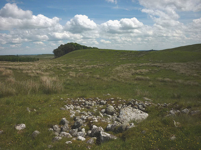
Housesteads Plantation is a picturesque woodland located in Northumberland, England. Situated in the heart of Hadrian's Wall Country, it covers an area of approximately 50 hectares and is renowned for its natural beauty and rich history. The plantation is named after the nearby Housesteads Roman Fort, a renowned archaeological site.
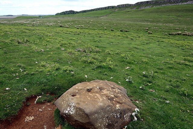
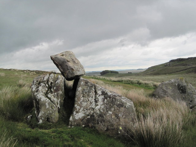
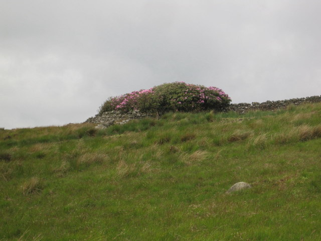
The woodland is predominantly composed of native tree species such as oak, birch, and ash, creating a diverse and vibrant ecosystem. The lush undergrowth consists of ferns, mosses, and wildflowers, providing a haven for various animal species including birds, squirrels, and small mammals. The area is also home to a variety of insects and butterflies, making it a haven for nature enthusiasts and wildlife photographers.
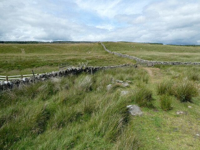
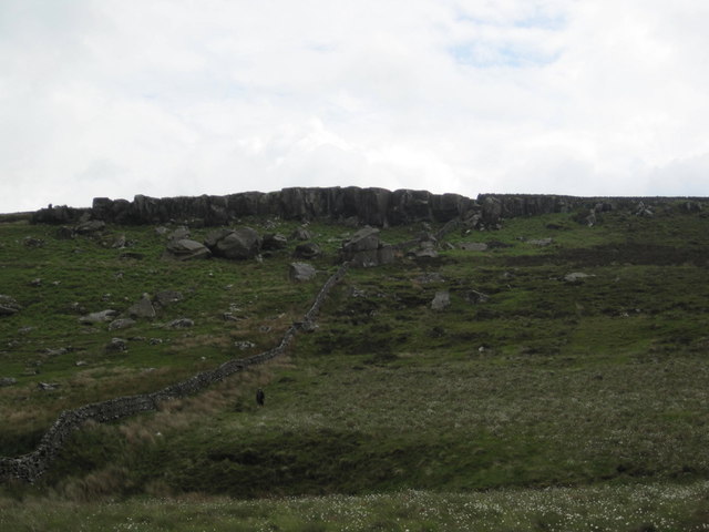
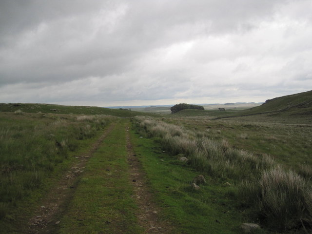
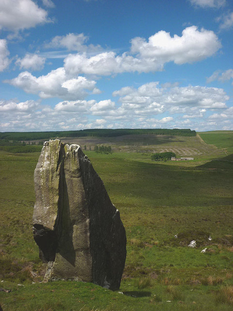
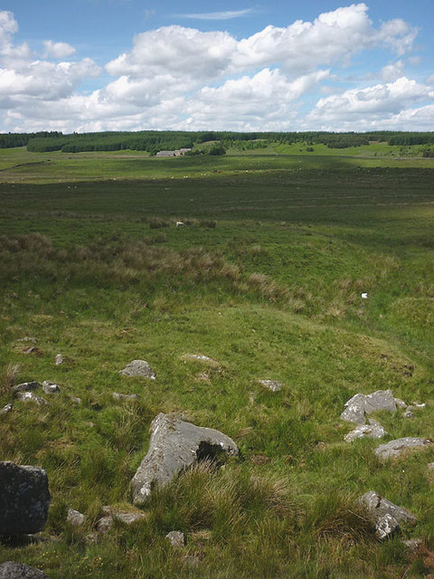
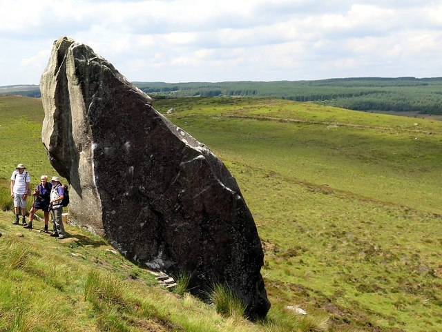
Housesteads Plantation is a popular destination for outdoor activities and recreational pursuits. It offers numerous walking trails that wind through the woodland, allowing visitors to explore the natural beauty at their own pace. The plantation also provides stunning panoramic views of the surrounding countryside and the iconic Hadrian's Wall.
In addition to its natural allure, the plantation holds historical significance. It is believed that the area was used for timber production during the Roman era, providing wood for the construction and maintenance of Hadrian's Wall. Today, remnants of Roman-era charcoal pits can still be found within the woodland, serving as a tangible link to the past.
Overall, Housesteads Plantation is a captivating destination that seamlessly combines natural beauty with historical importance. Whether visitors are seeking a tranquil walk in the woods or a glimpse into the region's rich heritage, this woodland gem offers an unforgettable experience for all.
If you have any feedback on the listing, please let us know in the comments section below.
Housesteads Plantation Images
Images are sourced within 2km of 55.015065/-2.3269314 or Grid Reference NY7968. Thanks to Geograph Open Source API. All images are credited.


Housesteads Plantation is located at Grid Ref: NY7968 (Lat: 55.015065, Lng: -2.3269314)
Unitary Authority: Northumberland
Police Authority: Northumbria
What 3 Words
///flown.truffles.nanny. Near Bardon Mill, Northumberland
Nearby Locations
Related Wikis

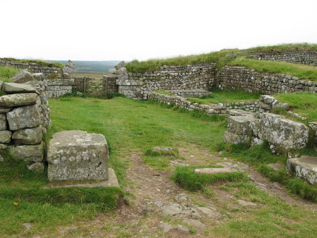
Knag Burn Gateway
The Knag Burn Gateway is a gateway which was built into Hadrian's Wall some time after construction of the wall itself, generally acknowledged to be during...
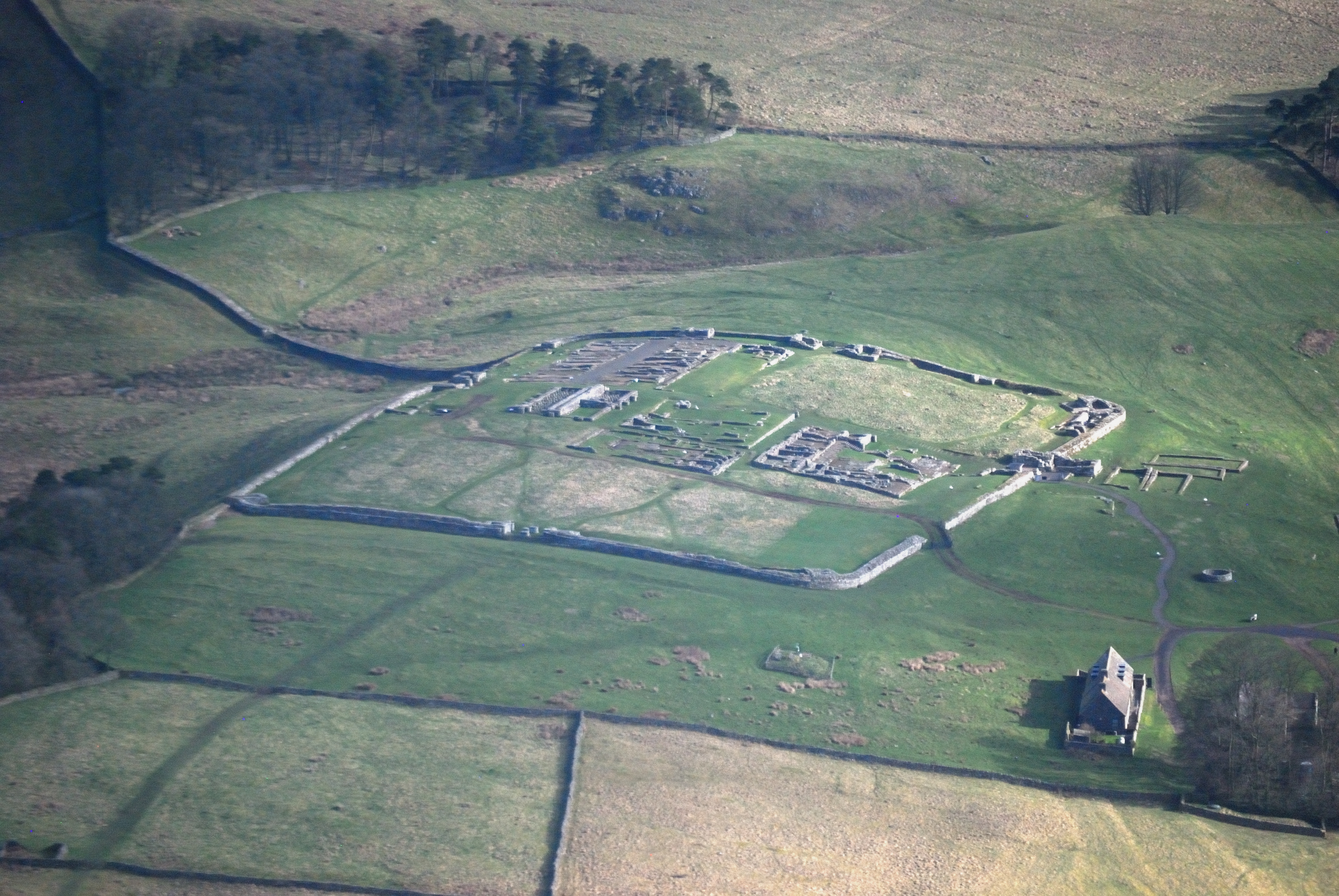
Housesteads Roman Fort
Housesteads Roman Fort is the remains of an auxiliary fort on Hadrian's Wall, at Housesteads, Northumberland, England, south of Broomlee Lough. The fort...

Milecastle 36
Milecastle 36 (King's Hill) was one of the milecastles on Hadrian's Wall (grid reference NY79726931). There is little to see on the ground as most of the...
Milecastle 37
Milecastle 37 is one of the milecastles on Hadrian's Wall. It is immediately west of the Housesteads Roman Fort (grid reference NY78506869). == Description... ==
Nearby Amenities
Located within 500m of 55.015065,-2.3269314Have you been to Housesteads Plantation?
Leave your review of Housesteads Plantation below (or comments, questions and feedback).