Brick-kiln Plantation

Wood, Forest in Staffordshire Stafford

England

Brick-kiln Plantation

Storage Yard for Farm Implements in Croxton
Storage Yard for Farm Implements in Croxton Credit: Mick Malpass

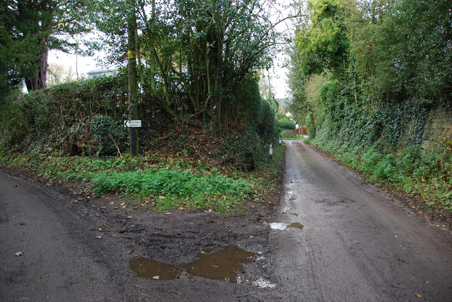
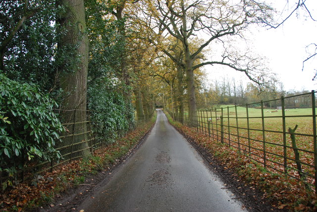
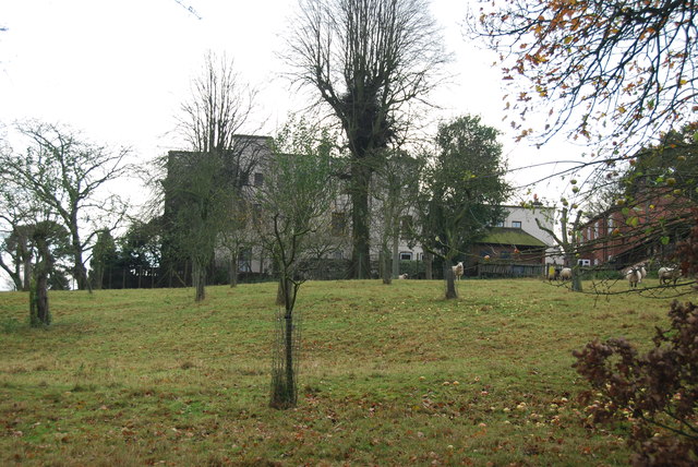
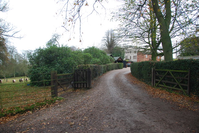
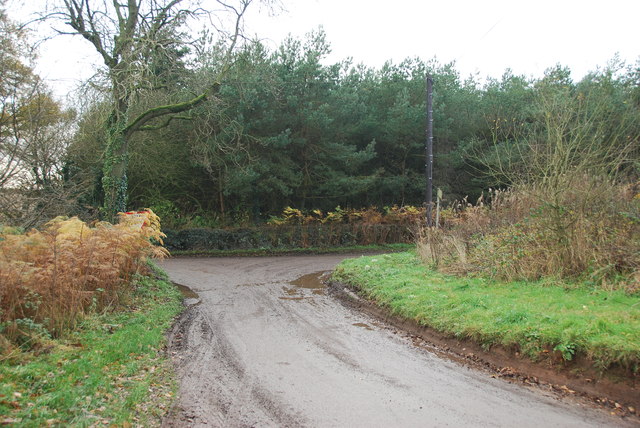
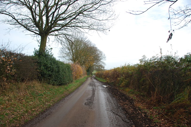
Brick-kiln Plantation is a picturesque woodland located in Staffordshire, England. Situated in the heart of the county, this enchanting forest covers an area of approximately 100 acres and is a popular destination for nature lovers and outdoor enthusiasts.

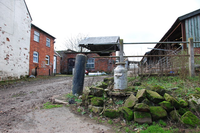
The plantation gets its name from its historical association with brick-making industry during the 19th century. It is said that the abundant supply of clay found in this area made it an ideal location for brick kilns. Although the brick-making operations are long gone, the name has stuck and continues to be used to this day.

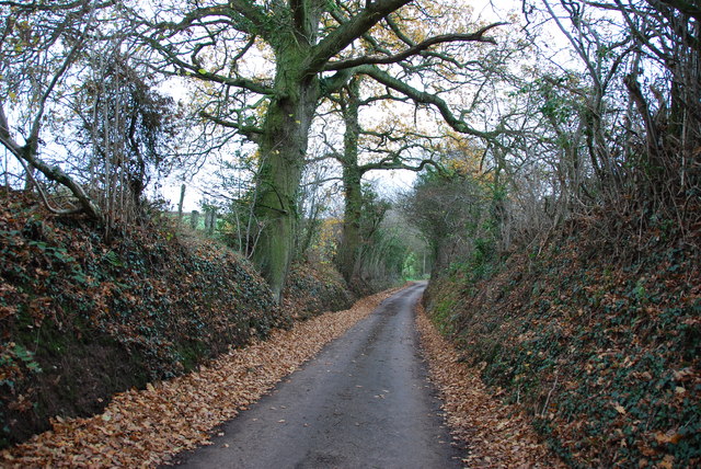
The woodland is a diverse mix of trees, including oak, birch, beech, and coniferous species. The dense canopy of the trees provides a cool and shaded environment, perfect for a leisurely stroll or a picnic. The forest floor is carpeted with a variety of wildflowers during the spring and summer months, adding a burst of color to the landscape.

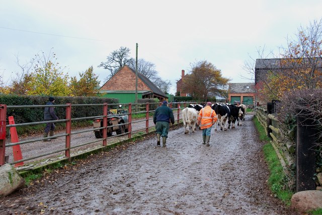
Various wildlife can be spotted in Brick-kiln Plantation, including deer, rabbits, squirrels, and a variety of bird species. Birdwatchers will be delighted by the opportunity to spot woodpeckers, thrushes, and finches in their natural habitat.

The plantation is crisscrossed by a network of well-maintained walking trails, offering visitors the chance to explore its beauty at their own pace. These trails are suitable for all abilities, making it an ideal destination for families and individuals of all ages.

Brick-kiln Plantation is a tranquil oasis in the heart of Staffordshire, offering a serene escape from the hustle and bustle of everyday life. With its natural beauty and abundant wildlife, it is a must-visit destination for anyone seeking a peaceful retreat in nature.

If you have any feedback on the listing, please let us know in the comments section below.

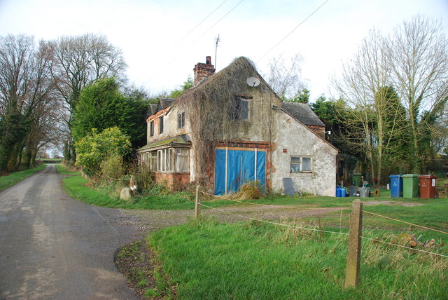
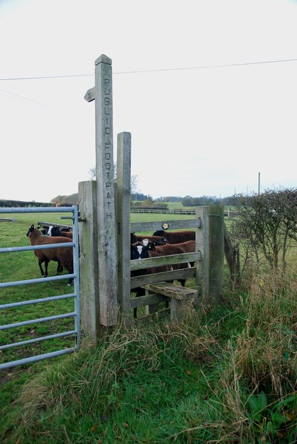
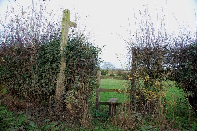
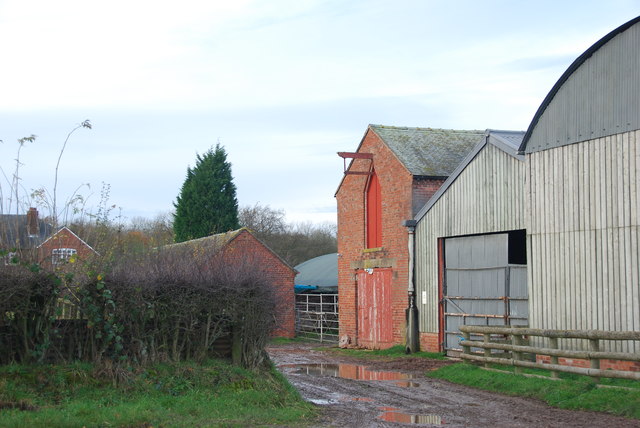
Brick-kiln Plantation Images

Images are sourced within 2km of 52.900845/-2.3108736 or Grid Reference SJ7933. Thanks to Geograph Open Source API. All images are credited.

Storage Yard for Farm Implements in Croxton
Side Streets in Croxton The lane straight on rejoins the B5026 just outside the village, the lane to the left goes to Woodwall Green.
Side Streets in Croxton
The lane straight on rejoins the B5026 just outside the village, the lane to the left goes to Woodwall Green.
Small Farm in Croxton This farm has a very inventive post box, it is an old milk churn, with a waterproof slot near the top, and a door has been cut lower down to enable the post to be removed.
Small Farm in Croxton
This farm has a very inventive post box, it is an old milk churn, with a waterproof slot near the top, and a door has been cut lower down to enable the post to be removed.
Country Lane near Croxton
Narrow Lane heading towards Newhouse Farm The lanes round here don't seem to get much wider, but at least they are not getting narrower. They must be rough when there is snow about.
Narrow Lane heading towards Newhouse Farm
The lanes round here don't seem to get much wider, but at least they are not getting narrower. They must be rough when there is snow about.
Cattle Drive English Style at Newhouse Farm These young cattle were being brought back to the farm, from a field down the lane.
Cattle Drive English Style at Newhouse Farm
These young cattle were being brought back to the farm, from a field down the lane.
Derelict house on the road to Chatcull I wonder what stories this house has to tell.
Derelict house on the road to Chatcull
I wonder what stories this house has to tell.
Crossroads near Chatcull
Bridge over a small stream near Whittington
Red brick barn at Brooklyn Farm
Stile and footpath with rare breed sheep A rare breed of small black and white sheep called Balwen, looking like Border Collies. They are marked with a white stripe on the head (hence the name), have four white feet and long tails with a white tip.     see link  <span class="nowrap"><a title="http://lifeasahuman.com/2010/humor/a-rare-breed-of-sheep-and-civil-servants/" rel="nofollow ugc noopener" href="http://lifeasahuman.com/2010/humor/a-rare-breed-of-sheep-and-civil-servants/">Link</a><img style="margin-left:2px;" alt="External link" title="External link - shift click to open in new window" src="https://s1.geograph.org.uk/img/external.png" width="10" height="10"/></span>
Stile and footpath with rare breed sheep
A rare breed of small black and white sheep called Balwen, looking like Border Collies. They are marked with a white stripe on the head (hence the name), have four white feet and long tails with a white tip. see link LinkExternal link
Stile and footpath to Chatcull
Entrance to Charnes Old Hall farm
Road through Charnes estate This road with its metal fences and avenue of trees, gives the impression that there is large estate nearby.   see link  <span class="nowrap"><a title="http://www.britishlistedbuildings.co.uk/en-272232-charnes-hall-eccleshall" rel="nofollow ugc noopener" href="http://www.britishlistedbuildings.co.uk/en-272232-charnes-hall-eccleshall">Link</a><img style="margin-left:2px;" alt="External link" title="External link - shift click to open in new window" src="https://s1.geograph.org.uk/img/external.png" width="10" height="10"/></span>
Road through Charnes estate
This road with its metal fences and avenue of trees, gives the impression that there is large estate nearby. see link LinkExternal link
Charnes Hall, Eccleshall It is a pity that this old hall is partly covered by trees.  see link  <span class="nowrap"><a title="http://www.britishlistedbuildings.co.uk/en-272232-charnes-hall-eccleshall" rel="nofollow ugc noopener" href="http://www.britishlistedbuildings.co.uk/en-272232-charnes-hall-eccleshall">Link</a><img style="margin-left:2px;" alt="External link" title="External link - shift click to open in new window" src="https://s1.geograph.org.uk/img/external.png" width="10" height="10"/></span>
Charnes Hall, Eccleshall
It is a pity that this old hall is partly covered by trees. see link LinkExternal link
The driveway to Charnes Hall
Looking back to a road junction near the Ashley Road Plantation
Narrow roadway leading to Bromley Mill Farm
Show me another place!

Brick-kiln Plantation is located at Grid Ref: SJ7933 (Lat: 52.900845, Lng: -2.3108736)

Administrative County: Staffordshire

District: Stafford

Police Authority: Staffordshire

What 3 Words

///exhaling.hooks.shepherds. Near Standon, Staffordshire

Related Wikis

Croxton, Staffordshire

Croxton is a village on the B5026 between Eccleshall and Loggerheads. Population details for the 2011 census can be found under Eccleshall. It is notable...

Bowers, Staffordshire

Bowers is a village in Staffordshire, England. For population details as taken in the 2011 census see Standon.

Standon, Staffordshire

Standon is a village and civil parish in the Stafford district, in the county of Staffordshire, England. Standon has a church called Church of All Saints...

Armsdale

Armsdale is a village in Staffordshire, England. Population details for the 2011 census can be found under Eccleshall.

Coombesdale

Coombesdale is a small settlement in Staffordshire, England. It is near the A51 road and is 6 kilometres (4 mi) southwest of the city of Stoke-on-Trent...

Standon Bridge railway station

Standon Bridge railway station was a railway station in Standon, approximately 4 miles (6.4 km) west of Stone, Staffordshire. The station closed on 4 February...

Mill Meece Pumping Station

Mill Meece Pumping Station is a pumping station, located in the village of Mill Meece in Staffordshire, England. Its function, powered by steam engines...

Ashley, Staffordshire

Ashley is a village and former civil parish, now in the parish of Loggerheads, in the Newcastle-under-Lyme district, in the county of Staffordshire, England...

Nearby Amenities

Located within 500m of 52.900845,-2.3108736
Power: tower
Source: Bing
Lat/Long: 52.9038922/-2.314301
Power: tower
Source: Bing
Lat/Long: 52.9019466/-2.3165702
Whittington
Place: hamlet
Lat/Long: 52.9006147/-2.3047634
Power: pole
Lat/Long: 52.904589/-2.3093732
Power: pole
Lat/Long: 52.9037458/-2.3131338
Power: pole
Lat/Long: 52.9046316/-2.3074068
Power: pole
Lat/Long: 52.9039663/-2.3071948
Power: pole
Lat/Long: 52.9032065/-2.3069336
Power: pole
Lat/Long: 52.9024578/-2.3066848
Power: pole
Lat/Long: 52.9015069/-2.3063843
Power: pole
Lat/Long: 52.9007137/-2.3061109
Power: pole
Lat/Long: 52.9000502/-2.3058927
Power: pole
Lat/Long: 52.8994497/-2.3056899
Power: pole
Lat/Long: 52.903388/-2.3155607
The data included in this document is from www.openstreetmap.org. The data is made available under ODbL.

Have you been to Brick-kiln Plantation?

Leave your review of Brick-kiln Plantation below (or comments, questions and feedback).