Farleigh Wood

Wood, Forest in Somerset Mendip

England

Farleigh Wood

Entrance to Wick Farm
Entrance to Wick Farm Credit: Anthony Parkes

Farleigh Wood is a picturesque forest located in Somerset, England. Spanning over a vast area, this wood is a haven for nature enthusiasts and offers a serene escape from the hustle and bustle of everyday life.

The wood is characterized by its diverse flora and fauna, with a rich array of native and exotic tree species. Towering oak and beech trees dominate the landscape, creating a dense canopy that filters the sunlight and casts dappled shadows on the forest floor. The forest is also home to a variety of wildlife, including deer, foxes, badgers, and a wide range of bird species, making it a popular spot for birdwatchers and wildlife photographers.

A network of well-maintained trails winds through the wood, providing visitors with the opportunity to explore and immerse themselves in the natural beauty of the surroundings. These paths cater to different levels of fitness and are suitable for both leisurely strolls and more vigorous hikes. Along the way, visitors may stumble upon hidden ponds, babbling brooks, and charming picnic spots, perfect for enjoying a peaceful lunch amidst nature.

In addition to its natural beauty, Farleigh Wood also holds historical significance. The remains of Iron Age forts and ancient burial mounds can be found within the wood, offering a glimpse into the area's past and adding an extra layer of intrigue to the visitor's experience.

Overall, Farleigh Wood is a must-visit destination for those seeking solace in nature. Its enchanting woodland, diverse wildlife, and historical heritage make it a truly captivating place to explore and connect with the natural world.

If you have any feedback on the listing, please let us know in the comments section below.

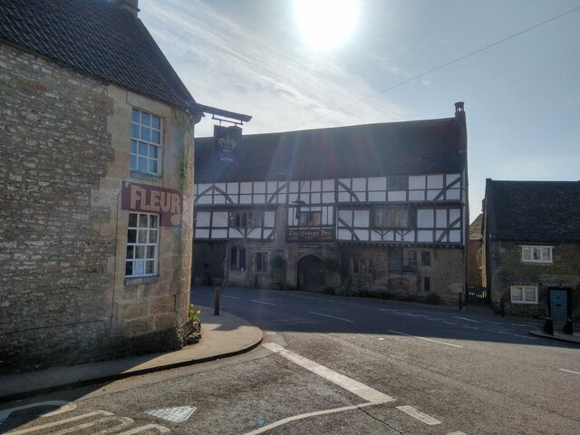
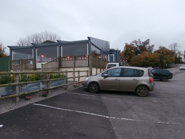
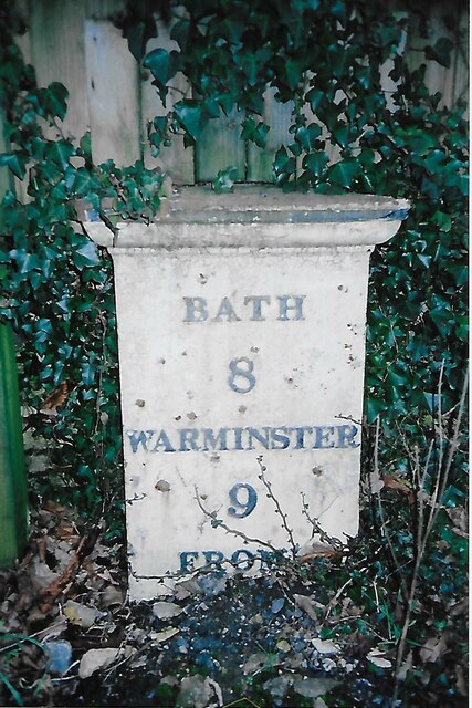
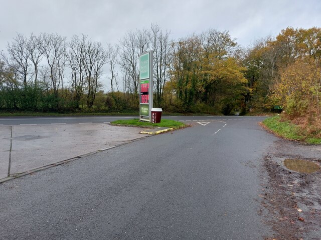
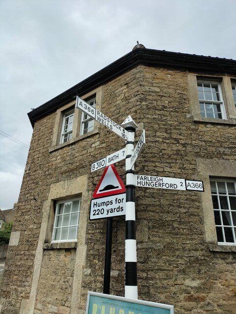
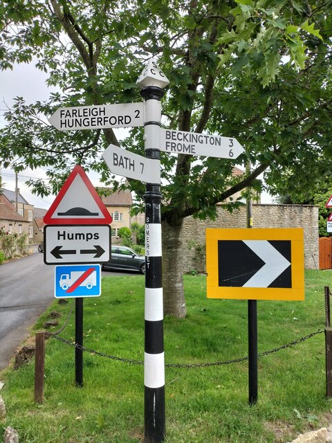
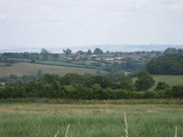
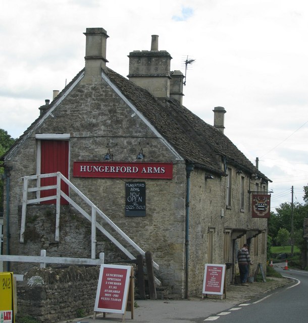
Farleigh Wood Images

Images are sourced within 2km of 51.304957/-2.3002636 or Grid Reference ST7956. Thanks to Geograph Open Source API. All images are credited.

Entrance to Wick Farm
Fields by the A36
Fields by the A36
New Entrance to Lower Chartley Farm & Training Centre
A336 from the A36
A336 from the A36
The Hungerford Arms
The Hungerford Arms
The George Inn in Norton St Philip Photograph of the George Inn in Norton St. Philip, looking south from the corner of Farleigh Road.
The George is reputedly one of England's oldest inns, and was the site for a sitting of the Bloody Assizes.
The George Inn in Norton St Philip
Photograph of the George Inn in Norton St. Philip, looking south from the corner of Farleigh Road. The George is reputedly one of England's oldest inns, and was the site for a sitting of the Bloody Assizes.
Farleigh Road farm shop Farleigh Road Farm Shop and Café <span class="nowrap"><a title="https://www.farleighroadfarmshop.co.uk/" rel="nofollow ugc noopener" href="https://www.farleighroadfarmshop.co.uk/">Link</a><img style="margin-left:2px;" alt="External link" title="External link - shift click to open in new window" src="https://s1.geograph.org.uk/img/external.png" width="10" height="10"/></span> lies just off the A366, the road running from the A36 to Norton St Philip.  To judge by the number of cars parked there (one is just arriving and more were out of shot) it was a popular place to visit on this autumn Tuesday afternoon.
Farleigh Road farm shop
Farleigh Road Farm Shop and Café LinkExternal link lies just off the A366, the road running from the A36 to Norton St Philip. To judge by the number of cars parked there (one is just arriving and more were out of shot) it was a popular place to visit on this autumn Tuesday afternoon.
Old Milestone, B3110, South East of Norton St Philip The milestone is located outside Chatley Cottage against the fence on the south side of the road. Parish of Tellisford (Mendip District). Cast iron post, C&M Classical iron casting design, erected by the Black Dog Turnpike Trust in the 19th century.

Inscription reads:-
BATH
8
WARMINSTER
9
(FROME)
(5)

Milestone Society National ID: SO_BAWM08
Old Milestone, B3110, South East of Norton St Philip
The milestone is located outside Chatley Cottage against the fence on the south side of the road. Parish of Tellisford (Mendip District). Cast iron post, C&M Classical iron casting design, erected by the Black Dog Turnpike Trust in the 19th century. Inscription reads:- BATH 8 WARMINSTER 9 (FROME) (5) Milestone Society National ID: SO_BAWM08
Farleigh Road Farm Shop and Cafe
Farleigh Service Station This is the current incarnation of the former Esso station seen at <a href="https://www.geograph.org.uk/photo/190400">ST7857 : A36 filling station</a> and <a href="https://www.geograph.org.uk/photo/4886190">ST7857 : Cross roads on A36</a>.  Fairleigh Service Station <span class="nowrap"><a title="https://petrol-stations.co.uk/05682054/Farleigh_Service_Station" rel="nofollow ugc noopener" href="https://petrol-stations.co.uk/05682054/Farleigh_Service_Station">Link</a><img style="margin-left:2px;" alt="External link" title="External link - shift click to open in new window" src="https://s1.geograph.org.uk/img/external.png" width="10" height="10"/></span> is now run by Applegreen and on this day was charging 166.8p a litre for unleaded petrol and 189.8p a litre for diesel.
Farleigh Service Station
This is the current incarnation of the former Esso station seen at ST7857 : A36 filling station and ST7857 : Cross roads on A36. Fairleigh Service Station LinkExternal link is now run by Applegreen and on this day was charging 166.8p a litre for unleaded petrol and 189.8p a litre for diesel.
Direction Sign – Signpost at crossroads in Norton St Philip Located on the northeast side of the crossroads of the A366 Farleigh Road and the B3110 Bath Road in Norton St Philip parish. 4 arms and pyramid finial. See <a title="https://www.geograph.org.uk/photo/6072119" href="https://www.geograph.org.uk/photo/6072119">Link</a> , <a title="https://www.geograph.org.uk/photo/4896857" href="https://www.geograph.org.uk/photo/4896857">Link</a> and <a title="https://www.geograph.org.uk/photo/3743844" href="https://www.geograph.org.uk/photo/3743844">Link</a> for photos before it was refurbished. The Farleigh Hungerford arm is new.

Milestone Society National ID: SO_ST7755
Direction Sign – Signpost at crossroads in Norton St Philip
Located on the northeast side of the crossroads of the A366 Farleigh Road and the B3110 Bath Road in Norton St Philip parish. 4 arms and pyramid finial. See Link , Link and Link for photos before it was refurbished. The Farleigh Hungerford arm is new. Milestone Society National ID: SO_ST7755
Direction Sign – Signpost on the B3110 Bath Road in Norton St Philip Located on the south side of a junction on the B3110 Bath Road north of the A366 Farleigh Road in Norton St Philip parish. 3 arms and pyramid finial. See <a title="https://www.geograph.org.uk/photo/6055950" href="https://www.geograph.org.uk/photo/6055950">Link</a> for a photo before it was refurbished. The Farleigh Hungerford arm is new.

Milestone Society National ID: SO_ST7755B
Direction Sign – Signpost on the B3110 Bath Road in Norton St Philip
Located on the south side of a junction on the B3110 Bath Road north of the A366 Farleigh Road in Norton St Philip parish. 3 arms and pyramid finial. See Link for a photo before it was refurbished. The Farleigh Hungerford arm is new. Milestone Society National ID: SO_ST7755B
Field corner
Field corner
Norton St Philip Seen from Baggeridge Farm byway a few kms to the west.  Bratton white horse just visible in the distance
Norton St Philip
Seen from Baggeridge Farm byway a few kms to the west. Bratton white horse just visible in the distance
The Hungerford Arms
The Hungerford Arms
Woodys, Norton St Philip
Lane heading north near Farleigh Wood
The George Inn, Norton St. Philip 1955 Nothing appears to have changed until the present day except they have re-painted the road markings. Compare with <a href="https://www.geograph.org.uk/photo/63400">ST7755 : The George Inn at Norton St Philip</a> by Ian Knox
The George Inn, Norton St. Philip 1955
Nothing appears to have changed until the present day except they have re-painted the road markings. Compare with ST7755 : The George Inn at Norton St Philip by Ian Knox
Show me another place!

Farleigh Wood is located at Grid Ref: ST7956 (Lat: 51.304957, Lng: -2.3002636)

Administrative County: Somerset

District: Mendip

Police Authority: Avon and Somerset

What 3 Words

///upholding.task.parties. Near Rode, Somerset

Nearby Locations

Farleigh Wood

Related Wikis

Ravenscroft School, Somerset

Ravenscroft School (founded 1931 at Yelverton, Devon, and until 1978 known as Ravenscroft Preparatory School) was an independent day and boarding school...

Tellisford

Tellisford is a village and civil parish 6 miles (10 km) north-east of Frome in the Mendip district of Somerset, England. The parish includes the village...

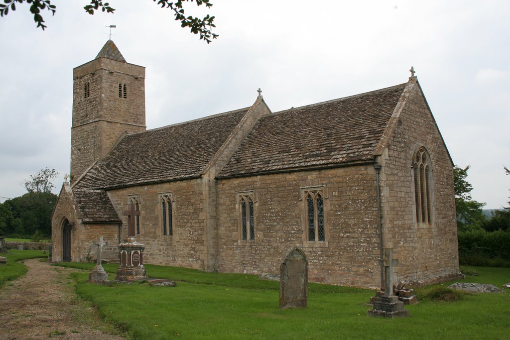
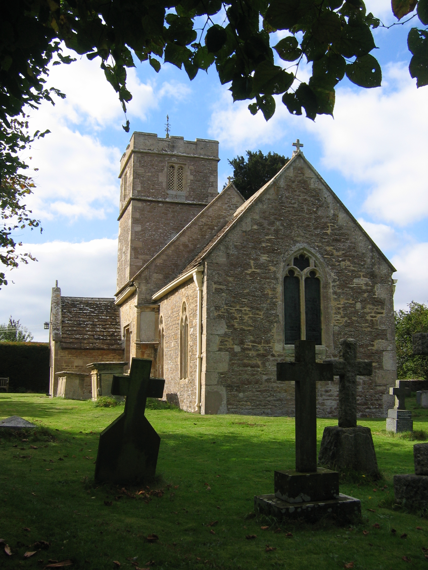
Church of St Leonard, Farleigh Hungerford

The Anglican Church of St Leonard in Farleigh Hungerford, within the English county of Somerset, was consecrated in 1443. It is a Grade II* listed building...
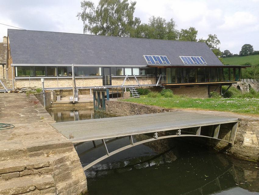
Tellisford Mill

Tellisford Mill is a 55 kilowatts (74 hp) installed capacity micro hydro run-of-the-river power station on the site of a former watermill in the village...

Farleigh Hungerford

Farleigh Hungerford (grid reference ST800576) is a village and former civil parish, now in the parish of Norton St Philip, in the Somerset district, in...

Farleigh House

Farleigh House, or Farleigh Castle, sometimes called Farleigh New Castle, is a large English country house in the county of Somerset, formerly the centre...

Farleigh Hungerford Castle

Farleigh Hungerford Castle, sometimes called Farleigh Castle or Farley Castle, is a medieval castle in Farleigh Hungerford, Somerset, England. The castle...
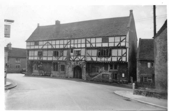
Norton St Philip

Norton St Philip is a village and civil parish in Somerset, England. The village lies about 5+1⁄2 miles (9 km) south of the city of Bath and 5 miles (8...

Nearby Amenities

Located within 500m of 51.304957,-2.3002636
Material: wood
Power: pole
Lat/Long: 51.3087862/-2.3038455
Material: wood
Power: pole
Lat/Long: 51.3082747/-2.3048034
Turning Loop
Lat/Long: 51.3030711/-2.2937677
The data included in this document is from www.openstreetmap.org. The data is made available under ODbL.

Have you been to Farleigh Wood?

Leave your review of Farleigh Wood below (or comments, questions and feedback).