Banner Down

Wood, Forest in Somerset

England

Banner Down

Near St Catherine's Fields near St Catherine's near Bath.
Near St Catherine's Credit: Wayland Smith

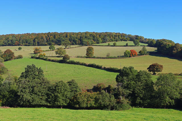
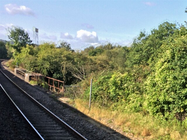
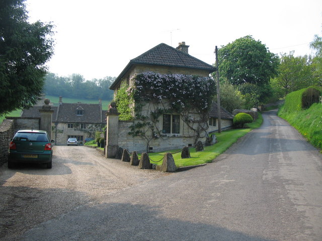
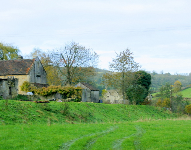
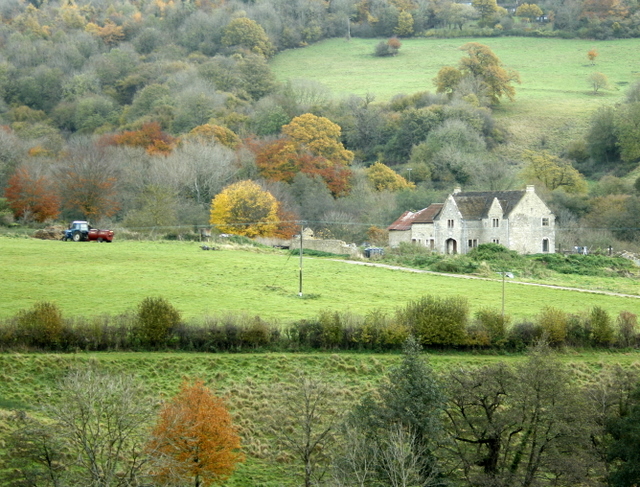
Banner Down is a picturesque woodland area located in Somerset, England. Situated near the village of Wood and surrounded by lush greenery, it is a popular destination for nature enthusiasts and hikers alike. The woodland is part of the expansive Forest of Somerset and covers a vast area of approximately 100 acres.

The landscape of Banner Down is characterized by gently rolling hills, dense foliage, and an abundance of diverse flora and fauna. The woodland is primarily composed of broadleaf trees such as oak, beech, and ash, which create a vibrant canopy overhead. This rich vegetation provides a habitat for various wildlife species, including deer, foxes, badgers, and a wide variety of birds.

Visitors to Banner Down can enjoy a range of activities in this tranquil setting. There are several well-maintained walking trails that offer stunning views of the surrounding countryside. These paths wind through the woods, taking hikers through dense thickets, across babbling brooks, and up to panoramic viewpoints. The area is also popular for picnicking, photography, and birdwatching.

Banner Down is easily accessible, with ample parking facilities available for visitors. There are information boards located at the entrance, providing details about the flora, fauna, and history of the woodland. The site is open year-round, allowing visitors to experience the changing beauty of the seasons.

In summary, Banner Down in Somerset is a captivating woodland area, offering a peaceful retreat for those seeking to connect with nature. With its stunning scenery, diverse wildlife, and a range of recreational activities, it is a must-visit destination for outdoor enthusiasts.

If you have any feedback on the listing, please let us know in the comments section below.

Banner Down Images

Images are sourced within 2km of 51.415389/-2.3018211 or Grid Reference ST7968. Thanks to Geograph Open Source API. All images are credited.

Near St Catherine's Fields near St Catherine's near Bath.
Near St Catherine's
Fields near St Catherine's near Bath.
Three Shire Stones, 1 Camera is on the Fosse Way (Wiltshire), left of the stones is Somerset and beyond the wall to the right is Gloucestershire.
Three Shire Stones, 1
Camera is on the Fosse Way (Wiltshire), left of the stones is Somerset and beyond the wall to the right is Gloucestershire.
Three Shire Stones, 2 Camera is on the Fosse Way (Wiltshire), left of the stones is Somerset and beyond the wall to the right is Gloucestershire.
Three Shire Stones, 2
Camera is on the Fosse Way (Wiltshire), left of the stones is Somerset and beyond the wall to the right is Gloucestershire.
Milestone by A4, London Road East; 100m West of Lower Shockerwick Lodge The Milestone is located on grass verge by path on the North of the road.  Parish of Bathford (Bath and North East Somerset District). Metal plate attached to stone post, Bath incised iron plate design, erected by the Bath turnpike trust in the 21st Century. An earlier photograph can be found here: <a title="https://www.geograph.org.uk/photo/6049925" href="https://www.geograph.org.uk/photo/6049925">Link</a> 

Inscription reads:-  
To / BATH / 4 

Milestone Society National ID: SO_BACH04
Milestone by A4, London Road East; 100m West of Lower Shockerwick Lodge
The Milestone is located on grass verge by path on the North of the road.  Parish of Bathford (Bath and North East Somerset District). Metal plate attached to stone post, Bath incised iron plate design, erected by the Bath turnpike trust in the 21st Century. An earlier photograph can be found here: Link  Inscription reads:- To / BATH / 4 Milestone Society National ID: SO_BACH04
From a Swindon-Bristol train, lineside shed near Shockerwick
From a Swindon-Bristol train, crossing a bridge at Box Bridge
Old Milestone by the A4, London Road East, Bathford parish Metal plate attached to stone post by the A4, in parish of BATHFORD (BATH AND NORTH EAST SOMERSET District), London Road East; 100m West of Lower Shockerwick Lodge, on grass verge by path, on North side of road. Bath incised iron plate, erected by the Bath turnpike trust in the 21st century. 

Inscription reads:-
To
BATH
4 

Milestone Society National ID: SO_BACH04.
Old Milestone by the A4, London Road East, Bathford parish
Metal plate attached to stone post by the A4, in parish of BATHFORD (BATH AND NORTH EAST SOMERSET District), London Road East; 100m West of Lower Shockerwick Lodge, on grass verge by path, on North side of road. Bath incised iron plate, erected by the Bath turnpike trust in the 21st century. Inscription reads:- To BATH 4 Milestone Society National ID: SO_BACH04.
Box Bridge This bridge carries the main Bristol - London railway line over a minor road, which joins the A4 on the other side of the bridge.
Box Bridge
This bridge carries the main Bristol - London railway line over a minor road, which joins the A4 on the other side of the bridge.
By Brook valley Looking north west across the valley of the By Brook, Shockerwick House catches the late afternoon sun. This listed 18th century Georgian mansion, attributed to Wood the Elder for William Wiltshire, is now a residential and nursing home.
By Brook valley
Looking north west across the valley of the By Brook, Shockerwick House catches the late afternoon sun. This listed 18th century Georgian mansion, attributed to Wood the Elder for William Wiltshire, is now a residential and nursing home.
Three Shires Stones A view looking north along the Fosse Way. The Three Shires Stones are at right of the image. I assume that the name comes from the stones position at the meeting point of the old counties of Somerset, Wiltshire and Gloucestershire.
Three Shires Stones
A view looking north along the Fosse Way. The Three Shires Stones are at right of the image. I assume that the name comes from the stones position at the meeting point of the old counties of Somerset, Wiltshire and Gloucestershire.
Alcombe Manor A view looking to the northwest along the lane leading up to Banner Down, showing Alcombe Manor on the left.
Alcombe Manor
A view looking to the northwest along the lane leading up to Banner Down, showing Alcombe Manor on the left.
Workshops at Oakleigh Set in a deeply wooded valley, north of Batheaston.
Workshops at Oakleigh
Set in a deeply wooded valley, north of Batheaston.
Three Shire Stone This is not the ancient monument that it first appears, but an eighteenth century folly erected at the meeting of the ancient counties of Gloucestershire, Somerset and Wiltshire.
Three Shire Stone
This is not the ancient monument that it first appears, but an eighteenth century folly erected at the meeting of the ancient counties of Gloucestershire, Somerset and Wiltshire.
2008 : Bath to Chippenham main line Surveyed and engineered by Brunel as part of the Great Western Railway line from Temple Meads, Bristol to London.
The view is west toward Bath and Bristol.
2008 : Bath to Chippenham main line
Surveyed and engineered by Brunel as part of the Great Western Railway line from Temple Meads, Bristol to London. The view is west toward Bath and Bristol.
2008 : Steep hill near Alcombe Follow the road to the right in <a href="https://www.geograph.org.uk/photo/167656">ST8069 : Alcombe Manor</a> and you come to a steep hill, turn round half way up and you see this.
Lovely walking or cycling country if a little strenuous, but worth the effort.
OS Explorer maps 155 & 156 will help you plan your trip.
2008 : Steep hill near Alcombe
Follow the road to the right in ST8069 : Alcombe Manor and you come to a steep hill, turn round half way up and you see this. Lovely walking or cycling country if a little strenuous, but worth the effort. OS Explorer maps 155 & 156 will help you plan your trip.
2008 : B.R. mainline near Ashley The Bristol to London main line disappears in the distance on its way to Chippenham.
2008 : B.R. mainline near Ashley
The Bristol to London main line disappears in the distance on its way to Chippenham.
2008 : Oakford Farm Seen from Oakford Lane. Water from springs near Ashwicke Home Farm flows through here and joins St.Catherine's Brook a few yards further on.
2008 : Oakford Farm
Seen from Oakford Lane. Water from springs near Ashwicke Home Farm flows through here and joins St.Catherine's Brook a few yards further on.
2008 : House in St.Catherine's Valley Seen from Leigh Lane.
Orchard Wood is on the far side of the valley to the left.
2008 : House in St.Catherine's Valley
Seen from Leigh Lane. Orchard Wood is on the far side of the valley to the left.
Show me another place!

Banner Down is located at Grid Ref: ST7968 (Lat: 51.415389, Lng: -2.3018211)

Unitary Authority: Bath and North East Somerset

Police Authority: Avon and Somerset

What 3 Words

///punks.remedy.stream. Near Bathford, Somerset

Nearby Locations

Woodleaze Wood Banner Down

Related Wikis

Eagle House (suffragette's rest)

Eagle House is a Grade II* listed building in Batheaston, Somerset, near Bath. Before World War I the house had extensive grounds. When Emily Blathwayt...

Church of St John The Baptist, Batheaston

The Church of St John the Baptist in Northend, Batheaston within the English county of Somerset was built in the 12th century and remodelled in the 15th...

Batheaston

Batheaston is a village and civil parish 2 miles (3.2 km) east of the English city of Bath, on the north bank of the River Avon. The parish had a population...

Shockerwick House

Shockerwick House in Bathford, Somerset, England was built as a manor house around 1750 by John Wood, the Elder. It has been designated as a Grade I listed...

Nearby Amenities

Located within 500m of 51.415389,-2.3018211
Man Made: survey_point
Lat/Long: 51.4145187/-2.3001203
Barrier: kissing_gate
Lat/Long: 51.4120442/-2.3060238
Bannerdown Common
Place: locality
Lat/Long: 51.4170335/-2.3000486
Power: pole
Lat/Long: 51.411452/-2.2983677
Power: pole
Lat/Long: 51.4120549/-2.2976345
Power: pole
Lat/Long: 51.4126011/-2.2969107
Power: pole
Lat/Long: 51.4131446/-2.2961556
Power: pole
Lat/Long: 51.4136976/-2.2954124
The data included in this document is from www.openstreetmap.org. The data is made available under ODbL.

Have you been to Banner Down?

Leave your review of Banner Down below (or comments, questions and feedback).