Lanegreen Plantation

Wood, Forest in Shropshire

England

Lanegreen Plantation

Sandstone in lane near Tuckhill in Shropshire The lane is deeply cut through the Triassic red sandstone bedrock here.
Sandstone in lane near Tuckhill in Shropshire Credit: Roger D Kidd

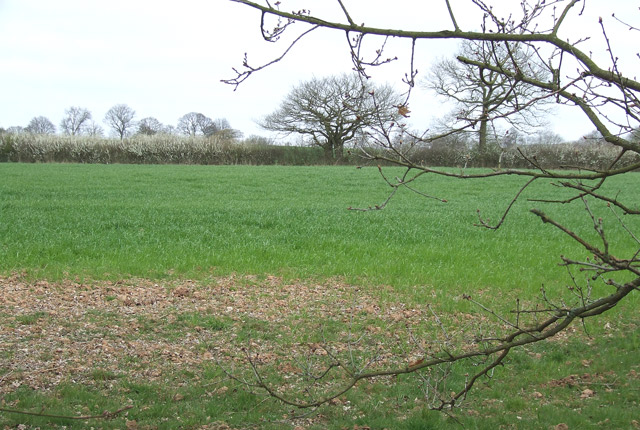
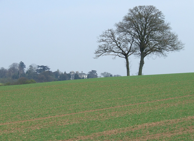
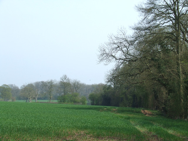
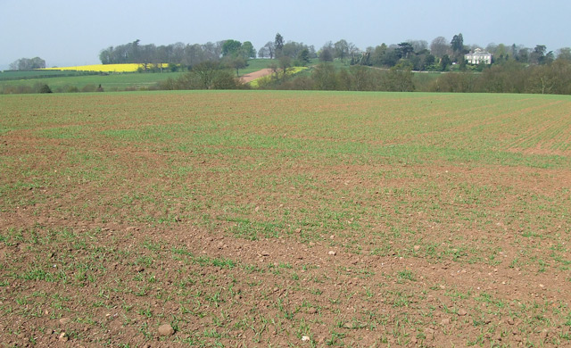
Lanegreen Plantation is a picturesque woodland located in the county of Shropshire, England. Situated in the heart of the county, this enchanting forest covers an area of approximately 100 acres and is a haven for nature lovers and outdoor enthusiasts.

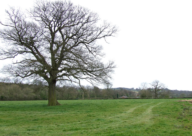
The plantation is primarily composed of native deciduous trees, including oak, beech, ash, and birch, which create a diverse and vibrant ecosystem. The dense canopy of foliage provides a cool and tranquil atmosphere, making it an ideal destination for those seeking respite from the hustle and bustle of everyday life.

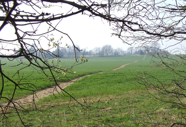
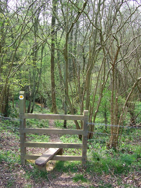
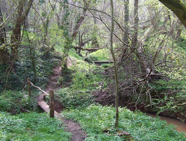
The woodland is crisscrossed by a network of well-maintained paths, allowing visitors to explore the area on foot or by bike. These trails wind through the forest, offering breathtaking views of the surrounding countryside and providing opportunities for wildlife spotting. Lanegreen Plantation is home to various bird species, such as woodpeckers, owls, and songbirds, making it a popular destination for birdwatchers.

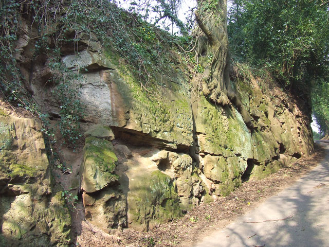
In addition to its natural beauty, the plantation also boasts a rich history. It is believed to have been used for timber production in the past, and remnants of old sawmills can still be found scattered throughout the area. These historical features add a touch of charm and intrigue to the woodland, enhancing the overall visitor experience.

Lanegreen Plantation is the perfect place to immerse oneself in nature, offering a tranquil retreat for individuals and families alike. With its diverse flora and fauna, well-maintained trails, and rich history, this woodland gem in Shropshire truly has something to offer everyone who ventures within its borders.

If you have any feedback on the listing, please let us know in the comments section below.

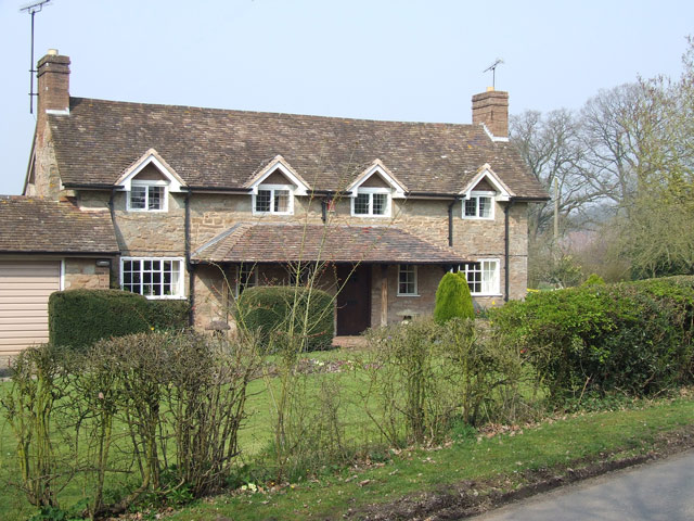
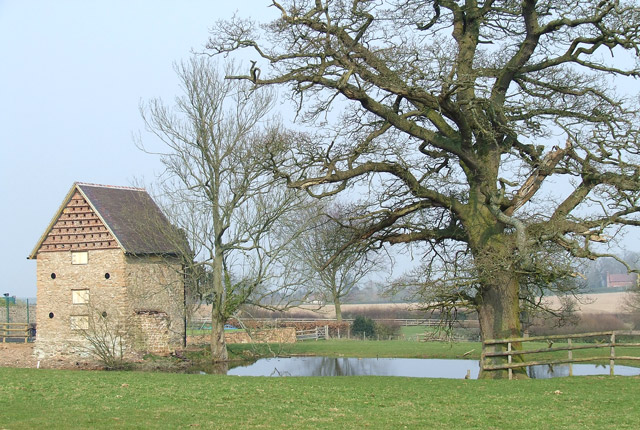
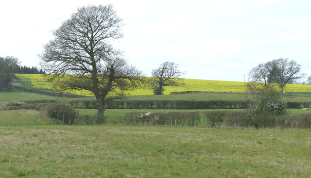
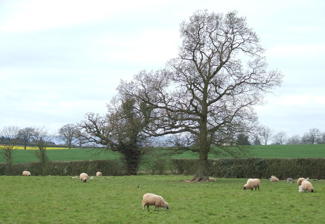
Lanegreen Plantation Images

Images are sourced within 2km of 52.471979/-2.3091359 or Grid Reference SO7986. Thanks to Geograph Open Source API. All images are credited.

Sandstone in lane near Tuckhill in Shropshire The lane is deeply cut through the Triassic red sandstone bedrock here.
Sandstone in lane near Tuckhill in Shropshire
The lane is deeply cut through the Triassic red sandstone bedrock here.
Field and footpath  near Tuckhill in Shropshire The public footpath leads through the cereal crop towards Nicholl's Covert and Four Ashes.
Field and footpath near Tuckhill in Shropshire
The public footpath leads through the cereal crop towards Nicholl's Covert and Four Ashes.
Public Footpath near Tuckhill, Shropshire Looking out of Nicholl's Covert, the path is well defined climbing through the cereal crop towards Tuckhill.
Public Footpath near Tuckhill, Shropshire
Looking out of Nicholl's Covert, the path is well defined climbing through the cereal crop towards Tuckhill.
New Stabling, near Tuckhill, Shropshire Let's hope the raw colour will become more subdued in time!
New Stabling, near Tuckhill, Shropshire
Let's hope the raw colour will become more subdued in time!
Grazing, near Tuckhill, Shropshire
Stone Cottage near Tuckhill, Shropshire
Dudhill, and Hall, Shropshire
Building, Oak, and Pond. Tuckhill Farm The 88 Northing line goes right through the pond!!
Building, Oak, and Pond. Tuckhill Farm
The 88 Northing line goes right through the pond!!
Pasture north-east of Alveley in Shropshire Looking west-south-west from the bridleway near Lane Green
Pasture north-east of Alveley in Shropshire
Looking west-south-west from the bridleway near Lane Green
Sheep grazing south of Tuckhill in Shropshire The land around is used for mixed grazing, and cereal crops and oilseed rape.
Sheep grazing south of Tuckhill in Shropshire
The land around is used for mixed grazing, and cereal crops and oilseed rape.
Cereal cropfield near Birdsgreen in Shropshire Some of the fields in the north this square are a little inaccessible.
Cereal cropfield near Birdsgreen in Shropshire
Some of the fields in the north this square are a little inaccessible.
Beauty Bank Farmhouse west of Coxgreen in Staffordshire Just over into Shropshire, this farmhouse has been expertly renovated and extended, including the use of local sandstone materials. Superb!
Beauty Bank Farmhouse west of Coxgreen in Staffordshire
Just over into Shropshire, this farmhouse has been expertly renovated and extended, including the use of local sandstone materials. Superb!
Grazing Land near Lindridge, Shropshire
Crop field and oak Trees near Birdsgreen in Shropshire A telephoto assisted image looking north from the lane near Allum Bridge.
The cereal crop has germinated nicely. A public footpath passes across the ridge just past the oak trees. A wooded valley (Coton Dingle)  is hidden between the trees and Coton Hall which shows on the skyline.
Crop field and oak Trees near Birdsgreen in Shropshire
A telephoto assisted image looking north from the lane near Allum Bridge. The cereal crop has germinated nicely. A public footpath passes across the ridge just past the oak trees. A wooded valley (Coton Dingle) is hidden between the trees and Coton Hall which shows on the skyline.
Cereal crop and woodland near Hartsgreen in Shropshire Most land in the vicinity is dedicated to cereal crops or grazing, with small areas of woodland still remaining.
Cereal crop and woodland near Hartsgreen in Shropshire
Most land in the vicinity is dedicated to cereal crops or grazing, with small areas of woodland still remaining.
"Down into the Dingle" - Bowhills, Shropshire The public footpath to Cross Farm enters a long strip of woodland in a steep narrow valley, known as Bowhills Dingle.
"Down into the Dingle" - Bowhills, Shropshire
The public footpath to Cross Farm enters a long strip of woodland in a steep narrow valley, known as Bowhills Dingle.
"And Across the Rickety Bridge" - Bowhills, Shropshire Crossing this deeply cut stream valley can be a problem after heavy rain. The public footpath is well marked, but this part tends to be muddy except during dry spells.
"And Across the Rickety Bridge" - Bowhills, Shropshire
Crossing this deeply cut stream valley can be a problem after heavy rain. The public footpath is well marked, but this part tends to be muddy except during dry spells.
Crop Field near Birdsgreen, Shropshire The cereal crop has germinated well. The line of trees (beyond which Coton Hall can be seen) marks the wooded valley called Coton Dingle.
Crop Field near Birdsgreen, Shropshire
The cereal crop has germinated well. The line of trees (beyond which Coton Hall can be seen) marks the wooded valley called Coton Dingle.
Show me another place!

Lanegreen Plantation is located at Grid Ref: SO7986 (Lat: 52.471979, Lng: -2.3091359)

Unitary Authority: Shropshire

Police Authority: West Mercia

What 3 Words

///crisper.strain.column. Near Romsley, Shropshire

Nearby Locations

Lanegreen Plantation

Related Wikis

Coton, Alveley, Shropshire

Coton is located northeast of Alveley, Shropshire and was associated with the manor Coton Hall. The ancestors of General Robert E. Lee left Coton near...

Kingsnordley

Kingsnordley is a manor in the northern part of the parish of Alveley. This part of the parish has no nucleated village, but there is a Church of England...

Six Ashes

Six Ashes is a small village in Shropshire, England, on the Shropshire side of the border with Staffordshire. == See also == Tripartite Indenture ��2...

Romsley, Shropshire

Romsley (grid reference SO783826) is a hamlet and civil parish in southeast Shropshire, England. It is bounded on the north and west by Alveley and on...

Nearby Amenities

Located within 500m of 52.471979,-2.3091359
The data included in this document is from www.openstreetmap.org. The data is made available under ODbL.

Have you been to Lanegreen Plantation?

Leave your review of Lanegreen Plantation below (or comments, questions and feedback).