Binley Wood

Wood, Forest in Gloucestershire Stroud

England

Binley Wood

Cut Mark: Tresham, Tresham Church Cut mark on the left side of the porch.  See <a title="https://www.geograph.org.uk/photo/7070614" href="https://www.geograph.org.uk/photo/7070614">Link</a> for a wider view and <span class="nowrap"><a title="https://www.bench-marks.org.uk/bm90737" rel="nofollow ugc noopener" href="https://www.bench-marks.org.uk/bm90737">Link</a><img style="margin-left:2px;" alt="External link" title="External link - shift click to open in new window" src="https://s1.geograph.org.uk/img/external.png" width="10" height="10"/></span> for details of the mark.
Cut Mark: Tresham, Tresham Church Credit: Brian Westlake

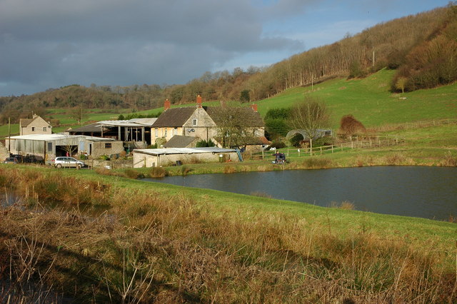
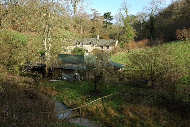
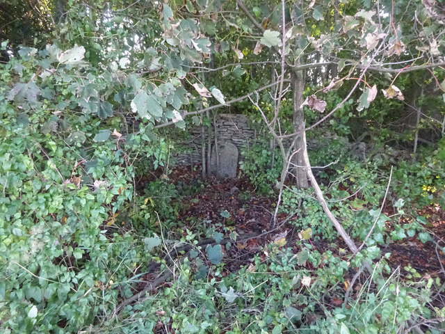
Binley Wood is a picturesque woodland located in the county of Gloucestershire, England. Covering an area of approximately 50 hectares, it is situated near the village of Binley, about 12 miles northeast of Gloucester. The wood is part of the Forest of Dean and is renowned for its natural beauty and diverse ecosystems.

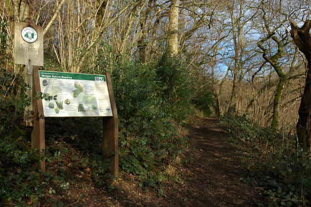
Binley Wood is predominantly composed of mixed deciduous trees, including oak, beech, ash, and birch. These trees create a dense canopy that provides shade and shelter for a wide range of flora and fauna. The forest floor is carpeted with a variety of wildflowers, such as bluebells, primroses, and wood anemones, which bloom in vibrant colors during the spring.

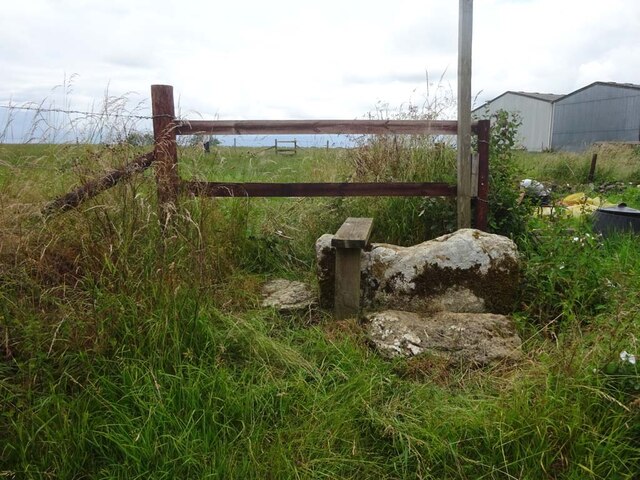
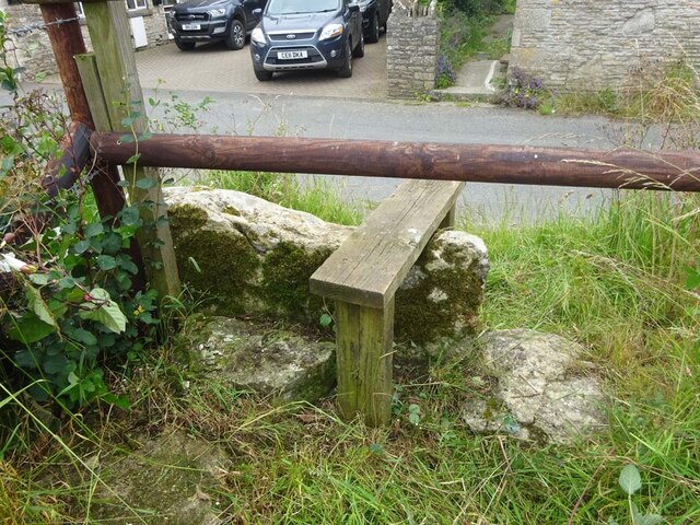
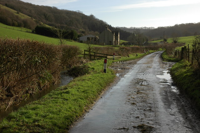
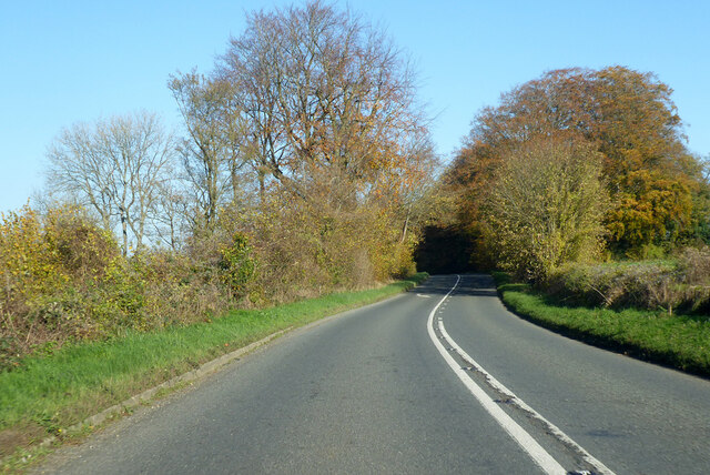
The wood is crisscrossed by a network of well-maintained footpaths, allowing visitors to explore and enjoy the tranquil surroundings. These paths lead to hidden clearings and small ponds, providing opportunities for wildlife watching and peaceful reflection.

Binley Wood is home to a rich array of wildlife. It is a haven for bird enthusiasts, with species such as woodpeckers, thrushes, and owls frequently spotted. Mammals like foxes, badgers, and deer can also be seen roaming the forest, particularly during early morning or late evening.

The wood is managed by the Forestry Commission, which ensures the preservation of its natural habitats and promotes sustainable forestry practices. Binley Wood is a cherished recreational area for locals and visitors alike, offering a serene escape from the bustle of urban life.

If you have any feedback on the listing, please let us know in the comments section below.

Binley Wood Images

Images are sourced within 2km of 51.615333/-2.3051397 or Grid Reference ST7890. Thanks to Geograph Open Source API. All images are credited.

Cut Mark: Tresham, Tresham Church Cut mark on the left side of the porch.  See <a title="https://www.geograph.org.uk/photo/7070614" href="https://www.geograph.org.uk/photo/7070614">Link</a> for a wider view and <span class="nowrap"><a title="https://www.bench-marks.org.uk/bm90737" rel="nofollow ugc noopener" href="https://www.bench-marks.org.uk/bm90737">Link</a><img style="margin-left:2px;" alt="External link" title="External link - shift click to open in new window" src="https://s1.geograph.org.uk/img/external.png" width="10" height="10"/></span> for details of the mark.
Cut Mark: Tresham, Tresham Church
Cut mark on the left side of the porch. See Link for a wider view and LinkExternal link for details of the mark.
Tresham Church There is a cut bench mark on the left side of the porch.  See <a title="https://www.geograph.org.uk/photo/7070605" href="https://www.geograph.org.uk/photo/7070605">Link</a> for a closer view and <span class="nowrap"><a title="https://www.bench-marks.org.uk/bm90737" rel="nofollow ugc noopener" href="https://www.bench-marks.org.uk/bm90737">Link</a><img style="margin-left:2px;" alt="External link" title="External link - shift click to open in new window" src="https://s1.geograph.org.uk/img/external.png" width="10" height="10"/></span> for details of the mark.
Tresham Church
There is a cut bench mark on the left side of the porch. See Link for a closer view and LinkExternal link for details of the mark.
Stone Stile, Tresham On Gloucestershire footpath LHT4, Monarch's Way. Looking from the enclosed path that runs alongside the garden of "Tythe Barn". The view looking in is <a href="https://www.geograph.org.uk/photo/7217327">ST7991 : Stone Stile, Tresham</a>.
Stone Stile, Tresham
On Gloucestershire footpath LHT4, Monarch's Way. Looking from the enclosed path that runs alongside the garden of "Tythe Barn". The view looking in is ST7991 : Stone Stile, Tresham.
Stone Stile, Tresham On Gloucestershire footpath LHT4, Monarch's Way. Looking from the field to an enclosed path that runs alongside the garden of "Tythe Barn". The view looking out is <a href="https://www.geograph.org.uk/photo/7217326">ST7991 : Stone Stile, Tresham</a>.
Stone Stile, Tresham
On Gloucestershire footpath LHT4, Monarch's Way. Looking from the field to an enclosed path that runs alongside the garden of "Tythe Barn". The view looking out is ST7991 : Stone Stile, Tresham.
Stone Stile, Tresham On Gloucestershire footpath LAL9, opposite Stile Cottage which the owners believe had at one time served as a toll house. The view is looking from the road and cottage. The alternative view to the road is <a href="https://www.geograph.org.uk/photo/7217340">ST7991 : Stone Stile, Tresham</a>.
Stone Stile, Tresham
On Gloucestershire footpath LAL9, opposite Stile Cottage which the owners believe had at one time served as a toll house. The view is looking from the road and cottage. The alternative view to the road is ST7991 : Stone Stile, Tresham.
Stone Stile, Tresham On Gloucestershire footpath LAL9, opposite Stile Cottage which the owners believe had at one time served as a toll house. The view is looking to the road and cottage. The alternative view from the road is <a href="https://www.geograph.org.uk/photo/7217339">ST7991 : Stone Stile, Tresham</a>.
Stone Stile, Tresham
On Gloucestershire footpath LAL9, opposite Stile Cottage which the owners believe had at one time served as a toll house. The view is looking to the road and cottage. The alternative view from the road is ST7991 : Stone Stile, Tresham.
The Cotswold Way About one mile to the south-west of Alderley the Cotswold Way, following a restricted byway, passes between these coppiced trees.
The Cotswold Way
About one mile to the south-west of Alderley the Cotswold Way, following a restricted byway, passes between these coppiced trees.
Farm at Lower Kilcott Farm with fishing lake at Lower Kilcott.  Viewed from the passing country lane which is the route of both the Cotswold Way and Monarch's Way.
Farm at Lower Kilcott
Farm with fishing lake at Lower Kilcott. Viewed from the passing country lane which is the route of both the Cotswold Way and Monarch's Way.
Midger Nature Reserve near Lower Kilcott In the care of Gloucestershire Wildlife Trust Midger Wood is an SSSI.
Midger Nature Reserve near Lower Kilcott
In the care of Gloucestershire Wildlife Trust Midger Wood is an SSSI.
Lane at Lower Kilcott
Curtis Mill near Upper Kilcott
Cottage in Lower Kilcott
Detail on a cottage in Lower Kilcott
Highland cattle At Lower Kilcott.
Highland cattle
At Lower Kilcott.
Small lakes. Lakes and woodland near the hamlet of Lower Kilcot,in the southern Cotswolds.
Small lakes.
Lakes and woodland near the hamlet of Lower Kilcot,in the southern Cotswolds.
Old Milestone, A46 In the parish of Hawkesbury, just SE of the entrance to Saddlewood Manor. Well hidden in the trees, against the wall. Rivet BM representing 173.2 m ASL.

Inscription (was): Gloucester 21 / Bath 17

Milestone Society National ID: GL_BAGL17
Old Milestone, A46
In the parish of Hawkesbury, just SE of the entrance to Saddlewood Manor. Well hidden in the trees, against the wall. Rivet BM representing 173.2 m ASL. Inscription (was): Gloucester 21 / Bath 17 Milestone Society National ID: GL_BAGL17
A46 heading north Towards Stroud.
A46 heading north
Towards Stroud.
Nan Tow's Tump Near the A46, north west of Didmarton.
Nan Tow's Tump
Near the A46, north west of Didmarton.
Show me another place!

Binley Wood is located at Grid Ref: ST7890 (Lat: 51.615333, Lng: -2.3051397)

Administrative County: Gloucestershire

District: Stroud

Police Authority: Gloucestershire

What 3 Words

///seducing.cinemas.awakening. Near Wotton-under-Edge, Gloucestershire

Related Wikis

Tresham

Tresham is a village in Gloucestershire, England. It was transferred back from the county of Avon in 1991, having been in Gloucestershire before 1972....

Hillesley and Tresham

Hillesley and Tresham is a civil parish in the Stroud District of Gloucestershire, England. It had a population of 591 according to the 2001 census, decreasing...

Midger

Midger (grid reference ST797895) is a 65.7-hectare (162-acre) biological Site of Special Scientific Interest straddling the border of Gloucestershire and...

Alderley, Gloucestershire

Alderley (also previously known as Alderleigh) is a village and civil parish in the Stroud district of Gloucestershire, England, about fourteen miles southwest...

Rose Hill School, Alderley

Rose Hill School was a co-educational, boarding and day, Pre-preparatory and Preparatory School for children aged 2–14 years old. It was situated in Cotswold...

Alderley House

Alderley House is a mid-19th century 23,843 square feet (2,215.1 m2) Grade II listed country house designed by Lewis Vulliamy and built for Robert Blagden...

Hillesley

Hillesley is a village in Gloucestershire, England. It was transferred from the county of Avon in 1991 and is now in Stroud District. The village forms...

Boxwell

Boxwell is a hamlet in Gloucestershire, England, near the village of Leighterton Boxwell Court is a Grade II* listed manor house from the 15th or 16th...

Nearby Amenities

Located within 500m of 51.615333,-2.3051397
Barrier: stile
Material: wood
Step Count: 1
Stile: stepover
Lat/Long: 51.6193314/-2.3039815
Barrier: stile
Material: wood
Step Count: 1
Stile: stepover
Lat/Long: 51.6191359/-2.3038777
Noexit: yes
Lat/Long: 51.6193698/-2.3029655
Noexit: yes
Lat/Long: 51.6193874/-2.3033318
Noexit: yes
Lat/Long: 51.6191512/-2.3034309
Noexit: yes
Lat/Long: 51.6192786/-2.3033919
Noexit: yes
Lat/Long: 51.6189512/-2.3033601
Power: pole
Lat/Long: 51.6112908/-2.3025706
Power: pole
Lat/Long: 51.6120171/-2.3019564
Power: pole
Lat/Long: 51.6127133/-2.3013985
Power: pole
Lat/Long: 51.6134428/-2.300795
Power: pole
Lat/Long: 51.6142556/-2.300339
Power: pole
Lat/Long: 51.6166298/-2.2990856
Power: pole
Lat/Long: 51.6171209/-2.2985628
Material: wood
Power: pole
Lat/Long: 51.6188969/-2.3022635
Power: pole
Lat/Long: 51.6132155/-2.2993335
Entrance: home
Lat/Long: 51.6190145/-2.3020968
Entrance: home
Lat/Long: 51.6190549/-2.3020307
The data included in this document is from www.openstreetmap.org. The data is made available under ODbL.

Have you been to Binley Wood?

Leave your review of Binley Wood below (or comments, questions and feedback).