Bill Jim Wood
Wood, Forest in Lancashire Rossendale
England
Bill Jim Wood
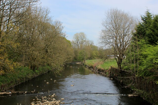
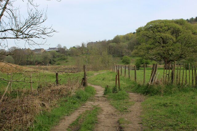
Bill Jim Wood is a forest located in the county of Lancashire, England. Situated in the northwestern region of the country, Lancashire is known for its picturesque landscapes and natural beauty, and Bill Jim Wood is no exception. Covering an area of approximately 200 acres, this woodland is a haven for nature lovers and outdoor enthusiasts.
The forest is home to a diverse range of flora and fauna, with various species of trees such as oak, birch, and pine dominating the landscape. These trees provide a habitat for a variety of wildlife, including birds, mammals, and insects. Visitors to the woodland can expect to encounter creatures such as deer, foxes, rabbits, and a wide array of bird species.
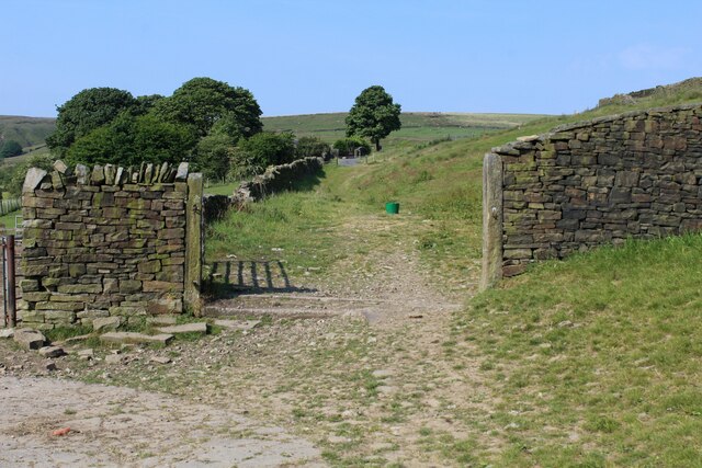
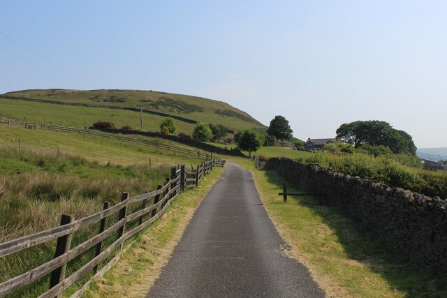
Bill Jim Wood offers numerous recreational activities for visitors to enjoy. There are several walking and hiking trails that wind through the forest, allowing visitors to explore the natural beauty at their own pace. These trails are suitable for all levels of fitness, making it an ideal destination for families and individuals alike. Additionally, the woodland provides opportunities for birdwatching, photography, and picnicking.
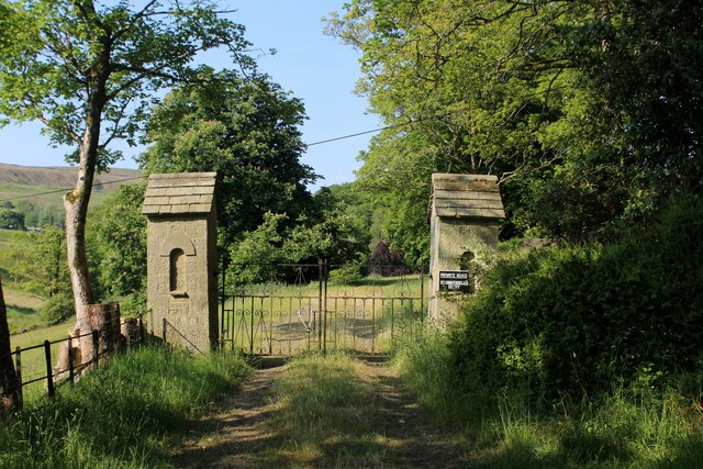
The forest is well-maintained, with designated areas for car parking and facilities such as picnic benches and waste bins. Local authorities regularly carry out conservation efforts to preserve the natural ecosystem and protect the wildlife that inhabits the area.
In conclusion, Bill Jim Wood in Lancashire is a stunning forest offering a tranquil escape from the hustle and bustle of city life. With its diverse range of flora and fauna, well-maintained trails, and recreational activities, it is a must-visit destination for nature enthusiasts and those seeking solace in the beauty of the great outdoors.
If you have any feedback on the listing, please let us know in the comments section below.
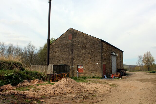
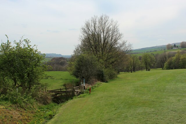
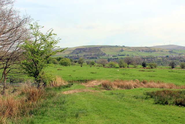
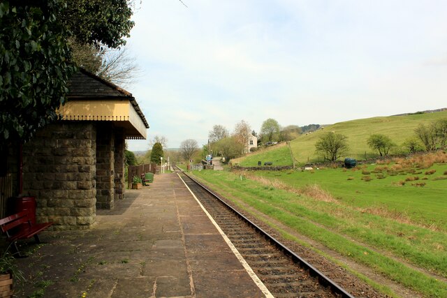
Bill Jim Wood Images
Images are sourced within 2km of 53.675487/-2.3213968 or Grid Reference SD7819. Thanks to Geograph Open Source API. All images are credited.


Bill Jim Wood is located at Grid Ref: SD7819 (Lat: 53.675487, Lng: -2.3213968)
Administrative County: Lancashire
District: Rossendale
Police Authority: Lancashire
What 3 Words
///parts.survey.global. Near Edenfield, Lancashire
Nearby Locations
Related Wikis
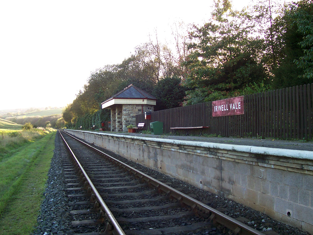
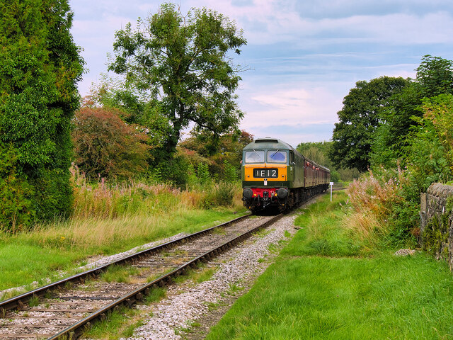
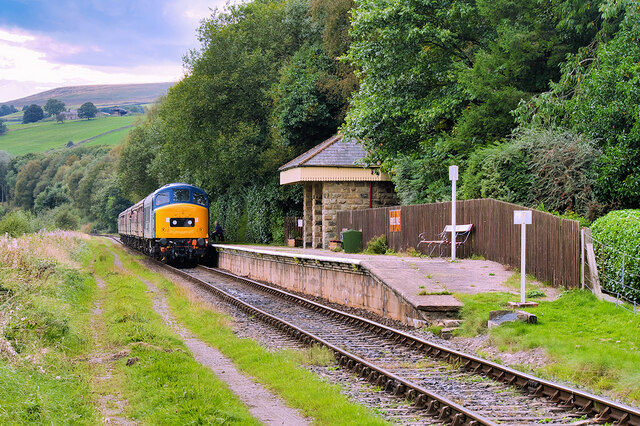
Irwell Vale railway station
Irwell Vale railway station is a station built as part of the East Lancashire Railway. It serves the small village of Irwell Vale in Rossendale, Lancashire...

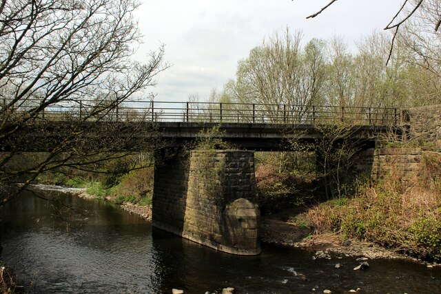
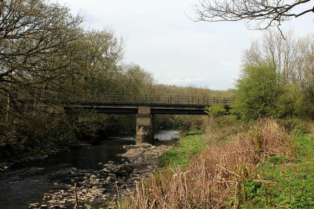
River Ogden
The River Ogden is a minor river in Lancashire, England. It is approximately 4.4 miles (7.1 km) long and has a catchment area of 9.77 square miles (25...

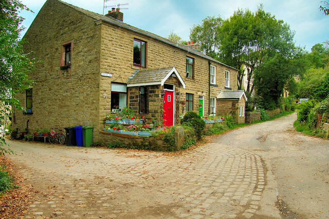
Irwell Vale
Irwell Vale is a village within the Rossendale borough of Lancashire, in North West England. which lies at the confluence of the River Ogden and River...

Ewood Bridge and Edenfield railway station
Ewood Bridge and Edenfield railway station served the village of Edenfield, Rossendale, Lancashire. == History == On 25 September 1916, a 179-metre (587...
Related Videos

HIKING IN STRONG WINDS VLOG || CLOUDY DAY IN LANCASHIRE || #4k #youtuber #adventure
Come along with me to hike in rain! The real side of Lancashire, MUSBUR TOR in HELMSHORE.

Cribden Hill and The Halo Panopticon, Rossendale, Lancashire
Cribden Hill is part of Cribden Moors and not far from Haslingden, off the A680. Whilst the walk starts behind Winfields Outdoors ...

Haslingden Grane Walk - One Of Lancashire's Hidden Gems
Haslingden Grane Walk - A circular trail looping around the gorgeous countryside of Rossendale. Find out more here: ...

Musbury Tor Hill in Rossendale with Lewis Carroll's Alice - hiking with a difference
4.5 mile ( 706 ft)circular hike in Rossendale, Lancashire, England up Musbury Tor Hill from the village of Helmshore.
Nearby Amenities
Located within 500m of 53.675487,-2.3213968Have you been to Bill Jim Wood?
Leave your review of Bill Jim Wood below (or comments, questions and feedback).