Brook Wood

Wood, Forest in Worcestershire Malvern Hills

England

Brook Wood

Leigh Sinton - converted oast house The entrance to the village and a tastefully converted oast house that retains a cowl. There are quite a few visible on the road between Worcester and Hereford but i don't know if any are unconverted.
Leigh Sinton - converted oast house Credit: Chris Allen

Brook Wood is a picturesque forest located in Worcestershire, England. Covering an area of approximately 100 acres, it is a popular destination for nature enthusiasts and hikers alike. The wood is situated on the outskirts of the village of Brook, and is easily accessible by both car and public transportation.

The woodland is known for its diverse range of flora and fauna, making it a haven for wildlife. Visitors can expect to encounter a variety of trees, including oak, beech, and birch, which provide a stunning backdrop throughout the year. The forest floor is adorned with a vibrant carpet of wildflowers, adding to the area's beauty.

Several walking trails meander through the wood, offering visitors the opportunity to explore its natural wonders. These paths range in difficulty and length, catering to both casual strollers and more experienced hikers. Along the way, there are numerous benches and picnic areas, inviting visitors to take a break and immerse themselves in the peaceful surroundings.

Brook Wood is also home to a small brook, which meanders through the forest, adding to its charm. The gentle sound of running water enhances the tranquil atmosphere, making it an ideal spot for relaxation and contemplation.

The wood is open to the public throughout the year, and there are no admission fees. However, visitors are encouraged to respect the natural environment and follow any guidelines or restrictions in place to ensure the preservation of this precious ecosystem.

Overall, Brook Wood is a delightful destination for those seeking a peaceful escape into nature. With its breathtaking scenery and abundant wildlife, it offers a truly enriching experience for all who visit.

If you have any feedback on the listing, please let us know in the comments section below.
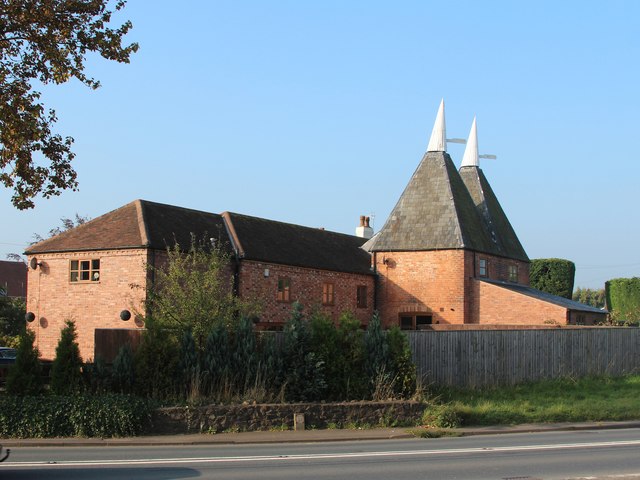
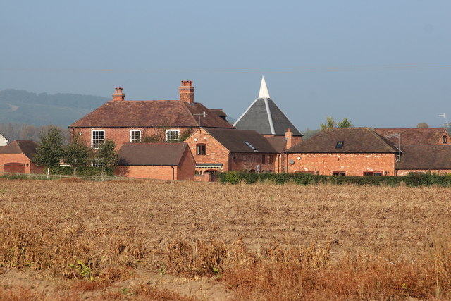
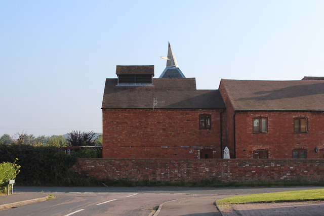
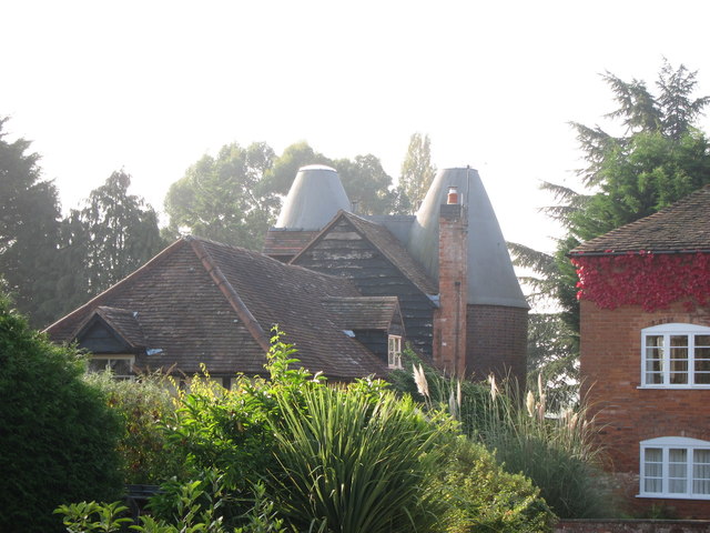
Brook Wood Images

Images are sourced within 2km of 52.15025/-2.3108615 or Grid Reference SO7850. Thanks to Geograph Open Source API. All images are credited.

Leigh Sinton - converted oast house The entrance to the village and a tastefully converted oast house that retains a cowl. There are quite a few visible on the road between Worcester and Hereford but i don't know if any are unconverted.
Leigh Sinton - converted oast house
The entrance to the village and a tastefully converted oast house that retains a cowl. There are quite a few visible on the road between Worcester and Hereford but i don't know if any are unconverted.
Leigh Sinton - a pair of converted oast houses There are at least three in the village. The cowls designed to turn with the prevailing wind are a nice feature and add to the charm of these. There are some horrid conversions about.
Leigh Sinton - a pair of converted oast houses
There are at least three in the village. The cowls designed to turn with the prevailing wind are a nice feature and add to the charm of these. There are some horrid conversions about.
A4103 heading through Leigh Sinton
Post Office and shop in Leigh Sinton
View to Gilberts Farm Twin square kiln oast house.
View to Gilberts Farm
Twin square kiln oast house.
Oast House at Leigh Sinton Farm, Leigh Sinton Twin square kiln oast house.
Oast House at Leigh Sinton Farm, Leigh Sinton
Twin square kiln oast house.
Cowls at Leigh Sinton Farm Oast Twin square kiln oast house.
Cowls at Leigh Sinton Farm Oast
Twin square kiln oast house.
Oast House at Upper House Farm, Sherridge Road, Leigh Sinton Single square kiln oast house.
Oast House at Upper House Farm, Sherridge Road, Leigh Sinton
Single square kiln oast house.
Oast House at Upper House Farm, Sherridge Road, Leigh Sinton Single square kiln oast house.
Oast House at Upper House Farm, Sherridge Road, Leigh Sinton
Single square kiln oast house.
The Oast House, Leigh Sinton Twin round kiln oast house.
The Oast House, Leigh Sinton
Twin round kiln oast house.
Oast House, Stocks Lane, Leigh Sinton Two square kiln oast house.
Oast House, Stocks Lane, Leigh Sinton
Two square kiln oast house.
Oast House, Stocks Lane, Leigh Sinton Two square kiln oast house.
Oast House, Stocks Lane, Leigh Sinton
Two square kiln oast house.
Oast House, Stocks Lane, Leigh Sinton Two square kiln oast house.
Oast House, Stocks Lane, Leigh Sinton
Two square kiln oast house.
Oast House, Stocks Lane, Leigh Sinton
Hop Pole Green
Hop Pole Green
Swallows near Brook Farm
Field north of Leigh Sinton
The Old School House, Leigh Sinton
Show me another place!

Brook Wood is located at Grid Ref: SO7850 (Lat: 52.15025, Lng: -2.3108615)

Administrative County: Worcestershire

District: Malvern Hills

Police Authority: West Mercia

What 3 Words

///mammoths.lifts.shield. Near Great Malvern, Worcestershire

Nearby Locations

Leigh Sinton Brook Wood

Related Wikis

West Worcestershire (UK Parliament constituency)

West Worcestershire is a constituency in Worcestershire represented in the House of Commons of the UK Parliament since 2010 by Harriett Baldwin, a Conservative...

Newland Halt railway station

Newland Halt railway station was a station in Newland, Worcestershire, England. The station was opened on 18 March 1929 and closed on 5 April 1965. �...
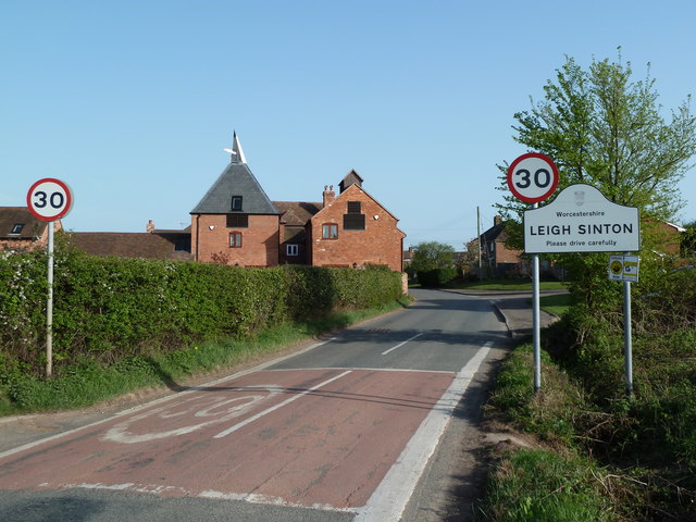
Leigh Sinton

Leigh Sinton is a village in the Malvern Hills district of the county of Worcestershire, England, and one of the constituent places of the civil parish...

Bransford

Bransford is a village and civil parish in the Malvern Hills district of the county of Worcestershire, England. It is situated close to the River Teme...

Newland, Worcestershire

Newland is a village and civil parish on the north-eastern edge of Malvern Link, Worcestershire, England, on the A449 road. The village lies on the edge...

Dyson Perrins Church of England Academy

Dyson Perrins CofE Academy is a co-educational secondary school in Malvern, Worcestershire, England. It is named after its benefactor Charles William Dyson...

Church of St Matthias, Malvern Link

The Church of St Matthias is an Anglican place of worship in Malvern Link, England. Prior to the establishment of this church, the residents of Malvern...

Crowcroft

Crowcroft is a small hamlet just outside Leigh Sinton in Worcestershire, England. The main industry for the area is fruit growing, particularly for local...

Nearby Amenities

Located within 500m of 52.15025,-2.3108615
Ford: yes
Source: OS_OpenData_StreetView
Lat/Long: 52.1522353/-2.3123721
Barrier: stile
Lat/Long: 52.153916/-2.3103918
Barrier: kissing_gate
Lat/Long: 52.1540552/-2.3101491
Brookend Cottages
Power: pole
Transformer: distribution
Voltage Primary: 11000
Lat/Long: 52.1542937/-2.3099506
Tyler
Power: pole
Transformer: distribution
Voltage Primary: 11000
Lat/Long: 52.154218/-2.310479
Power: pole
Lat/Long: 52.1541061/-2.3112823
Power: pole
Lat/Long: 52.1544961/-2.3124142
Power: pole
Lat/Long: 52.1539942/-2.3120843
Power: pole
Lat/Long: 52.1538766/-2.3129238
Power: pole
Lat/Long: 52.1537572/-2.3137875
Power: pole
Lat/Long: 52.1536421/-2.3146082
Power: pole
Lat/Long: 52.1529813/-2.314281
Brook Farm
Power: pole
Transformer: distribution
Voltage Primary: 11000
Lat/Long: 52.1526419/-2.3132457
Power: pole
Lat/Long: 52.1517816/-2.3137144
Power: pole
Lat/Long: 52.1523732/-2.3140074
Shernacre
Power: pole
Transformer: distribution
Voltage Primary: 11000
Lat/Long: 52.149429/-2.3170705
Power: pole
Lat/Long: 52.150567/-2.316644
Power: pole
Lat/Long: 52.1511751/-2.3172221
Power: pole
Lat/Long: 52.1499721/-2.3160727
Power: pole
Lat/Long: 52.1505547/-2.3149864
Power: pole
Lat/Long: 52.1509464/-2.3142461
Power: pole
Lat/Long: 52.1513397/-2.3135059
Power: pole
Lat/Long: 52.1506962/-2.3131974
Power: pole
Lat/Long: 52.150042/-2.3128648
Power: pole
Lat/Long: 52.1492306/-2.3124826
Power: pole
Lat/Long: 52.1486966/-2.3119757
Power: pole
Lat/Long: 52.1481617/-2.3114647
Power: pole
Lat/Long: 52.1476136/-2.3109578
Power: pole
Lat/Long: 52.1470416/-2.3104106
North Wood
Power: pole
Transformer: distribution
Voltage Primary: 11000
Lat/Long: 52.1477494/-2.304961
Power: pole
Lat/Long: 52.1471128/-2.3060949
Power: pole
Lat/Long: 52.14668/-2.3068667
Power: pole
Lat/Long: 52.1465273/-2.3084284
Power: pole
Lat/Long: 52.1463936/-2.3098131
The data included in this document is from www.openstreetmap.org. The data is made available under ODbL.

Have you been to Brook Wood?

Leave your review of Brook Wood below (or comments, questions and feedback).