Castle Clough Wood
Wood, Forest in Lancashire Burnley
England
Castle Clough Wood

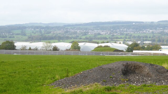
Castle Clough Wood is a picturesque woodland located in the county of Lancashire, England. Spanning over a vast area, this woodland is a popular destination for nature enthusiasts and outdoor adventurers alike. Situated near the town of Bacup, Castle Clough Wood offers visitors a tranquil and serene environment to explore.
The wood is characterized by its dense foliage, consisting mainly of native trees such as oak, beech, and birch. These towering trees provide a canopy that creates a shaded and cool atmosphere, perfect for leisurely walks and hikes. Additionally, the forest floor is adorned with an array of wildflowers, adding a burst of color to the landscape.
The main attraction of Castle Clough Wood is the ancient ruins of Cloughfold Castle, which dates back to the medieval period. Visitors can explore the remains of this historic fortress and imagine the grandeur it once possessed. The castle overlooks the wood, offering breathtaking views of the surrounding countryside.
The wood is home to a diverse range of wildlife, including deer, foxes, and various bird species. Birdwatchers will be delighted to spot common woodland birds such as woodpeckers, owls, and thrushes. Nature lovers can also find a variety of plant species, including rare and endangered ones.
Castle Clough Wood is well-maintained with clearly marked trails and picnic areas, making it an ideal spot for family outings and picnics. Whether it's for a peaceful stroll, a historical adventure, or a chance to immerse oneself in nature, Castle Clough Wood is a must-visit destination for anyone seeking a slice of Lancashire's natural beauty.
If you have any feedback on the listing, please let us know in the comments section below.
Castle Clough Wood Images
Images are sourced within 2km of 53.777477/-2.3239818 or Grid Reference SD7831. Thanks to Geograph Open Source API. All images are credited.


Castle Clough Wood is located at Grid Ref: SD7831 (Lat: 53.777477, Lng: -2.3239818)
Administrative County: Lancashire
District: Burnley
Police Authority: Lancashire
What 3 Words
///means.reach.given. Near Hapton, Lancashire
Nearby Locations
Related Wikis

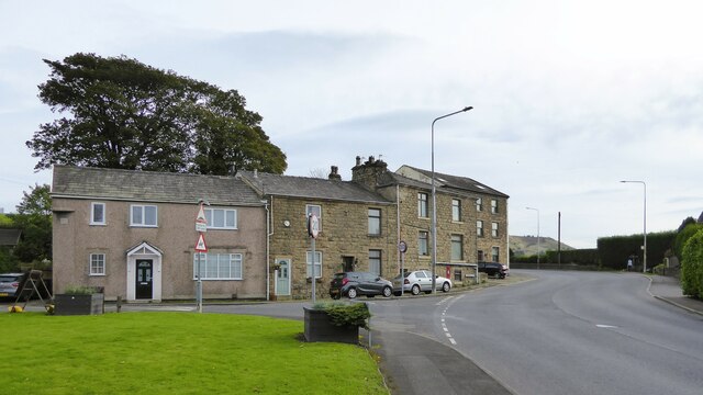
Hapton, Lancashire
Hapton is a village and civil parish in the Borough of Burnley in Lancashire, England, 3 miles (4.8 km) west of Burnley, with a railway station on the...

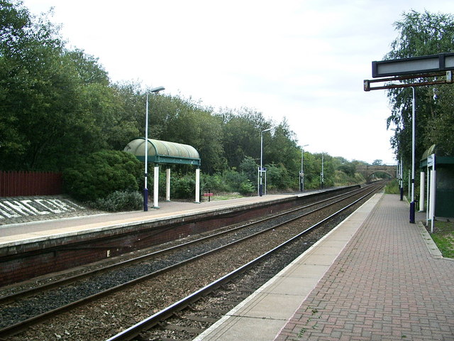
Hapton railway station
Hapton railway station serves the village of Hapton 3 miles (5 km) west of Burnley Central railway station on the East Lancashire Line operated by Northern...

Huncoat Power Station
Huncoat Power Station was located in Huncoat near Accrington, Lancashire. It was a 150 MW, coal-fired, electricity generating station in operation from...
Shuttleworth Hall
Shuttleworth Hall is a 17th-century manor house (and later farmhouse) in the civil parish of Hapton in Lancashire, England. It is protected as a Grade...

Altham, Lancashire
Altham is a village and civil parish in the Borough of Hyndburn, in Lancashire, England. The village is 4.3 miles (6.9 km) west of Burnley, 2.9 miles...

Huncoat
Huncoat is a village in Lancashire, England; situated in the North West. It is located to the east of Accrington. It is a ward of Hyndburn where the population...
Huncoat railway station
Huncoat railway station is a railway station which serves the village of Huncoat, between Accrington and Burnley in Lancashire, England. The station is...

Padiham Power Station
Padiham Power Station was a coal-fired power station in Padiham, east Lancashire, England, which began operation in 1926 and generated power from 1927...
Nearby Amenities
Located within 500m of 53.777477,-2.3239818Have you been to Castle Clough Wood?
Leave your review of Castle Clough Wood below (or comments, questions and feedback).