Miry Wood

Wood, Forest in Gloucestershire Stroud

England

Miry Wood

Old Milestone, France Lane In the parish of Hawkesbury, in the village of Hawkesbury Upton. NW side of road, embedded in the earth bank. Mileage is measured to Wotton under Edge. Rivet Benchmark on top, 176.7 m ASL.

Inscription (was): Wotton 5

Milestone Society ID: GL_WEHU05
Old Milestone, France Lane Credit: Mr Red

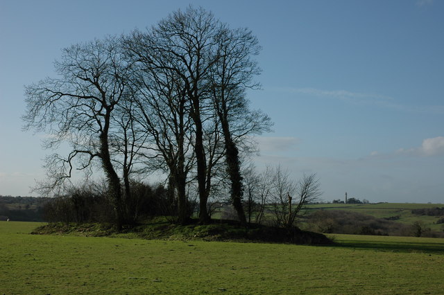
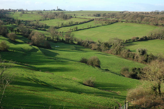
Miry Wood is a picturesque forest located in Gloucestershire, England. Spread across an area of approximately 500 acres, the wood is nestled amidst the rolling hills and lush greenery of the county. Situated near the village of Blakeney, Miry Wood is easily accessible and attracts visitors from both near and far.

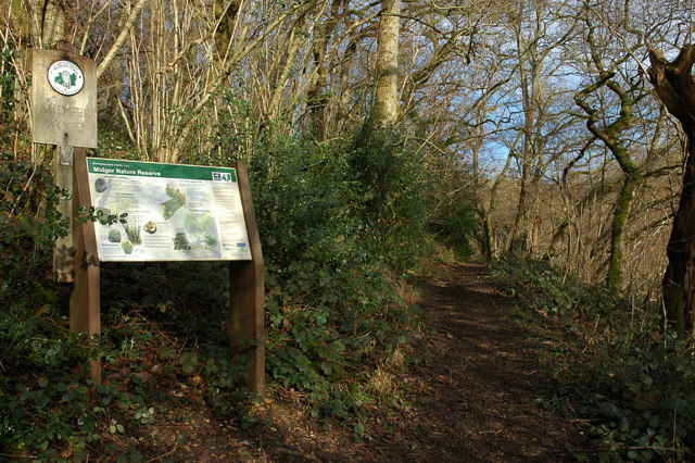
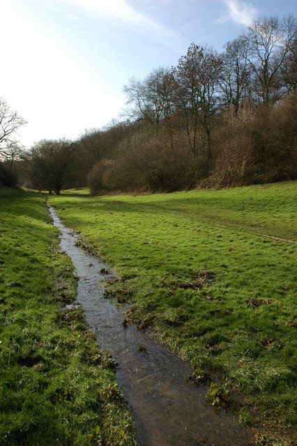
The forest is predominantly composed of various species of deciduous trees, including oak, beech, and ash. The dense foliage creates a serene and tranquil atmosphere, making it a popular spot for nature enthusiasts, walkers, and photographers. The forest floor is covered with a thick carpet of ferns, bluebells, and wildflowers, adding to its natural charm.

Miry Wood is home to a diverse range of wildlife, including deer, foxes, badgers, and an array of bird species. Birdwatchers can spot woodpeckers, owls, and even the occasional buzzard soaring above the treetops. The forest also boasts a small pond, attracting amphibians and insects.

A network of well-maintained walking trails crisscross the wood, allowing visitors to explore its beauty at their own pace. These trails cater to both casual strollers and more adventurous hikers, with options ranging from short, leisurely walks to longer, more challenging routes.

The forest is open to the public year-round, and there are no admission fees. However, visitors are encouraged to adhere to designated paths and respect the natural habitat. Miry Wood offers a peaceful retreat from the hustle and bustle of daily life, providing a haven for nature lovers and an opportunity to immerse oneself in the beauty of Gloucestershire's countryside.

If you have any feedback on the listing, please let us know in the comments section below.
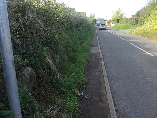
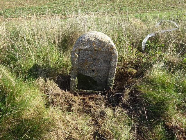
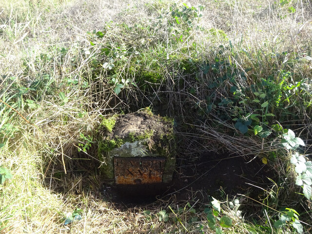
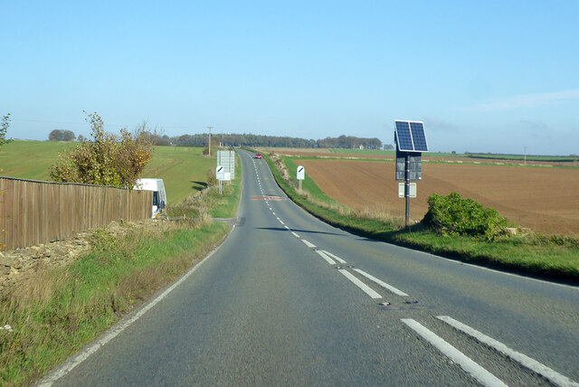
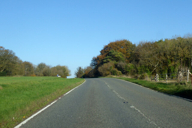
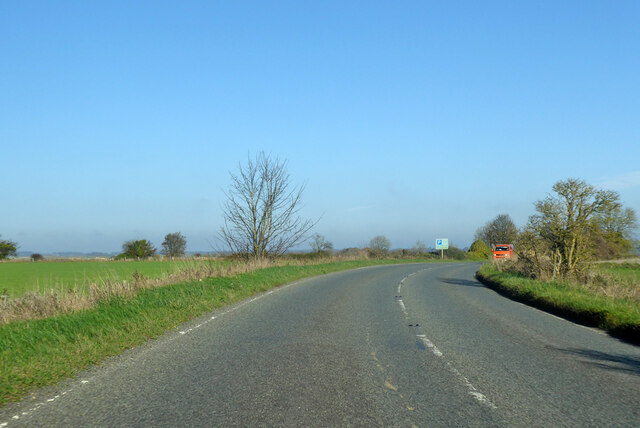
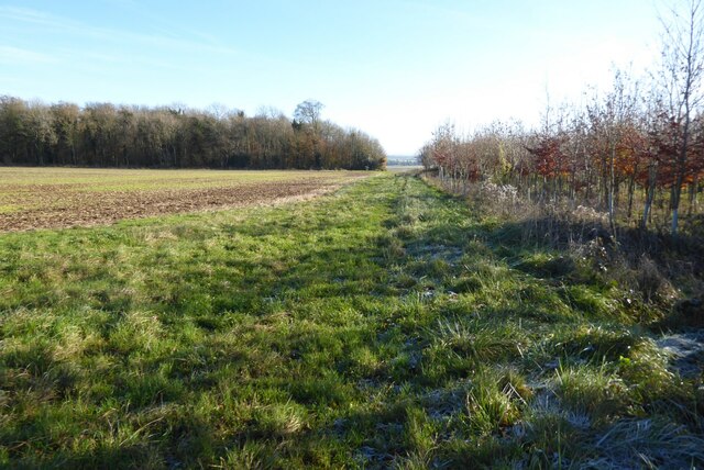
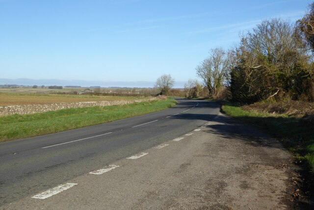
Miry Wood Images

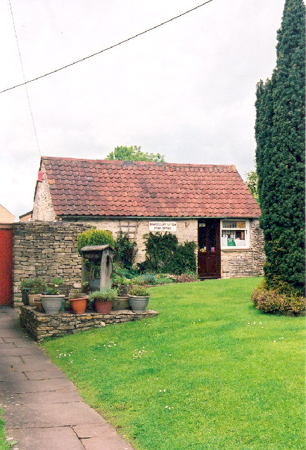
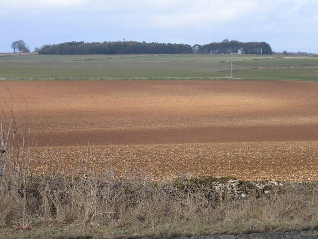
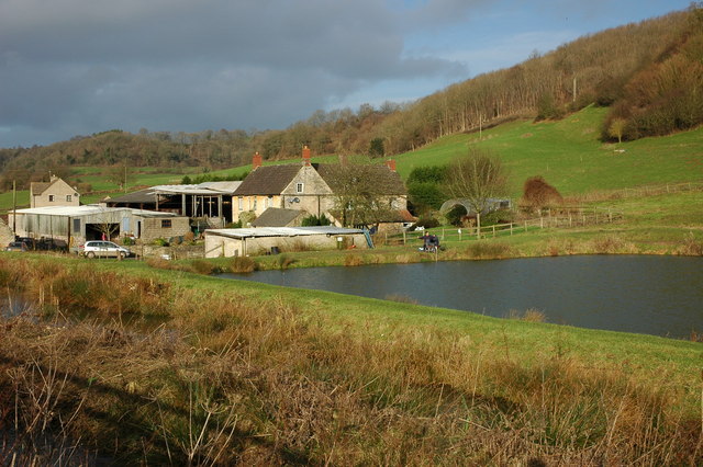
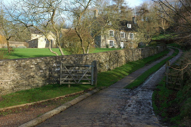
Images are sourced within 2km of 51.593025/-2.3086423 or Grid Reference ST7888. Thanks to Geograph Open Source API. All images are credited.

Old Milestone, France Lane In the parish of Hawkesbury, in the village of Hawkesbury Upton. NW side of road, embedded in the earth bank. Mileage is measured to Wotton under Edge. Rivet Benchmark on top, 176.7 m ASL.

Inscription (was): Wotton 5

Milestone Society ID: GL_WEHU05
Old Milestone, France Lane
In the parish of Hawkesbury, in the village of Hawkesbury Upton. NW side of road, embedded in the earth bank. Mileage is measured to Wotton under Edge. Rivet Benchmark on top, 176.7 m ASL. Inscription (was): Wotton 5 Milestone Society ID: GL_WEHU05
Old Milestone, A46 Just North of Dunkirk, and the A433 junction. On the Eastern verge. Cut Benchmark on the SE face representing 161.2 m ASL.

Inscription (was): Gloucester 23 Bath 15

Milestone Society National ID: GL_BAGL15
Old Milestone, A46
Just North of Dunkirk, and the A433 junction. On the Eastern verge. Cut Benchmark on the SE face representing 161.2 m ASL. Inscription (was): Gloucester 23 Bath 15 Milestone Society National ID: GL_BAGL15
Old Milestone, A46 In the parish of Hawkesbury, just North of Starveall. On the Eastern verge, buried up to half of the existing original plate. Rivet Benchmark representing 189.7 m ASL. 

Inscription: Bath / XVI / Glou / XXII

Milestone Society National ID: GL_BAGL16
Old Milestone, A46
In the parish of Hawkesbury, just North of Starveall. On the Eastern verge, buried up to half of the existing original plate. Rivet Benchmark representing 189.7 m ASL. Inscription: Bath / XVI / Glou / XXII Milestone Society National ID: GL_BAGL16
A46 heading north Towards Stroud.
A46 heading north
Towards Stroud.
A46 heading north Towards Stroud.
A46 heading north
Towards Stroud.
A46 heading north Towards Stroud.
A46 heading north
Towards Stroud.
Restricted byway to Oldbury on the Hill This right of way across farmland is just metres to the north of the county boundary between Gloucestershire and South Gloucestershire.
Restricted byway to Oldbury on the Hill
This right of way across farmland is just metres to the north of the county boundary between Gloucestershire and South Gloucestershire.
The A46 near Upper Kilcot
The Post Office, Hawkesbury-Upton, Nr. Yate and Chipping Sodbury, S. Gloucs. The Post Office is located on Back Street on the same side of the street as the village Methodist Chapel.   Prim Curtis, the village postmistress from 1975 to 2005 has confirmed that in the early 1800s the building was originally the village police station, with a cell door and its spy-hole still in evidence at the time of the photograph.  Subsequently, the building was used by a local coal merchant, Mr. Hopkins, for coal storage and on the later initiative and application of Mr. and Mrs. Curtis to the Thornbury Council for approval, the building was converted into the village post office.  Hawkesbury-Upton is a Domesday Book listed village and is close to the Cotswold Way.
The Post Office, Hawkesbury-Upton, Nr. Yate and Chipping Sodbury, S. Gloucs.
The Post Office is located on Back Street on the same side of the street as the village Methodist Chapel. Prim Curtis, the village postmistress from 1975 to 2005 has confirmed that in the early 1800s the building was originally the village police station, with a cell door and its spy-hole still in evidence at the time of the photograph. Subsequently, the building was used by a local coal merchant, Mr. Hopkins, for coal storage and on the later initiative and application of Mr. and Mrs. Curtis to the Thornbury Council for approval, the building was converted into the village post office. Hawkesbury-Upton is a Domesday Book listed village and is close to the Cotswold Way.
The Somerset Monument, near Hawkesbury Upton, South Gloucs. The Somerset Monument was built by Lewis Vulliamy in 1846 in memory of Robert Edward Henry Somerset.  He was a general at the Battle of Waterloo of 1815, and died in 1842.   He was a nephew of the Sixth Duke of Beaufort.   The tower is approximately 100 feet tall and can be seen from the Tyndale Monument at North Nibley to the north-west.  (Reference: "Hawkesbury Conservation Area," South Gloucestershire Council 2008 website:  <span class="nowrap"><a title="www.southglos.gov.uk/NR/" rel="nofollow ugc noopener" href="http://www.southglos.gov.uk/NR/">Link</a><img style="margin-left:2px;" alt="External link" title="External link - shift click to open in new window" src="https://s1.geograph.org.uk/img/external.png" width="10" height="10"/></span> )
The Somerset Monument, near Hawkesbury Upton, South Gloucs.
The Somerset Monument was built by Lewis Vulliamy in 1846 in memory of Robert Edward Henry Somerset. He was a general at the Battle of Waterloo of 1815, and died in 1842. He was a nephew of the Sixth Duke of Beaufort. The tower is approximately 100 feet tall and can be seen from the Tyndale Monument at North Nibley to the north-west. (Reference: "Hawkesbury Conservation Area," South Gloucestershire Council 2008 website: LinkExternal link )
Looking north from layby on A433 near A46 junction The light patch is sunlight
Looking north from layby on A433 near A46 junction
The light patch is sunlight
The Cotswold Way About one mile to the south-west of Alderley the Cotswold Way, following a restricted byway, passes between these coppiced trees.
The Cotswold Way
About one mile to the south-west of Alderley the Cotswold Way, following a restricted byway, passes between these coppiced trees.
Farm at Lower Kilcott Farm with fishing lake at Lower Kilcott.  Viewed from the passing country lane which is the route of both the Cotswold Way and Monarch's Way.
Farm at Lower Kilcott
Farm with fishing lake at Lower Kilcott. Viewed from the passing country lane which is the route of both the Cotswold Way and Monarch's Way.
Upper Kilcott A view of the fine Georgian Upper Kilcott Farmhouse from the passing country road.  The house is Grade II listed, see: <span class="nowrap"><a title="https://historicengland.org.uk/listing/the-list/list-entry/1155957" rel="nofollow ugc noopener" href="https://historicengland.org.uk/listing/the-list/list-entry/1155957">Link</a><img style="margin-left:2px;" alt="External link" title="External link - shift click to open in new window" src="https://s1.geograph.org.uk/img/external.png" width="10" height="10"/></span>
Upper Kilcott
A view of the fine Georgian Upper Kilcott Farmhouse from the passing country road. The house is Grade II listed, see: LinkExternal link
Midger Nature Reserve near Lower Kilcott In the care of Gloucestershire Wildlife Trust Midger Wood is an SSSI.
Midger Nature Reserve near Lower Kilcott
In the care of Gloucestershire Wildlife Trust Midger Wood is an SSSI.
Long Barrow near Upper Kilcott This Long barrow is situated less than half a mile south of Upper Kilcott, the Somerset Monument at Hawkesbury Upton can be seen on the horizon.
Long Barrow near Upper Kilcott
This Long barrow is situated less than half a mile south of Upper Kilcott, the Somerset Monument at Hawkesbury Upton can be seen on the horizon.
Small Coombe, Lower Kilcott Valley between Stickstey Wood and Bangel Wood
Small Coombe, Lower Kilcott
Valley between Stickstey Wood and Bangel Wood
Upton Coombe, Hawkesbury Upton Upton Coombe is situated to the north of Hawkesbury Upton. The Somerset Monument can be seen on the horizon.
Upton Coombe, Hawkesbury Upton
Upton Coombe is situated to the north of Hawkesbury Upton. The Somerset Monument can be seen on the horizon.
Show me another place!

Miry Wood is located at Grid Ref: ST7888 (Lat: 51.593025, Lng: -2.3086423)

Administrative County: Gloucestershire

District: Stroud

Police Authority: Gloucestershire

What 3 Words

///stung.yelled.intro. Near Wotton-under-Edge, Gloucestershire

Related Wikis

Upton Coombe

Upton Coombe (grid reference ST789877) is a 7.4 hectare biological Site of Special Scientific Interest near the village of Hawkesbury Upton, South Gloucestershire...

Hawkesbury Upton

Hawkesbury Upton is a village in South Gloucestershire, England, east of the much smaller Hawkesbury. It lies north of Horton, east of Dunkirk and south...

Midger

Midger (grid reference ST797895) is a 65.7-hectare (162-acre) biological Site of Special Scientific Interest straddling the border of Gloucestershire and...

Lord Robert Somerset

General Lord Robert Edward Henry Somerset (19 December 1776 – 1 September 1842) was a British soldier who fought during the Peninsular War and the War...

Hawkesbury, Gloucestershire

Hawkesbury is a hamlet and civil parish in the area of the South Gloucestershire unitary authority in England. The hamlet, consisting of a few cottages...

Somerset Monument

The Somerset Monument in Hawkesbury Upton, Gloucestershire, England was built in 1846 to commemorate Lord Robert Edward Somerset. It is a Grade II* listed...

Dunkirk, Gloucestershire

Dunkirk is a hamlet in the rural north of South Gloucestershire, near the Gloucestershire border, in the parish of Hawkesbury. The hamlet is on an important...

Hawkesbury Quarry

Hawkesbury Quarry (grid reference ST771873) is a 0.25-hectare (0.62-acre) geological Site of Special Scientific Interest near the village of Hawkesbury...

Have you been to Miry Wood?

Leave your review of Miry Wood below (or comments, questions and feedback).