Picmoor Wood

Wood, Forest in Staffordshire South Staffordshire

England

Picmoor Wood

View east of the B5314 at Plough Bank The large building in the middle distance is a centre for the distribution of agricultural produce.
View east of the B5314 at Plough Bank Credit: Christopher Hilton

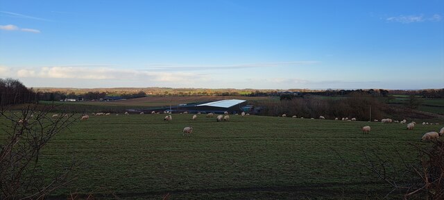
Picmoor Wood is a picturesque woodland located in Staffordshire, England. Covering an area of approximately 100 acres, this enchanting forest is a haven for nature lovers and outdoor enthusiasts alike. It is nestled within the stunning Staffordshire Moorlands and offers visitors a tranquil and serene escape from the hustle and bustle of everyday life.

The wood is primarily composed of native broadleaved trees, including oak, beech, and ash, which create a diverse and thriving ecosystem. The dense canopy provides a sheltered habitat for a variety of wildlife, including birds, mammals, and insects. Birdwatchers can spot species such as woodpeckers, thrushes, and owls, while lucky visitors may even catch a glimpse of a red fox or a roe deer.

Several walking trails wind their way through Picmoor Wood, providing visitors with the opportunity to explore its beauty at their own pace. These paths offer stunning views of the surrounding countryside and are suitable for all ages and abilities. The wood is also home to a small pond, attracting a range of aquatic species and providing a peaceful spot for contemplation.

Picmoor Wood is a popular destination for outdoor activities, such as picnicking, photography, and nature walks. The wood is open to the public year-round and is managed by a local conservation group, ensuring its preservation for future generations to enjoy. With its natural beauty and diverse wildlife, Picmoor Wood is a hidden gem in the heart of Staffordshire, offering a peaceful retreat for nature enthusiasts and a chance to reconnect with the great outdoors.

If you have any feedback on the listing, please let us know in the comments section below.
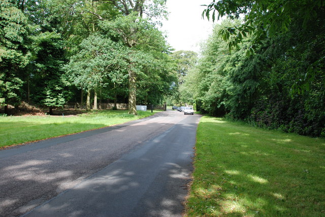
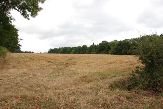
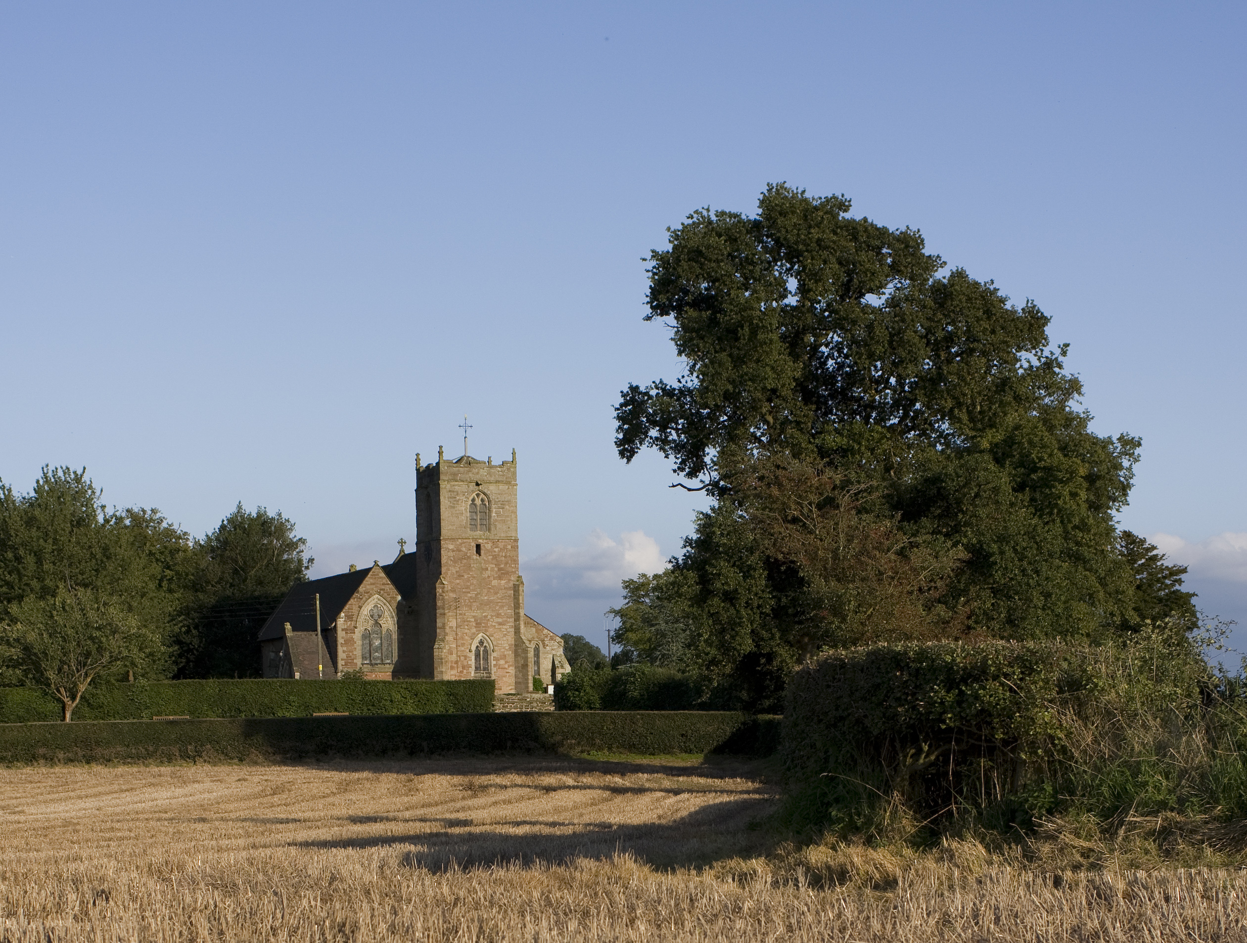
Picmoor Wood Images

Images are sourced within 2km of 52.702475/-2.3171269 or Grid Reference SJ7811. Thanks to Geograph Open Source API. All images are credited.

View east of the B5314 at Plough Bank The large building in the middle distance is a centre for the distribution of agricultural produce.
View east of the B5314 at Plough Bank
The large building in the middle distance is a centre for the distribution of agricultural produce.
Old Milestone by B5314, New House Farm The Milestone is located at crossroads.  Parish of Sheriffhales (Bridgnorth District). Cast iron post, Salop iron T-post design, erected by the County Council in the 19/20th Century. An earlier photograph can be found here: <a title="https://www.geograph.org.uk/photo/6098953" href="https://www.geograph.org.uk/photo/6098953">Link</a> 

Inscription reads:-  
TO / NEWPORT / 5 MILES : : TO / IVETSEY / BANK / 3 MILES 

Milestone Society National ID: SA_NPIV05
Old Milestone by B5314, New House Farm
The Milestone is located at crossroads.  Parish of Sheriffhales (Bridgnorth District). Cast iron post, Salop iron T-post design, erected by the County Council in the 19/20th Century. An earlier photograph can be found here: Link  Inscription reads:- TO / NEWPORT / 5 MILES : : TO / IVETSEY / BANK / 3 MILES Milestone Society National ID: SA_NPIV05
Shrewsbury Lodge to Weston Park Located just inside the entranceway at <a href="https://www.geograph.org.uk/photo/4898823">SJ7910 : Shrewsbury Gate, Weston Park</a>, the lodge was built in the 18th century and attracted its Grade II listing <span class="nowrap"><a title="https://britishlistedbuildings.co.uk/101039233-shrewsbury-lodge-to-weston-park-blymhill-and-weston-under-lizard" rel="nofollow ugc noopener" href="https://britishlistedbuildings.co.uk/101039233-shrewsbury-lodge-to-weston-park-blymhill-and-weston-under-lizard">Link</a><img style="margin-left:2px;" alt="External link" title="External link - shift click to open in new window" src="https://s1.geograph.org.uk/img/external.png" width="10" height="10"/></span> & <span class="nowrap"><a title="https://historicengland.org.uk/listing/the-list/list-entry/1039233" rel="nofollow ugc noopener" href="https://historicengland.org.uk/listing/the-list/list-entry/1039233">Link</a><img style="margin-left:2px;" alt="External link" title="External link - shift click to open in new window" src="https://s1.geograph.org.uk/img/external.png" width="10" height="10"/></span> in 1953.
Shrewsbury Lodge to Weston Park
Located just inside the entranceway at SJ7910 : Shrewsbury Gate, Weston Park, the lodge was built in the 18th century and attracted its Grade II listing LinkExternal link & LinkExternal link in 1953.
Cottages on the Weston Park Estate The road is the A5, Watling Street.
Cottages on the Weston Park Estate
The road is the A5, Watling Street.
Camellias in the glasshouse The glasshouse was built in 1935.
Camellias in the glasshouse
The glasshouse was built in 1935.
Pink Camellia Plants in the glasshouse.
Pink Camellia
Plants in the glasshouse.
Sandstone wall Near Pendrill's Cave in the grounds of Weston Park
Sandstone wall
Near Pendrill's Cave in the grounds of Weston Park
Information about Pendrill's Cave Cave or Grotto. Late C18 or early C19. Rock faced sandstone, excavated
and vaulted approximately 2 m. high and 3 m. deep with facing wall to excavation.
Said to be the occasional residence of Pendrill, a reputed hermit, or, at
least, Mendicant. Picturesque garden feature of Weston Park.
Information about Pendrill's Cave
Cave or Grotto. Late C18 or early C19. Rock faced sandstone, excavated and vaulted approximately 2 m. high and 3 m. deep with facing wall to excavation. Said to be the occasional residence of Pendrill, a reputed hermit, or, at least, Mendicant. Picturesque garden feature of Weston Park.
Pendrill's Cave Inside the cave are traces of mineral and shells, suggesting that the cave was a grotto of some sort, a popular garden feature during the late eighteenth century. The rear of the cave is hollowed from the sandstone that lies beneath the Park, whereas the front section is made up of a random rubble rock construction. At the entrance to the cave there is evidence of iron bars having formerly closed off the entrance, possibly being the remains of a gate.
Pendrill's Cave
Inside the cave are traces of mineral and shells, suggesting that the cave was a grotto of some sort, a popular garden feature during the late eighteenth century. The rear of the cave is hollowed from the sandstone that lies beneath the Park, whereas the front section is made up of a random rubble rock construction. At the entrance to the cave there is evidence of iron bars having formerly closed off the entrance, possibly being the remains of a gate.
Close up of Pendrill's Cave Hermits and hermitages were popular features on country estates like Weston in the eighteenth century.
Close up of Pendrill's Cave
Hermits and hermitages were popular features on country estates like Weston in the eighteenth century.
Chatwell Park Farm Set well back from the road, Chatwell Park Farm grows a wide variety of crops which are harvested by a business called PDM, whose trucks are regularly seen on the lanes in this area.
Chatwell Park Farm
Set well back from the road, Chatwell Park Farm grows a wide variety of crops which are harvested by a business called PDM, whose trucks are regularly seen on the lanes in this area.
Weston Park Looking back to Weston Park entrance gate and A5
Weston Park
Looking back to Weston Park entrance gate and A5
Red Brick Barn Most farm buildings in this area are made from red brick.
Red Brick Barn
Most farm buildings in this area are made from red brick.
Red Brick Storage Barn on T Junction
Narrow Country Lane This is a very narrow lane, that turns sharply to the left behind this very nice old cottage.
Narrow Country Lane
This is a very narrow lane, that turns sharply to the left behind this very nice old cottage.
Past Houses to Road Junction Country road leading down to the B5314 at Merry Hill.
Past Houses to Road Junction
Country road leading down to the B5314 at Merry Hill.
Caravan in Field Near White Sitch
Field on the side of the B5314 Looking in the direction of Weston Heath, with the White Sitch on the right.
Field on the side of the B5314
Looking in the direction of Weston Heath, with the White Sitch on the right.
Show me another place!

Picmoor Wood is located at Grid Ref: SJ7811 (Lat: 52.702475, Lng: -2.3171269)

Administrative County: Staffordshire

District: South Staffordshire

Police Authority: Staffordshire

What 3 Words

///indicate.lordship.sinkhole. Near Woodcote, Shropshire

Nearby Locations

Picmoor Wood

Related Wikis

White Sitch

White Sitch is a 19th Century designed landscape by John Webb containing a picturesque reservoir in the middle, one mile west of Blymhill in Staffordshire...

Bromsgrove Sandstone

The Bromsgrove Sandstone is a geologic formation of the Sherwood Sandstone Group in England. It preserves fossils and ichnofossils of Chirotherium barthii...

Brineton

Brineton is a hamlet in Staffordshire, England. It is 3/4 mile north of the village of Blymhill, and is within the civil parish of Blymhill and Weston...

St Andrew's Church, Weston-under-Lizard

The Church of St Andrew, Weston-under-Lizard, Staffordshire is a Grade I listed Anglican church. Its origins are medieval, but it was largely rebuilt in...
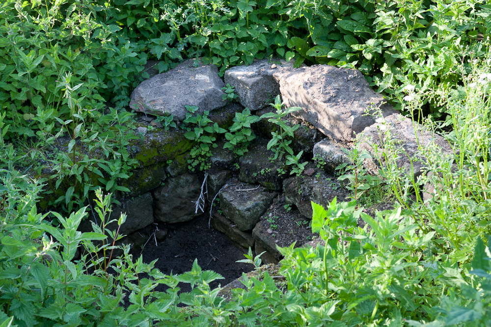
Elder Well

The Elder Well is a holy well located at Blymhill Marsh, close to the village of Blymhill, Staffordshire. It can be found among Elder trees on the north...

Blymhill and Weston-under-Lizard

Blymhill and Weston-under-Lizard is a civil parish in the South Staffordshire district of Staffordshire, near the border with Shropshire in England. According...

Weston Park

Weston Park is a country house in Weston-under-Lizard, Staffordshire, England, set in more than 1,000 acres (400 ha) of park landscaped by Capability Brown...

St Mary's Church, Blymhill

St. Mary's Church, Blymhill is an Anglican church in the village of Blymhill, Staffordshire, England (grid reference SJ808122). The building, which is...

Have you been to Picmoor Wood?

Leave your review of Picmoor Wood below (or comments, questions and feedback).