Ash Copse

Wood, Forest in Gloucestershire Stroud

England

Ash Copse

Frocester Hill Viewpoint Severn Valley view
Frocester Hill Viewpoint Credit: Bill Webb

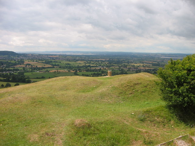
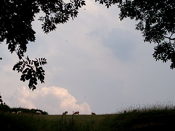
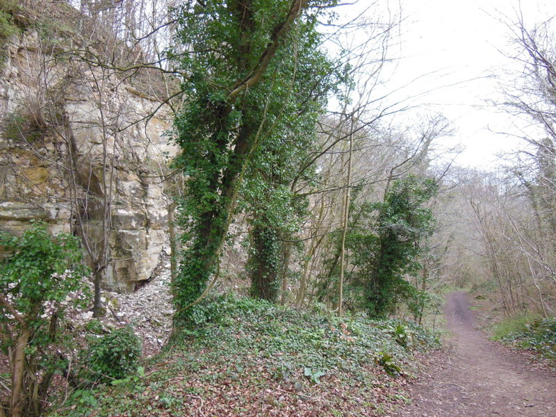
Ash Copse is a picturesque woodland located in the county of Gloucestershire, England. Covering an area of approximately 15 hectares, it is a prominent feature of the local landscape. The copse is primarily made up of ash trees, hence its name, but it also contains a diverse range of other tree species including oak, birch, and beech.

The woodland is known for its rich biodiversity, providing a habitat for a variety of wildlife. It is home to numerous bird species such as woodpeckers, owls, and songbirds, as well as small mammals like squirrels and hedgehogs. The dense undergrowth of the copse also supports a range of insects and invertebrates, adding to its ecological significance.

Ash Copse offers visitors a tranquil and peaceful environment, making it a popular destination for nature enthusiasts and walkers. There are well-maintained footpaths that wind through the woodland, allowing visitors to explore its beauty at their own pace. The copse is particularly stunning in spring, when the trees are in full bloom, and in autumn, when the leaves change color, creating a vibrant and breathtaking display.

Managed by the local council, Ash Copse is well-preserved and cared for. It is regularly monitored and maintained to ensure the health and longevity of the woodland ecosystem. The council also organizes educational programs and guided walks to promote environmental awareness and appreciation for the natural beauty of Ash Copse.

Overall, Ash Copse is a cherished natural asset of Gloucestershire, offering a haven of tranquility and a valuable habitat for wildlife.

If you have any feedback on the listing, please let us know in the comments section below.
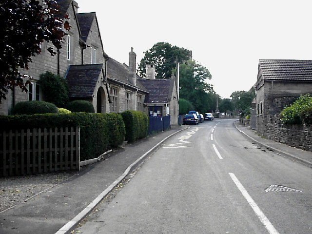
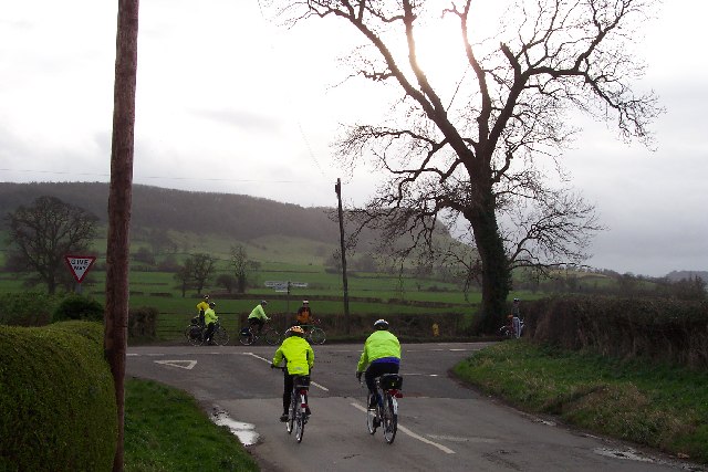
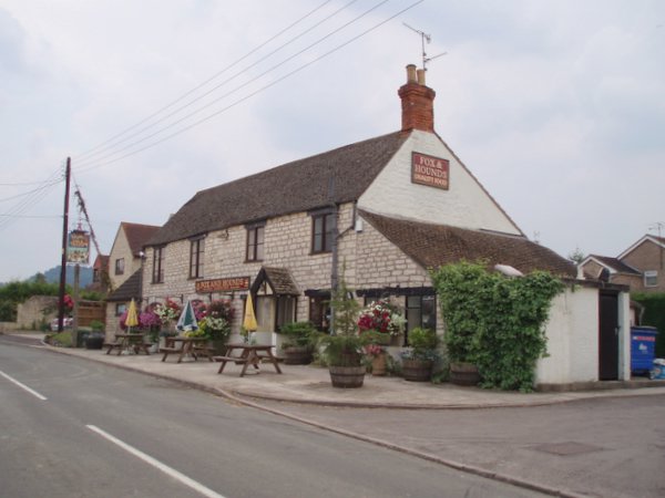
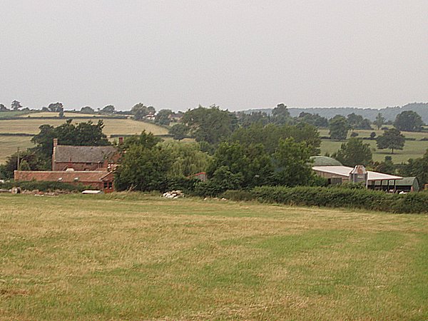
Ash Copse Images

Images are sourced within 2km of 51.717023/-2.3120774 or Grid Reference SO7802. Thanks to Geograph Open Source API. All images are credited.

Frocester Hill Viewpoint Severn Valley view
Frocester Hill Viewpoint
Severn Valley view
View overlooking the Severn Vale from Hill This sort of view is one of the reasons we paraglide.  We can get interesting views of geographical features from the air as well!
View overlooking the Severn Vale from Hill
This sort of view is one of the reasons we paraglide. We can get interesting views of geographical features from the air as well!
Railway line NW of Frocester Looking north west from railway bridge on Peter's Street, NW of Frocester.
Railway line NW of Frocester
Looking north west from railway bridge on Peter's Street, NW of Frocester.
Remains of St Peter's, Frocester St Peter's, Frocester, which is located a mile from the village it served was rebuilt in 1849, after centuries of neglect, to the designs of Francis Niblett. The new church reused much of the stonework of the old church, and was rebuilt on the same plan. The new tower with broach spire was built projecting out of the eastern side of the nave. The church was largely demolished in 1952, except for the tower, spire and porch.
Remains of St Peter's, Frocester
St Peter's, Frocester, which is located a mile from the village it served was rebuilt in 1849, after centuries of neglect, to the designs of Francis Niblett. The new church reused much of the stonework of the old church, and was rebuilt on the same plan. The new tower with broach spire was built projecting out of the eastern side of the nave. The church was largely demolished in 1952, except for the tower, spire and porch.
The Street, Coaley Looking south east. The building on the centre left is Coaley Primary School. The tower of St Bartholomew's church is hidden by the tall tree.  <span class="nowrap"><a title="http://www.coaleypc.org.uk" rel="nofollow ugc noopener" href="http://www.coaleypc.org.uk">Link</a><img style="margin-left:2px;" alt="External link" title="External link - shift click to open in new window" src="https://s1.geograph.org.uk/img/external.png" width="10" height="10"/></span>
The Street, Coaley
Looking south east. The building on the centre left is Coaley Primary School. The tower of St Bartholomew's church is hidden by the tall tree. LinkExternal link
Severn Water The end of the road from Stanley Downton where it meets the Bath Road. Frocester Hill rises in the background and the Stonehouse Wheelers local cycle club is on the way to Cam.
Severn Water
The end of the road from Stanley Downton where it meets the Bath Road. Frocester Hill rises in the background and the Stonehouse Wheelers local cycle club is on the way to Cam.
Fox and Hounds public house
Pinnell's End farm Looking downhill from adjacent to Pinnell's End lane to the farm which lies at the end of the lane.
Pinnell's End farm
Looking downhill from adjacent to Pinnell's End lane to the farm which lies at the end of the lane.
Barn The barn is on the opposite side of the road to Lower silver street farm, and I believe the red 'contraption' on the right is a threshing machine of some sort.
Barn
The barn is on the opposite side of the road to Lower silver street farm, and I believe the red 'contraption' on the right is a threshing machine of some sort.
Lever's hill Looking down Lever's hill from a field adjacent to the road.  The building in the distance is Manley house which stands at the end of Silver street (SO 782013)
Lever's hill
Looking down Lever's hill from a field adjacent to the road. The building in the distance is Manley house which stands at the end of Silver street (SO 782013)
Lever's hill From Lever's hill looking towards a ridge of trees and a small pond.
Lever's hill
From Lever's hill looking towards a ridge of trees and a small pond.
Buckholt Wood From Lever's hill looking across terraced fields on the scarp slope of the Cotswolds towards Buckhold wood.
Buckholt Wood
From Lever's hill looking across terraced fields on the scarp slope of the Cotswolds towards Buckhold wood.
Cotswold edge Looking north from Lever's hill along the west facing slope of the Cotswold hills.
Cotswold edge
Looking north from Lever's hill along the west facing slope of the Cotswold hills.
Thunder clouds Looking up towards Coaley peak.  Sheep grazing on the ridge, and ominous grey skies heralding a thunderstorm after a hot July day.
Thunder clouds
Looking up towards Coaley peak. Sheep grazing on the ridge, and ominous grey skies heralding a thunderstorm after a hot July day.
Bridleway and Coaley wood
Cam Long Down A view across fields and hedges towards the higher land of Cam Long Down.
Cam Long Down
A view across fields and hedges towards the higher land of Cam Long Down.
Frocester Court The gatehouse to Frocester's manor house and associated farm. This lane would probably once have been the private drive to the house, but now has a number of private properties adjoining it and has been converted into another village street.
Frocester Court
The gatehouse to Frocester's manor house and associated farm. This lane would probably once have been the private drive to the house, but now has a number of private properties adjoining it and has been converted into another village street.
Houses on the outskirts of Frocester A couple of semi-detached houses on the Frocester to Nympsfield road
Houses on the outskirts of Frocester
A couple of semi-detached houses on the Frocester to Nympsfield road
Show me another place!

Ash Copse is located at Grid Ref: SO7802 (Lat: 51.717023, Lng: -2.3120774)

Administrative County: Gloucestershire

District: Stroud

Police Authority: Gloucestershire

What 3 Words

///evidence.haggling.dandelions. Near Eastington, Gloucestershire

Nearby Locations

Ash Copse Frocester Court

Related Wikis

Frocester

Frocester ( FROS-tər) is a village and civil parish in Stroud District, Gloucestershire, England. It lies below the Cotswold escarpment, 10 miles south...

Coaley Peak

Coaley Peak is a picnic site and viewpoint in the English county of Gloucestershire. Located about 4 miles (6.4 km) south-west of the town of Stroud overlooking...

Frocester railway station

Frocester railway station served the village of Frocester in Gloucestershire, England. The station was on the Bristol and Gloucester Railway, originally...

Coaley

Coaley is a village in the English county of Gloucestershire roughly 4 miles from the town of Dursley, and 5 miles from the town of Stroud. The village...

Uley Long Barrow

Uley Long Barrow, also known locally as Hetty Pegler's Tump, is a Neolithic burial mound, near the village of Uley, Gloucestershire, England. == Details... ==

Leonard Stanley

Leonard Stanley, or Stanley St.Leonard, is a village and parish in Gloucestershire, England, 95 miles (150 km) west of London and 3.5 miles (5.5 km) southwest...

Five Acre Grove

Five Acre Grove (grid reference SO791043) is a 5-hectare (12-acre) nature reserve in Leonard Stanley, Gloucestershire. The site is listed in the 'Cotswold...

Coaley Wood Quarries

Coaley Wood Quarries (grid reference ST786996) is a 4.85-hectare (12.0-acre) geological Site of Special Scientific Interest in Gloucestershire, notified...

Related Videos

Walking in the Cotswolds | Woodchester Mansion Grounds

Explore the breathtaking beauty of the Cotswolds with our mesmerizing video of a walk through the Woodchester Mansion ...

Autumn Photo Walk in the Cotswolds: Nikon D750

Join me on a relaxed Autumn Photo walk in the Cotswolds, at Woodchester Manson Park. I capture images from Landscape to ...

Woodchester Mansion & Lakes | Virtual Trail Run / Walk | 30 minute Treadmill Workout Scenery

30 minute ASMR Scenic countryside virtual run / gimbal 'Boathouse' walking tour through Woodchester Park (National Trust) near ...

Nearby Amenities

Located within 500m of 51.717023,-2.3120774
Note: power line tower now removed (do not re-trace from old imagery)
Lat/Long: 51.7193856/-2.314123
Power: pole
Lat/Long: 51.7212067/-2.3133296
Power: pole
Lat/Long: 51.7205883/-2.315808
Power: pole
Lat/Long: 51.7179328/-2.3085103
Power: pole
Lat/Long: 51.7188816/-2.3079363
Power: pole
Lat/Long: 51.7140687/-2.3106882
Power: pole
Lat/Long: 51.7170059/-2.3090293
Power: pole
Lat/Long: 51.7161323/-2.3095335
Power: pole
Lat/Long: 51.7198545/-2.3069908
Power: pole
Lat/Long: 51.713205/-2.3111724
Power: pole
Lat/Long: 51.7151111/-2.3100928
The data included in this document is from www.openstreetmap.org. The data is made available under ODbL.

Have you been to Ash Copse?

Leave your review of Ash Copse below (or comments, questions and feedback).