Ashbed Plantation
Wood, Forest in Somerset
England
Ashbed Plantation
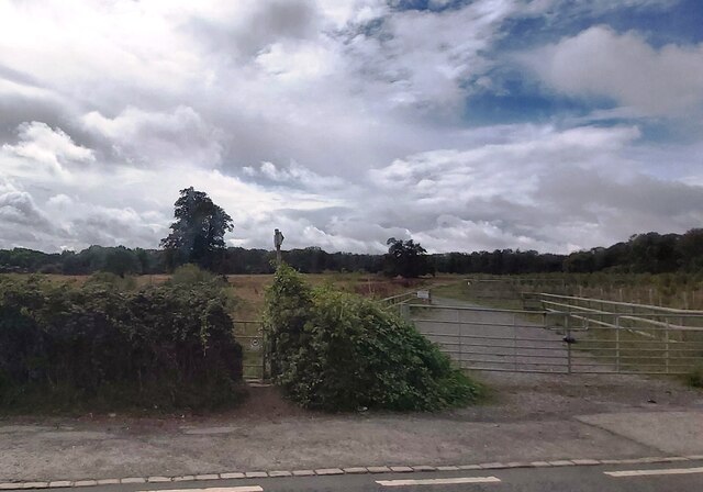
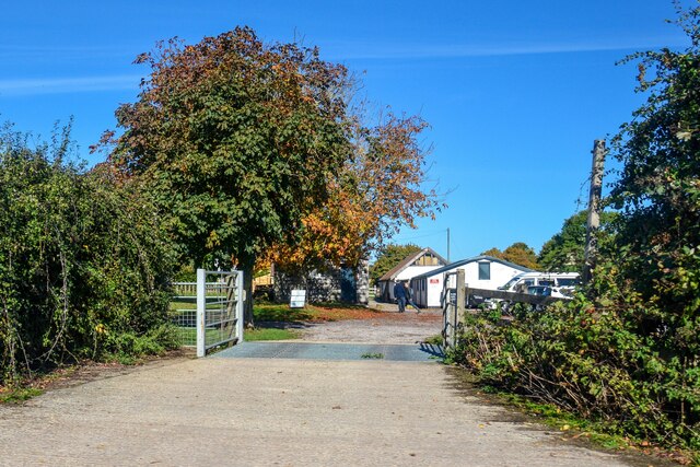
Ashbed Plantation is a picturesque woodland area located in Somerset, a county in South West England. Covering a vast area, it is one of the largest plantations in the region, attracting nature enthusiasts and hikers alike with its serene beauty and diverse ecosystem.
The plantation is primarily composed of ash trees, hence its name, which provide a dense canopy, creating a cool and shaded atmosphere for visitors. The towering trees offer a perfect habitat for a wide range of wildlife, including various bird species, mammals, and insects. Many birdwatchers flock to Ashbed Plantation to catch a glimpse of elusive species such as the woodpecker and the nightingale.
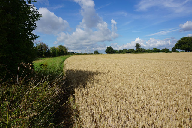
The woodland also boasts a rich undergrowth of vibrant wildflowers and ferns, adding a splash of color to the green surroundings. In the spring, bluebells carpet the forest floor, creating a mesmerizing sight for visitors. Additionally, the plantation features several small streams and a tranquil pond, further enhancing its natural allure.
For those who enjoy outdoor activities, Ashbed Plantation offers numerous walking trails and well-maintained footpaths that wind through the forest, allowing visitors to explore its beauty at their leisure. The plantation is also a popular spot for picnics and family outings, with designated areas equipped with benches and tables.
Ashbed Plantation is a haven of tranquility and natural splendor, providing a unique opportunity for individuals to immerse themselves in the beauty of Somerset's woodlands. Whether seeking solace in nature, observing wildlife, or embarking on an adventure through the forest trails, this enchanting plantation offers a memorable experience for all who visit.
If you have any feedback on the listing, please let us know in the comments section below.
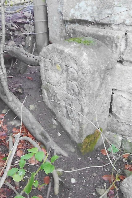
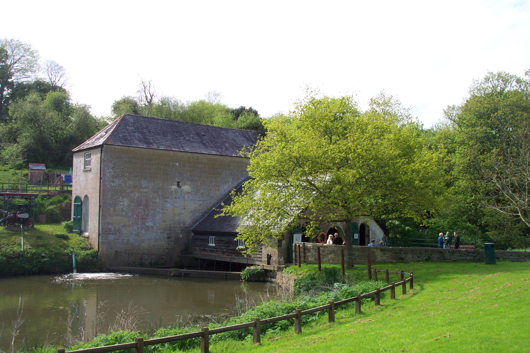
Ashbed Plantation Images
Images are sourced within 2km of 51.380907/-2.3115516 or Grid Reference ST7864. Thanks to Geograph Open Source API. All images are credited.


Ashbed Plantation is located at Grid Ref: ST7864 (Lat: 51.380907, Lng: -2.3115516)
Unitary Authority: Bath and North East Somerset
Police Authority: Avon and Somerset
What 3 Words
///recent.vocal.ports. Near Monkton Farleigh, Wiltshire
Nearby Locations
Related Wikis
Claverton, Somerset
Claverton is a small village and civil parish about 2 miles (3 km) east of Bath at the southern end of the Cotswolds Area of Outstanding Natural Beauty...
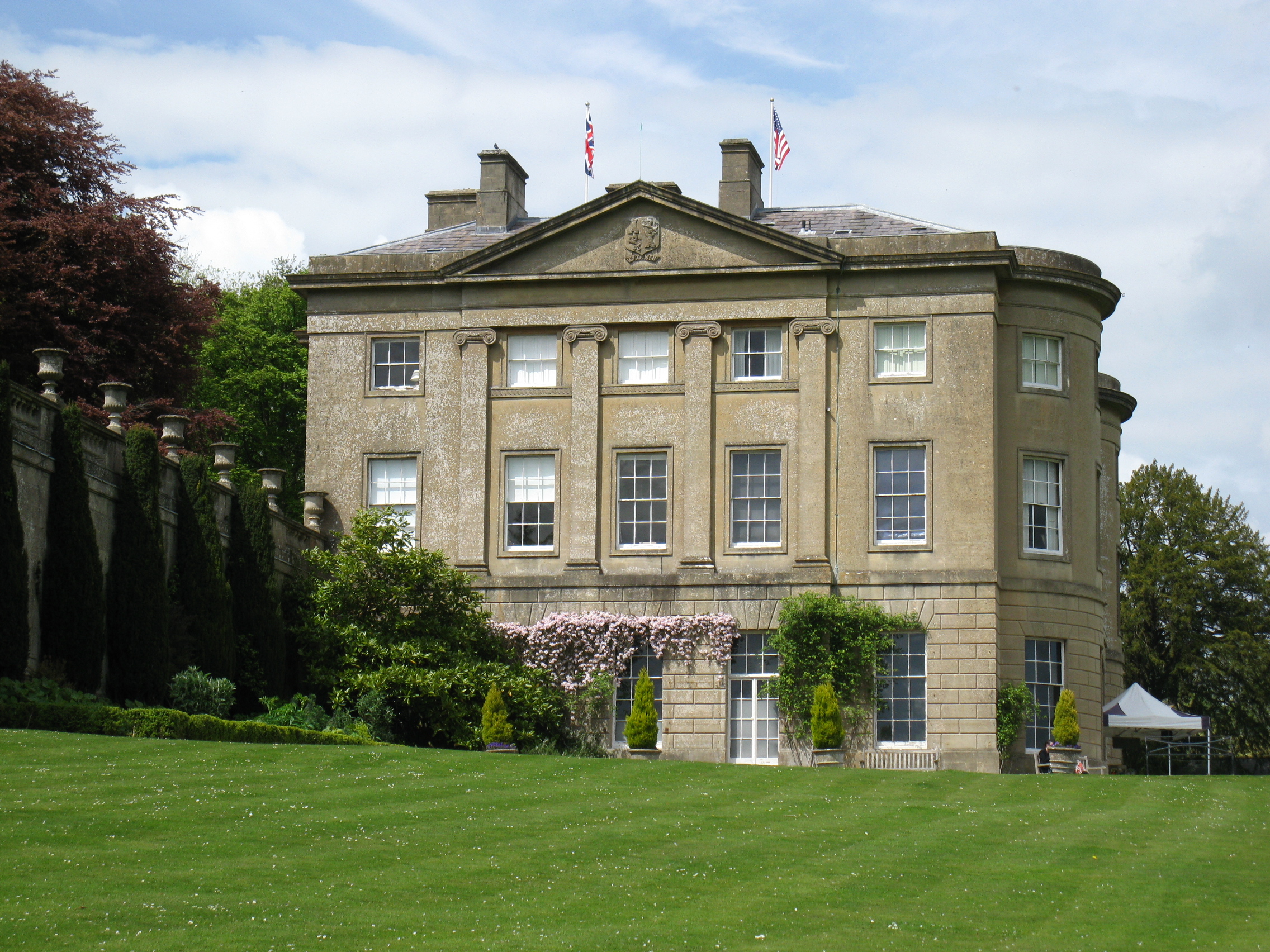
American Museum and Gardens
The American Museum and Gardens (formerly American Museum in Britain) is a museum of American art and culture based at Claverton, near Bath, England. Its...

Claverton Pumping Station
Claverton Pumping Station in the village of Claverton, in the English county of Somerset, pumps water from the River Avon to the Kennet and Avon Canal...

Warleigh Weir
Warleigh Weir is a river structure at Warleigh on the River Avon in Somerset, England, upstream from the city of Bath. The weir was originally built to...

Kennet and Avon Canal
The Kennet and Avon Canal is a waterway in southern England with an overall length of 87 miles (140 km), made up of two lengths of navigable river linked...

Claverton Down
Claverton Down is a suburb on the south-east hilltop edge of Bath, Somerset, England. It is linked to the Bathwick area of the city by Bathwick Hill. Primarily...

University Radio Bath
University Radio Bath or URB is the student-run radio station from the University of Bath, England. == About == University Radio Bath is run entirely by...

University of Bath School of Management
The University of Bath School of Management in Bath, England, is the international business school of the University of Bath. It was established in 1966...
Nearby Amenities
Located within 500m of 51.380907,-2.3115516Have you been to Ashbed Plantation?
Leave your review of Ashbed Plantation below (or comments, questions and feedback).