Black Wood

Wood, Forest in Lancashire Ribble Valley

England

Black Wood

Old Milestone, Read Currently located in Whins Lane, Read. 

Inscription: To / Whalley / 2 Miles / To Clitheroe / 6 Miles // 
             To / Padiham / 2 Miles / to Burnley / 3½ Miles

Milestone Society National ID: LA_BUCL06
Old Milestone, Read Credit: David Phillips

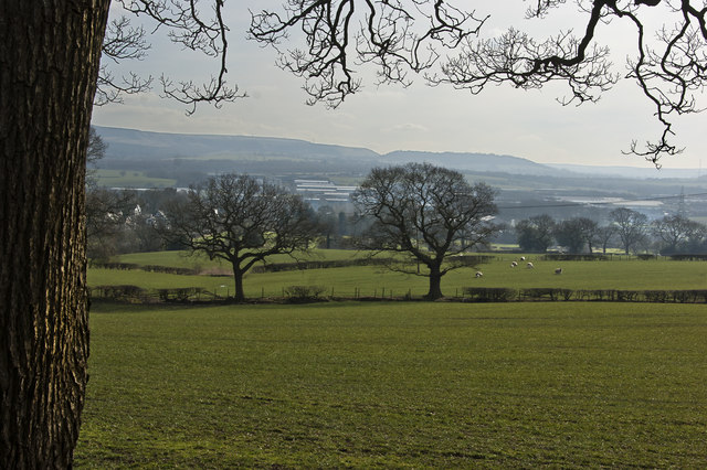
Black Wood is a small forest located in Lancashire, England. It is known for its dense and lush vegetation, providing a haven for various plant and animal species. Covering an area of approximately 100 acres, the woodland is characterized by its predominantly dark-hued trees, which give it its distinctive name.

The forest is home to a diverse range of wildlife, including birds, mammals, and insects. Species such as foxes, badgers, and squirrels can be observed in their natural habitat, while a variety of bird species, including owls and woodpeckers, can be heard and seen throughout the woods. The abundance of insects also attracts a wide variety of bird species, contributing to the overall biodiversity of the area.

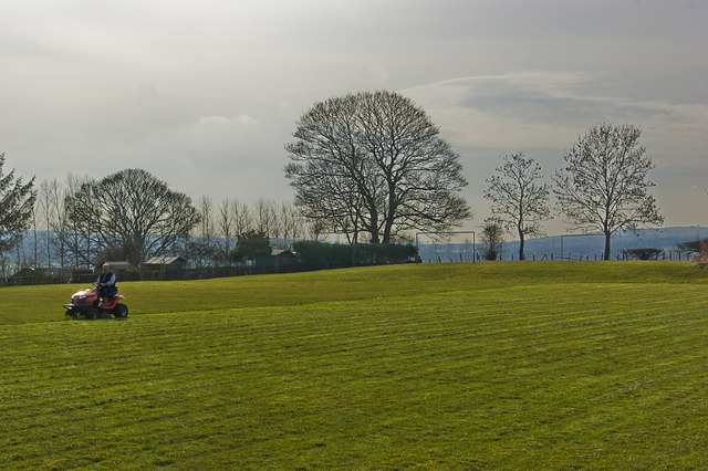
The forest is popular among nature enthusiasts and hikers, offering several well-maintained trails and paths for exploration. Visitors can immerse themselves in the tranquility of the woodland, enjoying the fresh air and peaceful atmosphere. The dense foliage provides shade during the summer months, making it a pleasant retreat from the heat.

Black Wood is also valued for its ecological importance. The forest acts as a carbon sink, effectively absorbing and storing carbon dioxide from the atmosphere, contributing to the fight against climate change. It also serves as a natural water filter, helping to maintain the quality of nearby water sources.

Overall, Black Wood is a picturesque and biodiverse forest, offering a serene escape for both wildlife and humans alike.

If you have any feedback on the listing, please let us know in the comments section below.

Black Wood Images

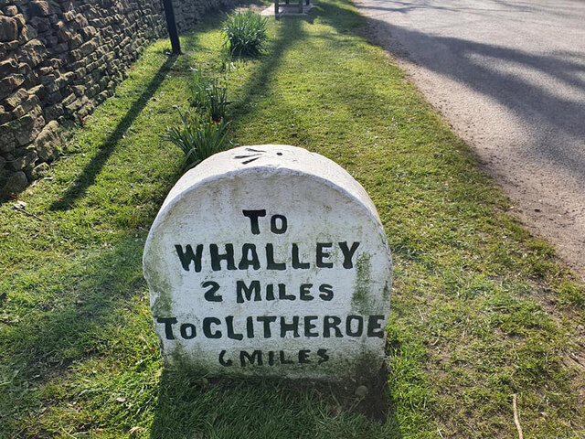
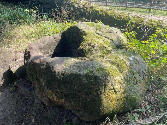
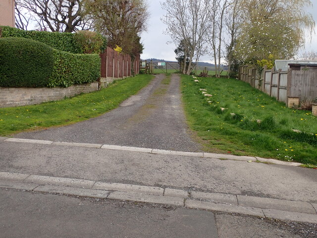
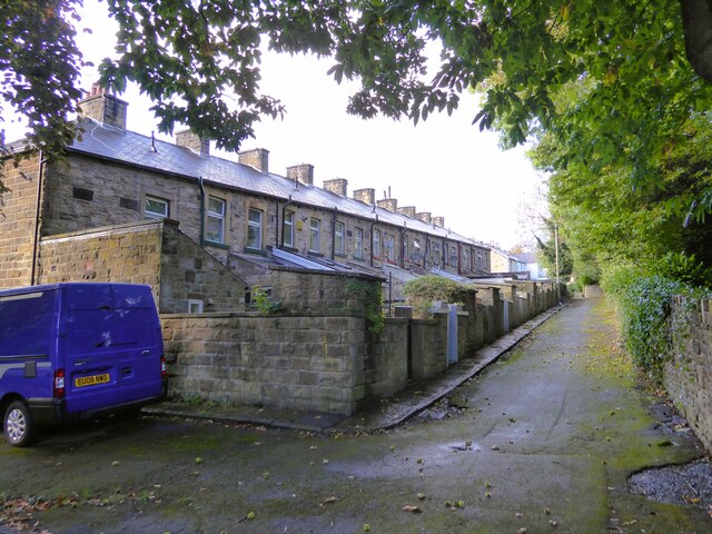
Images are sourced within 2km of 53.8073/-2.3303164 or Grid Reference SD7834. Thanks to Geograph Open Source API. All images are credited.

Old Milestone, Read Currently located in Whins Lane, Read. 

Inscription: To / Whalley / 2 Miles / To Clitheroe / 6 Miles // 
             To / Padiham / 2 Miles / to Burnley / 3½ Miles

Milestone Society National ID: LA_BUCL06
Old Milestone, Read
Currently located in Whins Lane, Read. Inscription: To / Whalley / 2 Miles / To Clitheroe / 6 Miles // To / Padiham / 2 Miles / to Burnley / 3½ Miles Milestone Society National ID: LA_BUCL06
Old Wayside Cross off Trapp Lane Simon's Cross, the base of a wayside cross. Set beside a footpath leaving a gate on the east side of Trapp Lane on the boundary of Simonstone and Read parishes. See also  <span class="nowrap"><a title="https://thejournalofantiquities.com/2016/06/15/simons-cross-simonstone-near-padiham-lancashire/" rel="nofollow ugc noopener" href="https://thejournalofantiquities.com/2016/06/15/simons-cross-simonstone-near-padiham-lancashire/">Link</a><img style="margin-left:2px;" alt="External link" title="External link - shift click to open in new window" src="https://s1.geograph.org.uk/img/external.png" width="10" height="10"/></span> and <a title="https://www.geograph.org.uk/photo/1122007" href="https://www.geograph.org.uk/photo/1122007">Link</a>.

Milestone Society National ID: LARV_SIM
Old Wayside Cross off Trapp Lane
Simon's Cross, the base of a wayside cross. Set beside a footpath leaving a gate on the east side of Trapp Lane on the boundary of Simonstone and Read parishes. See also LinkExternal link and Link. Milestone Society National ID: LARV_SIM
Footpath off Carleton Road The entrance leading to the footpath from Carleton road Simonstone.
Footpath off Carleton Road
The entrance leading to the footpath from Carleton road Simonstone.
Former railway bridge Spanning Green Brook and now used as a cycle route, the Padiham Greenway.
Former railway bridge
Spanning Green Brook and now used as a cycle route, the Padiham Greenway.
Cycle path following route of former railway The Padiham Greenway approaching the bridge across Park Road. Behind the camera is the fenced off viaduct that took the cycle path over the River Calder but is closed due to structural issues.
Cycle path following route of former railway
The Padiham Greenway approaching the bridge across Park Road. Behind the camera is the fenced off viaduct that took the cycle path over the River Calder but is closed due to structural issues.
Housing block On Moor Lane at the junction with Guy Street
Housing block
On Moor Lane at the junction with Guy Street
The back yards to terrace housing View of the rear of Bridge Street from a minor gateway to Memorial Park
The back yards to terrace housing
View of the rear of Bridge Street from a minor gateway to Memorial Park
TESCO at Padiham
TESCO at Padiham
Altham bridge over the River Calder
A footbridge over a tributary to the River Calder
The fields south of Whalley Road
This takes a bit of mowing
St James Church on the bank of the River Calder
The brook from the footbridge
The River Calder from the Altham bridge
St James Church, Altham
Straits Lane, Read
Straits Lane, Read
The River Calder
The River Calder
Show me another place!

Black Wood is located at Grid Ref: SD7834 (Lat: 53.8073, Lng: -2.3303164)

Administrative County: Lancashire

District: Ribble Valley

Police Authority: Lancashire

What 3 Words

///pony.grove.heartburn. Near Padiham, Lancashire

Related Wikis

Huntroyde Hall

Huntroyde Hall is a grade II listed, 16th-century house in the civil parish of Simonstone in the Borough of Ribble Valley, Lancashire, England. Its estate...

Padiham F.C.

Padiham Football Club are an English football team based in Padiham, Lancashire. As of 2019–20, they play in the North West Counties League Premier Division...

Simonstone, Lancashire

Simonstone is a small village and civil parish in the Ribble Valley district of Lancashire, England. The population of the civil parish taken at the 2011...

Simonstone railway station

Simonstone railway station was located on the east side of Simonstone Lane, 0.75 miles (1 km) south of Simonstone centre and near Padiham, Lancashire,...

Have you been to Black Wood?

Leave your review of Black Wood below (or comments, questions and feedback).