Green's Coppice
Wood, Forest in Staffordshire South Staffordshire
England
Green's Coppice

Green's Coppice is a picturesque woodland located in the county of Staffordshire, England. Covering an area of approximately 50 acres, this enchanting forest is a popular destination for nature enthusiasts and outdoor adventurers alike.
The woodland is characterized by its dense canopy of tall, mature trees, including oak, beech, and birch. These towering giants provide a tranquil and serene atmosphere, offering a welcome respite from the hustle and bustle of everyday life. The forest floor is adorned with a rich carpet of ferns, wildflowers, and mosses, creating a diverse and vibrant ecosystem.
Green's Coppice is home to a variety of wildlife, including deer, foxes, and a myriad of bird species. Birdwatchers can delight in spotting woodpeckers, owls, and even the occasional buzzard soaring overhead. The peacefulness of the forest provides an excellent opportunity for visitors to observe and appreciate these creatures in their natural habitat.
The woodland is crisscrossed with a network of well-maintained footpaths, making it easy for visitors to explore and navigate through the forest. These trails offer a range of difficulty levels, catering to both casual strollers and more adventurous hikers. Along the way, visitors may stumble upon hidden streams, small ponds, and even a charming wooden bridge, adding to the magical ambiance of the forest.
Green's Coppice is not only a haven for wildlife and nature lovers but also a cherished recreational space for locals. Families often gather here for picnics, while others come to enjoy leisurely walks or engage in activities such as photography and sketching. With its natural beauty and peaceful aura, Green's Coppice is a true gem in the heart of Staffordshire.
If you have any feedback on the listing, please let us know in the comments section below.
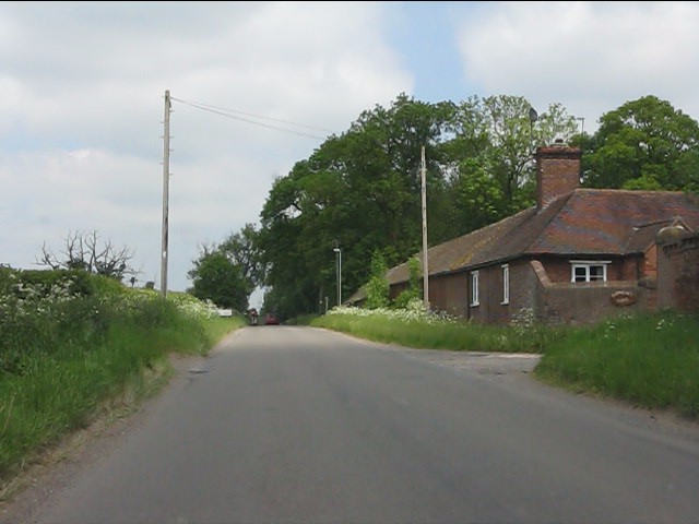
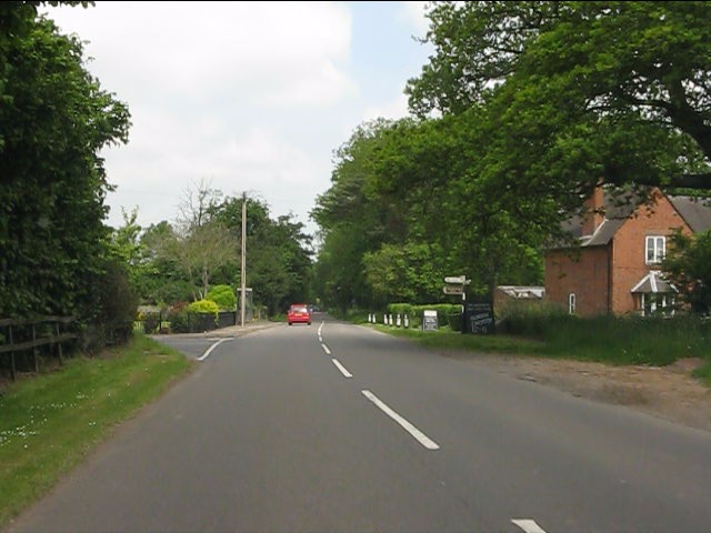
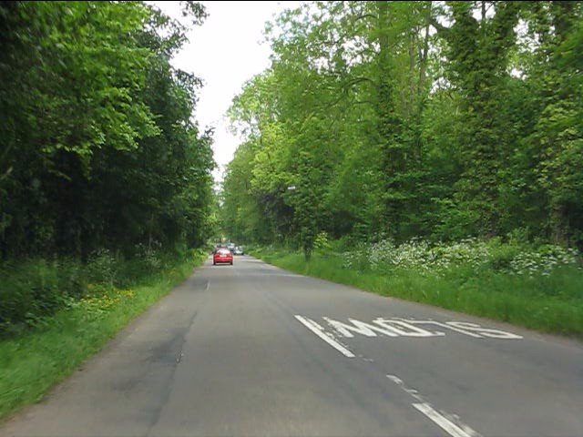
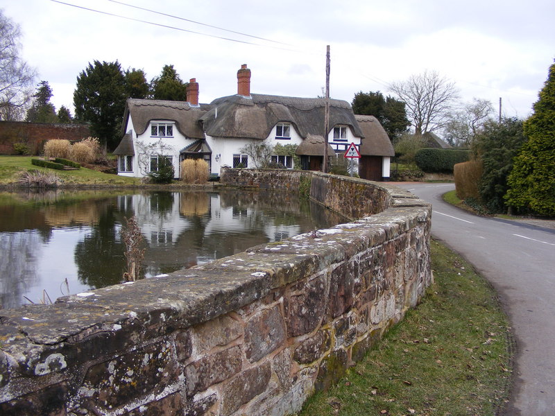
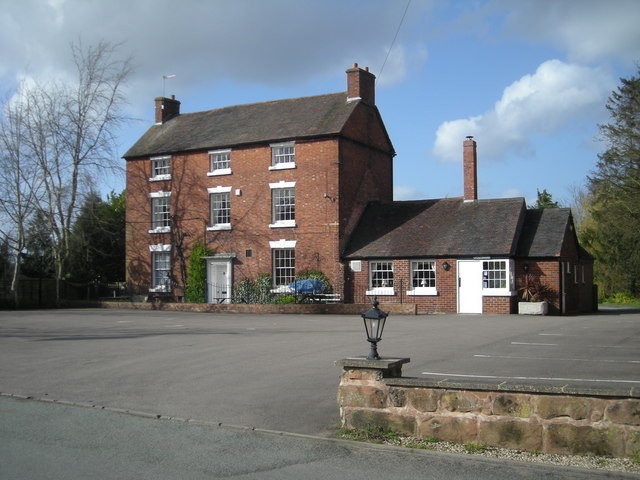
Green's Coppice Images
Images are sourced within 2km of 52.596014/-2.3222474 or Grid Reference SO7899. Thanks to Geograph Open Source API. All images are credited.


Green's Coppice is located at Grid Ref: SO7899 (Lat: 52.596014, Lng: -2.3222474)
Administrative County: Staffordshire
District: South Staffordshire
Police Authority: Staffordshire
What 3 Words
///meaty.urban.blinks. Near Ryton, Shropshire
Nearby Locations
Related Wikis

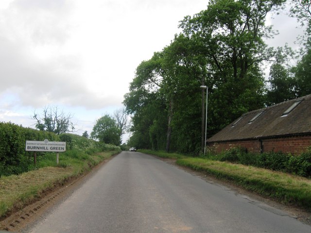
Burnhill Green
Burnhill Green is a small hamlet near Pattingham, situated in Staffordshire, England, in the former parish of Patshull. The hamlet is on the edge of the...
Badger, Shropshire
Badger is a village and civil parish in Shropshire, England, about six miles north-east of Bridgnorth. The parish had a population of 134 according to...
Ackleton
Ackleton is a village in the English county of Shropshire. It is in the civil parish of Worfield. Situated some seven miles (11 kilometers) from the market...

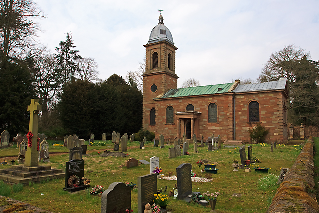
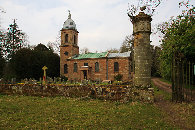
St Mary's Church, Patshull
St Mary's Church, Patshull, is a redundant Anglican church in the parish of Pattingham and Patshull, Staffordshire, England, and is situated near Patshull...
Patshull
Patshull is a former civil parish, now in the parish of Pattingham and Patshull, in the South Staffordshire district, in the county of Staffordshire, England...

Patshull Hall
Patshull Hall is a substantial Georgian mansion house situated near Pattingham in Staffordshire, England. It is a Grade I listed building and by repute...

Beckbury
Beckbury is a village and civil parish in Shropshire, England. Beckbury had a population of 327 according to the 2001 census, increasing to 340 at the...

Caynton Caves
The Caynton Caves are a series of man-made underground chambers in the grounds of Caynton Hall, near Beckbury, Shropshire, England. Their original purpose...
Nearby Amenities
Located within 500m of 52.596014,-2.3222474Have you been to Green's Coppice?
Leave your review of Green's Coppice below (or comments, questions and feedback).