Alderley Wood

Wood, Forest in Gloucestershire Stroud

England

Alderley Wood

Grade II Listed Hillesley War Memorial, Gloucestershire The Cotswold limestone War Memorial located on a triangular green at a main road 
junction was erected c1921 to commemorate the 13 men of the village who lost
their lives in the Great War (First World War). Grade II Listed in 2013.
Grade II Listed Hillesley War Memorial, Gloucestershire Credit: Jaggery

Alderley Wood is a picturesque woodland located in the county of Gloucestershire, England. Covering an area of approximately 50 acres, it is nestled within the beautiful countryside of the Cotswolds. The wood is part of the larger Alderley Estate and is privately owned, but it is open to the public for recreational purposes.

This ancient woodland is predominantly composed of a mixture of deciduous and coniferous trees, including oak, beech, pine, and cedar. The dense canopy creates a serene and tranquil atmosphere, making it a popular destination for nature lovers, hikers, and birdwatchers.

Alderley Wood boasts a diverse range of flora and fauna, providing a habitat for a variety of wildlife species. Visitors may encounter woodland birds such as woodpeckers, owls, and songbirds, as well as small mammals like squirrels, rabbits, and foxes. The woodland floor is adorned with an array of wildflowers, ferns, and mosses, adding to its natural beauty.

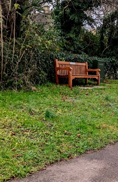
Well-maintained footpaths wind their way through the wood, offering visitors the opportunity to explore and appreciate its natural wonders. There are also picnic areas and benches scattered throughout, allowing visitors to relax and enjoy the peaceful surroundings.

Alderley Wood is a popular destination year-round, with each season showcasing its unique charm. In spring, the woodland comes alive with vibrant blooms and the songs of birds. Summer offers lush greenery and dappled sunlight filtering through the trees. Autumn paints the wood in a myriad of warm hues as the leaves change color, and winter adds a mystical touch with frost-covered branches.

Overall, Alderley Wood is a hidden gem in Gloucestershire, offering a peaceful retreat for those seeking solace in nature's embrace.

If you have any feedback on the listing, please let us know in the comments section below.

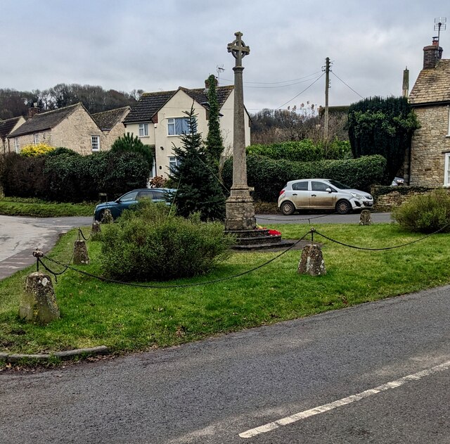
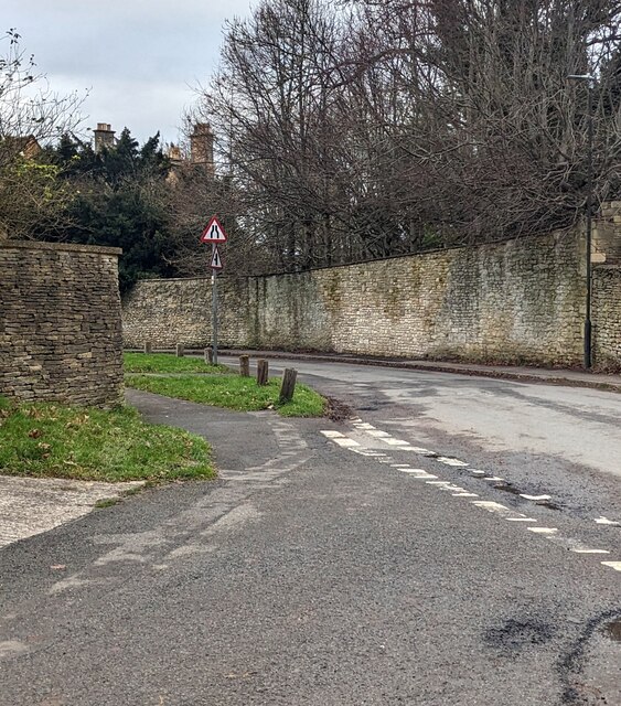
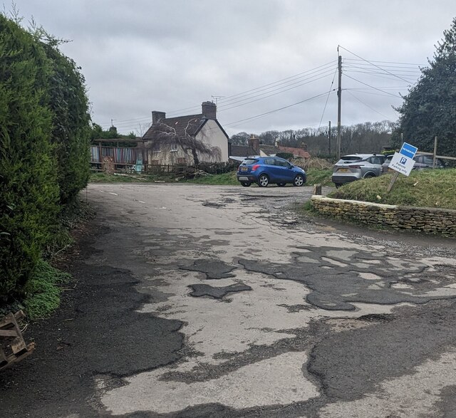
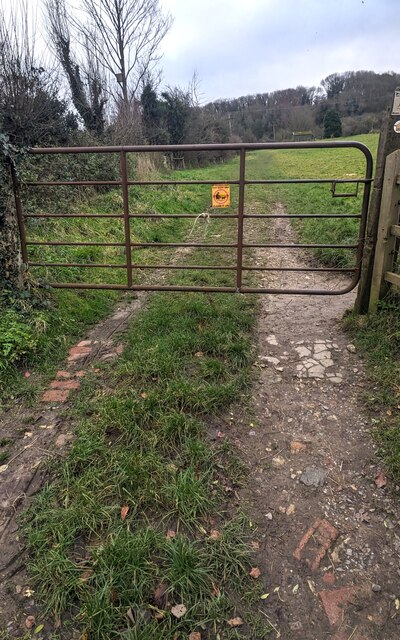
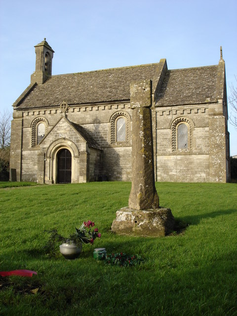
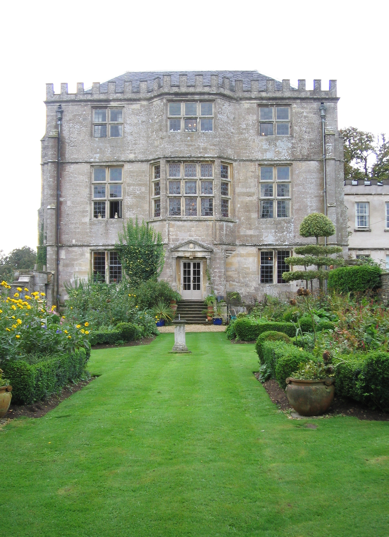
Alderley Wood Images

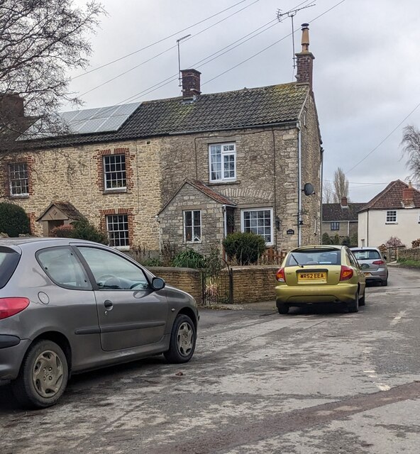
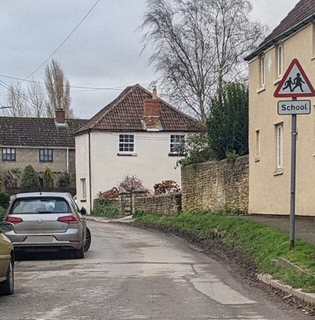
Images are sourced within 2km of 51.61758/-2.3155396 or Grid Reference ST7891. Thanks to Geograph Open Source API. All images are credited.

Grade II Listed Hillesley War Memorial, Gloucestershire The Cotswold limestone War Memorial located on a triangular green at a main road 
junction was erected c1921 to commemorate the 13 men of the village who lost
their lives in the Great War (First World War). Grade II Listed in 2013.
Grade II Listed Hillesley War Memorial, Gloucestershire
The Cotswold limestone War Memorial located on a triangular green at a main road junction was erected c1921 to commemorate the 13 men of the village who lost their lives in the Great War (First World War). Grade II Listed in 2013.
Junction in Hillesley, Gloucestershire Looking to the NE towards Alderley Road. 
The village War Memorial <a title="https://www.geograph.org.uk/photo/7674707" href="https://www.geograph.org.uk/photo/7674707">Link</a> is near the camera.
Junction in Hillesley, Gloucestershire
Looking to the NE towards Alderley Road. The village War Memorial Link is near the camera.
Mill House, Hillesley, Gloucestershire Grade II Listed house opposite the War Memorial. <a title="https://www.geograph.org.uk/photo/7674707" href="https://www.geograph.org.uk/photo/7674707">Link</a>
Mill House, Hillesley, Gloucestershire
Grade II Listed house opposite the War Memorial. Link
Red phonebox on grass, Hillesley, Gloucestershire Grade II Listed Type K6 cast iron phonebox.
Red phonebox on grass, Hillesley, Gloucestershire
Grade II Listed Type K6 cast iron phonebox.
Wooden bench on grass,  Hillesley, Gloucestershire, In the background here. <a title="https://www.geograph.org.uk/photo/7674722" href="https://www.geograph.org.uk/photo/7674722">Link</a>
Wooden bench on grass, Hillesley, Gloucestershire,
In the background here. Link
Rooftop solar panels, Hillesley, Gloucestershire On a west-facing roof.
Rooftop solar panels, Hillesley, Gloucestershire
On a west-facing roof.
Warning sign - school, Hillesley, Gloucestershire On the approach to Hillesley Church of England Primary School.
Warning sign - school, Hillesley, Gloucestershire
On the approach to Hillesley Church of England Primary School.
Queen Elizabeth II postbox, High Street, Hillesley, Gloucestershire In need of a repaint in December 2023.
Queen Elizabeth II postbox, High Street, Hillesley, Gloucestershire
In need of a repaint in December 2023.
Yellow roundel on a High Street wall, Hillesley, Gloucestershire The AA (Automobile Association) roundel shows
HAWKESBURY UPTON 2
HILLSLEY
KINGSWOOD 2
LONDON 108½
SAFETY FIRST

The roundel shows HILLSLEY, which is how the village name was previously spelt. 
It is now HILLESLEY as seen here <a title="https://www.geograph.org.uk/photo/7673230" href="https://www.geograph.org.uk/photo/7673230">Link</a>
Yellow roundel on a High Street wall, Hillesley, Gloucestershire
The AA (Automobile Association) roundel shows HAWKESBURY UPTON 2 HILLSLEY KINGSWOOD 2 LONDON 108½ SAFETY FIRST The roundel shows HILLSLEY, which is how the village name was previously spelt. It is now HILLESLEY as seen here Link
Junction of St Giles Barton and High Street, Hillesley, Gloucestershire From the left, the cul-de-sac St Giles Barton joins High Street.
Junction of St Giles Barton and High Street, Hillesley, Gloucestershire
From the left, the cul-de-sac St Giles Barton joins High Street.
St Giles Barton, Hillesley, Gloucestershire Cul-de-sac viewed across High Street
St Giles Barton, Hillesley, Gloucestershire
Cul-de-sac viewed across High Street
Post Office Cottage, Hillesley, Gloucestershire This <a title="https://www.geograph.org.uk/photo/7675335" href="https://www.geograph.org.uk/photo/7675335">Link</a> AA roundel is on the cottage side wall.
Post Office Cottage, Hillesley, Gloucestershire
This Link AA roundel is on the cottage side wall.
The Fleece Inn, Hillesley, Gloucestershire Viewed across Chapel Lane.
The Fleece Inn, Hillesley, Gloucestershire
Viewed across Chapel Lane.
The Fleece Inn name sign, Hillesley, Gloucestershire Hanging from a wall bracket here. <a title="https://www.geograph.org.uk/photo/7671003" href="https://www.geograph.org.uk/photo/7671003">Link</a>
The Fleece Inn name sign, Hillesley, Gloucestershire
Hanging from a wall bracket here. Link
Yellow box, Chapel Lane, Hillesley, Gloucestershire Defibrillator box at an entrance to the Fleece Inn. <a title="https://www.geograph.org.uk/photo/7671003" href="https://www.geograph.org.uk/photo/7671003">Link</a>
Yellow box, Chapel Lane, Hillesley, Gloucestershire
Defibrillator box at an entrance to the Fleece Inn. Link
Chapel Lane houses, Hillesley, Gloucestershire The Fleece Inn <a title="https://www.geograph.org.uk/photo/7671003" href="https://www.geograph.org.uk/photo/7671003">Link</a> is behind the camera.
Chapel Lane houses, Hillesley, Gloucestershire
The Fleece Inn Link is behind the camera.
Fleece Inn Car Park, Hillesley, Gloucestershire Accessed from Chapel Lane a few metres from the inn. <a title="https://www.geograph.org.uk/photo/7671003" href="https://www.geograph.org.uk/photo/7671003">Link</a>
Fleece Inn Car Park, Hillesley, Gloucestershire
Accessed from Chapel Lane a few metres from the inn. Link
Gate across a public footpath, Hillesley, Gloucestershire SE of Chapel Lane. Text on the small yellow notice on the gate includes
POOP SCOOP AREA and CLEAN IT UP.
Gate across a public footpath, Hillesley, Gloucestershire
SE of Chapel Lane. Text on the small yellow notice on the gate includes POOP SCOOP AREA and CLEAN IT UP.
Show me another place!

Alderley Wood is located at Grid Ref: ST7891 (Lat: 51.61758, Lng: -2.3155396)

Administrative County: Gloucestershire

District: Stroud

Police Authority: Gloucestershire

What 3 Words

///lows.caravans.beard. Near Wotton-under-Edge, Gloucestershire

Related Wikis

Nearby Amenities

Located within 500m of 51.61758,-2.3155396
Barrier: stile
Material: wood
Step Count: 2
Stile: stepover
Lat/Long: 51.620888/-2.3137967
The data included in this document is from www.openstreetmap.org. The data is made available under ODbL.

Have you been to Alderley Wood?

Leave your review of Alderley Wood below (or comments, questions and feedback).