Craigend

Settlement in Angus

Scotland

Craigend

Track near to Easter Knox and Knox Hill Looking north-westward.
Track near to Easter Knox and Knox Hill Credit: Peter Wood

Craigend is a small village located in the county of Angus, Scotland. Situated about 4 miles northwest of the town of Forfar, it is nestled in a picturesque rural setting surrounded by rolling hills and farmland. The village is home to a close-knit community of around 200 residents.

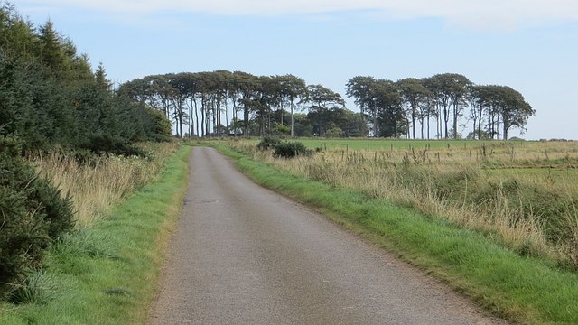
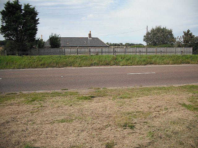
Craigend is renowned for its natural beauty, with stunning landscapes and panoramic views. The area is characterized by its fertile soil, making it an ideal location for agriculture. The village itself is scattered with traditional stone houses, giving it a charming and rustic atmosphere.

Despite its small size, Craigend has a strong sense of community spirit. The locals actively engage in various events and activities, such as the annual village fair, which brings residents together to celebrate their local heritage and traditions. The village also has a community center that serves as a hub for social gatherings and recreational activities.

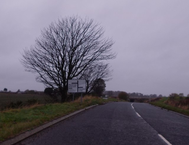
In terms of amenities, Craigend has limited facilities. However, the nearby town of Forfar provides access to a wider range of services, including shops, schools, and healthcare facilities. The village is well-connected to the rest of Angus and beyond by road, with the A90 passing close by.

Overall, Craigend offers a peaceful and idyllic lifestyle for those seeking a rural retreat. Its natural beauty, strong community spirit, and proximity to larger towns make it an attractive place to live for those who appreciate the tranquility and charm of the Scottish countryside.

If you have any feedback on the listing, please let us know in the comments section below.
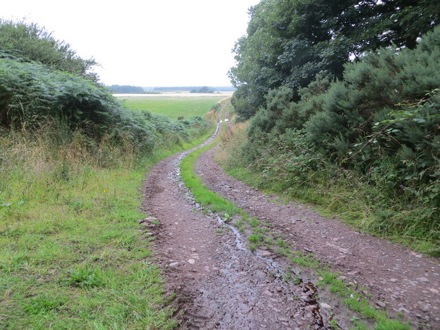
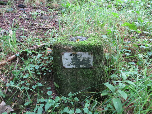
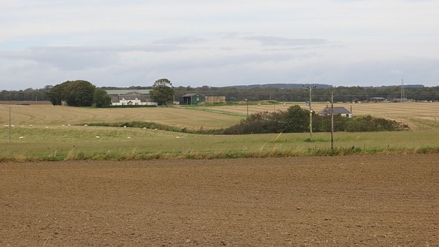
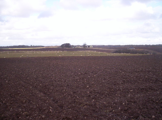
Craigend Images

Images are sourced within 2km of 56.541114/-2.6845891 or Grid Reference NO5839. Thanks to Geograph Open Source API. All images are credited.

Track near to Easter Knox and Knox Hill Looking north-westward.
Track near to Easter Knox and Knox Hill
Looking north-westward.
Ordnance Survey Fundamental Bench Mark This can be found in woodland near to Easter Knox.
The recorded details give a height of 89.8 metres above sea level.
For more detail see :<span class="nowrap"><a title="https://www.bench-marks.org.uk/bm997" rel="nofollow ugc noopener" href="https://www.bench-marks.org.uk/bm997">Link</a><img style="margin-left:2px;" alt="External link" title="External link - shift click to open in new window" src="https://s1.geograph.org.uk/img/external.png" width="10" height="10"/></span>
Ordnance Survey Fundamental Bench Mark
This can be found in woodland near to Easter Knox. The recorded details give a height of 89.8 metres above sea level. For more detail see :LinkExternal link
Minor road at Airbirlot Primary School Looking eastward.
Minor road at Airbirlot Primary School
Looking eastward.
Greenford Hilltop arable land on the eastern tail of the Sidlaw Hills.
Greenford
Hilltop arable land on the eastern tail of the Sidlaw Hills.
Stubble, Braeside The land slopes gently to the east at the coastal tailend of the Sidlaw Hills.
Stubble, Braeside
The land slopes gently to the east at the coastal tailend of the Sidlaw Hills.
Track to Nowhere This track runs between Arbirlot Primary School and Easter Knox. It leads nowhere and is used to access fields behind the school and farm.
Track to Nowhere
This track runs between Arbirlot Primary School and Easter Knox. It leads nowhere and is used to access fields behind the school and farm.
Dam at Kellyfield Judging by the stack of pipes by the road, this dam on the Rottenraw Burn is intended for irrigation.
Dam at Kellyfield
Judging by the stack of pipes by the road, this dam on the Rottenraw Burn is intended for irrigation.
Footpath South of Braeside
Balbinnie A minor road alongside Balbinnie Wood.
Balbinnie
A minor road alongside Balbinnie Wood.
Approaching A92 underpass at Salmond's Muir On minor road from East Haven.
Approaching A92 underpass at Salmond's Muir
On minor road from East Haven.
A92 underpass at Salmond's Muir On minor road from East Haven.
A92 underpass at Salmond's Muir
On minor road from East Haven.
A92 at Nether Kelly
A92 at Nether Kelly
Hatton Farm
Hatton Farm
Track at Hatton Farm leading to disused airfield The building to the right of the image has the look of a disused military building.
Track at Hatton Farm leading to disused airfield
The building to the right of the image has the look of a disused military building.
Nether Kelly Hedges by the road to the water works.
Nether Kelly
Hedges by the road to the water works.
Winter cereals, West Balmirmer
Show me another place!

Craigend is located at Grid Ref: NO5839 (Lat: 56.541114, Lng: -2.6845891)

Unitary Authority: Angus

Police Authority: Tayside

What 3 Words

///fevered.suitcase.completed. Near Carnoustie, Angus

Related Wikis

Balmirmer

Balmirmer is a hamlet in the council area of Angus, Scotland. It is situated 2 miles (3 km) north-east of Carnoustie and 4 miles (6 km) west of Arbroath...

Salmond's Muir

Salmond's Muir is a hamlet in the council area of Angus, Scotland. It is situated 2 miles (3 km) north-east of Carnoustie and 4 miles (6 km) west of Arbroath...

Inverpeffer

Inverpeffer (Scottish Gaelic: Inbhir Pheofhair, lit. 'Mouth of the shining/beautiful stream') was a hamlet that once existed in Angus, Scotland until around...

RNAS East Haven (HMS Peewit)

Royal Naval Air Station East Haven (RNAS East Haven, also known as HMS Peewit) is a former Royal Navy, Fleet Air Arm station, situated 3 miles (5 km) south...

Nearby Amenities

Located within 500m of 56.541114,-2.6845891
Balmirmer
Place: hamlet
Wikidata: Q513803
Wikipedia: en:Balmirmer
Lat/Long: 56.5398382/-2.6856073
Power: pole
Lat/Long: 56.5374112/-2.6800552
Power: pole
Lat/Long: 56.5406116/-2.6839265
Power: pole
Lat/Long: 56.5401002/-2.6850269
Power: pole
Lat/Long: 56.5396377/-2.6860063
Power: pole
Lat/Long: 56.5394673/-2.6874504
Power: pole
Lat/Long: 56.5393147/-2.6887022
Power: pole
Lat/Long: 56.5391704/-2.6913678
The data included in this document is from www.openstreetmap.org. The data is made available under ODbL.

Have you been to Craigend?

Leave your review of Craigend below (or comments, questions and feedback).