Ardheslaig

Settlement in Ross-shire

Scotland

Ardheslaig

Loch Reag
Loch Reag Credit: Matthew Chadwick

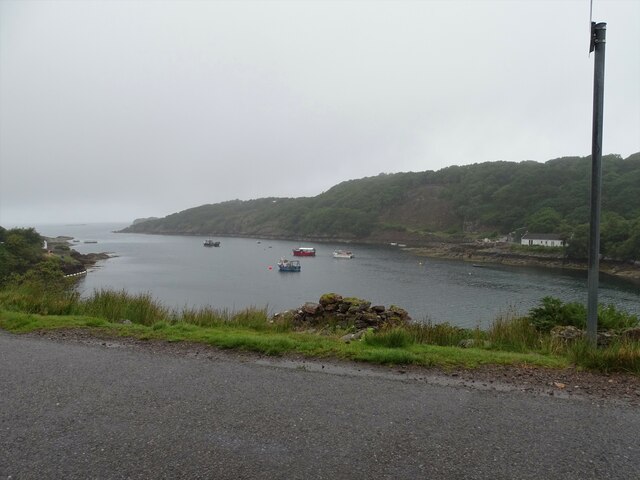
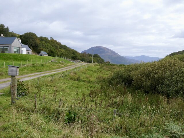
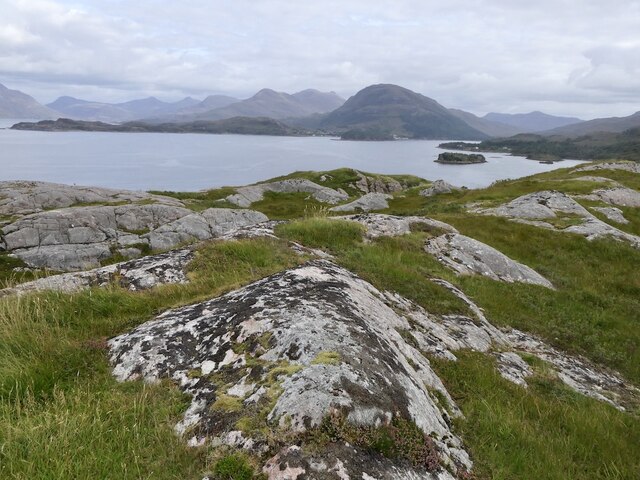
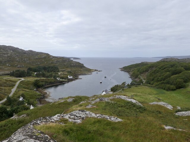
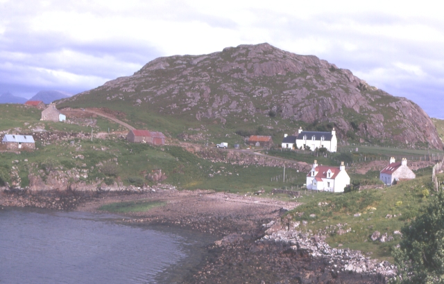
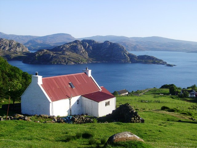
Ardheslaig is a picturesque coastal village located in the historical county of Ross-shire, Scotland. Situated on the western shore of the Applecross Peninsula, it offers breathtaking views of the Inner Sound and the Isle of Skye.

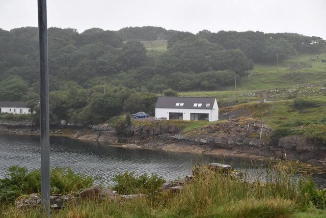
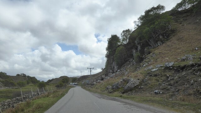
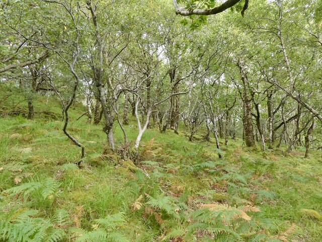
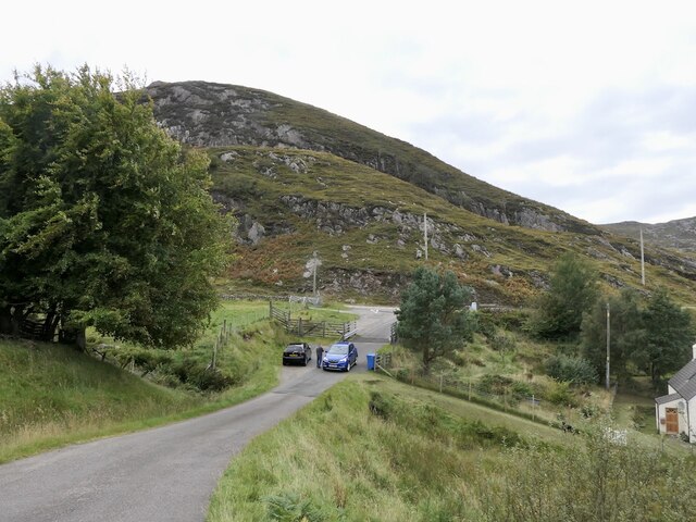
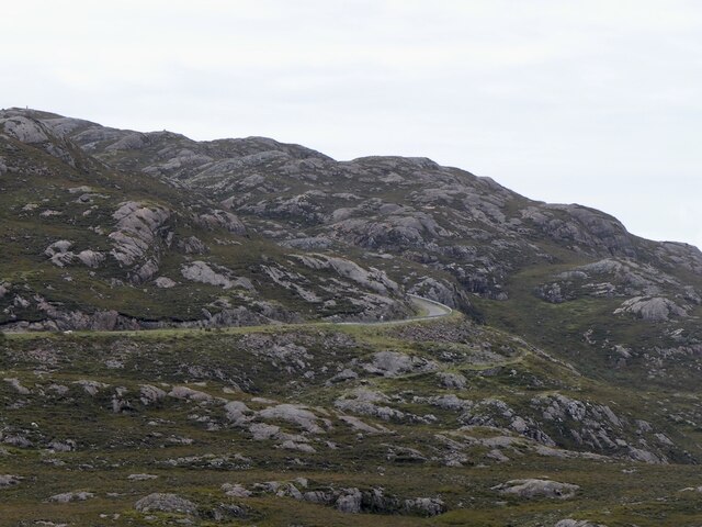
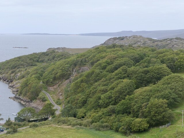
This small community is nestled within a rugged landscape, characterized by rolling hills, rocky cliffs, and pristine beaches. Its remote location makes Ardheslaig a haven for nature lovers and outdoor enthusiasts. The area is a popular destination for hiking, with various trails that wind through the surrounding countryside, providing an opportunity to explore the stunning Scottish Highlands.

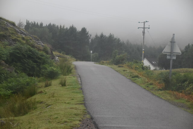
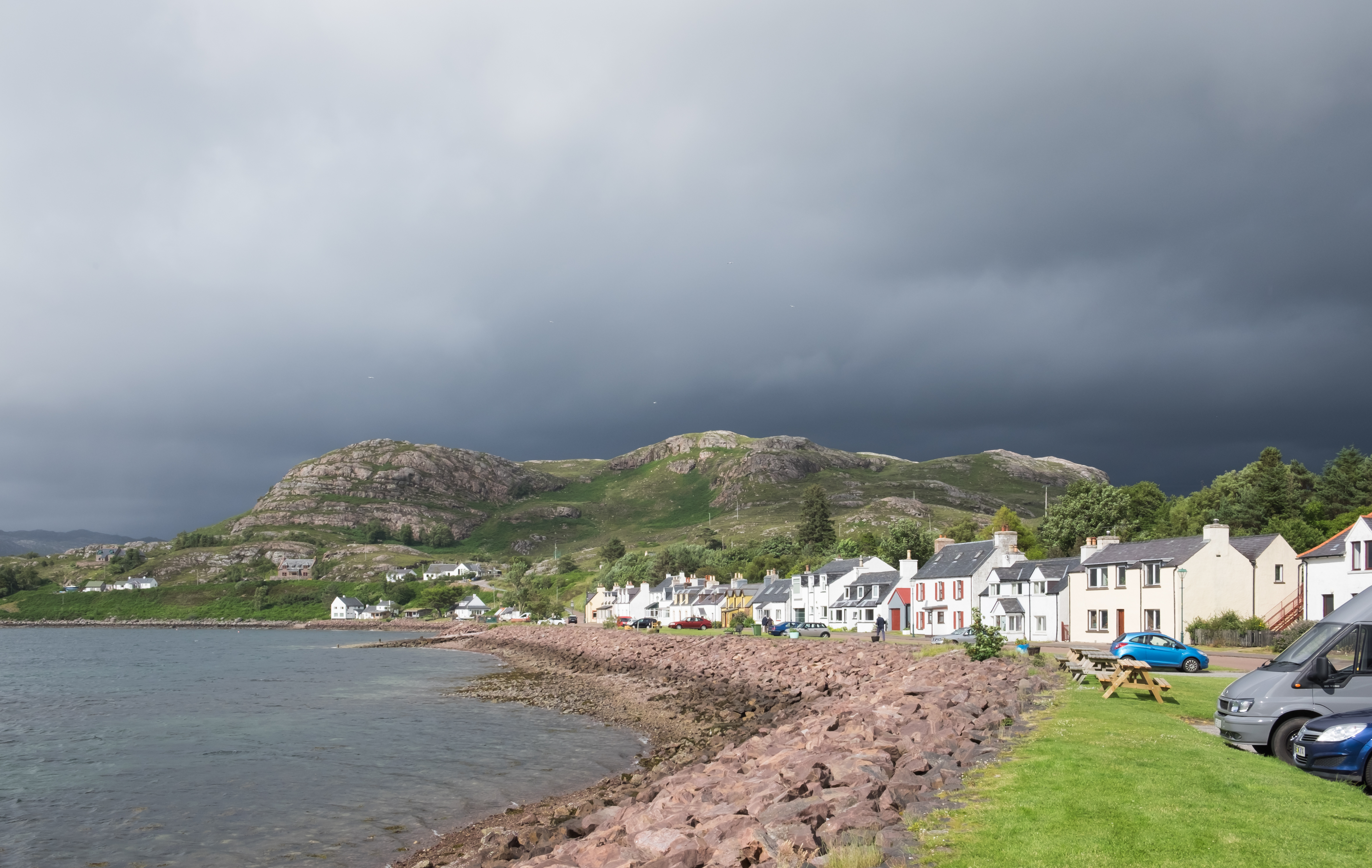
Despite its secluded setting, Ardheslaig is well-connected to nearby towns and cities. The village is approximately 10 miles southwest of the town of Lochcarron, where amenities such as shops, restaurants, and accommodations can be found. The city of Inverness, the capital of the Highlands, is approximately 70 miles to the east.

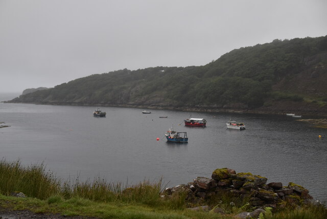
Ardheslaig is also known for its rich marine life, attracting those with an interest in wildlife and fishing. Seals, dolphins, and various seabirds can often be spotted along the coastline, while the waters teem with fish, making it a popular spot for anglers.

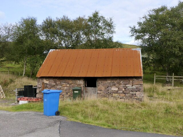
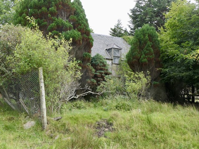
The village itself is a charming collection of traditional stone cottages, which have been carefully preserved to maintain their historic character. Although Ardheslaig is a quiet and peaceful place, it offers a warm and welcoming community for both residents and visitors alike.

If you have any feedback on the listing, please let us know in the comments section below.

Ardheslaig Images

Images are sourced within 2km of 57.539196/-5.707149 or Grid Reference NG7855. Thanks to Geograph Open Source API. All images are credited.

Loch Beag
Loch Beag
Loch Beag
Loch Beag
Applecross coast road The road connecting Applecross to Shieldaig was built in the late 1960s and early 1970s, partly to give access to the BUTEC military site at Sand, and partly to sustain the dwindling crofting communities scattered along the coast.  Prior to its construction, access was by sea or footpath only, and the postman had a 20-mile walk three times a week.

The western part is much straighter and smoother than the northern part which goes across the grain of the sandstone, and also through an area of rough igneous rock.

The section between Shieldaig junction and Kenmore was opened on 11 May 1970 by Princess Margaret, Countess of Snowdon.
Applecross coast road
The road connecting Applecross to Shieldaig was built in the late 1960s and early 1970s, partly to give access to the BUTEC military site at Sand, and partly to sustain the dwindling crofting communities scattered along the coast. Prior to its construction, access was by sea or footpath only, and the postman had a 20-mile walk three times a week. The western part is much straighter and smoother than the northern part which goes across the grain of the sandstone, and also through an area of rough igneous rock. The section between Shieldaig junction and Kenmore was opened on 11 May 1970 by Princess Margaret, Countess of Snowdon.
North Applecross coast road near Ardheslaig
Power House, Inverbain Hydro Electric Scheme
North Applecross coast road
Tin roof Ardheslaig Galvanising, when the zinc metal runs out.
Tin roof Ardheslaig
Galvanising, when the zinc metal runs out.
Ardheslaig
Ardheslaig
Oak wood, Ardheslaig
Road into Ardheslaig
Derelict house, Ardheslaig
Summit, Meall an Doire Dhuibh A fine gneiss peak, although just 68m above sea level. There is a very good view for little effort. The land is grazed by cattle.
Summit, Meall an Doire Dhuibh
A fine gneiss peak, although just 68m above sea level. There is a very good view for little effort. The land is grazed by cattle.
Fish farm, Ardheslaig
Loch Beag, Ardheslaig
The "new" road to Applecross Built in the 1970s as an alternative to the Bealach na Bà.
The "new" road to Applecross
Built in the 1970s as an alternative to the Bealach na Bà.
Oak woods, Ardheslaig There has been work to expand the woodlands over the Aird peninsula.
Oak woods, Ardheslaig
There has been work to expand the woodlands over the Aird peninsula.
Salmon farm, Ardheslaig
Show me another place!

Ardheslaig is located at Grid Ref: NG7855 (Lat: 57.539196, Lng: -5.707149)

Unitary Authority: Highland

Police Authority: Highlands and Islands

What 3 Words

///coveted.miracles.enveloped. Near Lochcarron, Highland

Related Wikis

Ardheslaig

Ardheslaig (Scottish Gaelic: Àird Heisleag) is a crofting settlement at the northern end of the Applecross peninsula in the Scottish Highlands. It is 3...

Shieldaig

Shieldaig (Scottish Gaelic: Sìldeag; Old Norse: síld-vík, lit. 'herring bay') is a village in Wester Ross in the Northwest Highlands, in the Scottish council...

Diabaig

Diabaig (Scottish Gaelic: Dìobaig) is a remote coastal fishing and crofting township in Wester Ross, in the Northwest Highlands of Scotland. Diabaig lies...

Loch Torridon

Loch Torridon (Scottish Gaelic: Loch Thoirbheartan) is a sea loch on the west coast of Scotland in the Northwest Highlands. The loch was created by glacial...

Nearby Amenities

Located within 500m of 57.539196,-5.707149
Barrier: cattle_grid
Source: survey
Lat/Long: 57.5392106/-5.7067105
Post Box
Ref: IV54 253
Source: survey
Source Ref: dracos
Lat/Long: 57.5391981/-5.7070521
Access Cattle: no
Barrier: cattle_grid
Source: survey
Lat/Long: 57.5365667/-5.7031402
Parking
Lat/Long: 57.5360248/-5.7017901
Power: pole
Lat/Long: 57.5368455/-5.7047447
Power: pole
Lat/Long: 57.5359213/-5.7045919
Power: pole
Lat/Long: 57.5358733/-5.7028671
Power: pole
Lat/Long: 57.536248/-5.704062
Power: pole
Lat/Long: 57.5390327/-5.7057401
Power: pole
Lat/Long: 57.5396263/-5.7055542
Power: pole
Lat/Long: 57.5398469/-5.7060511
Power: pole
Lat/Long: 57.5403231/-5.7058396
Power: pole
Lat/Long: 57.5406136/-5.7062744
Power: pole
Lat/Long: 57.540916/-5.7067417
Power: pole
Lat/Long: 57.5413669/-5.7069206
Power: pole
Lat/Long: 57.5396048/-5.7052126
Power: pole
Lat/Long: 57.5400374/-5.7046817
Power: pole
Lat/Long: 57.5405978/-5.7047778
Power: pole
Lat/Long: 57.5410716/-5.7048709
Power: pole
Lat/Long: 57.5416796/-5.7049819
Power: pole
Lat/Long: 57.5423978/-5.7051076
Power: pole
Lat/Long: 57.5431883/-5.7053235
Power: pole
Lat/Long: 57.5391251/-5.7064122
Power: pole
Lat/Long: 57.5392029/-5.7069771
Power: pole
Lat/Long: 57.5393479/-5.7078046
Power: pole
Lat/Long: 57.5395371/-5.7089203
Power: pole
Lat/Long: 57.5396506/-5.7096154
Power: pole
Lat/Long: 57.5400379/-5.7096612
Power: pole
Lat/Long: 57.5371078/-5.7050255
Power: pole
Lat/Long: 57.5376922/-5.7056779
Power: pole
Lat/Long: 57.538383/-5.7064226
Power: pole
Lat/Long: 57.53909/-5.7073421
The data included in this document is from www.openstreetmap.org. The data is made available under ODbL.

Have you been to Ardheslaig?

Leave your review of Ardheslaig below (or comments, questions and feedback).