Gardener's Wood

Wood, Forest in Staffordshire Stafford

England

Gardener's Wood

Tinwood Bank Woodland at Tinwood Bank
Tinwood Bank Credit: P Gaskell

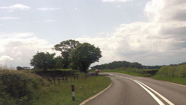
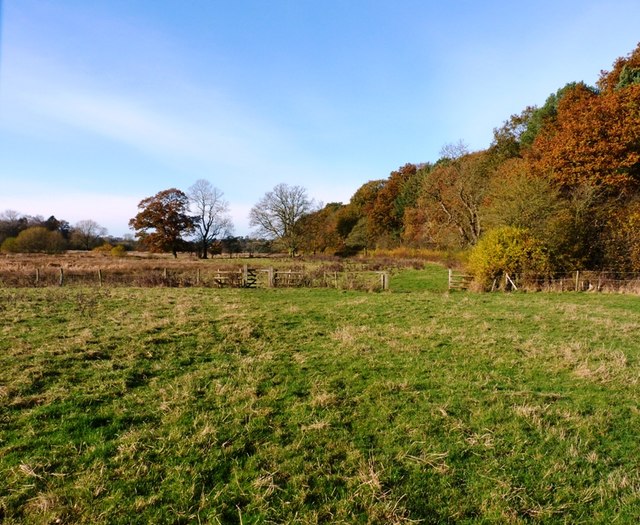
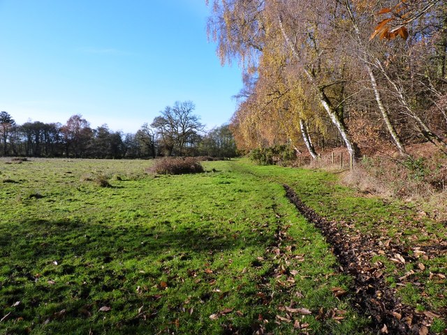
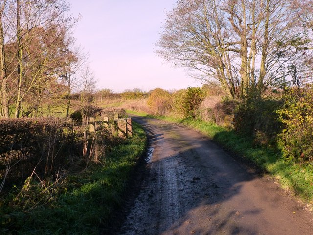
Gardener's Wood is a picturesque forest located in Staffordshire, England. Covering an area of approximately 100 acres, this woodland is a haven for nature enthusiasts and outdoor lovers alike. The wood is situated on the outskirts of the village of Stafford and offers a tranquil escape from the hustle and bustle of city life.

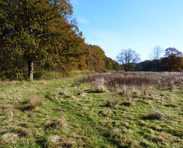
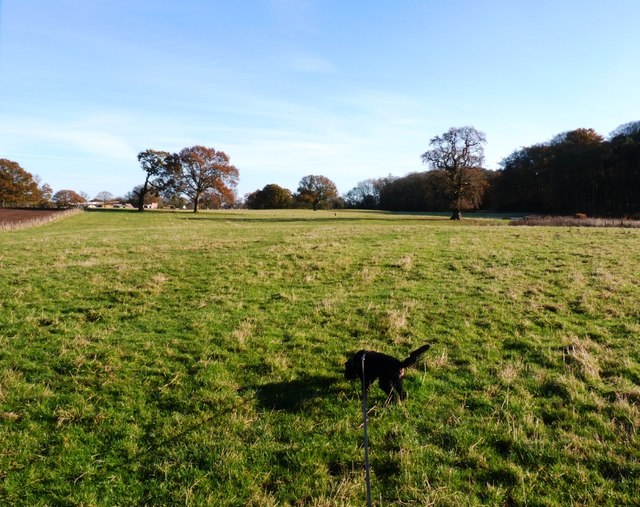
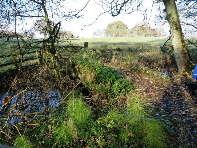
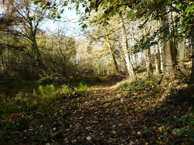
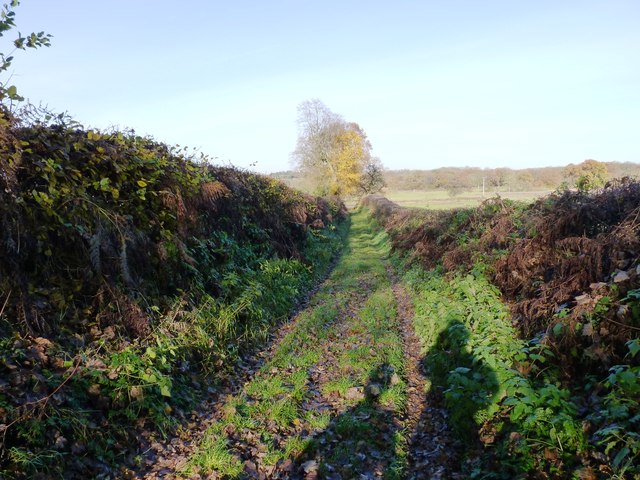
The forest is characterized by its dense canopy of oak, beech, and birch trees, which provide shade and shelter for a variety of wildlife. Visitors can explore the numerous walking trails that wind through the wood, immersing themselves in the natural beauty of the surroundings. These trails cater to all levels of fitness and range from leisurely strolls to more challenging hikes.

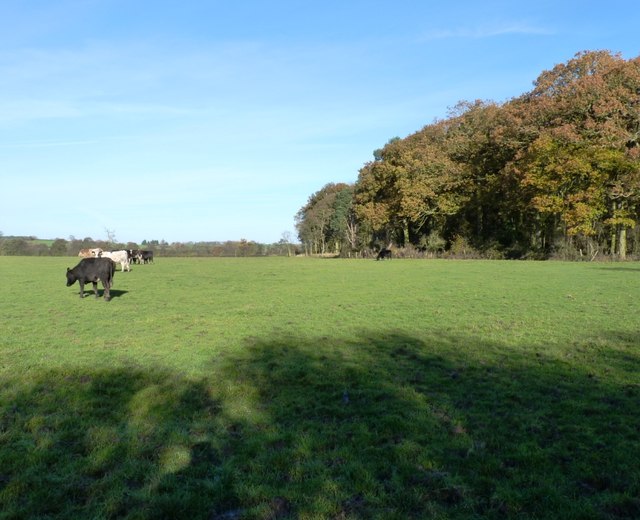
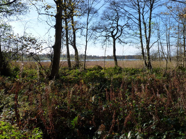
Gardener's Wood is home to a diverse range of flora and fauna. Wildflowers carpet the forest floor in the spring, creating a vibrant burst of color. The wood is also inhabited by a variety of bird species, including woodpeckers, owls, and songbirds. Lucky visitors may even spot deer or foxes roaming through the undergrowth.

In addition to its natural beauty, Gardener's Wood offers various recreational activities. Picnic areas dotted throughout the forest provide the perfect spot for a leisurely lunch, while designated camping sites allow visitors to spend a night under the stars. Wildlife enthusiasts can take advantage of the numerous bird-watching hides strategically placed within the wood.

Overall, Gardener's Wood is a treasured natural gem in Staffordshire, offering a peaceful retreat and a chance to connect with nature.

If you have any feedback on the listing, please let us know in the comments section below.

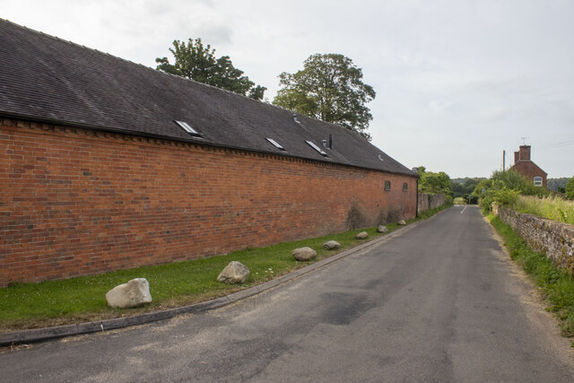
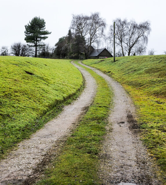
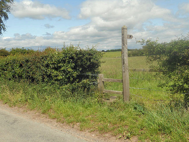
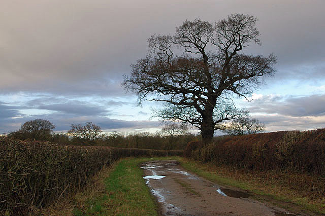
Gardener's Wood Images

Images are sourced within 2km of 52.771632/-2.32719 or Grid Reference SJ7819. Thanks to Geograph Open Source API. All images are credited.

Tinwood Bank Woodland at Tinwood Bank
Tinwood Bank
Woodland at Tinwood Bank
Coley Mill Farm Converted vernacular farm building at Coley Mill Farm
Coley Mill Farm
Converted vernacular farm building at Coley Mill Farm
Access road for Hilltop House Hilltop House is at the top of the drive, partly concealed by trees; it's not quite at the top of the hill - there's higher ground just beyond at the summit which has a trig point.
The road is also the route of a public footpath which bypasses the house on its left side.
Access road for Hilltop House
Hilltop House is at the top of the drive, partly concealed by trees; it's not quite at the top of the hill - there's higher ground just beyond at the summit which has a trig point. The road is also the route of a public footpath which bypasses the house on its left side.
Staffordshire Greenway Old abandoned railway, now a cycleway
Staffordshire Greenway
Old abandoned railway, now a cycleway
Newport to Stafford Greenway cycle path Looking east. A great cycle route along the disused railway line, there should be more of these.
Newport to Stafford Greenway cycle path
Looking east. A great cycle route along the disused railway line, there should be more of these.
Sign and stile to a public footpath
Bridleway to Pollymoor Farm
Pollymoor Farm junction from A518
The west side of Thistleyfield Covert These cattle are responsible for some fine muddy stretches in the field to the left, but this end of it seemed rather more grassy.
The west side of Thistleyfield Covert
These cattle are responsible for some fine muddy stretches in the field to the left, but this end of it seemed rather more grassy.
Bridleway on the south side of Thistleyfield Covert This area borders part of the Aqualate Mere National Nature Reserve, which surrounds the mere itself. It's leased from the estate by Natural England, and has a network of bridleways providing access around the reserve.
Bridleway on the south side of Thistleyfield Covert
This area borders part of the Aqualate Mere National Nature Reserve, which surrounds the mere itself. It's leased from the estate by Natural England, and has a network of bridleways providing access around the reserve.
Bridleway heading towards Aqualate Mere Daft Dog remains on the lead, as the next field holds a flock of sheep that he's not yet spotted.
Bridleway heading towards Aqualate Mere
Daft Dog remains on the lead, as the next field holds a flock of sheep that he's not yet spotted.
Bridleway alongside Thistleyfield Covert A good bridleway runs right along the south side of the wood, fairly firm underfoot/tyre/hoof. The same cannot be said of the same bridleway further west approaching Forton, which is a proper mud-fest in places at this time of year.
Bridleway alongside Thistleyfield Covert
A good bridleway runs right along the south side of the wood, fairly firm underfoot/tyre/hoof. The same cannot be said of the same bridleway further west approaching Forton, which is a proper mud-fest in places at this time of year.
Bridleway bridge near New Guild Although barely visible due to the undergrowth, and the fact that much of it has been washed out & collapsed, a traditional arched packhorse bridge crosses this tiny stream.
Bridleway bridge near New Guild
Although barely visible due to the undergrowth, and the fact that much of it has been washed out & collapsed, a traditional arched packhorse bridge crosses this tiny stream.
Bridleway through the woods This woodland floor is a riot of bluebells in the spring.
Bridleway through the woods
This woodland floor is a riot of bluebells in the spring.
Aqualate Mere Or, rather more accurately, a distant view of the mere. From the north side, it's actually quite hard to get to, as the mere is very shallow generally, and the shore is marshy for a long way out. So it's a case of wade, or put up with a distant view.
The mere itself is an Ice Age relic, a large kettle hole that formed when a remnant piece of the glacial icesheet remained embedded in the till, melting more slowly than the surrounding glacier. When it finally disappeared, it left a depression in the land which has been filled with water ever since.
Aqualate Mere
Or, rather more accurately, a distant view of the mere. From the north side, it's actually quite hard to get to, as the mere is very shallow generally, and the shore is marshy for a long way out. So it's a case of wade, or put up with a distant view. The mere itself is an Ice Age relic, a large kettle hole that formed when a remnant piece of the glacial icesheet remained embedded in the till, melting more slowly than the surrounding glacier. When it finally disappeared, it left a depression in the land which has been filled with water ever since.
The bridleway back towards Forton Dry and pleasant at this end where it runs through the Nature Reserve and adjacent to the woods; it's rather a quagmire in places towards Forton.
The bridleway back towards Forton
Dry and pleasant at this end where it runs through the Nature Reserve and adjacent to the woods; it's rather a quagmire in places towards Forton.
A track down to the lane A farm track, but also a part of the bridleway network that runs around the northern side of the Aqualate Park and mere.
A track down to the lane
A farm track, but also a part of the bridleway network that runs around the northern side of the Aqualate Park and mere.
The bridge over the Wood Brook
Show me another place!

Gardener's Wood is located at Grid Ref: SJ7819 (Lat: 52.771632, Lng: -2.32719)

Administrative County: Staffordshire

District: Stafford

Police Authority: Staffordshire

What 3 Words

///inversion.pronouns.printout. Near Newport, Shropshire

Nearby Locations

Gardener's Wood

Related Wikis

Back Brook, English Midlands

The Back Brook is a minor watercourse in the English counties of Shropshire and Staffordshire, in places forming the boundary between the two, and located...

Aqualate Hall

Aqualate Hall, a 20th-century country house, is located in Forton, Staffordshire, England, some 2 miles (3.2 km) east of the market town of Newport, Shropshire...

Aqualate Mere

Aqualate Mere, in Staffordshire, is the largest natural lake in the English Midlands and is managed as a national nature reserve (NNR) by Natural England...

Outwoods, Stafford

Outwoods is a hamlet in the English county of Staffordshire. Outwoods is located in the extreme west of the county near to the town of Newport, Shropshire...

Moreton, Staffordshire

Moreton is a small rural village in the borough of Stafford in Staffordshire, England, near the border with Shropshire. It lies 3.5 miles (5.6 km) south...

Beffcote

Beffcote is a village in Staffordshire, England. For the population taken at the United Kingdom Census 2011 see Gnosall.

Forton Hall

Forton Hall is a 17th-century country house situated in the village of Forton, Staffordshire, close to the Shropshire border at Newport. It is a Grade...

Newport railway station (Shropshire)

Newport (Shropshire) station was a railway station serving Newport in Shropshire. that was situated on the Stafford to Shrewsbury Line via Wellington....

Nearby Amenities

Located within 500m of 52.771632,-2.32719
Bus Stop
Outwoods Road
Bus: yes
Naptan AtcoCode: 3800C751700
Naptan Bearing: E
Naptan CommonName: Outwoods Road
Naptan Indicator: adj
Naptan Landmark: Outwoods Road
Naptan NaptanCode: stadadmp
Naptan Street: Newport Road
Naptan Verified: no
Public Transport: platform
Source: naptan_import
Lat/Long: 52.7718287/-2.3248862
Bus Stop
Outwoods Road
Bus: yes
Naptan AtcoCode: 3800C751701
Naptan Bearing: W
Naptan CommonName: Outwoods Road
Naptan Indicator: opp
Naptan Landmark: Outwoods Road
Naptan NaptanCode: stadadmt
Naptan Street: Newport Road
Naptan Verified: no
Public Transport: platform
Source: naptan_import
Lat/Long: 52.7719275/-2.3249166
Give Way
Direction: backward
Lat/Long: 52.7717257/-2.325551
The data included in this document is from www.openstreetmap.org. The data is made available under ODbL.

Have you been to Gardener's Wood?

Leave your review of Gardener's Wood below (or comments, questions and feedback).