Decoy Wood

Wood, Forest in Staffordshire Stafford

England

Decoy Wood

Staffordshire Greenway Old abandoned railway, now a cycleway
Staffordshire Greenway Credit: Rob Bainbridge

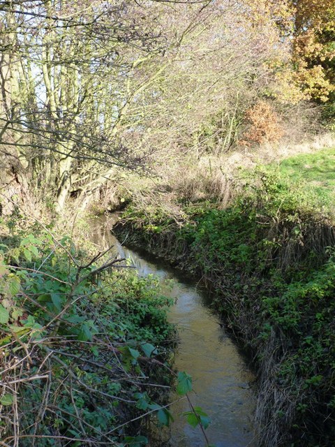
Decoy Wood is a picturesque forest located in the county of Staffordshire, England. Stretching over an area of approximately 100 acres, it is a popular destination for nature enthusiasts and outdoor adventurers alike.

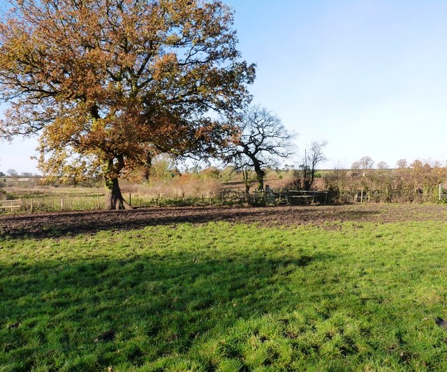
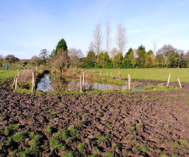
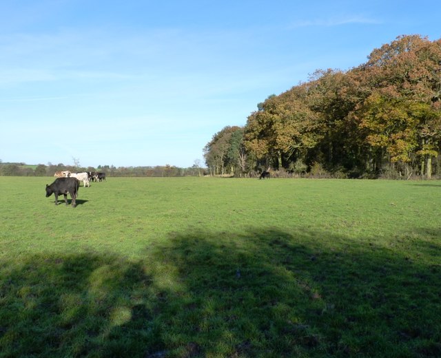
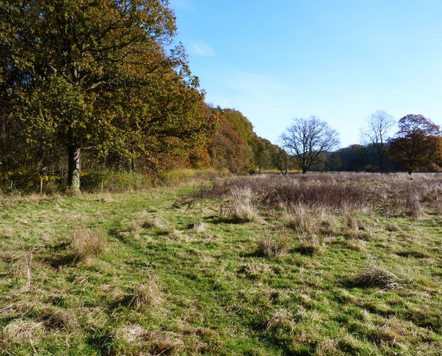
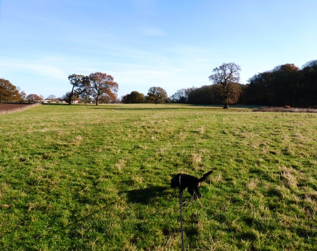
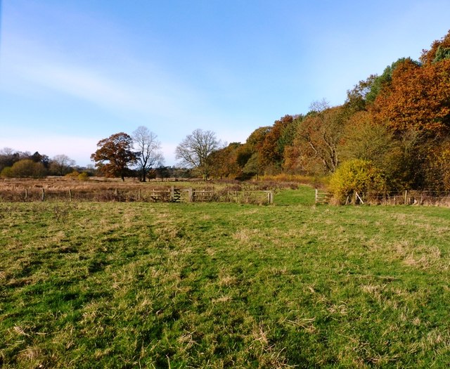
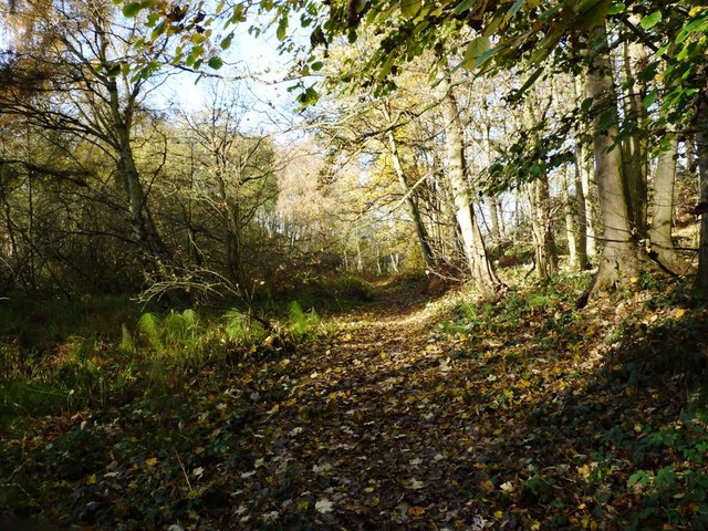
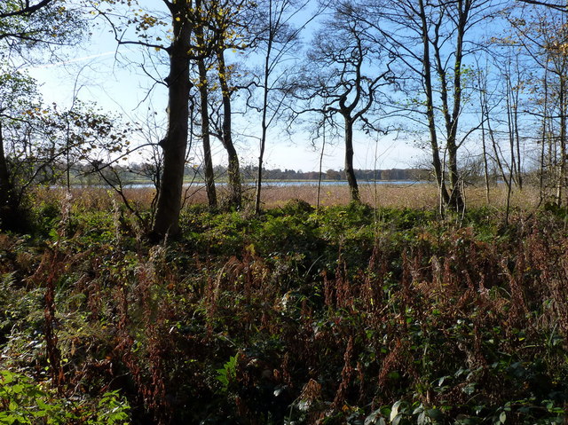
The woodland is characterized by its diverse range of tree species, including oak, birch, and beech. These trees provide a vibrant canopy, creating a tranquil and immersive environment for visitors. Decoy Wood is also home to a variety of wildlife, such as deer, foxes, and rabbits, making it an ideal spot for wildlife spotting and photography.

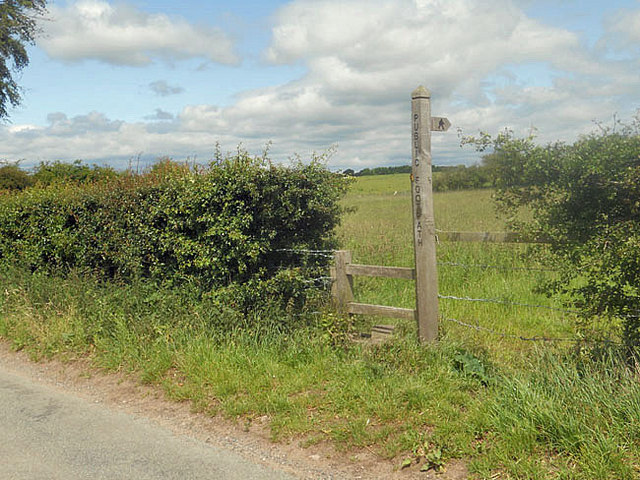
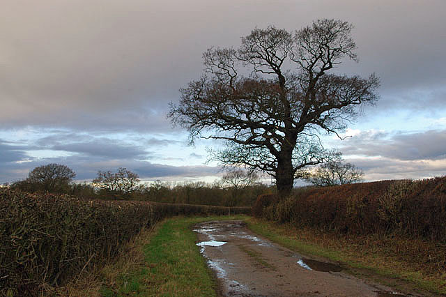
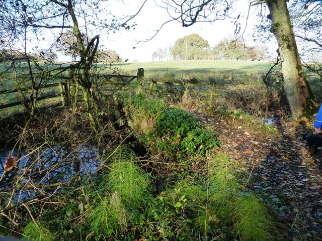
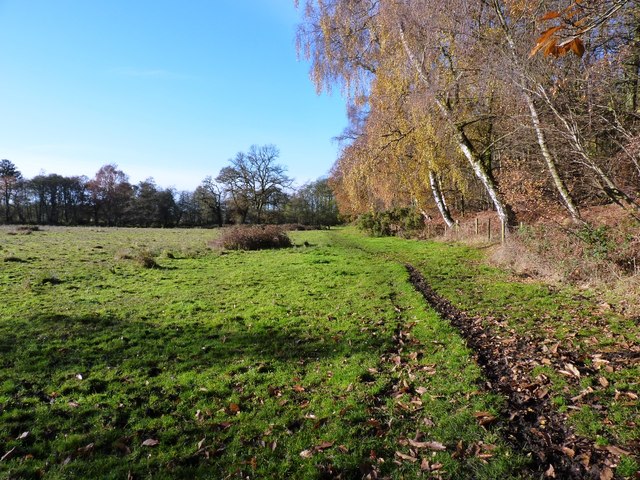
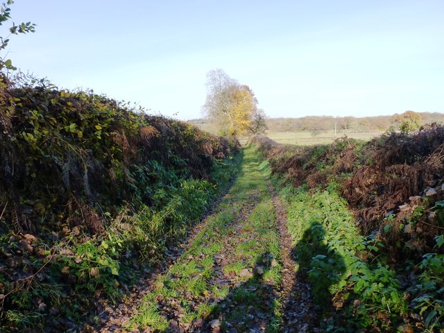
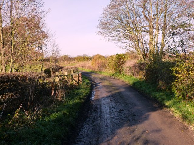
The forest offers a network of well-maintained footpaths that wind their way through the enchanting landscape. These paths provide visitors with the opportunity to explore the wood at their own pace, allowing for leisurely strolls or more vigorous hikes. Along the way, visitors can enjoy the serene ambiance and take in the natural beauty of the surroundings.

For those seeking a more immersive experience, Decoy Wood provides designated camping areas. Here, visitors can set up tents and spend the night under the starry sky, surrounded by the peaceful sounds of nature.

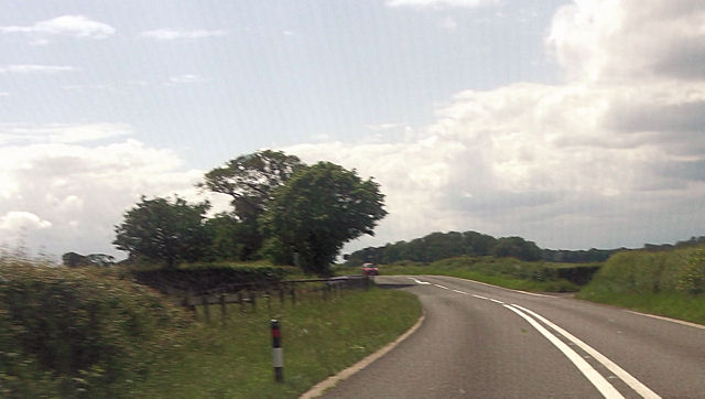
Decoy Wood is conveniently located near the town of Stafford, making it easily accessible for both local residents and tourists. The forest is a popular destination for families, couples, and solo adventurers alike, offering a serene escape from the hustle and bustle of everyday life.

Overall, Decoy Wood in Staffordshire is a picturesque and serene woodland that offers a delightful escape into nature. With its diverse flora and fauna, well-maintained footpaths, and camping facilities, it provides a perfect setting for outdoor exploration and relaxation.

If you have any feedback on the listing, please let us know in the comments section below.

Decoy Wood Images

Images are sourced within 2km of 52.7768/-2.3307273 or Grid Reference SJ7719. Thanks to Geograph Open Source API. All images are credited.

Staffordshire Greenway Old abandoned railway, now a cycleway
Staffordshire Greenway
Old abandoned railway, now a cycleway
Sign and stile to a public footpath
Bridleway to Pollymoor Farm
Pollymoor Farm junction from A518
Blacklane Bridge, Newport Branch, Shropshire Union Canal, 1965 In 1965 this abandoned canal looked as if only a little work could restore it. Sadly this is far from the case now. The bushes and mound on the right must have been bulldozed into the canal which is now level with the fields, and the lock beyond the bridge has gone, although the bridge survives, apparently in good condition. This was bridge 5 on the branch, and oddly carries Cliffs Lane, not Black Lane.
Blacklane Bridge, Newport Branch, Shropshire Union Canal, 1965
In 1965 this abandoned canal looked as if only a little work could restore it. Sadly this is far from the case now. The bushes and mound on the right must have been bulldozed into the canal which is now level with the fields, and the lock beyond the bridge has gone, although the bridge survives, apparently in good condition. This was bridge 5 on the branch, and oddly carries Cliffs Lane, not Black Lane.
Bridleway gate and fence south of Sutton Yes, it was as muddy as it looks, the cattle in the fields here had seen to that.
Bridleway gate and fence south of Sutton
Yes, it was as muddy as it looks, the cattle in the fields here had seen to that.
There's no avoiding it... Try as we might (and Daft Dog didn't try very hard), walking through here on the bridleway means that you're going to get filthy. All good fun.
There's no avoiding it...
Try as we might (and Daft Dog didn't try very hard), walking through here on the bridleway means that you're going to get filthy. All good fun.
The west side of Thistleyfield Covert These cattle are responsible for some fine muddy stretches in the field to the left, but this end of it seemed rather more grassy.
The west side of Thistleyfield Covert
These cattle are responsible for some fine muddy stretches in the field to the left, but this end of it seemed rather more grassy.
Bridleway on the south side of Thistleyfield Covert This area borders part of the Aqualate Mere National Nature Reserve, which surrounds the mere itself. It's leased from the estate by Natural England, and has a network of bridleways providing access around the reserve.
Bridleway on the south side of Thistleyfield Covert
This area borders part of the Aqualate Mere National Nature Reserve, which surrounds the mere itself. It's leased from the estate by Natural England, and has a network of bridleways providing access around the reserve.
Bridleway heading towards Aqualate Mere Daft Dog remains on the lead, as the next field holds a flock of sheep that he's not yet spotted.
Bridleway heading towards Aqualate Mere
Daft Dog remains on the lead, as the next field holds a flock of sheep that he's not yet spotted.
Bridleway alongside Thistleyfield Covert A good bridleway runs right along the south side of the wood, fairly firm underfoot/tyre/hoof. The same cannot be said of the same bridleway further west approaching Forton, which is a proper mud-fest in places at this time of year.
Bridleway alongside Thistleyfield Covert
A good bridleway runs right along the south side of the wood, fairly firm underfoot/tyre/hoof. The same cannot be said of the same bridleway further west approaching Forton, which is a proper mud-fest in places at this time of year.
Bridleway bridge near New Guild Although barely visible due to the undergrowth, and the fact that much of it has been washed out & collapsed, a traditional arched packhorse bridge crosses this tiny stream.
Bridleway bridge near New Guild
Although barely visible due to the undergrowth, and the fact that much of it has been washed out & collapsed, a traditional arched packhorse bridge crosses this tiny stream.
Bridleway through the woods This woodland floor is a riot of bluebells in the spring.
Bridleway through the woods
This woodland floor is a riot of bluebells in the spring.
Aqualate Mere Or, rather more accurately, a distant view of the mere. From the north side, it's actually quite hard to get to, as the mere is very shallow generally, and the shore is marshy for a long way out. So it's a case of wade, or put up with a distant view.
The mere itself is an Ice Age relic, a large kettle hole that formed when a remnant piece of the glacial icesheet remained embedded in the till, melting more slowly than the surrounding glacier. When it finally disappeared, it left a depression in the land which has been filled with water ever since.
Aqualate Mere
Or, rather more accurately, a distant view of the mere. From the north side, it's actually quite hard to get to, as the mere is very shallow generally, and the shore is marshy for a long way out. So it's a case of wade, or put up with a distant view. The mere itself is an Ice Age relic, a large kettle hole that formed when a remnant piece of the glacial icesheet remained embedded in the till, melting more slowly than the surrounding glacier. When it finally disappeared, it left a depression in the land which has been filled with water ever since.
The bridleway back towards Forton Dry and pleasant at this end where it runs through the Nature Reserve and adjacent to the woods; it's rather a quagmire in places towards Forton.
The bridleway back towards Forton
Dry and pleasant at this end where it runs through the Nature Reserve and adjacent to the woods; it's rather a quagmire in places towards Forton.
A track down to the lane A farm track, but also a part of the bridleway network that runs around the northern side of the Aqualate Park and mere.
A track down to the lane
A farm track, but also a part of the bridleway network that runs around the northern side of the Aqualate Park and mere.
The bridge over the Wood Brook
Wood Brook A small stream that rises over to the NE near Norbury Junction, and flows into Aqualate Mere in <a href="https://www.geograph.org.uk/gridref/SJ7720">SJ7720</a>. An old packhorse bridge crosses it in <a href="https://www.geograph.org.uk/photo/3230830">SJ7720 : Bridleway bridge near New Guild</a>
Wood Brook
A small stream that rises over to the NE near Norbury Junction, and flows into Aqualate Mere in SJ7720. An old packhorse bridge crosses it in SJ7720 : Bridleway bridge near New Guild
Show me another place!

Decoy Wood is located at Grid Ref: SJ7719 (Lat: 52.7768, Lng: -2.3307273)

Administrative County: Staffordshire

District: Stafford

Police Authority: Staffordshire

What 3 Words

///fishnet.jabs.munched. Near Newport, Shropshire

Nearby Locations

Decoy Wood The Shrubbery

Related Wikis

Back Brook, English Midlands

The Back Brook is a minor watercourse in the English counties of Shropshire and Staffordshire, in places forming the boundary between the two, and located...

Aqualate Hall

Aqualate Hall, a 20th-century country house, is located in Forton, Staffordshire, England, some 2 miles (3.2 km) east of the market town of Newport, Shropshire...

Aqualate Mere

Aqualate Mere, in Staffordshire, is the largest natural lake in the English Midlands and is managed as a national nature reserve (NNR) by Natural England...

Outwoods, Stafford

Outwoods is a hamlet in the English county of Staffordshire. Outwoods is located in the extreme west of the county near to the town of Newport, Shropshire...

Forton Hall

Forton Hall is a 17th-century country house situated in the village of Forton, Staffordshire, close to the Shropshire border at Newport. It is a Grade...

Forton, Staffordshire

Forton is a small village and civil parish in Staffordshire, England, situated east of the market town of Newport, Shropshire. The civil Parish population...

Gnosall Rural District

Gnosall was a rural district in Staffordshire, England from 1894 to 1934. It was formed under the Local Government Act 1894 from that part of the Newport...

Newport railway station (Shropshire)

Newport (Shropshire) station was a railway station serving Newport in Shropshire. that was situated on the Stafford to Shrewsbury Line via Wellington....

Nearby Amenities

Located within 500m of 52.7768,-2.3307273
Source: landsat
Lat/Long: 52.778001/-2.3371105
Source: landsat
Lat/Long: 52.7809767/-2.331223
Source: landsat
Lat/Long: 52.7801197/-2.3295896
Source: landsat
Lat/Long: 52.7789159/-2.3275316
Source: landsat
Lat/Long: 52.7779976/-2.3300081
Source: landsat
Lat/Long: 52.7777263/-2.3311046
Source: landsat
Lat/Long: 52.7779647/-2.3329911
Building: yes
Leisure: bird_hide
Lat/Long: 52.7789421/-2.3273588
Turning Circle
Lat/Long: 52.774583/-2.3367622
The data included in this document is from www.openstreetmap.org. The data is made available under ODbL.

Have you been to Decoy Wood?

Leave your review of Decoy Wood below (or comments, questions and feedback).