Birks Wood
Wood, Forest in Staffordshire Newcastle-under-Lyme
England
Birks Wood

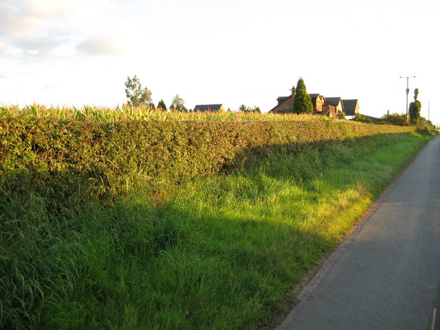
Birks Wood is a picturesque woodland located in Staffordshire, England. Covering an area of approximately 100 acres, it is nestled within the beautiful countryside and surrounded by rolling hills. The wood is primarily composed of broadleaf trees, including oak, beech, and birch, which create a stunning canopy overhead. The forest floor is adorned with a variety of wildflowers and ferns, adding to the natural charm of the area.
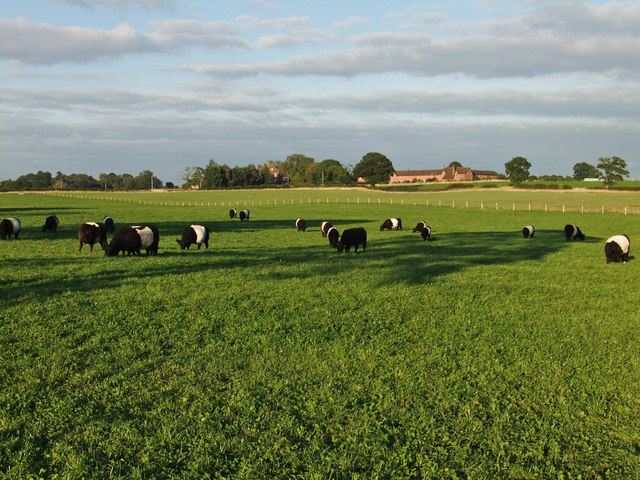
Birks Wood is renowned for its biodiversity, providing a habitat for numerous species of birds, mammals, and insects. It is a popular destination for birdwatchers, with sightings of species such as woodpeckers, owls, and various songbirds. The wood is also home to several mammals, including deer, foxes, and squirrels, which can often be spotted by keen observers.
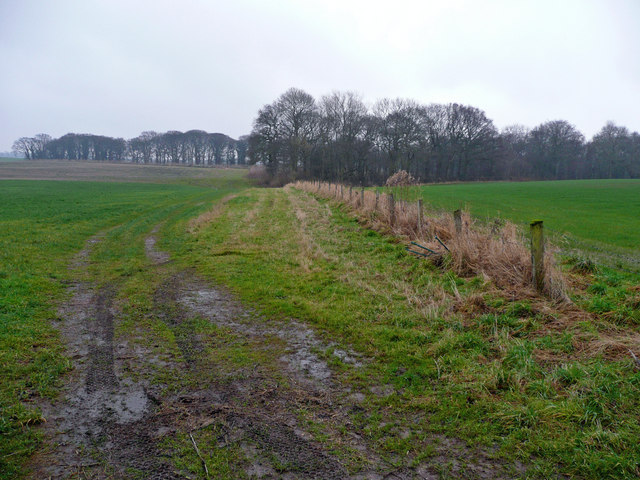
Visitors to Birks Wood can explore its many walking trails, offering the opportunity to immerse themselves in the tranquil surroundings and enjoy the peaceful ambiance of the forest. The wood is well-maintained, with clear paths and signposts to guide visitors through its various sections.
In addition to its natural beauty, Birks Wood also holds historical significance. The remains of an ancient settlement and a Roman road have been discovered within the woodland, providing evidence of human activity in the area dating back centuries.
Overall, Birks Wood is a captivating destination for nature enthusiasts, offering a serene escape from the bustling modern world. With its diverse wildlife, scenic trails, and rich history, it is a must-visit location for anyone seeking a connection with nature and a glimpse into the past.
If you have any feedback on the listing, please let us know in the comments section below.
Birks Wood Images
Images are sourced within 2km of 53.052322/-2.3344606 or Grid Reference SJ7750. Thanks to Geograph Open Source API. All images are credited.


Birks Wood is located at Grid Ref: SJ7750 (Lat: 53.052322, Lng: -2.3344606)
Administrative County: Staffordshire
District: Newcastle-under-Lyme
Police Authority: Staffordshire
What 3 Words
///plenty.crucially.commuted. Near Audley, Staffordshire
Nearby Locations
Related Wikis

Balterley
Balterley is a village and civil parish in the borough of Newcastle-under-Lyme in Staffordshire, England. According to the 2001 census it had a population...
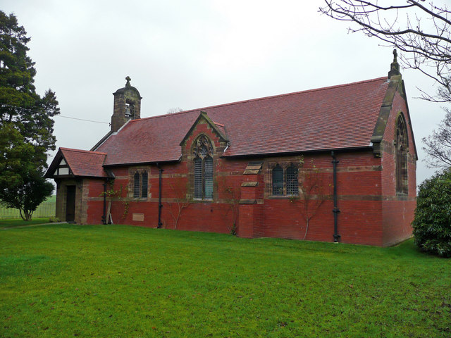
All Saints Church, Balterley
All Saints Church is in the village of Balterley, Staffordshire, England. It is an active Anglican parish church in the deanery of Congleton, the archdeaconry...
Balterley Green
Balterley Green is a village in Staffordshire, England. The population at the 2011 population can be found under Balterley
Audley Rural
Audley Rural is a parish of Staffordshire, England, located four miles to the north-west of the town of Newcastle-under-Lyme. It is predominantly a rural...

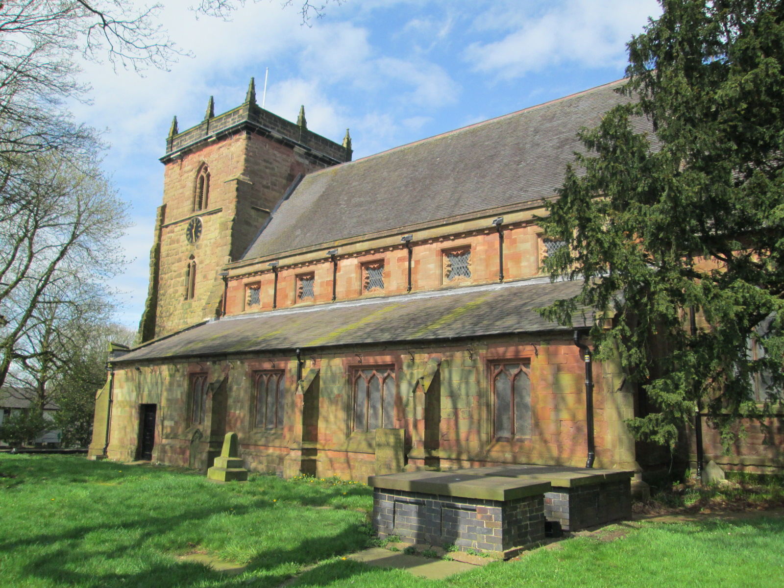
St Bertoline's Church, Barthomley
St Bertoline's Church is in the village of Barthomley, Cheshire, England. The church is recorded in the National Heritage List for England as a designated...

Barthomley
Barthomley is a village and ancient parish, and is now a civil parish in the unitary authority of Cheshire East and the ceremonial county of Cheshire...
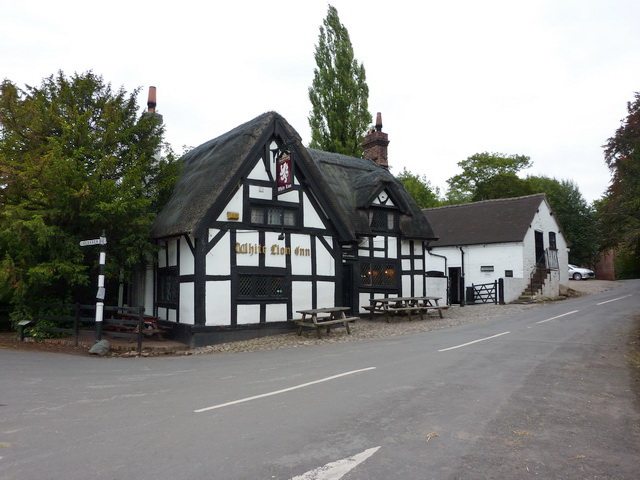
White Lion, Barthomley
The White Lion is a public house in Barthomley, Cheshire, England, just off junction 16 of the M6. It was built in 1614, and is recorded in the National...
Audley, Staffordshire
Audley is a large village and former civil parish, now in the parish of Audley Rural, in the Newcastle-under-Lyme district, in Staffordshire, England....
Nearby Amenities
Located within 500m of 53.052322,-2.3344606Have you been to Birks Wood?
Leave your review of Birks Wood below (or comments, questions and feedback).