Camn Plantation

Wood, Forest in Yorkshire Ribble Valley

England

Camn Plantation

Ordnance Survey Cut Mark This mark can be found on a gatepost at the entrance to a track off Holden Lane, Threap Green.
The benchmark has a recorded height of 248.1377 metres above sea level.
For more detail see : <span class="nowrap"><a title="https://www.bench-marks.org.uk/bm152218" rel="nofollow ugc noopener" href="https://www.bench-marks.org.uk/bm152218">Link</a><img style="margin-left:2px;" alt="External link" title="External link - shift click to open in new window" src="https://s1.geograph.org.uk/img/external.png" width="10" height="10"/></span>
Ordnance Survey Cut Mark Credit: Peter Wood

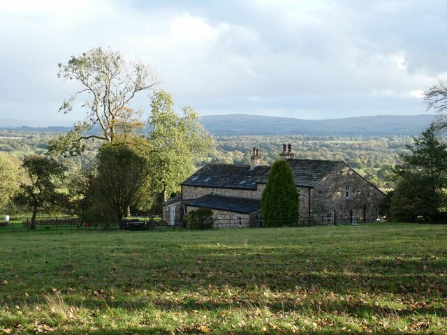
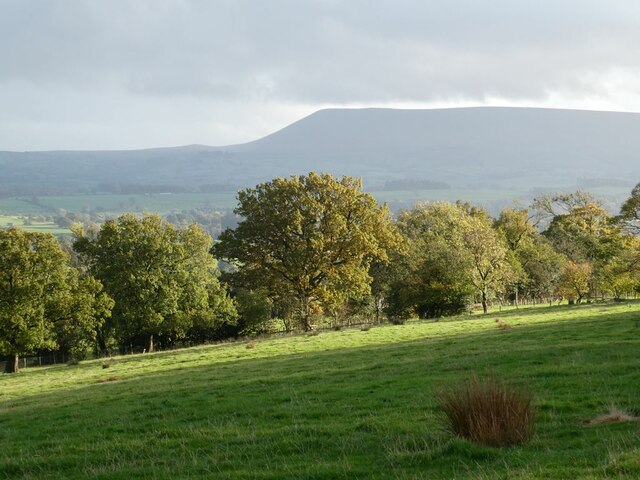
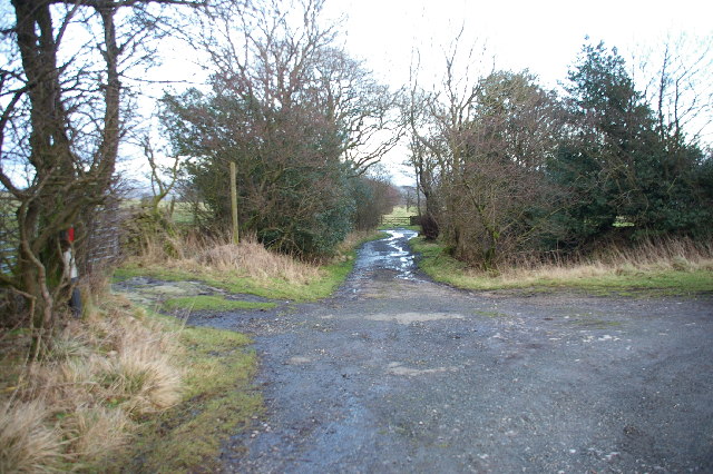
Camn Plantation is a beautiful woodland area located in the heart of Yorkshire, England. Spread over a vast expanse, this plantation is renowned for its lush greenery, diverse flora, and serene atmosphere. Nestled amidst the rolling hills and picturesque landscapes of Yorkshire, Camn Plantation is a haven for nature enthusiasts, hikers, and those seeking a peaceful retreat.

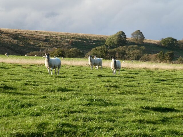
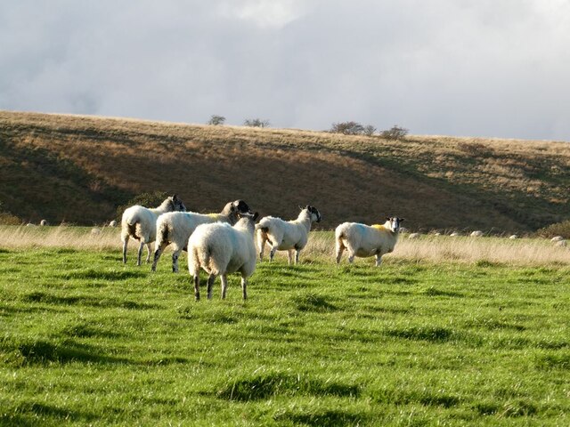
The woodland of Camn Plantation boasts a rich variety of trees, including oak, beech, and birch, creating a dense canopy that provides shade and shelter for numerous species of wildlife. It is not uncommon to spot deer, squirrels, and a plethora of bird species while exploring the plantation. The forest floor is blanketed with a carpet of wildflowers and ferns, creating a vibrant and enchanting environment.

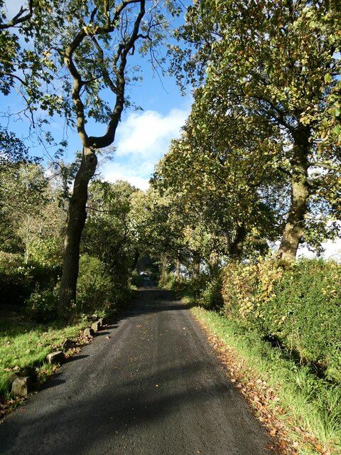
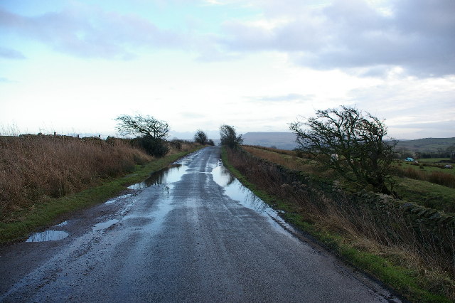
Visitors to Camn Plantation are treated to a network of well-maintained trails that wind through the woodland, offering stunning views and opportunities for exploration. These trails cater to various levels of difficulty, ensuring that visitors of all ages and abilities can enjoy the plantation.

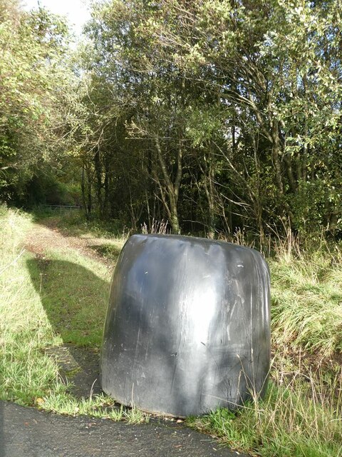
Beyond its natural beauty, Camn Plantation also holds historical significance. The woodland was once a thriving timber plantation, providing wood for various industries in the region. Evidence of this can still be seen in the remnants of old sawmills and logging tracks that were once used to transport timber.

Whether one seeks solitude in nature, a chance to observe wildlife, or simply a place to unwind and reconnect with the outdoors, Camn Plantation in Yorkshire offers an idyllic setting that captivates and rejuvenates all who visit.

If you have any feedback on the listing, please let us know in the comments section below.

Camn Plantation Images

Images are sourced within 2km of 53.960203/-2.3488993 or Grid Reference SD7751. Thanks to Geograph Open Source API. All images are credited.

Ordnance Survey Cut Mark This mark can be found on a gatepost at the entrance to a track off Holden Lane, Threap Green.
The benchmark has a recorded height of 248.1377 metres above sea level.
For more detail see : <span class="nowrap"><a title="https://www.bench-marks.org.uk/bm152218" rel="nofollow ugc noopener" href="https://www.bench-marks.org.uk/bm152218">Link</a><img style="margin-left:2px;" alt="External link" title="External link - shift click to open in new window" src="https://s1.geograph.org.uk/img/external.png" width="10" height="10"/></span>
Ordnance Survey Cut Mark
This mark can be found on a gatepost at the entrance to a track off Holden Lane, Threap Green. The benchmark has a recorded height of 248.1377 metres above sea level. For more detail see : LinkExternal link
Ash tree, cabin and sheep Near Springside Farm on Knotts Lane.
Ash tree, cabin and sheep
Near Springside Farm on Knotts Lane.
Knotts Lane near Varley's Farm A very minor road running up the west side of the valley of Holden Beck.
Knotts Lane near Varley's Farm
A very minor road running up the west side of the valley of Holden Beck.
Broad Ing Farm Commanding an extensive view over the valley of the Holden Beck.
Broad Ing Farm
Commanding an extensive view over the valley of the Holden Beck.
Sheep in field beside Knotts Lane Near Witton's Farm
Sheep in field beside Knotts Lane
Near Witton's Farm
View south from Knotts Lane Pendle Hill <a href="https://www.geograph.org.uk/gridref/SD7754">SD7754</a> dominates the skyline.
View south from Knotts Lane
Pendle Hill SD7754 dominates the skyline.
Knotts Lane Sunny intervals and black clouds looming.
Knotts Lane
Sunny intervals and black clouds looming.
Field beside Knotts Lane On the lower slopes of Knotts Hill.
Field beside Knotts Lane
On the lower slopes of Knotts Hill.
Wary sheep In a field beside Knotts Lane.
Wary sheep
In a field beside Knotts Lane.
A very effective road block A hay bale has been strategically placed across the top of this footpath to Wittons Farm to prevent access by motor vehicles.
A very effective road block
A hay bale has been strategically placed across the top of this footpath to Wittons Farm to prevent access by motor vehicles.
Bin day At the head of the drive to Little Holme Farm and Big Holme Farm on Knotts Lane.
Bin day
At the head of the drive to Little Holme Farm and Big Holme Farm on Knotts Lane.
Wittons Farm Wittons Farm below the field. Ray Head Farm beyond and to the left.
Wittons Farm
Wittons Farm below the field. Ray Head Farm beyond and to the left.
View from Knotts Lane Looking across the broad valley of the Holden Beck.
View from Knotts Lane
Looking across the broad valley of the Holden Beck.
Trees beside Knotts Lane
Highland cow Boococks Farm in the background.
Highland cow
Boococks Farm in the background.
Highland cattle near Boococks Farm
After the storm ( Holden Lane) Looking SE towards Anna Lane Head
After the storm ( Holden Lane)
Looking SE towards Anna Lane Head
Anna Lane Head Looking east down the old road (bridle way) which leads down too Broad Ing
Anna Lane Head
Looking east down the old road (bridle way) which leads down too Broad Ing
Show me another place!

Camn Plantation is located at Grid Ref: SD7751 (Lat: 53.960203, Lng: -2.3488993)

Division: West Riding

Administrative County: Lancashire

District: Ribble Valley

Police Authority: Lancashire

What 3 Words

///youths.wire.cartoons. Near Chatburn, Lancashire

Nearby Locations

Camn Plantation

Related Wikis

Bolton-by-Bowland

Bolton-by-Bowland is a village and civil parish in the Ribble Valley district of Lancashire, England. Before 1974, the village was part of Bowland Rural...

St Peter and St Paul's Church, Bolton-by-Bowland

St Peter and St Paul's Church is in Gisburn Road, Bolton-by-Bowland, Lancashire, England. It is an active Anglican parish church in the deanery of Whalley...

Manor House, Gisburn Forest

Manor House is an historic building in Gisburn Forest, Lancashire, England. It was built in the early 18th century, but contains a section that is believed...

Skirden Beck

Skirden Beck is a minor river in Lancashire, England (historically in the West Riding of Yorkshire). It is approximately 4.3 miles (6.85 km) long and has...

Nearby Amenities

Located within 500m of 53.960203,-2.3488993
Ford: yes
Lat/Long: 53.9598329/-2.3490869
Power: pole
Lat/Long: 53.9627972/-2.3427218
Power: pole
Lat/Long: 53.9621944/-2.3422846
Power: pole
Lat/Long: 53.9612507/-2.3415819
The data included in this document is from www.openstreetmap.org. The data is made available under ODbL.

Have you been to Camn Plantation?

Leave your review of Camn Plantation below (or comments, questions and feedback).