Lodge Plantations
Wood, Forest in Staffordshire Stafford
England
Lodge Plantations
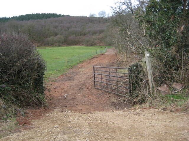
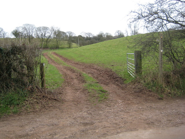
Lodge Plantations, located in the county of Staffordshire, England, is a stunning woodland area spanning across vast acres of land. Nestled within the heart of the county, this forested landscape offers a plethora of natural beauty and recreational opportunities.
Comprising a mix of native deciduous and evergreen trees, Lodge Plantations boasts a diverse range of flora and fauna. The woodland is home to various species, including oak, birch, beech, and pine trees, creating a picturesque and tranquil atmosphere. The forest floor is adorned with a vibrant carpet of wildflowers, adding to the area's charm.
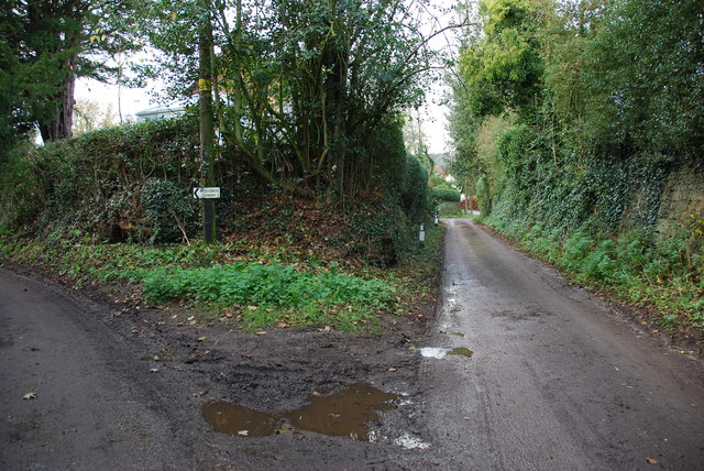
Visitors to Lodge Plantations can enjoy a range of outdoor activities. A network of well-maintained footpaths and trails allows for leisurely walks, hikes, and cycling expeditions, offering breathtaking views at every turn. The forest is teeming with wildlife, making it a haven for birdwatchers and nature enthusiasts.
Lodge Plantations also offers designated picnic areas, where families and friends can relax and soak in the natural surroundings. Additionally, the forest is equipped with facilities for camping and barbecues, allowing visitors to extend their stay and immerse themselves in the peaceful ambiance.
With its convenient location and accessibility, Lodge Plantations attracts both locals and tourists throughout the year. The forest holds particular allure during the autumn months, when the trees transform into a kaleidoscope of radiant colors, creating a truly enchanting scene.
Whether seeking adventure, tranquility, or simply a connection with nature, Lodge Plantations in Staffordshire is a destination that promises to captivate and rejuvenate all who visit.
If you have any feedback on the listing, please let us know in the comments section below.
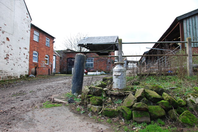
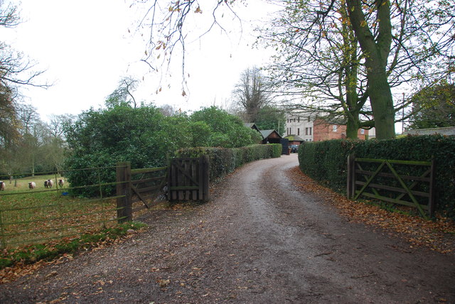
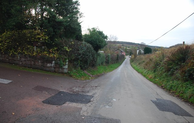
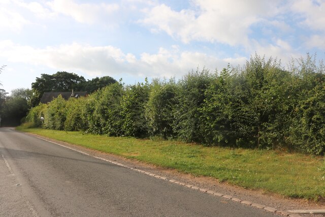
Lodge Plantations Images
Images are sourced within 2km of 52.884997/-2.3403632 or Grid Reference SJ7732. Thanks to Geograph Open Source API. All images are credited.


Lodge Plantations is located at Grid Ref: SJ7732 (Lat: 52.884997, Lng: -2.3403632)
Administrative County: Staffordshire
District: Stafford
Police Authority: Staffordshire
What 3 Words
///taking.works.bulbs. Near Standon, Staffordshire
Nearby Locations
Related Wikis

Armsdale
Armsdale is a village in Staffordshire, England. Population details for the 2011 census can be found under Eccleshall.
Croxton, Staffordshire
Croxton is a village on the B5026 between Eccleshall and Loggerheads. Population details for the 2011 census can be found under Eccleshall. It is notable...
Outlands, Staffordshire
Outlands is a hamlet in the English county of Staffordshire. It lies 1 km eas of Bishop's Offley. == External links == Map sources for Outlands, Staffordshire
Jackson's Coppice and Marsh
Jackson's Coppice and Marsh is a nature reserve of the Staffordshire Wildlife Trust. It is along the River Sow, near the village of Bishop's Offley and...

Cop Mere
Cop Mere is one of the largest natural bodies of water in Staffordshire, England, covering 42 acres (17 ha). It has been designated a SSSI as an oligotrophic...
Offleyhay
Offleyhay is a village in Staffordshire, England. The population as taken at the 2011 census can be found under Eccleshall. == References ==

Adbaston
Adbaston is a village and a civil parish in the English county of Staffordshire. == Location == The village is 13 miles (20.9 km) north east of the town...

Ashley, Staffordshire
Ashley is a village and former civil parish, now in the parish of Loggerheads, in the Newcastle-under-Lyme district, in the county of Staffordshire, England...
Nearby Amenities
Located within 500m of 52.884997,-2.3403632Have you been to Lodge Plantations?
Leave your review of Lodge Plantations below (or comments, questions and feedback).