Hope Head Plantation

Wood, Forest in Northumberland

England

Hope Head Plantation

Outbuilding at Monk An outbuilding at Monk Farm.
Outbuilding at Monk Credit: Colin Kinnear

The requested URL returned error: 429 Too Many Requests

If you have any feedback on the listing, please let us know in the comments section below.

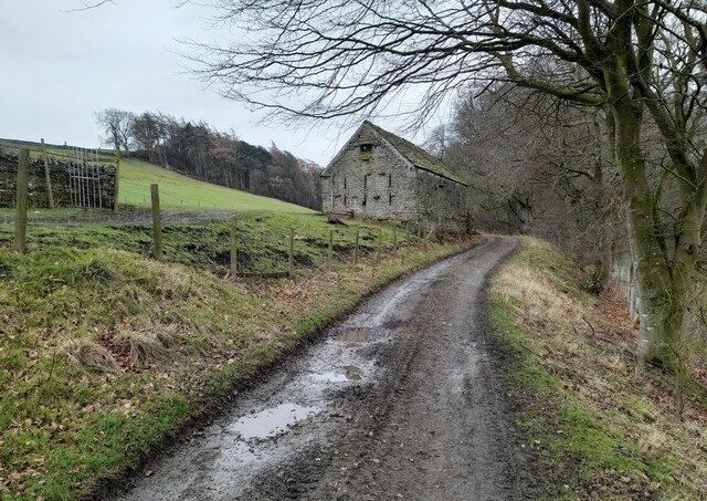
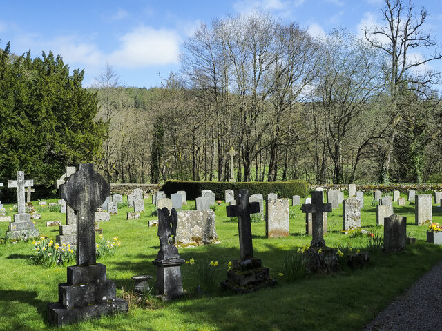
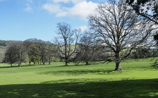
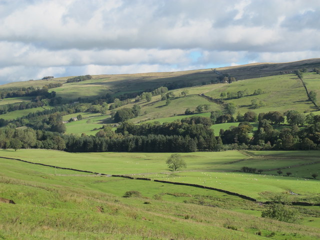
Hope Head Plantation Images

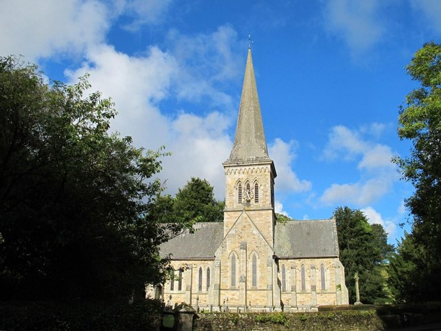
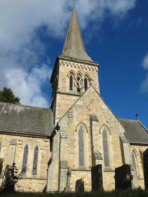
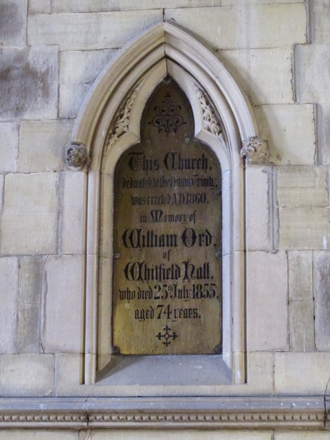
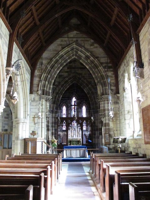
Images are sourced within 2km of 54.891376/-2.362534 or Grid Reference NY7655. Thanks to Geograph Open Source API. All images are credited.

Outbuilding at Monk An outbuilding at Monk Farm.
Outbuilding at Monk
An outbuilding at Monk Farm.
Gravestones at Holy Trinity Church, Whitfield Part of the graveyard on the south side of Holy Trinity Church in Whitfield, a small, estate village in West Allendale. The war memorial rises above all other memorials at the centre of the image where there's hedging.
Gravestones at Holy Trinity Church, Whitfield
Part of the graveyard on the south side of Holy Trinity Church in Whitfield, a small, estate village in West Allendale. The war memorial rises above all other memorials at the centre of the image where there's hedging.
Scattered trees in parkland These trees are in the valley of the River West Allen just north of Carr's Burn and are on the parkland at Whitfield Hall.
Curiously many of the trees, perhaps all of them, have a 'skirt' of stones around the bases of their trunks, surely placed there purposely. It's well seen in the nearest specimen and must be to afford some kind of protection.
Scattered trees in parkland
These trees are in the valley of the River West Allen just north of Carr's Burn and are on the parkland at Whitfield Hall. Curiously many of the trees, perhaps all of them, have a 'skirt' of stones around the bases of their trunks, surely placed there purposely. It's well seen in the nearest specimen and must be to afford some kind of protection.
Misty Whitfield Evening Misty evening passing through Whitfield with an old church in the background
Misty Whitfield Evening
Misty evening passing through Whitfield with an old church in the background
West Allendale north of Ninebanks
Holy Trinity Church, Whitfield The church was the gift of the Reverend and Mrs J A Blackett Ord, in memory of her uncle William Ord from whom she inherited the Whitfield Estate - see <a href="https://www.geograph.org.uk/photo/3179342">NY7756 : Holy Trinity Church, Whitfield- memorial plaque to William Ord</a>. The church is in Early English style, built 1859-60 by A.B. Higham of Wakefield and Newcastle, and is Grade II* listed <span class="nowrap"><a title="http://www.britishlistedbuildings.co.uk/en-240316-church-of-the-holy-trinity-plenmeller-wi" rel="nofollow ugc noopener" href="http://www.britishlistedbuildings.co.uk/en-240316-church-of-the-holy-trinity-plenmeller-wi">Link</a><img style="margin-left:2px;" alt="External link" title="External link - shift click to open in new window" src="https://s1.geograph.org.uk/img/external.png" width="10" height="10"/></span> .
Holy Trinity Church, Whitfield
The church was the gift of the Reverend and Mrs J A Blackett Ord, in memory of her uncle William Ord from whom she inherited the Whitfield Estate - see NY7756 : Holy Trinity Church, Whitfield- memorial plaque to William Ord. The church is in Early English style, built 1859-60 by A.B. Higham of Wakefield and Newcastle, and is Grade II* listed LinkExternal link .
The spire of Holy Trinity Church, Whitfield See <a href="https://www.geograph.org.uk/photo/3179331">NY7756 : Holy Trinity Church, Whitfield</a>.
The spire of Holy Trinity Church, Whitfield
Holy Trinity Church, Whitfield- memorial plaque to William Ord See <a href="https://www.geograph.org.uk/photo/3179331">NY7756 : Holy Trinity Church, Whitfield</a>.
Holy Trinity Church, Whitfield- memorial plaque to William Ord
Holy Trinity Church, Whitfield - nave See <a href="https://www.geograph.org.uk/photo/3179331">NY7756 : Holy Trinity Church, Whitfield</a>.
Holy Trinity Church, Whitfield - nave
Holy Trinity Church, Whitfield - west end and font See <a href="https://www.geograph.org.uk/photo/3179331">NY7756 : Holy Trinity Church, Whitfield</a>. Shows the location of <a href="https://www.geograph.org.uk/photo/3179342">NY7756 : Holy Trinity Church, Whitfield- memorial plaque to William Ord</a>.
Holy Trinity Church, Whitfield - west end and font
Holy Trinity Church, Whitfield - font The location of the font is shown in <a href="https://www.geograph.org.uk/photo/3179348">NY7756 : Holy Trinity Church, Whitfield - west end and font</a>. See <a href="https://www.geograph.org.uk/photo/3179331">NY7756 : Holy Trinity Church, Whitfield</a>.
Holy Trinity Church, Whitfield - font
Holy Trinity Church, Whitfield - pulpit See <a href="https://www.geograph.org.uk/photo/3179331">NY7756 : Holy Trinity Church, Whitfield</a>.
Holy Trinity Church, Whitfield - pulpit
Holy Trinity Church, Whitfield - nave (2) See <a href="https://www.geograph.org.uk/photo/3179331">NY7756 : Holy Trinity Church, Whitfield</a>. Looking back WSW from the chancel arch.
Holy Trinity Church, Whitfield - nave (2)
See NY7756 : Holy Trinity Church, Whitfield. Looking back WSW from the chancel arch.
Holy Trinity Church, Whitfield - organ See <a href="https://www.geograph.org.uk/photo/3179331">NY7756 : Holy Trinity Church, Whitfield</a>.
Holy Trinity Church, Whitfield - organ
Holy Trinity Church, Whitfield - organ (2) See <a href="https://www.geograph.org.uk/photo/3179331">NY7756 : Holy Trinity Church, Whitfield</a>.
Holy Trinity Church, Whitfield - organ (2)
Holy Trinity Church, Whitfield - chancel See <a href="https://www.geograph.org.uk/photo/3179331">NY7756 : Holy Trinity Church, Whitfield</a>.
Holy Trinity Church, Whitfield - chancel
Holy Trinity Church, Whitfield - north aisle See <a href="https://www.geograph.org.uk/photo/3179331">NY7756 : Holy Trinity Church, Whitfield</a>.
Holy Trinity Church, Whitfield - north aisle
Holy Trinity Church, Whitfield - stained glass window See <a href="https://www.geograph.org.uk/photo/3179331">NY7756 : Holy Trinity Church, Whitfield</a>.
Holy Trinity Church, Whitfield - stained glass window
Show me another place!

Hope Head Plantation is located at Grid Ref: NY7655 (Lat: 54.891376, Lng: -2.362534)

Unitary Authority: Northumberland

Police Authority: Northumbria

What 3 Words

///rise.stays.necklaces. Near Bardon Mill, Northumberland

Nearby Locations

Hope Head Plantation

Related Wikis

Ninebanks

Ninebanks is a small village in south west Northumberland, England in the North Pennines Area of Outstanding Natural Beauty 8 miles (13 km) north-east...

Bearsbridge

Bearsbridge is a village in Northumberland, in England. It is situated to the west of Hexham, on the A686. == Governance == Bearsbridge is in the parliamentary...

Ouston, Ninebanks

Ouston is a small settlement in south west Northumberland, England in the North Pennines Area of Outstanding Natural Beauty 8 miles (13 km) north-east...

Whitfield, Northumberland

Whitfield is a village and former civil parish, now in the parish of Plenmeller with Whitfield, in the county of Northumberland, England about 10 miles...

Have you been to Hope Head Plantation?

Leave your review of Hope Head Plantation below (or comments, questions and feedback).