Broomhill Coppice
Wood, Forest in Worcestershire Malvern Hills
England
Broomhill Coppice
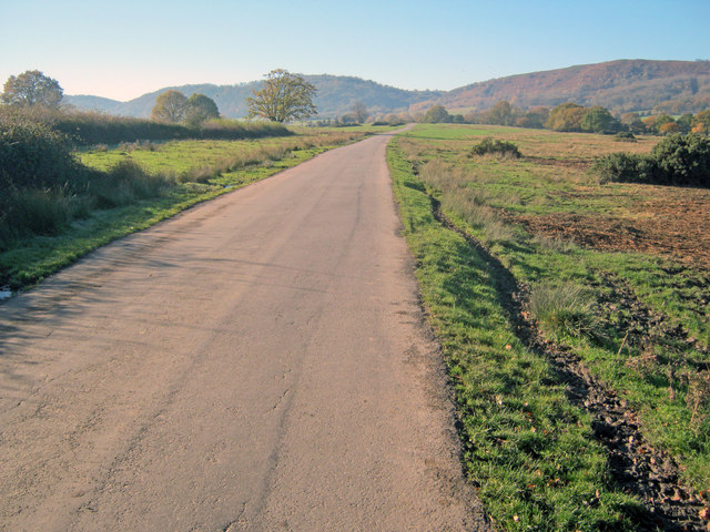
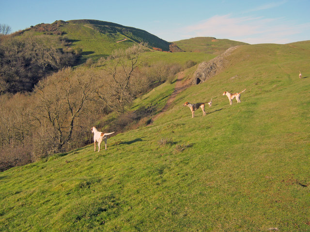
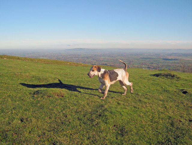
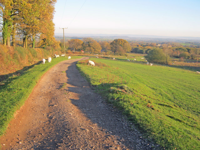
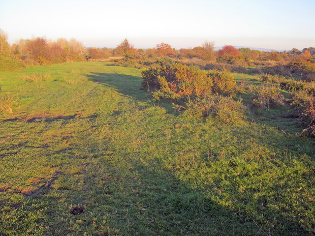
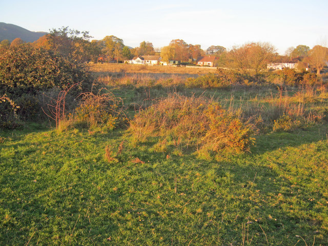
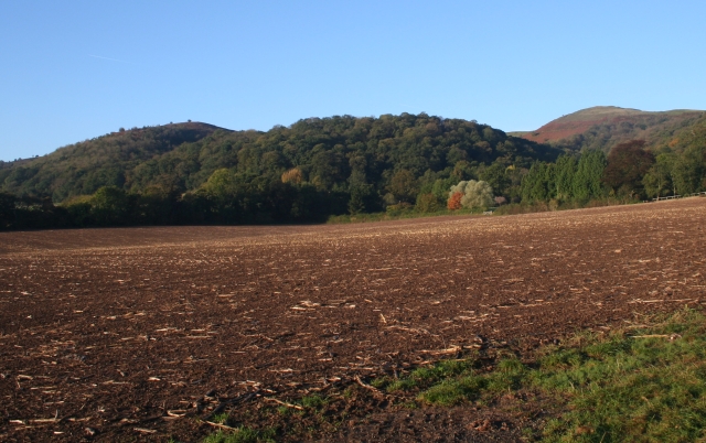
Broomhill Coppice, located in Worcestershire, is a beautiful woodland area that covers approximately 30 acres. This enchanting coppice is situated near the village of Broomhill, offering visitors a tranquil and scenic retreat. It is known for its diverse range of flora and fauna, making it a popular destination for nature enthusiasts and hikers.
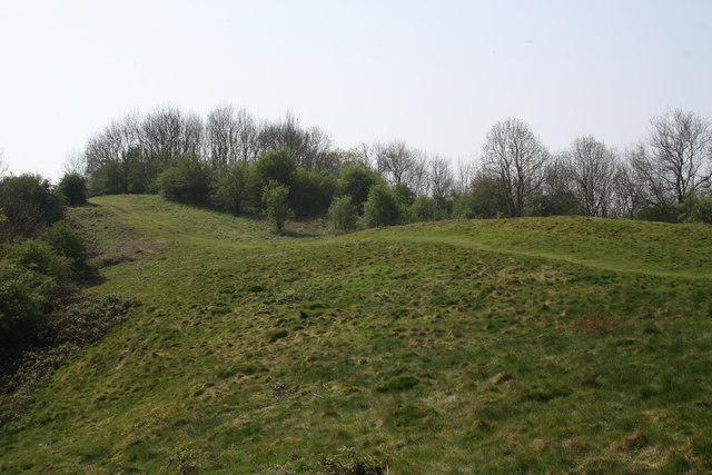
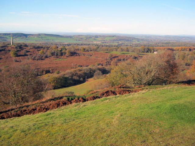
The coppice is predominantly made up of deciduous trees, including oak, ash, and beech, which create a dense canopy that provides shade and shelter for the woodland floor. The forest floor is covered in a rich carpet of bluebells and wildflowers during the spring, making it a picturesque sight for visitors.
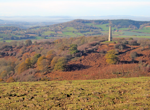
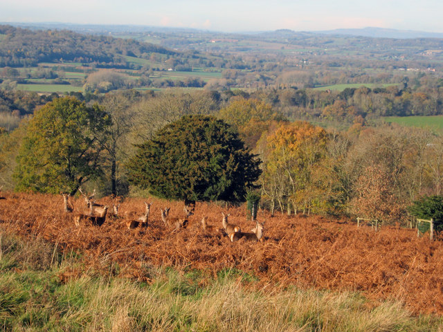
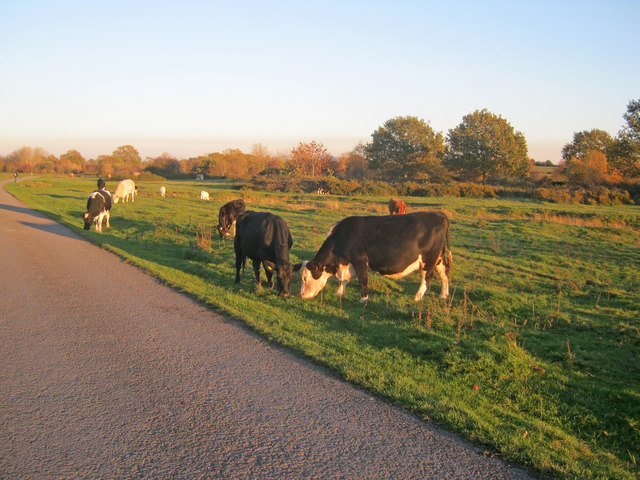
The biodiversity within Broomhill Coppice is impressive, with a variety of bird species, such as woodpeckers and owls, calling the woodland their home. The woodland is also home to small mammals like squirrels and rabbits, as well as various insects and butterflies. The presence of these creatures adds to the charm and natural beauty of the area.
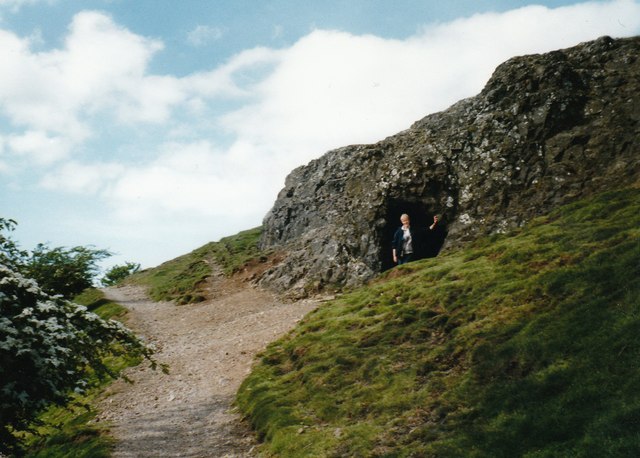
Visitors to Broomhill Coppice can enjoy leisurely walks along its well-marked trails, which wind through the trees and offer glimpses of the surrounding countryside. The peaceful atmosphere and the sound of birdsong make it an ideal place for relaxation and reflection.
Overall, Broomhill Coppice in Worcestershire is a magical woodland retreat that offers a haven for nature lovers. Its diverse range of flora and fauna, combined with its peaceful ambiance, makes it a must-visit destination for anyone seeking solace in the beauty of nature.
If you have any feedback on the listing, please let us know in the comments section below.
Broomhill Coppice Images
Images are sourced within 2km of 52.047769/-2.3392106 or Grid Reference SO7638. Thanks to Geograph Open Source API. All images are credited.

Broomhill Coppice is located at Grid Ref: SO7638 (Lat: 52.047769, Lng: -2.3392106)
Administrative County: Worcestershire
District: Malvern Hills
Police Authority: West Mercia
What 3 Words
///carbon.options.clef. Near Ledbury, Herefordshire
Nearby Locations
Related Wikis

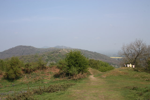
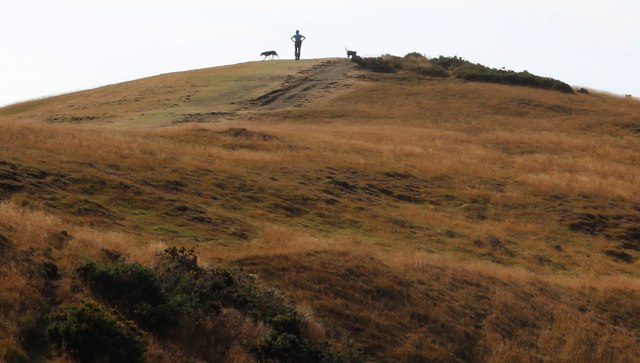
Swinyard Hill
Swinyard Hill is a hill in the Malvern Range, a line of hills that runs approximately 13 kilometres (8 mi) north-south along the Herefordshire-Worcestershire...
Tinkers Hill
Tinkers Hill is situated in the range of Malvern Hills that runs about 13 kilometres (8 mi) north-south along the Herefordshire-Worcestershire border....

Castlemorton Common Festival
The Castlemorton Common Festival was a week-long free festival and rave held in the Malvern Hills near Malvern, Worcestershire, England between 22 and...

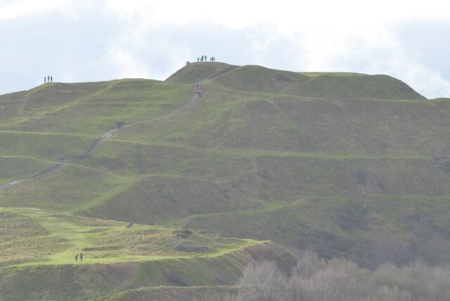
British Camp
British Camp is an Iron Age hill fort located at the top of Herefordshire Beacon in the Malvern Hills. The hill fort is protected as a Scheduled Ancient...
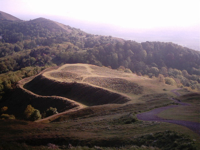
Herefordshire Beacon
The Herefordshire Beacon is one of the highest peaks of the Malvern Hills. It is surrounded by a British Iron Age hill fort earthwork known as British...

Little Malvern
Little Malvern is a small village and civil parish in Worcestershire, England. It is situated on the lower slopes of the Malvern Hills, south of Malvern...
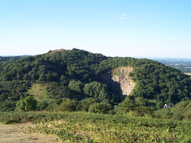
Midsummer Hill
Midsummer Hill is situated in the range of Malvern Hills that runs approximately 13 kilometres (8 mi) north-south along the Herefordshire-Worcestershire...
Hollybush Hill
Hollybush Hill is situated in the range of Malvern Hills that runs approximately 13 kilometres (8 mi) north–south along the Herefordshire–Worcestershire...
Nearby Amenities
Located within 500m of 52.047769,-2.3392106Have you been to Broomhill Coppice?
Leave your review of Broomhill Coppice below (or comments, questions and feedback).