Hang Wood
Wood, Forest in Somerset
England
Hang Wood

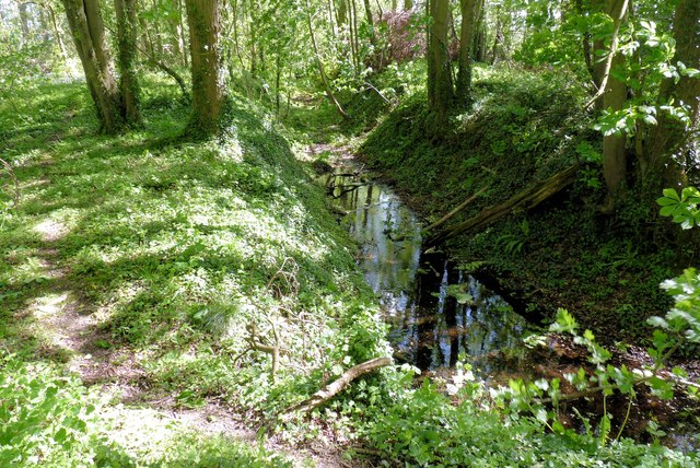
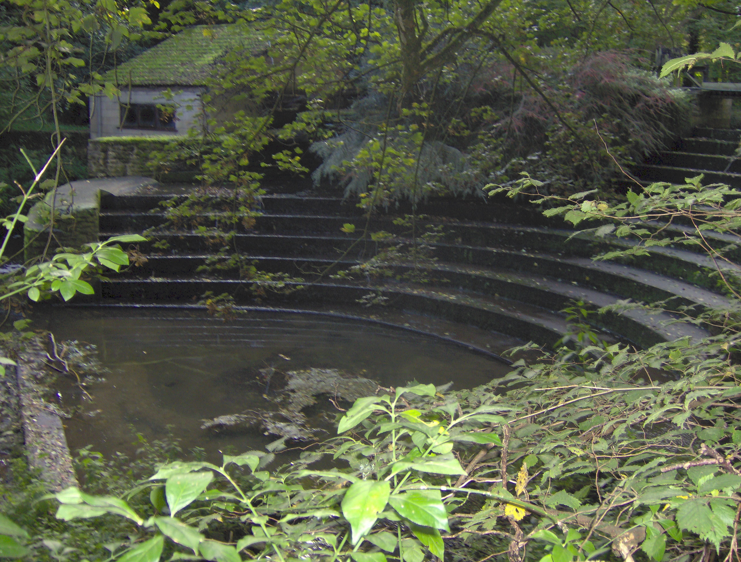
Hang Wood is a picturesque woodland located in Somerset, England. Spanning an area of approximately 100 acres, it is a popular destination for nature enthusiasts and outdoor lovers. The wood is situated near the village of Wood, offering easy access to visitors from the local area and beyond.
The woodland is characterized by its diverse range of tree species, including oak, beech, ash, and birch. These trees create a dense canopy, providing shade and shelter for a variety of wildlife that call Hang Wood their home. Visitors can expect to see an array of bird species, such as woodpeckers, owls, and songbirds, as well as small mammals like squirrels and rabbits.
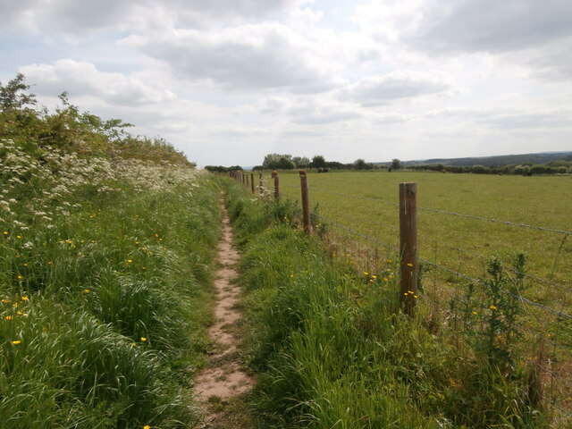
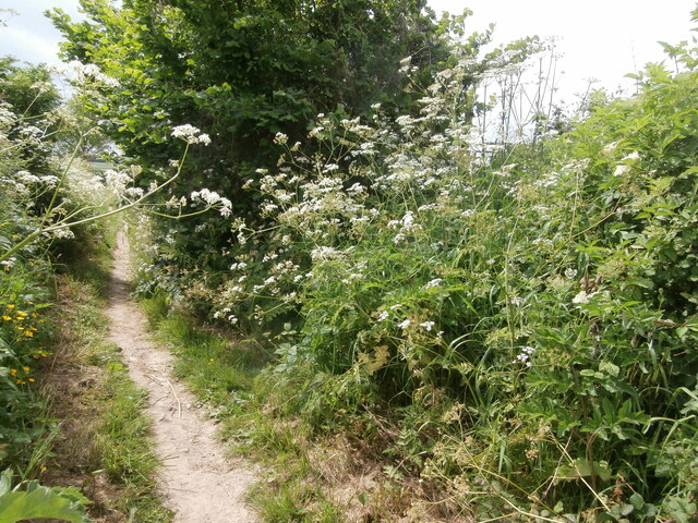
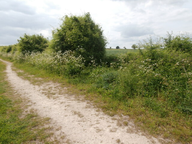
There are several well-maintained trails throughout the wood, allowing visitors to explore its beauty at their own pace. These pathways wind through the trees, offering glimpses of sunlight filtering through the leaves and creating a tranquil atmosphere. Along the trails, visitors can also find informative signs that provide details about the different tree species and wildlife found in the wood.
Hang Wood is not only a place of natural beauty but also holds historical significance. It is believed that the wood has been in existence for hundreds of years and may have been used for timber production in the past. Today, it serves as a protected area for wildlife conservation and provides a peaceful retreat for those seeking a connection with nature.
Overall, Hang Wood in Somerset is a captivating woodland that offers a serene escape for visitors. Its diverse flora and fauna, well-marked trails, and historical significance make it a must-visit destination for nature lovers in the area.
If you have any feedback on the listing, please let us know in the comments section below.
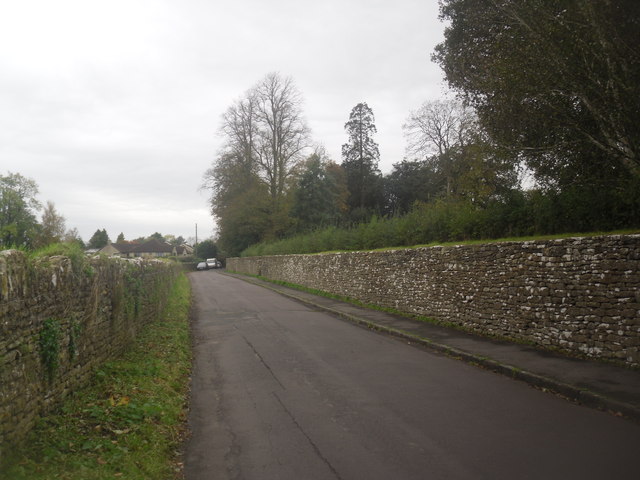
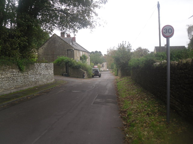
Hang Wood Images
Images are sourced within 2km of 51.332438/-2.3356383 or Grid Reference ST7659. Thanks to Geograph Open Source API. All images are credited.


Hang Wood is located at Grid Ref: ST7659 (Lat: 51.332438, Lng: -2.3356383)
Unitary Authority: Bath and North East Somerset
Police Authority: Avon and Somerset
What 3 Words
///grunt.collides.slang. Near Hinton Charterhouse, Somerset
Nearby Locations
Related Wikis
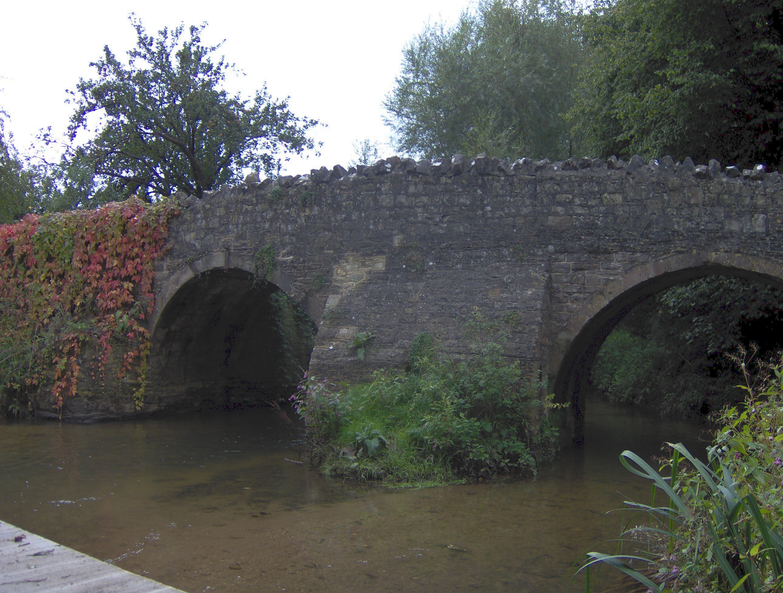
Wellow Brook
The Wellow Brook is a small river in Somerset, England. It rises near Ston Easton Park in the village of Ston Easton and flows east to Midsomer Norton...
Cam Brook
The Cam brook is a small river in Somerset, England. It rises near Hinton Blewitt, flows through Cameley, Temple Cloud, Camerton, Dunkerton and Combe Hay...
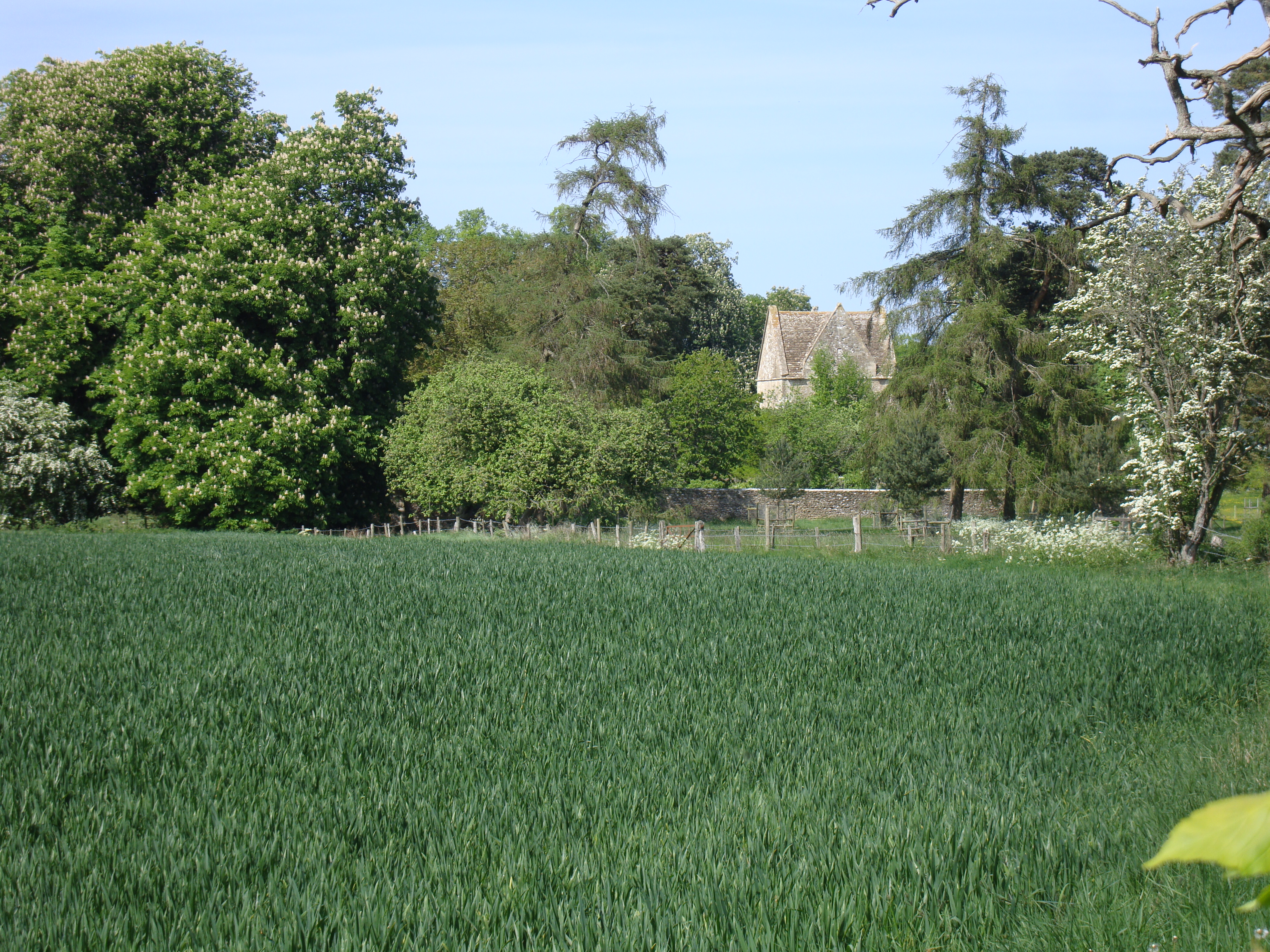
Hinton Priory
Hinton Priory was a Carthusian monastery in northeast Somerset, England, from 1232 until 1539. == History == The priory was one of the ten medieval Carthusian...
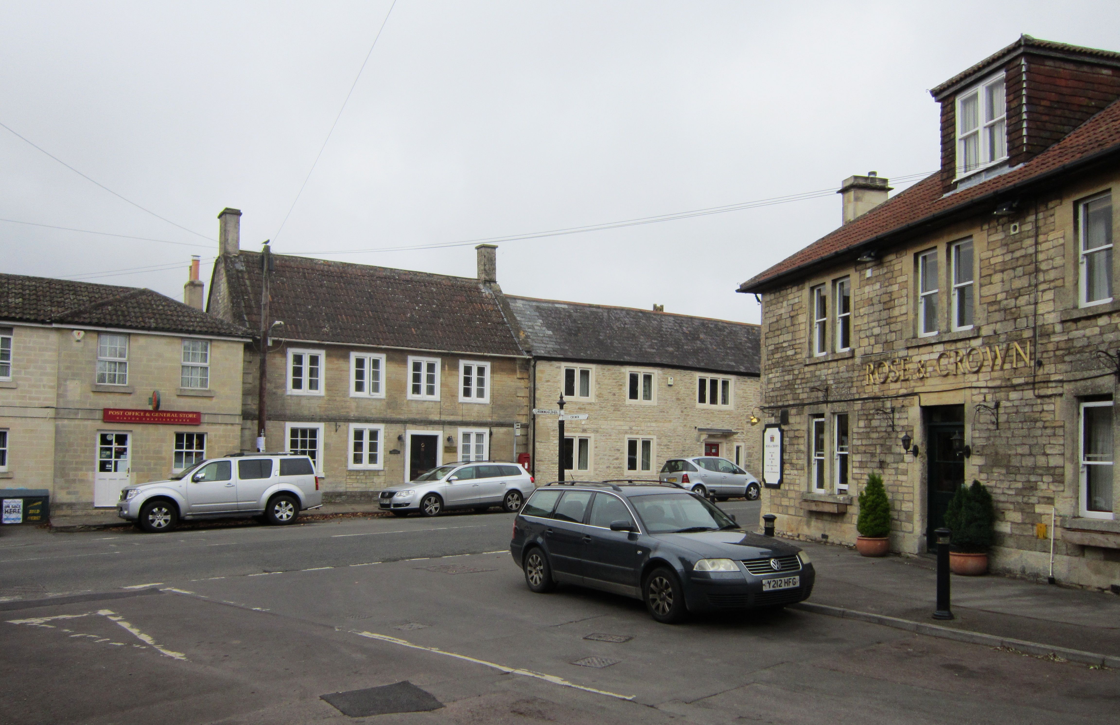
Hinton Charterhouse
Hinton Charterhouse is a small village and civil parish in the Bath and North East Somerset unitary authority, Somerset, England. The parish, which includes...

Hinton House, Hinton Charterhouse
Hinton House in Hinton Charterhouse, Somerset, England was built around 1700. It is a Grade II* listed building. == History == The house was built around...

Church of St John the Baptist, Hinton Charterhouse
The Church of St John the Baptist is an Anglican parish church in Hinton Charterhouse, Somerset, England. It was built in the 12th century and has been...

Hinton Hill, Wellow
Hinton Hill, Wellow (grid reference ST757582) is a 0.25 hectare geological Site of Special Scientific Interest (SSSI) near the village of Wellow in Somerset...

Midford railway station
Midford railway station was a single-platform station on the Bath extension of the Somerset and Dorset Railway, just to the north of the point where the...
Nearby Amenities
Located within 500m of 51.332438,-2.3356383Have you been to Hang Wood?
Leave your review of Hang Wood below (or comments, questions and feedback).