Craddock

Settlement in Devon Mid Devon

England

Craddock

Uffculme : The Square Looking towards a tree in the Square.
Uffculme : The Square Credit: Lewis Clarke

Craddock is a small village located in the county of Devon, in the southwestern part of England. Situated near the town of Okehampton, Craddock is nestled amidst the picturesque landscape of Dartmoor National Park, offering residents and visitors breathtaking natural beauty.

The village is known for its tranquil and idyllic setting, with charming thatched cottages and historic buildings that exude a sense of rustic charm. The local community in Craddock is close-knit and friendly, creating a welcoming atmosphere for all who come to visit.

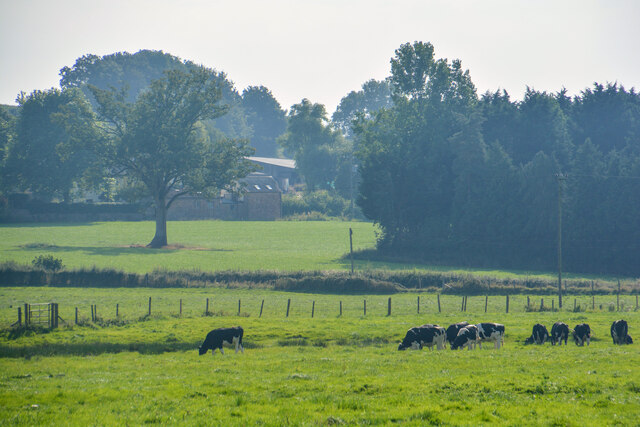
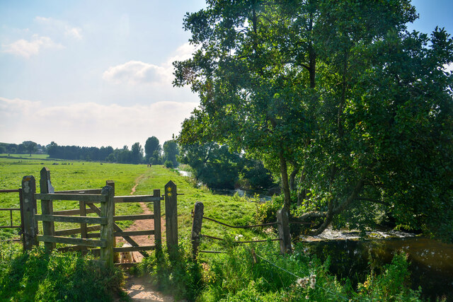
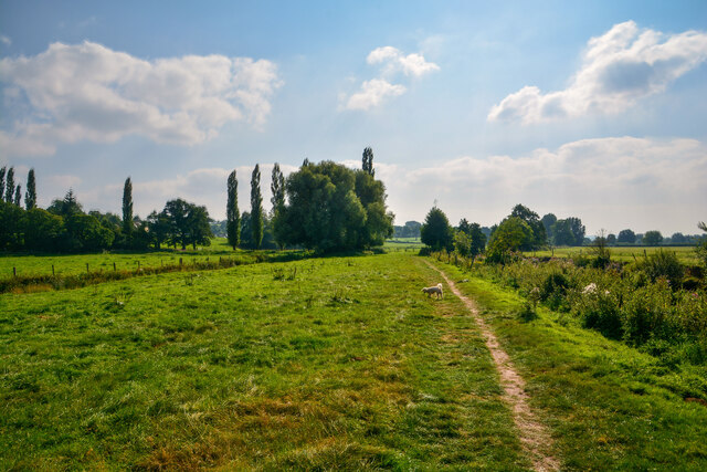
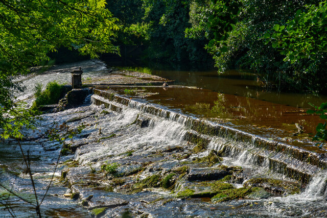
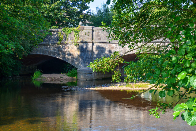
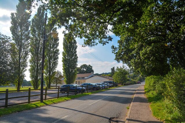
Craddock is well-positioned for those who enjoy outdoor activities, with Dartmoor National Park on its doorstep. This provides ample opportunities for hiking, cycling, and horseback riding, allowing visitors to explore the stunning moorland, ancient woodlands, and crystal-clear rivers that define the region.

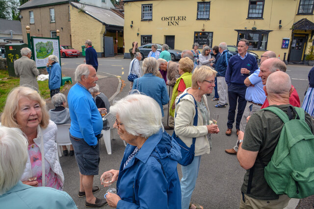
Despite its small size, Craddock offers a range of amenities to cater to both residents and tourists. The village has a local pub that serves traditional British cuisine and a selection of fine ales, providing a cozy spot to relax after a day of exploring. Additionally, there are several bed and breakfast establishments in the area, ensuring comfortable accommodation for those wishing to stay longer.

Overall, Craddock offers a peaceful retreat from the hustle and bustle of city life. Its natural beauty, friendly community, and proximity to Dartmoor National Park make it a desirable destination for nature enthusiasts and those seeking a rural escape.

If you have any feedback on the listing, please let us know in the comments section below.
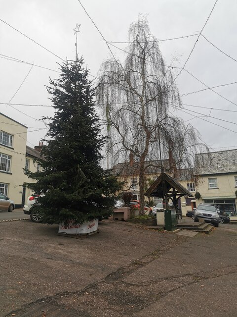
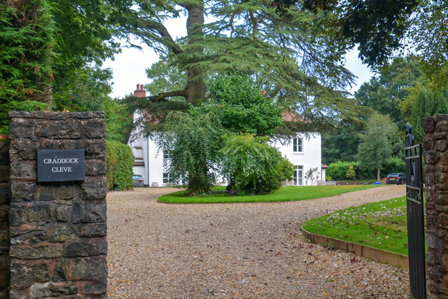
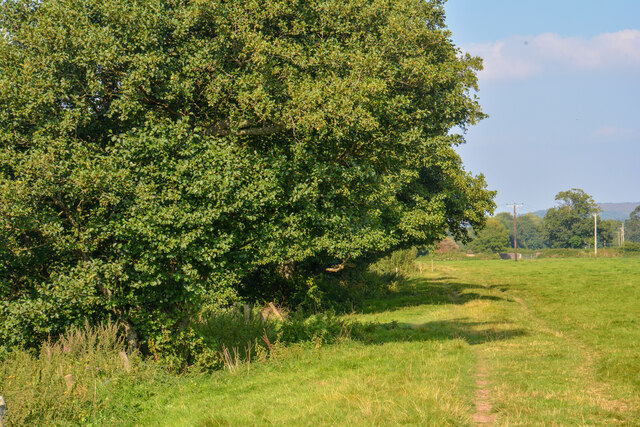
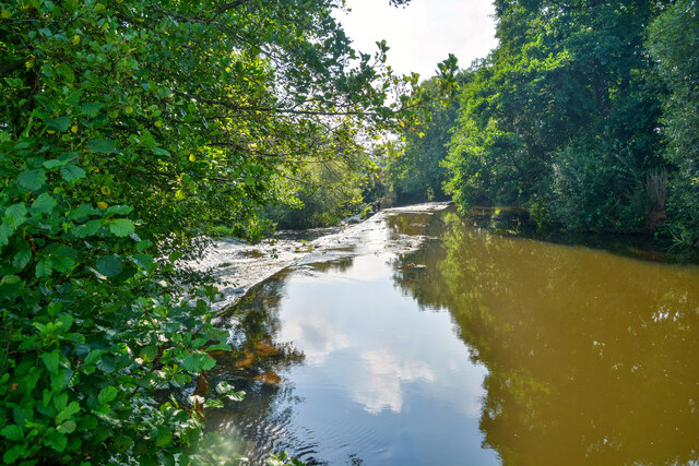
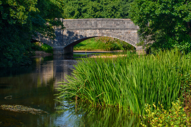
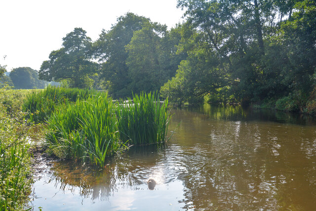
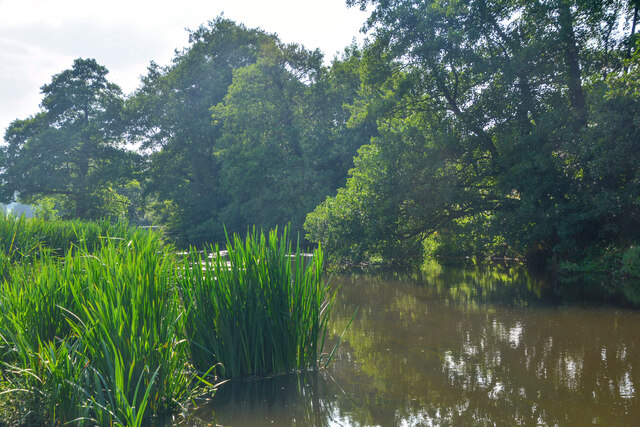
Craddock Images

Images are sourced within 2km of 50.902831/-3.303381 or Grid Reference ST0812. Thanks to Geograph Open Source API. All images are credited.

Uffculme : The Square Looking towards a tree in the Square.
Uffculme : The Square
Looking towards a tree in the Square.
Old Bridge Marker on Bridge Street, Uffculme County Bridge Marker on the southwest side of Bridge Street, against the front wall of No.17. Uffculme parish. Inscribed C to mark the extent of roadway adjoining Uffculme Bridge that the County was obliged to maintain.

Milestone Society National ID: DV_UCAH01br
Old Bridge Marker on Bridge Street, Uffculme
County Bridge Marker on the southwest side of Bridge Street, against the front wall of No.17. Uffculme parish. Inscribed C to mark the extent of roadway adjoining Uffculme Bridge that the County was obliged to maintain. Milestone Society National ID: DV_UCAH01br
Uffculme : Grassy Field A grassy field with a right of way heading through it.
Uffculme : Grassy Field
A grassy field with a right of way heading through it.
Uffculme : Grassy Field & Cattle Cows in a grassy field.
Uffculme : Grassy Field & Cattle
Cows in a grassy field.
Uffculme : Grassy Field A grassy field with a right of way heading through it.
Uffculme : Grassy Field
A grassy field with a right of way heading through it.
Uffculme : Grassy Field A grassy field with a right of way heading through it.
Uffculme : Grassy Field
A grassy field with a right of way heading through it.
Uffculme : River Culm The River Culm at the weir.
Uffculme : River Culm
The River Culm at the weir.
Uffculme : River Culm Looking across the River Culm.
Uffculme : River Culm
Looking across the River Culm.
Uffculme : River Culm Looking across the River Culm.
Uffculme : River Culm
Looking across the River Culm.
Uffculme : River Culm Looking across the River Culm.
Uffculme : River Culm
Looking across the River Culm.
Uffculme : River Culm Looking across the River Culm.
Uffculme : River Culm
Looking across the River Culm.
Uffculme : River Culm Looking across the River Culm.
Uffculme : River Culm
Looking across the River Culm.
Uffculme : Magelake Hall A hall used for events and functions.
Uffculme : Magelake Hall
A hall used for events and functions.
Uffculme : Road A road heading into Uffculme.
Uffculme : Road
A road heading into Uffculme.
Uffculme : Commercial Road An event to launch the town's heritage trail takes place.
Uffculme : Commercial Road
An event to launch the town's heritage trail takes place.
Uffculme : Heritage Sign A heritage sign in Uffculme.
Uffculme : Heritage Sign
A heritage sign in Uffculme.
Uffculme : Commercial Road An event to launch the village heritage trail takes place.
Uffculme : Commercial Road
An event to launch the village heritage trail takes place.
Show me another place!

Craddock is located at Grid Ref: ST0812 (Lat: 50.902831, Lng: -3.303381)

Administrative County: Devon

District: Mid Devon

Police Authority: Devon and Cornwall

What 3 Words

///sleeper.limelight.prank. Near Uffculme, Devon

Nearby Locations

Craddock Uffculme

Related Wikis

Ashill, Devon

Ashill is a village located in the parish of Uffculme, in the English county of Devon. It has a small church, a community village hall and small public...

Uffculme railway station

Uffculme railway station was the station closest to the centre of the Culm Valley Light Railway in Devon and as such contained the passing loop. The line...

Church of St Mary the Virgin, Uffculme

The Church of St Mary the Virgin is the main Church of England parish church for the village of Uffculme, Devon, England. First mentioned in a charter...

Uffculme

Uffculme (, UF-kəm) is a village and civil parish located in the Mid Devon district, of Devon, England. Situated in the Blackdown Hills on the B3440, close...

Uffculme School

Uffculme School is a mixed secondary school located in Uffculme in the English county of Devon.Previously a community school administered by Devon County...

Coldharbour Mill Working Wool Museum

Coldharbour Mill, near the village of Uffculme in Devon, England, is one of the oldest woollen textile mills in the world, having been in continuous production...

Coldharbour Halt railway station

Coldharbour Halt railway station was a small station from 1929 to 1963 on the Culm Valley Light Railway. == History == The station was opened on 23 February...

Culmstock Halt railway station

Culmstock Halt railway station served the village of Culmstock, Devon, England, from 1876 to 1963 on the Culm Valley Light Railway. == History == The station...
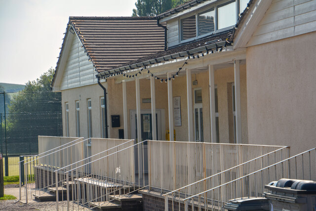
Nearby Amenities

Located within 500m of 50.902831,-3.303381
Craddock
Place: hamlet
Lat/Long: 50.9022751/-3.3019707
Bench
Operator: Royal Mail
Post Box Type: wall
Ref: EX15 5D
Royal Cypher: VR
Lat/Long: 50.9032824/-3.3003947
Post Box
Lat/Long: 50.9033095/-3.3003182
Power: pole
Source: bing
Lat/Long: 50.8994349/-3.3040416
Power: pole
Source: bing
Lat/Long: 50.9000303/-3.3040711
Power: pole
Source: bing
Lat/Long: 50.9006748/-3.3041248
Power: pole
Source: bing
Lat/Long: 50.9013007/-3.3045834
Power: pole
Source: bing
Lat/Long: 50.9019147/-3.3050689
Power: pole
Source: bing
Lat/Long: 50.9025677/-3.3055383
Power: pole
Source: bing
Lat/Long: 50.9031749/-3.3060211
Power: pole
Source: bing
Lat/Long: 50.9037923/-3.3064958
Power: pole
Source: bing
Lat/Long: 50.9044131/-3.3069679
Power: pole
Source: bing
Lat/Long: 50.9050321/-3.3074427
Poles: bipole
Power: pole
Source: bing
Transformer: distribution
Lat/Long: 50.9056639/-3.3078839
Poles: bipole
Power: pole
Source: bing
Transformer: distribution
Lat/Long: 50.9042308/-3.3036485
Power: pole
Source: bing
Lat/Long: 50.9030887/-3.3049482
Power: pole
Source: bing
Lat/Long: 50.9035843/-3.3043447
Power: pole
Source: bing
Lat/Long: 50.898787/-3.3039746
The data included in this document is from www.openstreetmap.org. The data is made available under ODbL.

Have you been to Craddock?

Leave your review of Craddock below (or comments, questions and feedback).