Birchen Coppice

Wood, Forest in Shropshire

England

Birchen Coppice

Waterworks bridge, Hampton Loade The pipes also serve to support the private road linking the water abstraction plant with the reservoirs on the other side of the river
Waterworks bridge, Hampton Loade Credit: David Stowell

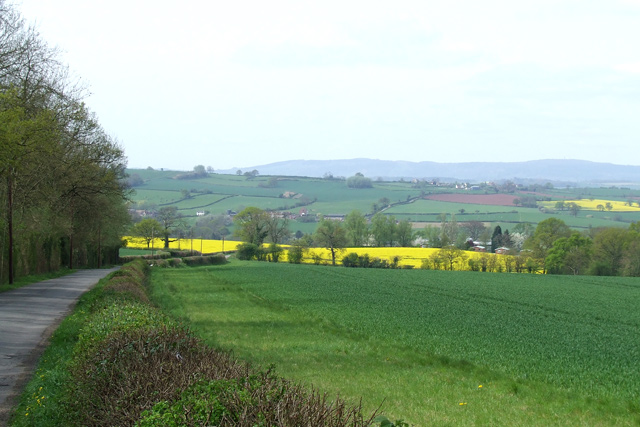
Birchen Coppice is a picturesque wood located in the county of Shropshire, England. Covering an area of approximately 200 acres, it is situated near the village of Claverley, about 10 miles west of the town of Bridgnorth. The wood is part of the larger Dudmaston Estate and is managed by the National Trust.

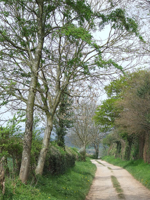
The wood is predominantly composed of birch trees, hence its name, but also features a variety of other tree species such as oak, beech, and ash. The diverse flora and fauna found within Birchen Coppice make it an important habitat for wildlife. Visitors can expect to encounter a range of bird species including woodpeckers, tits, and warblers, as well as mammals like deer, foxes, and badgers.

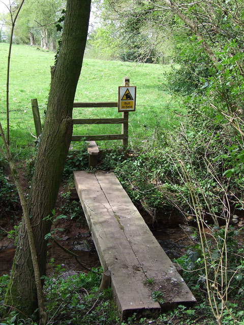
There are several walking trails that wind through the wood, providing visitors with the opportunity to explore its natural beauty. These paths offer stunning views of the surrounding countryside, with glimpses of the nearby Shropshire Hills in the distance. Along the trails, you may come across the remains of old charcoal hearths, which serve as a reminder of the wood's historical use for charcoal production.

Birchen Coppice is a popular destination for nature lovers, walkers, and picnickers. It offers a peaceful and serene environment, away from the hustle and bustle of urban life. Whether you are looking to immerse yourself in nature, spot wildlife, or simply enjoy a leisurely stroll, Birchen Coppice is a must-visit location in Shropshire.

If you have any feedback on the listing, please let us know in the comments section below.

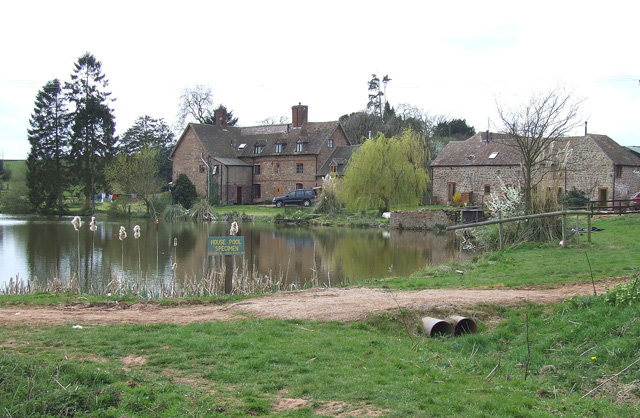
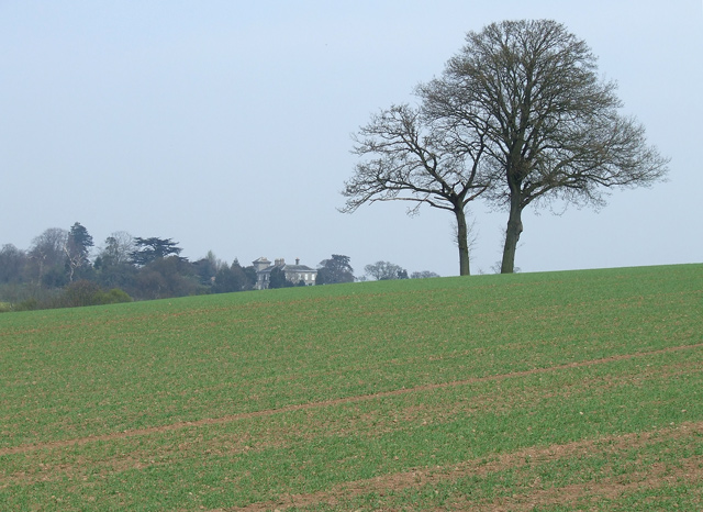
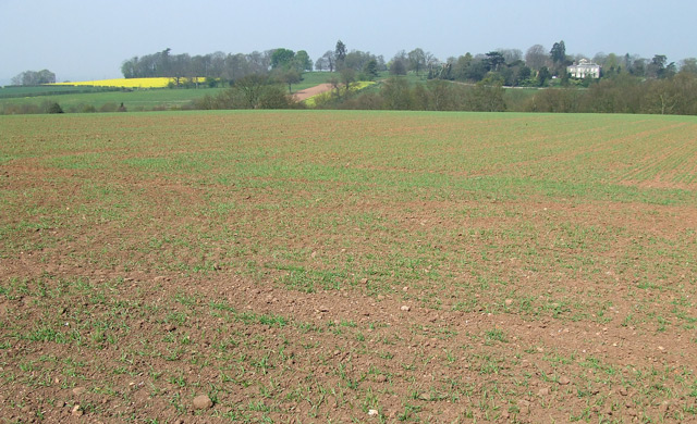
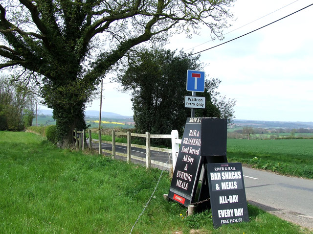
Birchen Coppice Images

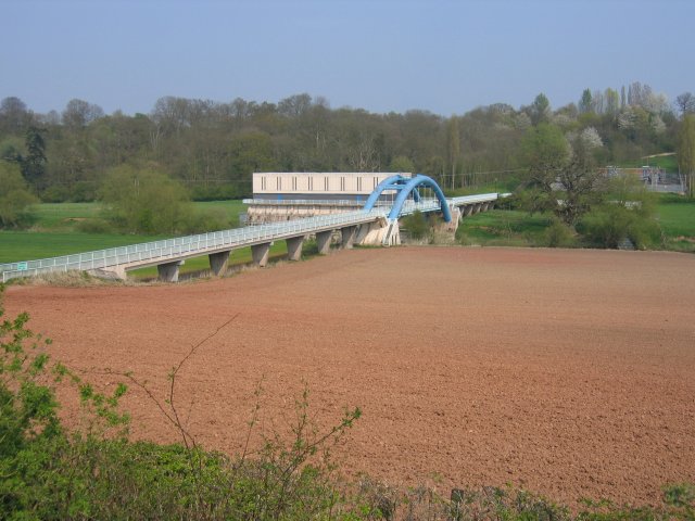
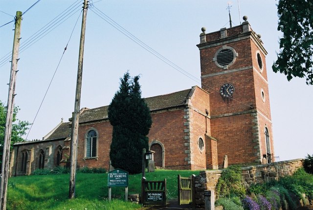
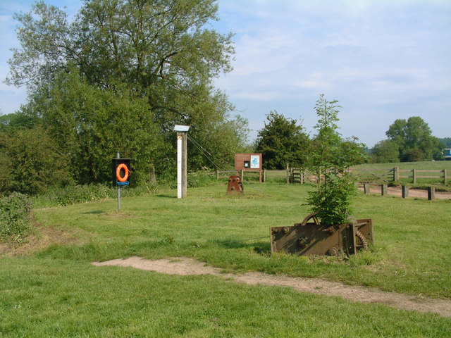
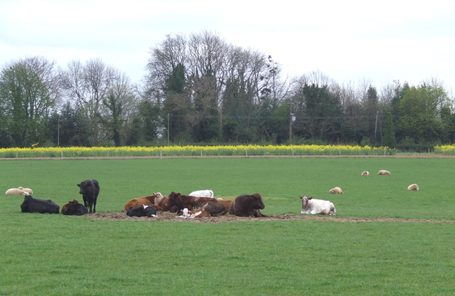
Images are sourced within 2km of 52.484357/-2.3482898 or Grid Reference SO7687. Thanks to Geograph Open Source API. All images are credited.

Waterworks bridge, Hampton Loade The pipes also serve to support the private road linking the water abstraction plant with the reservoirs on the other side of the river
Waterworks bridge, Hampton Loade
The pipes also serve to support the private road linking the water abstraction plant with the reservoirs on the other side of the river
Quatt - St Andrew's Church Dating back to Saxon times the church was restored in 1763. The west gallery and organ date from 1950s.
Quatt - St Andrew's Church
Dating back to Saxon times the church was restored in 1763. The west gallery and organ date from 1950s.
Old winch for the Hampton Loade ferry
Cattle and sheep north of Birdsgreen in Shropshire Cows and calves, ewes and lambs; contentment on a sunny spring day near Coton Farm.
Cattle and sheep north of Birdsgreen in Shropshire
Cows and calves, ewes and lambs; contentment on a sunny spring day near Coton Farm.
Kingsnordley Farm with fishpool, Shropshire Diversification in this square, and the one to the north, includes a string of around a dozen medium sized pools dedicated to angling.
Kingsnordley Farm with fishpool, Shropshire
Diversification in this square, and the one to the north, includes a string of around a dozen medium sized pools dedicated to angling.
Crop field and oak Trees near Birdsgreen in Shropshire A telephoto assisted image looking north from the lane near Allum Bridge.
The cereal crop has germinated nicely. A public footpath passes across the ridge just past the oak trees. A wooded valley (Coton Dingle)  is hidden between the trees and Coton Hall which shows on the skyline.
Crop field and oak Trees near Birdsgreen in Shropshire
A telephoto assisted image looking north from the lane near Allum Bridge. The cereal crop has germinated nicely. A public footpath passes across the ridge just past the oak trees. A wooded valley (Coton Dingle) is hidden between the trees and Coton Hall which shows on the skyline.
Crop Field near Birdsgreen, Shropshire The cereal crop has germinated well. The line of trees (beyond which Coton Hall can be seen) marks the wooded valley called Coton Dingle.
Crop Field near Birdsgreen, Shropshire
The cereal crop has germinated well. The line of trees (beyond which Coton Hall can be seen) marks the wooded valley called Coton Dingle.
The lane to the ferry near Hampton Loade in Shropshire The ferry carries pedestrians and cyclists across the River Severn at Hampton Loade, about a mile ahead. 

Apparently the road sign is not clear or obvious enough for some drivers of lower intelligence, and some additional help has now become necessary. <a href="https://www.geograph.org.uk/photo/574832">SO7686 : Sign of the times</a>

Update December 2023: The ferry ceased operation in 2016. The River and Rail Country Inn has been reported as closed (from circa late 2022).
The lane to the ferry near Hampton Loade in Shropshire
The ferry carries pedestrians and cyclists across the River Severn at Hampton Loade, about a mile ahead. Apparently the road sign is not clear or obvious enough for some drivers of lower intelligence, and some additional help has now become necessary. SO7686 : Sign of the times Update December 2023: The ferry ceased operation in 2016. The River and Rail Country Inn has been reported as closed (from circa late 2022).
Lane and crop fields near Hampton Loade in Shropshire The lane is a cul-de-sac leading to The River and Rail Country Inn and Hampton Loade Ferry (pedestrians and cyclists only) and SVR station (near another pub). Cereals and rape dominate fields not set aside for grazing.
Lane and crop fields near Hampton Loade in Shropshire
The lane is a cul-de-sac leading to The River and Rail Country Inn and Hampton Loade Ferry (pedestrians and cyclists only) and SVR station (near another pub). Cereals and rape dominate fields not set aside for grazing.
Byway near Quatt in Shropshire Looking north-north-west towards Quatt, this unsurfaced track is classified as a byway open to all traffic. It runs about two miles through the fields from Birdsgreen.
Byway near Quatt in Shropshire
Looking north-north-west towards Quatt, this unsurfaced track is classified as a byway open to all traffic. It runs about two miles through the fields from Birdsgreen.
Straw Bales and Field Boundary, near Quatt, Shropshire Grass crops dominate in this grid square.
Straw Bales and Field Boundary, near Quatt, Shropshire
Grass crops dominate in this grid square.
Crop fields near Quatt in Shropshire Looking north-west towards Quatt, Cereals and rape dominate the fields round here, with some ground set aside for grazing. The A442 is off to the right of the hedge.
Crop fields near Quatt in Shropshire
Looking north-west towards Quatt, Cereals and rape dominate the fields round here, with some ground set aside for grazing. The A442 is off to the right of the hedge.
Old barn in Wooton, Shropshire Not converted yet, but are its days numbered?

December 2023 update: Yes they were! It has been converted into two residences (circa 2016-2017) called Gable End Barn and Meadow Barn. Purchase cost in 2017? £1,050,000 for the two!
A third newbuild "barn" is now off to the right, which was £630,000.
Old barn in Wooton, Shropshire
Not converted yet, but are its days numbered? December 2023 update: Yes they were! It has been converted into two residences (circa 2016-2017) called Gable End Barn and Meadow Barn. Purchase cost in 2017? £1,050,000 for the two! A third newbuild "barn" is now off to the right, which was £630,000.
Story book cottage in Wooton, Shropshire Stone House is by Duken Lane. I promise I haven't lifted this from a child's story book. It's as real as the chickens in the yard!
Story book cottage in Wooton, Shropshire
Stone House is by Duken Lane. I promise I haven't lifted this from a child's story book. It's as real as the chickens in the yard!
Nasty surprise on the public footpath near Wooton, Shropshire The footpath has just led from the pub, through the meadow, down into Wooton Dingle, and over this bridge and stile....but..."BULL IN FIELD". Today he was at the top of the field with his harem!
Nasty surprise on the public footpath near Wooton, Shropshire
The footpath has just led from the pub, through the meadow, down into Wooton Dingle, and over this bridge and stile....but..."BULL IN FIELD". Today he was at the top of the field with his harem!
Public Footpath through Crop Field, near Quatt, Shropshire The field is bordered by a well maintained hawthorn hedge. A cereal crop is progressing well. The path leads to an unsurfaced byway along the line of trees.
Public Footpath through Crop Field, near Quatt, Shropshire
The field is bordered by a well maintained hawthorn hedge. A cereal crop is progressing well. The path leads to an unsurfaced byway along the line of trees.
Across the Severn Valley, near Hampton Loade, Shropshire Looking westwards across the cereal crop field, the lane (dead end) leads down past the near rape field to Hampton Loade, and the pedestrian ferry to Hampton and the Severn Valley Railway station. In the middle distance the lane leads to the village of Sutton (3.5km/2.5 miles). The Clee Hills mark the skyline.
Across the Severn Valley, near Hampton Loade, Shropshire
Looking westwards across the cereal crop field, the lane (dead end) leads down past the near rape field to Hampton Loade, and the pedestrian ferry to Hampton and the Severn Valley Railway station. In the middle distance the lane leads to the village of Sutton (3.5km/2.5 miles). The Clee Hills mark the skyline.
Crop Field and Woods, near Quatt, Shropshire The public footpath flanks the cereal crop in the foreground. The lane goes past Burntcroft Coppice to the pedestrian ferry at Hampton Loade. Titterstone Clee is on the skyline above the coppice. Most land locally is under crops.
Crop Field and Woods, near Quatt, Shropshire
The public footpath flanks the cereal crop in the foreground. The lane goes past Burntcroft Coppice to the pedestrian ferry at Hampton Loade. Titterstone Clee is on the skyline above the coppice. Most land locally is under crops.
Show me another place!

Birchen Coppice is located at Grid Ref: SO7687 (Lat: 52.484357, Lng: -2.3482898)

Unitary Authority: Shropshire

Police Authority: West Mercia

What 3 Words

///surprises.mingles.dabbled. Near Alveley, Shropshire

Related Wikis

Kingsnordley

Kingsnordley is a manor in the northern part of the parish of Alveley. This part of the parish has no nucleated village, but there is a Church of England...

Quatt

Quatt is a small village in Shropshire, England in the Severn Valley. The civil parish, formally known as Quatt Malvern, has a population of 219 according...

Coton, Alveley, Shropshire

Coton is located northeast of Alveley, Shropshire and was associated with the manor Coton Hall. The ancestors of General Robert E. Lee left Coton near...

Hampton Loade Ferry

Hampton Loade Ferry was a pedestrian cable ferry linking the villages of Hampton Loade and Hampton across the River Severn in the English county of Shropshire...

Nearby Amenities

Located within 500m of 52.484357,-2.3482898
Marker: pedestal
Operator: CLH
Operator Old: GPSS
Ref: CP 2250
Ref GPSS: 15903
Utility: oil
Lat/Long: 52.4831821/-2.3545832
The data included in this document is from www.openstreetmap.org. The data is made available under ODbL.

Have you been to Birchen Coppice?

Leave your review of Birchen Coppice below (or comments, questions and feedback).