Burtergill Wood

Wood, Forest in Westmorland Eden

England

Burtergill Wood

The Eden Valley Railway A steam preservation line.
The Eden Valley Railway Credit: N Chadwick

Burtergill Wood is a scenic woodland located in Westmorland, a historic county in northwestern England. Nestled in the beautiful countryside of the Lake District National Park, this forested area provides a tranquil retreat for nature lovers and outdoor enthusiasts alike.

Covering an expanse of approximately 200 acres, Burtergill Wood is characterized by its diverse range of tree species, including oak, birch, ash, and beech. The dense canopy created by these towering trees creates a shaded, enchanting environment that is ideal for leisurely walks and exploration.

Visitors to Burtergill Wood can enjoy a network of well-maintained walking trails that wind through the forest, offering breathtaking views of the surrounding landscape. These trails cater to all abilities, with options for both short strolls and longer, more challenging hikes.

The woodland is also home to a rich variety of wildlife, making it a haven for nature enthusiasts. Observant visitors may spot deer, squirrels, and a wide array of bird species amidst the rustling leaves and chirping birdsong.

For those seeking a peaceful retreat, Burtergill Wood offers several picnic areas where visitors can relax and immerse themselves in the serenity of nature. The forest's secluded location makes it an ideal spot for solitude and quiet contemplation.

With its picturesque setting, diverse flora and fauna, and peaceful atmosphere, Burtergill Wood is a hidden gem in Westmorland that offers a captivating experience for anyone seeking to connect with the natural world.

If you have any feedback on the listing, please let us know in the comments section below.

Burtergill Wood Images

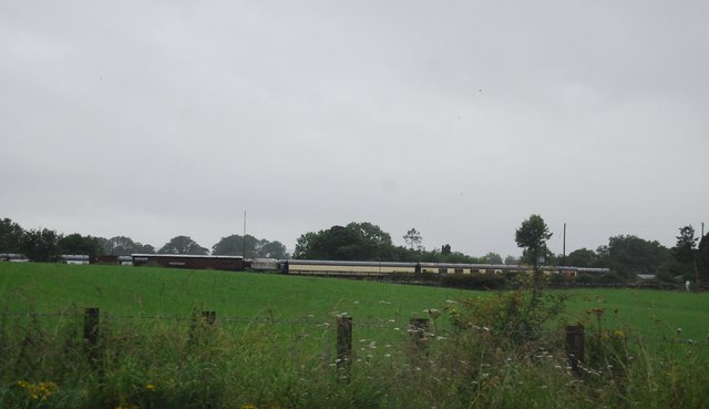
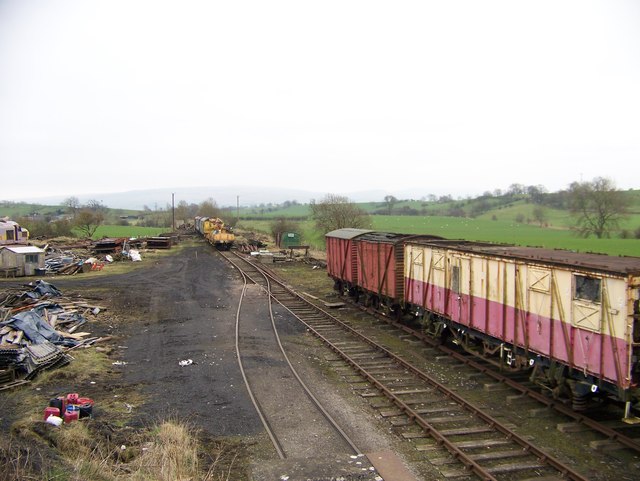
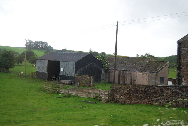
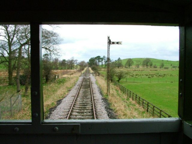
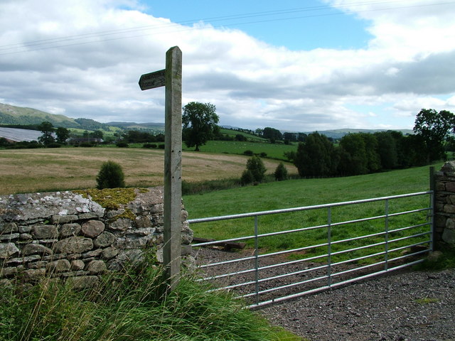
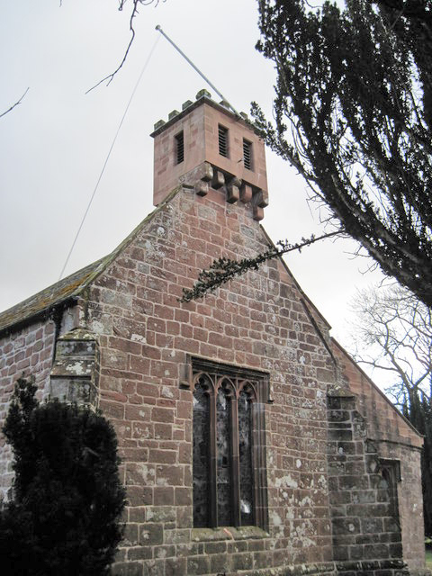
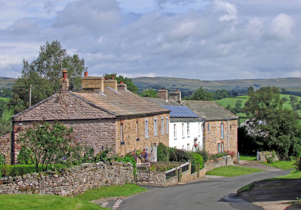
Images are sourced within 2km of 54.542522/-2.3659709 or Grid Reference NY7616. Thanks to Geograph Open Source API. All images are credited.

The Eden Valley Railway A steam preservation line.
The Eden Valley Railway
A steam preservation line.
Road to nowhere off the A66
The road to Warcop
The road to Warcop
Hayber Lane The track crosses the range
Hayber Lane
The track crosses the range
Warcop  Pinfold  with  Sculpture  in  Centre
Warcop Pinfold with Sculpture in Centre
Eden Valley Railway at Warcop Railway Station
A66 near Turks Head The A66 is a major road in northern England running from near Middlesbrough to Workington. The section between Scotch Corner and Penrith is a Trans-Pennine route between the A1 and M6, following an old Roman Road.
Wikipedia: <span class="nowrap"><a title="http://en.wikipedia.org/wiki/A66_road" rel="nofollow ugc noopener" href="http://en.wikipedia.org/wiki/A66_road">Link</a><img style="margin-left:2px;" alt="External link" title="External link - shift click to open in new window" src="https://s1.geograph.org.uk/img/external.png" width="10" height="10"/></span>
A66 near Turks Head
The A66 is a major road in northern England running from near Middlesbrough to Workington. The section between Scotch Corner and Penrith is a Trans-Pennine route between the A1 and M6, following an old Roman Road. Wikipedia: LinkExternal link
A66, Flitholme Bridge The A66 is a major road in northern England running from near Middlesbrough to Workington. The section between Scotch Corner and Penrith is a Trans-Pennine route between the A1 and M6, following an old Roman Road.
Wikipedia: <span class="nowrap"><a title="http://en.wikipedia.org/wiki/A66_road" rel="nofollow ugc noopener" href="http://en.wikipedia.org/wiki/A66_road">Link</a><img style="margin-left:2px;" alt="External link" title="External link - shift click to open in new window" src="https://s1.geograph.org.uk/img/external.png" width="10" height="10"/></span>
A66, Flitholme Bridge
The A66 is a major road in northern England running from near Middlesbrough to Workington. The section between Scotch Corner and Penrith is a Trans-Pennine route between the A1 and M6, following an old Roman Road. Wikipedia: LinkExternal link
A66 near Flitholme The A66 is a major road in northern England running from near Middlesbrough to Workington. The section between Scotch Corner and Penrith is a Trans-Pennine route between the A1 and M6, following an old Roman Road.
Wikipedia: <span class="nowrap"><a title="http://en.wikipedia.org/wiki/A66_road" rel="nofollow ugc noopener" href="http://en.wikipedia.org/wiki/A66_road">Link</a><img style="margin-left:2px;" alt="External link" title="External link - shift click to open in new window" src="https://s1.geograph.org.uk/img/external.png" width="10" height="10"/></span>
A66 near Flitholme
The A66 is a major road in northern England running from near Middlesbrough to Workington. The section between Scotch Corner and Penrith is a Trans-Pennine route between the A1 and M6, following an old Roman Road. Wikipedia: LinkExternal link
A66, Toddygill Bridge The A66 is a major road in northern England running from near Middlesbrough to Workington. The section between Scotch Corner and Penrith is a Trans-Pennine route between the A1 and M6, following an old Roman Road.
Wikipedia: <span class="nowrap"><a title="http://en.wikipedia.org/wiki/A66_road" rel="nofollow ugc noopener" href="http://en.wikipedia.org/wiki/A66_road">Link</a><img style="margin-left:2px;" alt="External link" title="External link - shift click to open in new window" src="https://s1.geograph.org.uk/img/external.png" width="10" height="10"/></span>
A66, Toddygill Bridge
The A66 is a major road in northern England running from near Middlesbrough to Workington. The section between Scotch Corner and Penrith is a Trans-Pennine route between the A1 and M6, following an old Roman Road. Wikipedia: LinkExternal link
A66, Warcop turning The A66 is a major road in northern England running from near Middlesbrough to Workington. The section between Scotch Corner and Penrith is a Trans-Pennine route between the A1 and M6, following an old Roman Road.
Wikipedia: <span class="nowrap"><a title="http://en.wikipedia.org/wiki/A66_road" rel="nofollow ugc noopener" href="http://en.wikipedia.org/wiki/A66_road">Link</a><img style="margin-left:2px;" alt="External link" title="External link - shift click to open in new window" src="https://s1.geograph.org.uk/img/external.png" width="10" height="10"/></span>
A66, Warcop turning
The A66 is a major road in northern England running from near Middlesbrough to Workington. The section between Scotch Corner and Penrith is a Trans-Pennine route between the A1 and M6, following an old Roman Road. Wikipedia: LinkExternal link
Windsock
Windsock
Bend, A66 The A66 is a major road in northern England running from near Middlesbrough to Workington. The section between Scotch Corner and Penrith is a Trans-Pennine route between the A1 and M6, following an old Roman Road.
Wikipedia: <span class="nowrap"><a title="http://en.wikipedia.org/wiki/A66_road" rel="nofollow ugc noopener" href="http://en.wikipedia.org/wiki/A66_road">Link</a><img style="margin-left:2px;" alt="External link" title="External link - shift click to open in new window" src="https://s1.geograph.org.uk/img/external.png" width="10" height="10"/></span>
Bend, A66
The A66 is a major road in northern England running from near Middlesbrough to Workington. The section between Scotch Corner and Penrith is a Trans-Pennine route between the A1 and M6, following an old Roman Road. Wikipedia: LinkExternal link
Sheep grazing by the A66
Farm by the A66
Farm by the A66
A building at Walk Mill Taken while at a standstill on the A66 westbound
A building at Walk Mill
Taken while at a standstill on the A66 westbound
Barn at Langrigg Roman Fell forms the backcloth.
Barn at Langrigg
Roman Fell forms the backcloth.
Benchmark on boundary wall of Warcop Hall Ordnance Survey cut mark benchmark described on the Bench Mark Database at <span class="nowrap"><a title="http://www.bench-marks.org.uk/bm69450" rel="nofollow ugc noopener" href="http://www.bench-marks.org.uk/bm69450">Link</a><img style="margin-left:2px;" alt="External link" title="External link - shift click to open in new window" src="https://s1.geograph.org.uk/img/external.png" width="10" height="10"/></span>
Benchmark on boundary wall of Warcop Hall
Ordnance Survey cut mark benchmark described on the Bench Mark Database at LinkExternal link
Show me another place!

Burtergill Wood is located at Grid Ref: NY7616 (Lat: 54.542522, Lng: -2.3659709)

Administrative County: Cumbria

District: Eden

Police Authority: Cumbria

What 3 Words

///rhino.conductor.flicks. Near Kirkby Stephen, Cumbria

Related Wikis

Nearby Amenities

Located within 500m of 54.542522,-2.3659709
Kiln Hill
Place: locality
Lat/Long: 54.5398619/-2.3624695
Hazel Rigg
Place: locality
Lat/Long: 54.542426/-2.3707765
The data included in this document is from www.openstreetmap.org. The data is made available under ODbL.

Have you been to Burtergill Wood?

Leave your review of Burtergill Wood below (or comments, questions and feedback).