Frenchpiece Wood
Wood, Forest in Gloucestershire
England
Frenchpiece Wood
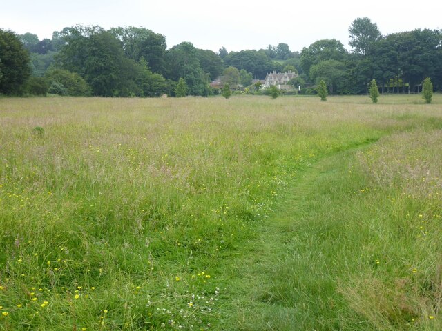
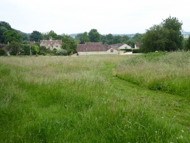
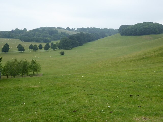
Frenchpiece Wood is a picturesque woodland located in Gloucestershire, England. Situated near the village of Frenchpiece, the wood covers an area of approximately 100 acres and is a beloved natural attraction in the region. It is part of the larger Forest of Dean, a stunning ancient woodland that has been designated as a Site of Special Scientific Interest.
The wood comprises a diverse range of tree species, including oak, beech, ash, and birch, creating a rich and vibrant ecosystem. The dense canopy provides a shady and tranquil environment, making it an ideal spot for leisurely walks, nature exploration, and birdwatching. Visitors can expect to encounter a variety of wildlife, such as deer, foxes, badgers, and numerous bird species.
Frenchpiece Wood is intersected by a network of well-maintained footpaths, allowing visitors to explore its beauty at their own pace. The paths lead to several points of interest, including a small pond and a meandering stream. The wood also boasts a number of areas for picnicking, making it a popular destination for families and outdoor enthusiasts.
The wood is easily accessible from nearby towns and villages, with parking facilities available for visitors. It is open to the public throughout the year, offering a different experience with each season. In spring, the wood bursts to life with vibrant wildflowers and blossoming trees, while autumn paints the landscape with a breathtaking display of colors.
Overall, Frenchpiece Wood is a hidden gem in Gloucestershire, offering a serene and enchanting escape into nature for all who visit.
If you have any feedback on the listing, please let us know in the comments section below.
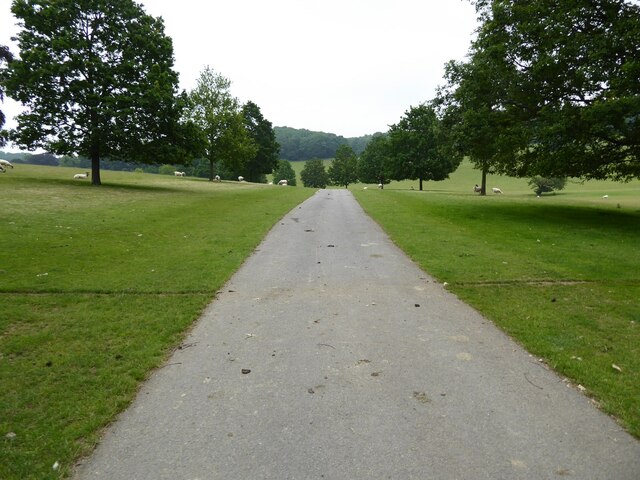
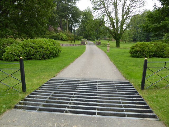
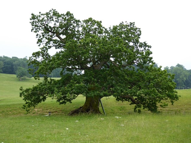
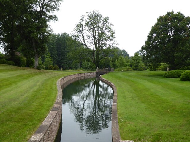
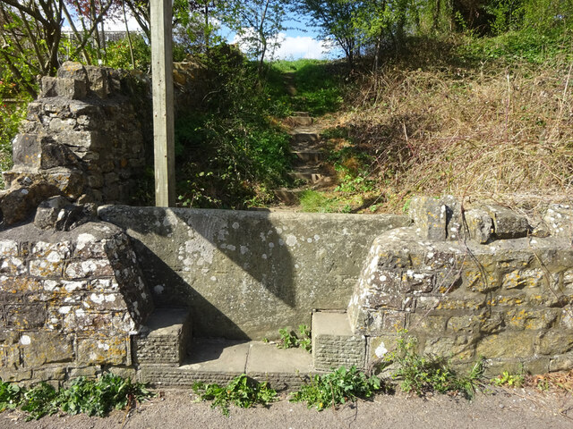
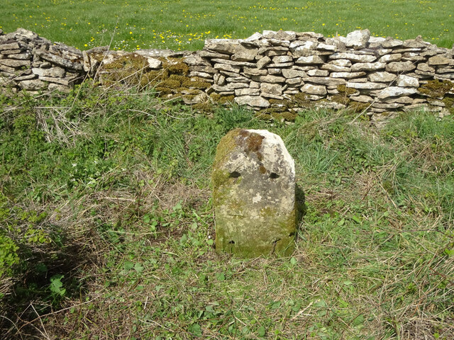
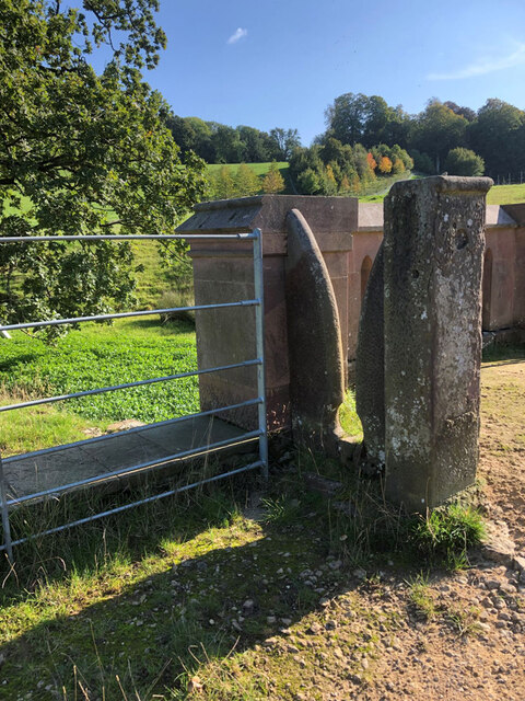
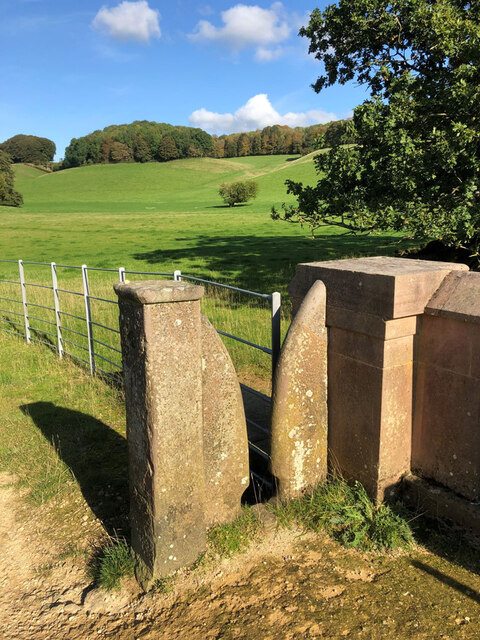
Frenchpiece Wood Images
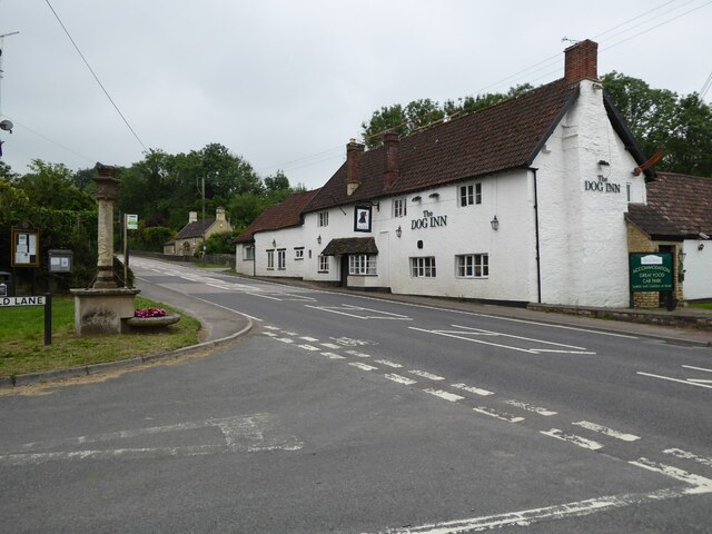
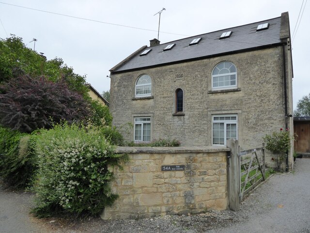
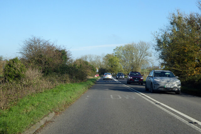
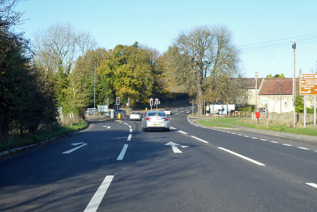
Images are sourced within 2km of 51.520079/-2.3467453 or Grid Reference ST7680. Thanks to Geograph Open Source API. All images are credited.
Frenchpiece Wood is located at Grid Ref: ST7680 (Lat: 51.520079, Lng: -2.3467453)
Unitary Authority: South Gloucestershire
Police Authority: Avon and Somerset
What 3 Words
///moss.moral.again. Near Chipping Sodbury, Gloucestershire
Nearby Locations
Related Wikis
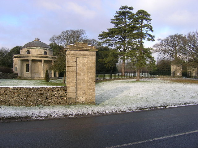
Dodington Park
Dodington Park is a country house and estate in Dodington, South Gloucestershire, England. The house was built by James Wyatt for Christopher Bethell Codrington...

Dodington, Gloucestershire
Dodington is a village and civil parish in South Gloucestershire, England. The village lies in a small, fertile valley between Codrington and Old Sodbury...

Old Sodbury
Old Sodbury is a small village and former civil parish in the valley of the River Frome just below and to the west of the Cotswold escarpment and to the...

Tormarton
Tormarton is a village in South Gloucestershire, England. Its name may come from Thor Maer Tun meaning The settlement with the thorn (tree) on the boundary...
Nearby Amenities
Located within 500m of 51.520079,-2.3467453Have you been to Frenchpiece Wood?
Leave your review of Frenchpiece Wood below (or comments, questions and feedback).