Baxhill Coppice

Wood, Forest in Herefordshire

England

Baxhill Coppice

The Wells Road near Ashdown Villa Looking in a southerly direction towards Little Malvern.
This stretch of the road is still lit by gas lamps.
On the right is the "Gothic Well" - not open to the public.
<span class="nowrap"><a title="http://www.malvern-hills.co.uk/malvernspa/well-info/gothic.html" rel="nofollow ugc noopener" href="http://www.malvern-hills.co.uk/malvernspa/well-info/gothic.html">Link</a><img style="margin-left:2px;" alt="External link" title="External link - shift click to open in new window" src="https://s1.geograph.org.uk/img/external.png" width="10" height="10"/></span>
The Wells Road near Ashdown Villa Credit: Bob Embleton

Baxhill Coppice is a picturesque woodland located in Herefordshire, England. Covering an area of approximately 100 acres, it is a stunning natural habitat that offers a peaceful and serene environment for visitors to enjoy.

The coppice is primarily composed of a mix of broadleaf trees including oak, ash, and beech, which create a dense and diverse canopy overhead. The woodland floor is covered in a lush carpet of wildflowers, ferns, and mosses, contributing to the area's incredible biodiversity.

The forest is home to a wide variety of wildlife, making it a haven for nature enthusiasts and birdwatchers. Visitors may spot species such as woodpeckers, nightingales, and tawny owls, among others. Additionally, the forest is inhabited by an array of mammals including foxes, badgers, and deer.

Baxhill Coppice is not only a natural sanctuary, but it also holds historical significance. The woodland dates back several centuries and has been managed sustainably through traditional coppicing techniques, which involve periodically cutting down trees to stimulate new growth.

The coppice offers a range of recreational activities for visitors to partake in. There are well-maintained walking trails that wind through the forest, allowing visitors to explore its beauty at their own pace. Picnic areas are also available, providing a perfect spot for a leisurely lunch surrounded by nature.

Overall, Baxhill Coppice is a remarkable woodland in Herefordshire, offering a tranquil retreat for those seeking solace in nature's embrace.

If you have any feedback on the listing, please let us know in the comments section below.

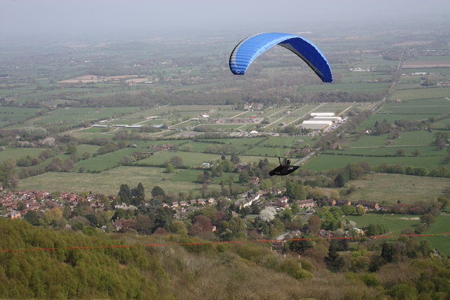
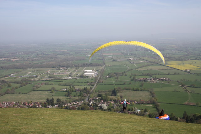
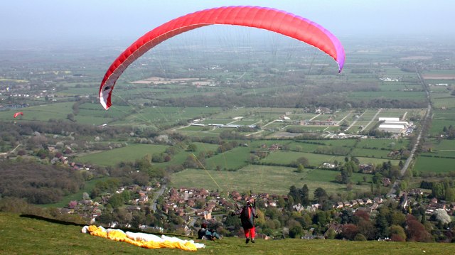
Baxhill Coppice Images

Images are sourced within 2km of 52.078335/-2.3519767 or Grid Reference SO7542. Thanks to Geograph Open Source API. All images are credited.

The Wells Road near Ashdown Villa Looking in a southerly direction towards Little Malvern.
This stretch of the road is still lit by gas lamps.
On the right is the "Gothic Well" - not open to the public.
<span class="nowrap"><a title="http://www.malvern-hills.co.uk/malvernspa/well-info/gothic.html" rel="nofollow ugc noopener" href="http://www.malvern-hills.co.uk/malvernspa/well-info/gothic.html">Link</a><img style="margin-left:2px;" alt="External link" title="External link - shift click to open in new window" src="https://s1.geograph.org.uk/img/external.png" width="10" height="10"/></span>
The Wells Road near Ashdown Villa
Looking in a southerly direction towards Little Malvern. This stretch of the road is still lit by gas lamps. On the right is the "Gothic Well" - not open to the public. LinkExternal link
The Wells Road below Hanley Terrace Looking in a northerly direction towards Great Malvern.
The houses are on Hanley Terrace high above the main road.
On the left, built into the hillside, is the "Gothic Well".
<span class="nowrap"><a title="http://www.malvern-hills.co.uk/malvernspa/well-info/gothic.html" rel="nofollow ugc noopener" href="http://www.malvern-hills.co.uk/malvernspa/well-info/gothic.html">Link</a><img style="margin-left:2px;" alt="External link" title="External link - shift click to open in new window" src="https://s1.geograph.org.uk/img/external.png" width="10" height="10"/></span>
The Wells Road below Hanley Terrace
Looking in a northerly direction towards Great Malvern. The houses are on Hanley Terrace high above the main road. On the left, built into the hillside, is the "Gothic Well". LinkExternal link
The Gothic Well on Wells Road, Malvern An old wooden green door stood under the central arch until recently, but this has now been bricked up.
This gave access to a chamber going 30 feet into the hillside to the well which supplied 30,000 gallons of water per day. 
During the war the chamber was used as an air raid shelter. 
<span class="nowrap"><a title="http://www.malvern-hills.co.uk/malvernspa/well-info/gothic.html" rel="nofollow ugc noopener" href="http://www.malvern-hills.co.uk/malvernspa/well-info/gothic.html">Link</a><img style="margin-left:2px;" alt="External link" title="External link - shift click to open in new window" src="https://s1.geograph.org.uk/img/external.png" width="10" height="10"/></span>
The Gothic Well on Wells Road, Malvern
An old wooden green door stood under the central arch until recently, but this has now been bricked up. This gave access to a chamber going 30 feet into the hillside to the well which supplied 30,000 gallons of water per day. During the war the chamber was used as an air raid shelter. LinkExternal link
Paraglider on Pinnacle Hill One of dozens of paragliders taking off and flying around Pinnacle Hill with the breeze blowing from the south-east.
Permission to use the hill (owned by the Malvern hills Conservators) is under the strict safety rules of the Malvern Hills Hang Gliding Club.
<span class="nowrap"><a title="http://www.malvern-hang.org.uk/pinnacle.shtml" rel="nofollow ugc noopener" href="http://www.malvern-hang.org.uk/pinnacle.shtml">Link</a><img style="margin-left:2px;" alt="External link" title="External link - shift click to open in new window" src="https://s1.geograph.org.uk/img/external.png" width="10" height="10"/></span>
In the background is the Three Counties Showground.
Paraglider on Pinnacle Hill
One of dozens of paragliders taking off and flying around Pinnacle Hill with the breeze blowing from the south-east. Permission to use the hill (owned by the Malvern hills Conservators) is under the strict safety rules of the Malvern Hills Hang Gliding Club. LinkExternal link In the background is the Three Counties Showground.
Paraglider on Pinnacle Hill Just at the point of take-off.
Malvern Wells and the Three Counties Showground in the background.
Paraglider on Pinnacle Hill
Just at the point of take-off. Malvern Wells and the Three Counties Showground in the background.
Paraglider on Pinnacle Hill Now I know why they wear crash helmets. 
Taken just at the point of take-off. 
The breeze then shifted the paraglider and pilot the left, narrowly missing the other helmeted pilot sitting on the ground.
From here we get a good view of Malvern Wells sitting below Pinnacle Hill and the Three Counties Showground where occasionally we get to see expensive firework displays.
Paraglider on Pinnacle Hill
Now I know why they wear crash helmets. Taken just at the point of take-off. The breeze then shifted the paraglider and pilot the left, narrowly missing the other helmeted pilot sitting on the ground. From here we get a good view of Malvern Wells sitting below Pinnacle Hill and the Three Counties Showground where occasionally we get to see expensive firework displays.
Paraglider on Pinnacle Hill A walker on the upper path and a paraglider above the ridge: going for the moon.
Paraglider on Pinnacle Hill
A walker on the upper path and a paraglider above the ridge: going for the moon.
The path to Black Hill car park Black Hill is on the left and the magnificent Herefordshire Beacon is on the right.
Between the two is the car park with the April sunshine glinting off the cars.
The path to Black Hill car park
Black Hill is on the left and the magnificent Herefordshire Beacon is on the right. Between the two is the car park with the April sunshine glinting off the cars.
Pinnacle Hill The Malvern Hang Gliding Club use the East side of this ridge for ridge soaring when the wind is from NE-ESE (45-120 degrees). The Malvern Hills are aligned roughly North/South and rise to almost 1,400 feet above sea level.
Pinnacle Hill
The Malvern Hang Gliding Club use the East side of this ridge for ridge soaring when the wind is from NE-ESE (45-120 degrees). The Malvern Hills are aligned roughly North/South and rise to almost 1,400 feet above sea level.
Gardners Quarry
Gardners Quarry
Cave at Gardners Quarry
View from The Malvern Hills
A View from the Malvern Hills
View on The Malvern Hills
View from The Malvern Hills
Malvern Hill Convenience
The Malvern Hills
The Malvern Hills
Show me another place!

Baxhill Coppice is located at Grid Ref: SO7542 (Lat: 52.078335, Lng: -2.3519767)

Unitary Authority: County of Herefordshire

Police Authority: West Mercia

What 3 Words

///tracking.logs.prancing. Near Great Malvern, Worcestershire

Related Wikis

Colwall railway station

Colwall railway station is a railway station on the Cotswold Line serving the village of Colwall in Herefordshire, England. The station has one platform...

Colwall

Colwall is a civil parish in Herefordshire, England, situated on the border with Worcestershire, nestling on the western side of the Malvern Hills at the...

Colwall Park Racecourse

Colwall Park Racecourse was a British horse racing venue which operated from 1900 to 1939. It was known as one of England’s prettiest racecourses. The...

Colwall Tunnels

The Colwall Tunnels are a pair of railway tunnels that connect Colwall and Malvern Wells on the Cotswold Line, passing under the Malvern Hills in the Welsh...

Nearby Amenities

Located within 500m of 52.078335,-2.3519767
Colwall
Public Transport: stop_position
Railway: stop
Train: yes
Lat/Long: 52.0798345/-2.35678
Bus Stop
Station Turn
Bus: yes
Naptan AtcoCode: 2090A072002
Naptan Bearing: SW
Naptan CommonName: Station Turn
Naptan Indicator: adj Bus Shelter
Naptan Landmark: Post Office- Jc road to station
Naptan NaptanCode: heradjap
Naptan Street: Walwyn Road (B4218)
Naptan Verified: no
Public Transport: platform
Source: naptan_import
Lat/Long: 52.0803204/-2.3584363
Post Office
Colwall Post Office
Addr Postcode: WR13 6QG
Branch: Colwall
Brand: Post Office
Brand Wikidata: Q1783168
Check Date: 2020-02-20
Contact Website: https://www.postoffice.co.uk/branch-finder/2332477/colwall
Ref Pol Id: 8977
Wheelchair: yes
Lat/Long: 52.080709/-2.3580793
Barrier: kissing_gate
Lat/Long: 52.0794407/-2.3562719
Barrier: stile
Foot: yes
Lat/Long: 52.0804974/-2.3475708
Barrier: stile
Foot: yes
Lat/Long: 52.0744168/-2.3529888
Barrier: kissing_gate
Foot: yes
Lat/Long: 52.0769238/-2.3523479
The Stone
Historic: monument
Lat/Long: 52.0805133/-2.3583666
Peter Pedlingham Fruit & Vegetables
Addr Street: Walwyn Road
Shop: greengrocer
Lat/Long: 52.0813026/-2.3567599
Provisions of Colwall
Addr Street: Primeswell Close
Shop: convenience
Lat/Long: 52.081905/-2.3559235
John Goodwin
Office: estate_agent
Lat/Long: 52.0808672/-2.3578743
Cafe
Cafe Morso
Addr Street: Walwyn Road
Lat/Long: 52.0811109/-2.3570694
Colwall
Addr Postcode: WR13 6RN
Naptan AtcoCode: 9100CLWALL
Network: National Rail
Network Website: https://www.nationalrail.co.uk/stations/cwl/
Network Wikidata: Q26334
Public Transport: station
Railway: station
Ref Crs: CWL
Wikidata: Q2647190
Wikipedia: en:Colwall railway station
Lat/Long: 52.0798427/-2.3567991
Advertising: board
Lat/Long: 52.0802232/-2.3586156
Barrier: kissing_gate
Lat/Long: 52.0787048/-2.3560197
The data included in this document is from www.openstreetmap.org. The data is made available under ODbL.

Have you been to Baxhill Coppice?

Leave your review of Baxhill Coppice below (or comments, questions and feedback).