Cold Harbour Coppice
Wood, Forest in Worcestershire Wyre Forest
England
Cold Harbour Coppice
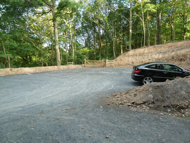
Cold Harbour Coppice is a picturesque woodland located in the county of Worcestershire, England. This enchanting forest covers an area of approximately 50 acres and is a popular destination for nature enthusiasts and hikers alike.
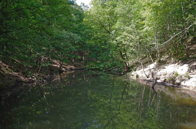
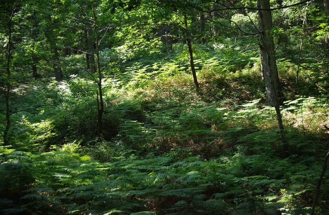
The coppice is predominantly composed of a mixture of broadleaf trees, including oak, ash, birch, and beech, creating a diverse and vibrant ecosystem. The lush undergrowth consists of ferns, bracken, and wildflowers, adding to the area's natural beauty and providing a habitat for a variety of wildlife.
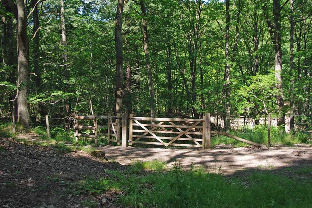
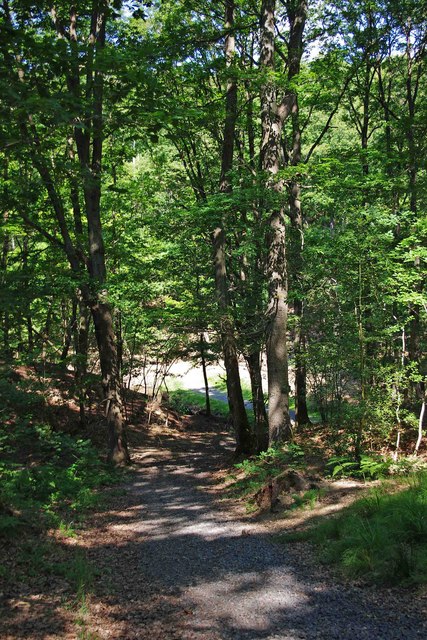
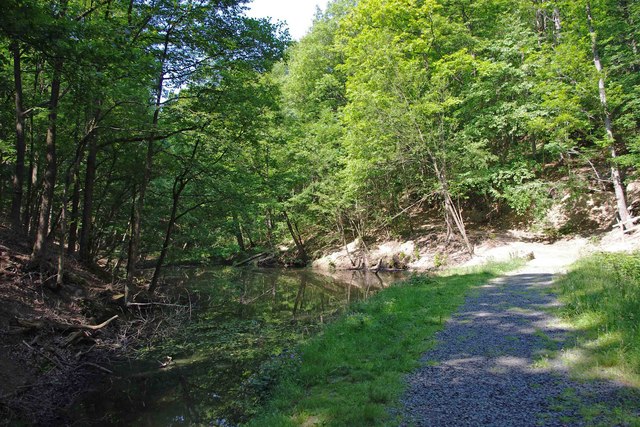
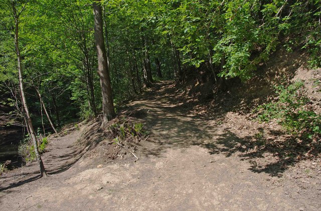
Tranquility and serenity are the hallmarks of Cold Harbour Coppice, making it a perfect escape from the hustle and bustle of everyday life. The forest is crisscrossed by numerous well-maintained footpaths, allowing visitors to explore its hidden treasures at their own pace. These paths lead to scenic viewpoints, babbling streams, and secluded clearings, providing ample opportunities for picnicking or simply immersing oneself in the peaceful surroundings.
The coppice is also renowned for its rich history. Evidence of ancient human activity, such as old stone walls and abandoned charcoal pits, can be found throughout the woodland. These remnants serve as a poignant reminder of the area's past and add an extra layer of intrigue to any visit.
Cold Harbour Coppice truly offers something for everyone. Whether it is a leisurely stroll through its enchanting trails, birdwatching, or simply enjoying the tranquility of nature, this woodland is a hidden gem waiting to be discovered by all those who appreciate the beauty of the natural world.
If you have any feedback on the listing, please let us know in the comments section below.
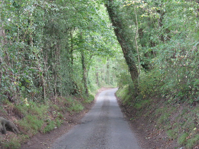
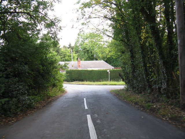
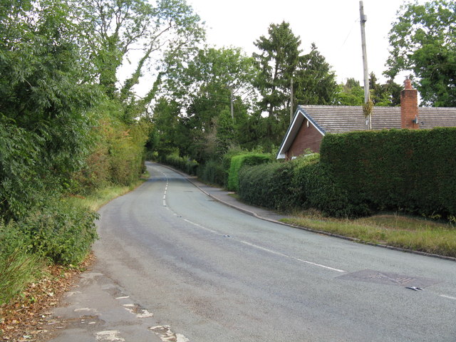
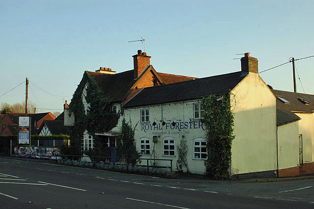
Cold Harbour Coppice Images
Images are sourced within 2km of 52.370207/-2.3553953 or Grid Reference SO7574. Thanks to Geograph Open Source API. All images are credited.

Cold Harbour Coppice is located at Grid Ref: SO7574 (Lat: 52.370207, Lng: -2.3553953)
Administrative County: Worcestershire
District: Wyre Forest
Police Authority: West Mercia
What 3 Words
///pimples.shields.dentures. Near Bewdley, Worcestershire
Nearby Locations
Related Wikis

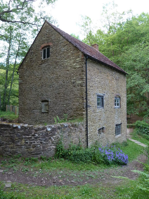
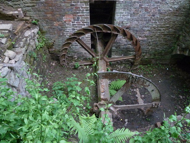
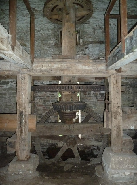
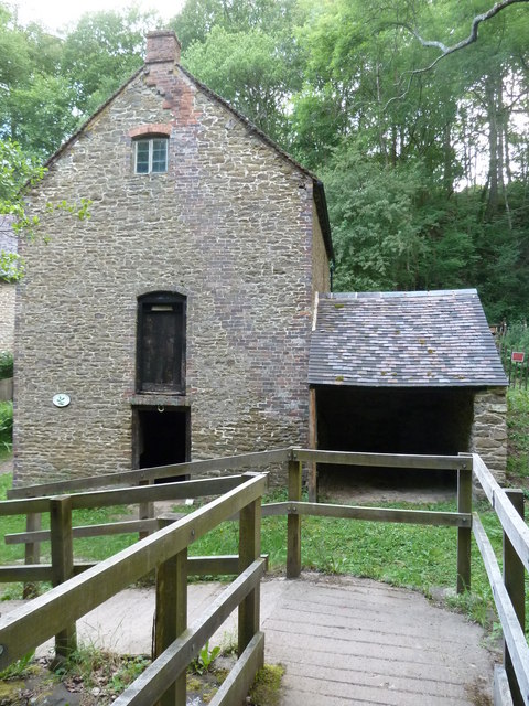
Knowles Mill
Knowles Mill is the remains of an eighteenth-century water-powered grain mill, located in the Wyre Forest in Worcestershire, England. The mill has been...

Wyre Forest
Wyre Forest is a large, semi-natural (partially unmanaged) woodland and forest measuring 26.34 square kilometres (10.17 sq mi) which straddles the borders...

A456 road
Known as the Hagley Road in Birmingham, the A456 is a main road in England running between Central Birmingham and Woofferton, Shropshire, south of Ludlow...

Ribbesford
Ribbesford is a village and civil parish in the Wyre Forest District of Worcestershire, England. At the 2001 census it had a population of 237.Notable...
Nearby Amenities
Located within 500m of 52.370207,-2.3553953Have you been to Cold Harbour Coppice?
Leave your review of Cold Harbour Coppice below (or comments, questions and feedback).