Dundridge Coppice

Wood, Forest in Worcestershire Malvern Hills

England

Dundridge Coppice

Penny Hill Quarry A striking fragment of Wenlock Limestone from the Silurian, now one of the sites in the Abberley and Malvern Hills Geopark, accessible through a waste recycling site in the former quarry.
Penny Hill Quarry Credit: CHARLES GORDON CLARK

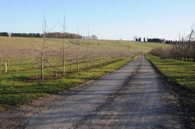
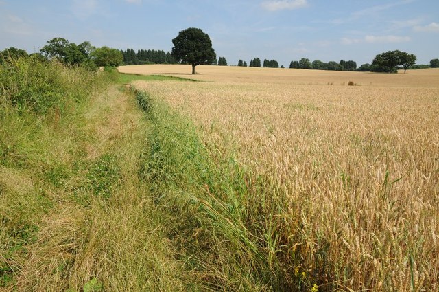
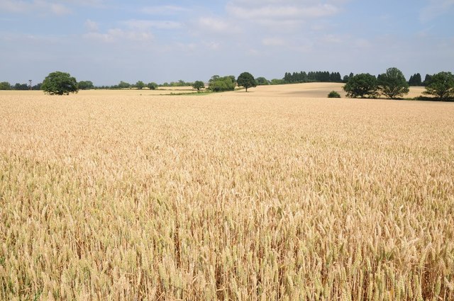
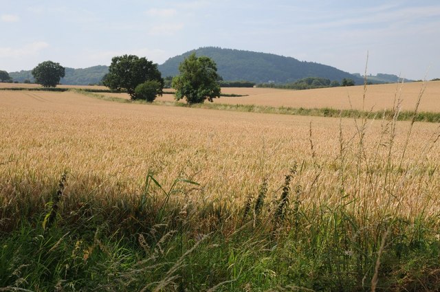
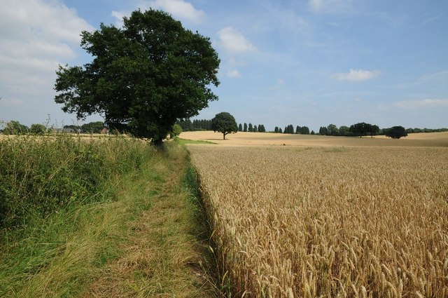
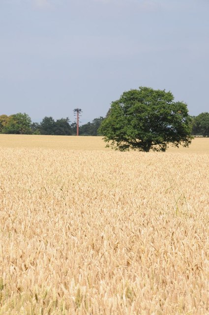
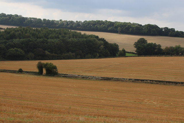
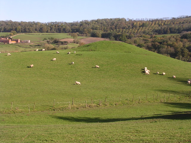
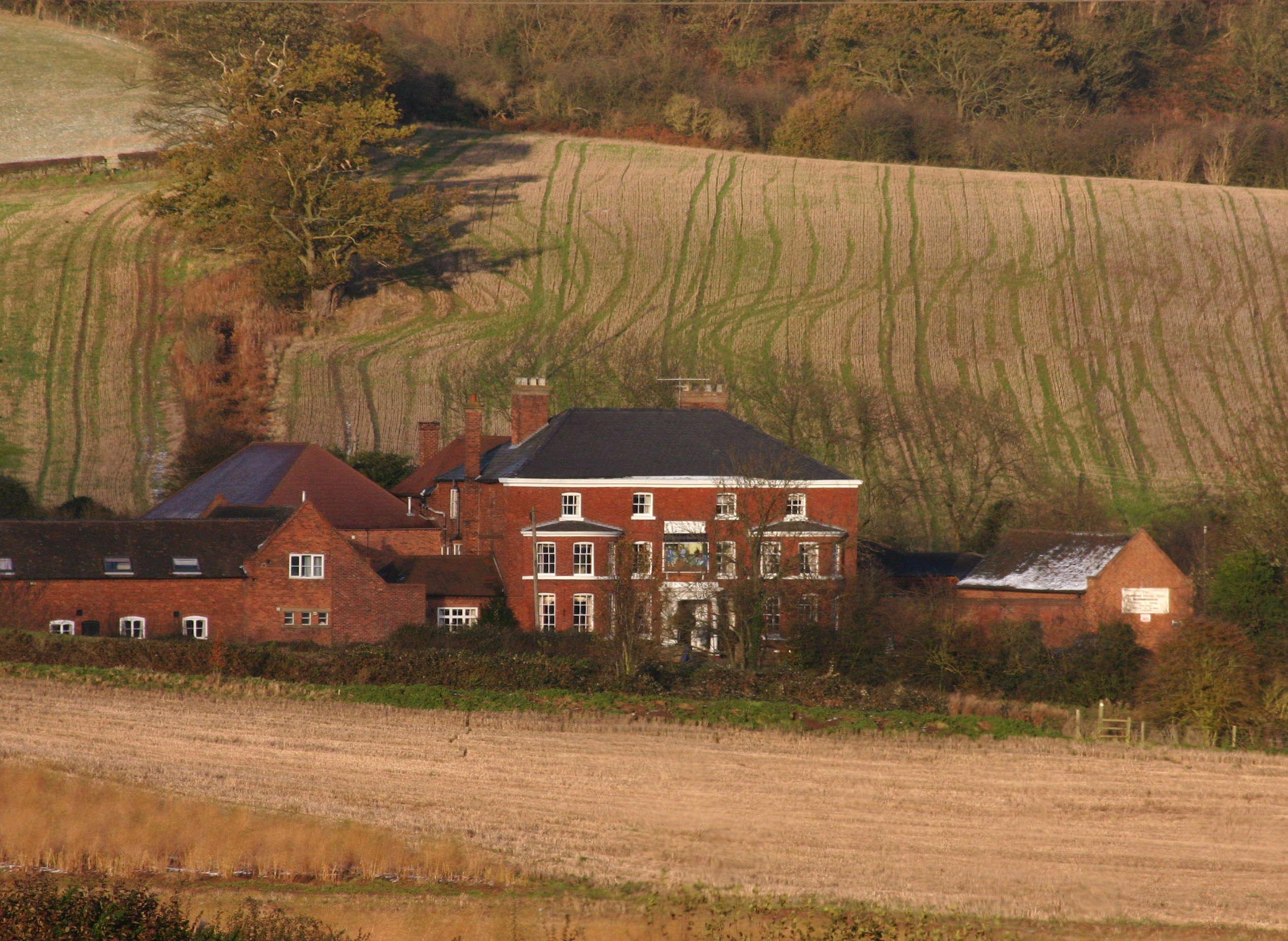
Dundridge Coppice is a picturesque woodland area located in Worcestershire, England. Situated near the village of Dundridge, this beautiful forest covers an area of approximately 100 acres. The coppice is known for its diverse array of flora and fauna, making it an ideal destination for nature enthusiasts and wildlife lovers.

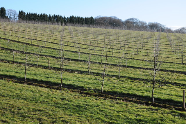
The woodland is primarily composed of broadleaf trees, such as oak, beech, and ash, which create a dense canopy that provides shelter and habitat for a wide range of animals. Visitors to Dundridge Coppice can expect to see an abundance of bird species, including woodpeckers, song thrushes, and tawny owls. Various mammal species also call this forest home, including foxes, badgers, and deer.

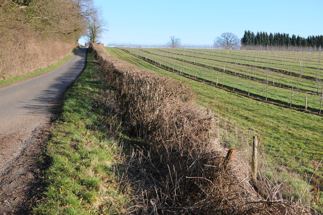
Dundridge Coppice boasts a network of well-maintained walking trails, allowing visitors to explore the forest at their own pace. These trails meander through the forest, offering breathtaking views of the surrounding countryside. The woodland is particularly enchanting during the spring and summer months when the forest floor comes alive with a vibrant carpet of wildflowers, such as bluebells and wood anemones.

In addition to its natural beauty, Dundridge Coppice also holds historical significance. The woodland has been managed as a coppice for centuries, with evidence of traditional woodland management techniques still visible today. This sustainable management practice involves periodically cutting down certain trees to encourage new growth and maintain a healthy ecosystem.

Overall, Dundridge Coppice is a treasured natural area in Worcestershire, offering visitors a tranquil escape into nature and a chance to witness the beauty of a well-preserved woodland habitat.

If you have any feedback on the listing, please let us know in the comments section below.

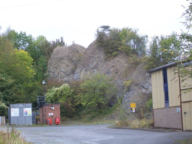
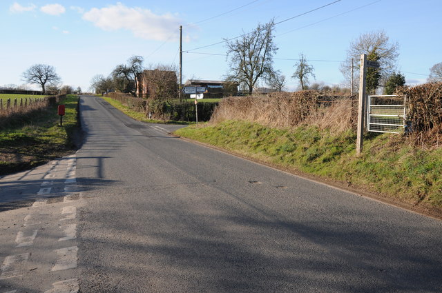
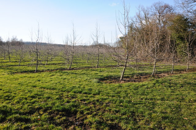
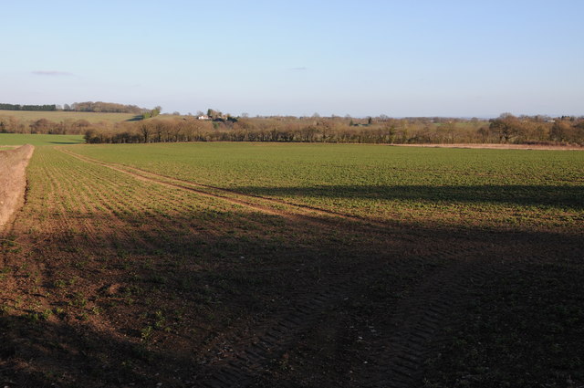
Dundridge Coppice Images

Images are sourced within 2km of 52.263067/-2.3623032 or Grid Reference SO7562. Thanks to Geograph Open Source API. All images are credited.

Penny Hill Quarry A striking fragment of Wenlock Limestone from the Silurian, now one of the sites in the Abberley and Malvern Hills Geopark, accessible through a waste recycling site in the former quarry.
Penny Hill Quarry
A striking fragment of Wenlock Limestone from the Silurian, now one of the sites in the Abberley and Malvern Hills Geopark, accessible through a waste recycling site in the former quarry.
Staggered crossroads Staggered crossroads near Wichenford with the road to the right going to Witton Hill and Rosses lane, a no through road on the left.
Staggered crossroads
Staggered crossroads near Wichenford with the road to the right going to Witton Hill and Rosses lane, a no through road on the left.
Apple trees A young orchard of apple trees near Prickley Green Farm, Martley.
Apple trees
A young orchard of apple trees near Prickley Green Farm, Martley.
Arable land near Martley Arable land to the east of the B4197 to the north of Martley.
Arable land near Martley
Arable land to the east of the B4197 to the north of Martley.
Acres of trees Acres of apple trees at Hockham's Farm.
Acres of trees
Acres of apple trees at Hockham's Farm.
Road to Ockeridge Country road to Ockeridge passing acres of apple orchards.
Road to Ockeridge
Country road to Ockeridge passing acres of apple orchards.
Orchard of apple trees Orchard of apple trees near Hockham's Farm.
Orchard of apple trees
Orchard of apple trees near Hockham's Farm.
Wheat field and Woodbury Hill View across a wheat field with Woodbury Hill in the distance and an oak tree on the horizon on the right.
Wheat field and Woodbury Hill
View across a wheat field with Woodbury Hill in the distance and an oak tree on the horizon on the right.
Bridleway near Bank Farm The bridleway has been slightly realigned to avoid passing through the field and crop of wheat.
Bridleway near Bank Farm
The bridleway has been slightly realigned to avoid passing through the field and crop of wheat.
Fields of gold Wheat fields near Bank Farm near Little Whitley.
Fields of gold
Wheat fields near Bank Farm near Little Whitley.
Wheat fields and Woodbury Hill View across wheat fields to Woodbury Hill.
Wheat fields and Woodbury Hill
View across wheat fields to Woodbury Hill.
Bridleway approaching Bank Farm The bridleway has been realigned to avoid walking through the wheat crop.
Bridleway approaching Bank Farm
The bridleway has been realigned to avoid walking through the wheat crop.
A telecom tower in disguise A telecom tower in disguise attempting to look like a tree.
A telecom tower in disguise
A telecom tower in disguise attempting to look like a tree.
Crop field by Fetterlocks lane
Orchard at Shelsley Beauchamp
Country lane at Shelsley Beauchamp This lane is climbing the steep slopes on the eastern side of the Teme Valley.
Country lane at Shelsley Beauchamp
This lane is climbing the steep slopes on the eastern side of the Teme Valley.
Driveway to The Birche In the village of Shelsley Beauchamp.
Driveway to The Birche
In the village of Shelsley Beauchamp.
Cottages and lane in Shelsley Beauchamp
Show me another place!

Dundridge Coppice is located at Grid Ref: SO7562 (Lat: 52.263067, Lng: -2.3623032)

Administrative County: Worcestershire

District: Malvern Hills

Police Authority: West Mercia

What 3 Words

///awkward.satin.fiction. Near Lower Broadheath, Worcestershire

Nearby Locations

Dundridge Coppice

Related Wikis

Woodbury Hill

Woodbury Hill is a hill near the village of Great Witley, about 5 miles (8 km) south-west of Stourport-on-Severn in Worcestershire, England. It is the...

Ham Castle

Ham Castle (also known as Home or Homme Castle) is located in Worcestershire at the bottom of a wooded escarpment (and close to the River Teme), within...

Shelsley Beauchamp

Shelsley Beauchamp or Great Shelsley is a village and civil parish 9 miles (14 km) north west of Worcester, in the Malvern Hills district, in the county...

Great Witley

Great Witley is a village and civil parish in the Malvern Hills District in the northwest of the county of Worcestershire, England. It is situated around...

Nearby Amenities

Located within 500m of 52.263067,-2.3623032
B4197- Ockeridge Turn
Naptan AtcoCode: 2000G653002
Naptan Bearing: N
Naptan BusStopType: CUS
Naptan CommonName: B4197- Ockeridge Turn
Naptan Indicator: Adj
Naptan Landmark: Ockeridge Turn
Naptan NaptanCode: wocdmtmp
Naptan Street: B4197
Naptan Verified: no
Source: naptan_import
Lat/Long: 52.2636538/-2.3604289
Post Box
Collection Times: Mo-Fr 15:15; Sa 08:30
Post Box Type: lamp
Ref: WR6 318
Royal Cypher: EIIR
Royal Cypher Wikidata: Q33102113
Lat/Long: 52.2635312/-2.3603515
Cherry Cottage
Power: pole
Transformer: distribution
Voltage Primary: 11000
Lat/Long: 52.2667207/-2.3623375
Power: pole
Lat/Long: 52.2670133/-2.3625581
Power: pole
Lat/Long: 52.2673063/-2.3628236
Power: pole
Lat/Long: 52.2657227/-2.3673921
Power: pole
Lat/Long: 52.2648124/-2.3676764
Rodgehill Farm
Power: pole
Transformer: distribution
Voltage Primary: 11000
Lat/Long: 52.2621042/-2.3686916
Power: pole
Lat/Long: 52.2629636/-2.3683503
Power: pole
Lat/Long: 52.2639038/-2.3680184
Power: pole
Lat/Long: 52.2640586/-2.3668993
Power: pole
Lat/Long: 52.2642646/-2.3655126
Power: pole
Lat/Long: 52.2643196/-2.3636819
Prickley Farm
Power: pole
Transformer: distribution
Voltage Primary: 11000
Lat/Long: 52.263246/-2.3574793
Power: pole
Lat/Long: 52.2635423/-2.3574921
Power: pole
Lat/Long: 52.2644566/-2.3575021
Power: pole
Lat/Long: 52.2649118/-2.3575142
Power: pole
Lat/Long: 52.2645572/-2.3587554
Prickley Farm Cottage
Power: pole
Transformer: distribution
Voltage Primary: 11000
Lat/Long: 52.2642666/-2.3597404
Power: pole
Lat/Long: 52.2643007/-2.3603426
Power: pole
Lat/Long: 52.2643799/-2.3619492
Power: pole
Lat/Long: 52.26399/-2.3618594
Power: pole
Lat/Long: 52.2634594/-2.3617233
Power: pole
Lat/Long: 52.2628421/-2.3616596
Power: pole
Lat/Long: 52.2588011/-2.3606323
Rodgehill Farm Bungalow
Power: pole
Transformer: distribution
Voltage Primary: 11000
Lat/Long: 52.262284/-2.3615985
Power: pole
Lat/Long: 52.2614792/-2.3613457
Dundridge Coppice
Power: pole
Transformer: distribution
Voltage Primary: 11000
Lat/Long: 52.2608516/-2.3611499
Power: pole
Lat/Long: 52.2605011/-2.3610601
Power: pole
Lat/Long: 52.2597229/-2.360865
The data included in this document is from www.openstreetmap.org. The data is made available under ODbL.

Have you been to Dundridge Coppice?

Leave your review of Dundridge Coppice below (or comments, questions and feedback).