Hazeldine Wood

Wood, Forest in Worcestershire Forest of Dean

England

Hazeldine Wood

M50 looking west at junction 2
M50 looking west at junction 2 Credit: Colin Pyle

Hazeldine Wood is a picturesque and enchanting forest located in the county of Worcestershire, England. Covering an area of approximately 50 hectares, it is a haven for nature lovers and outdoor enthusiasts alike. The wood is nestled in the heart of the Worcestershire countryside, surrounded by rolling hills and lush green fields.

As visitors enter Hazeldine Wood, they are greeted by a diverse range of flora and fauna. The woodland is predominantly made up of broadleaf trees, including oak, beech, and birch, which create a dense canopy overhead. This provides a peaceful and tranquil atmosphere, perfect for those seeking a retreat from the hustle and bustle of everyday life.

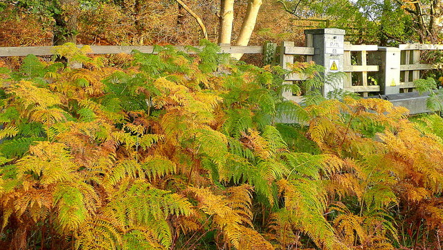
The forest floor is adorned with a carpet of wildflowers, such as bluebells and primroses, which bloom in vibrant colors during the springtime. The wood is also known for its rich biodiversity, providing a habitat for various wildlife species. Squirrels can be spotted scurrying up trees, while birdsong fills the air as a wide range of avian species make their homes in the branches above.

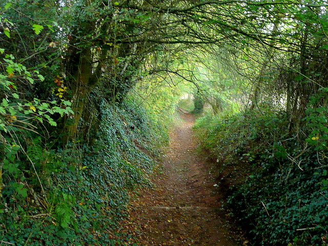
Hazeldine Wood is a popular destination for outdoor activities, offering numerous walking trails and nature trails for visitors to explore. The paths wind their way through the forest, allowing visitors to immerse themselves in the natural beauty that surrounds them. There are also picnic areas and benches scattered throughout the wood, providing the perfect spot to rest and take in the serene surroundings.

Overall, Hazeldine Wood is an idyllic woodland retreat, offering a peaceful escape from the outside world. With its diverse range of flora and fauna, it provides a haven for nature enthusiasts and a place of relaxation and tranquility for all who visit.

If you have any feedback on the listing, please let us know in the comments section below.

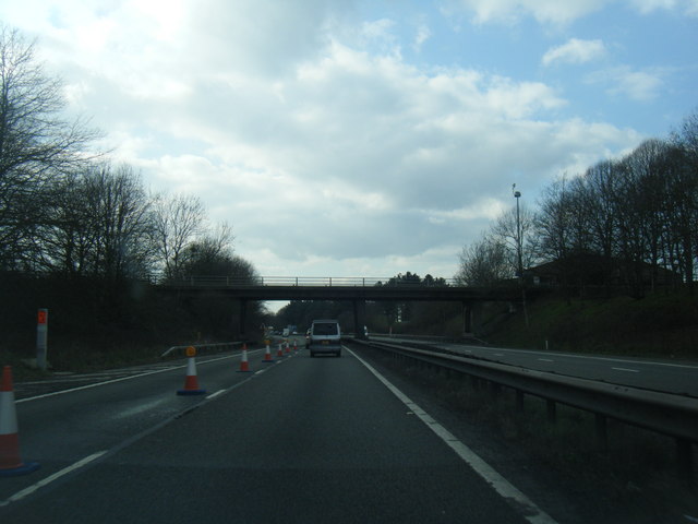
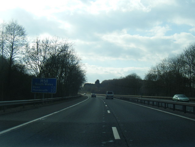
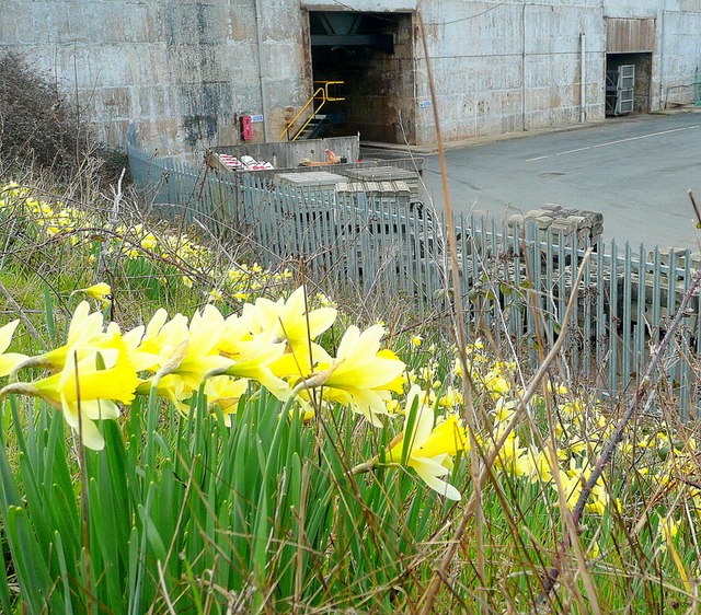
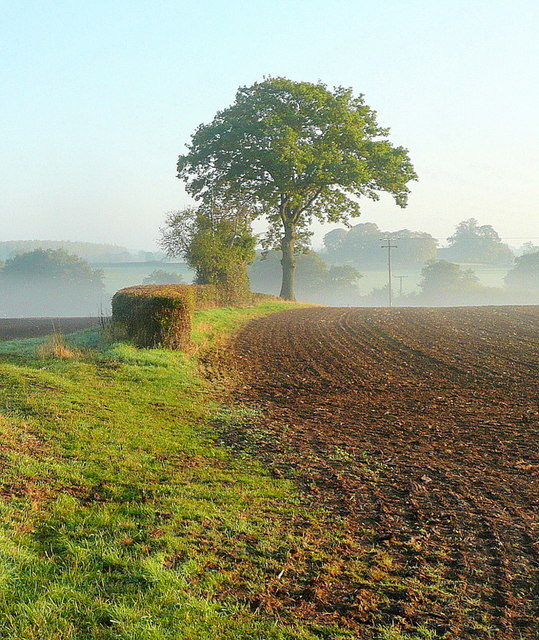
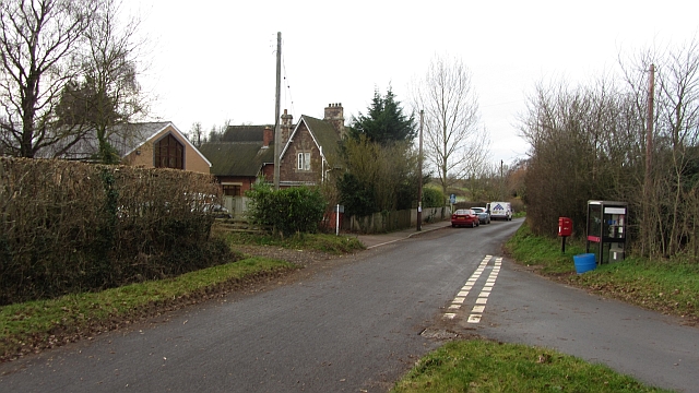
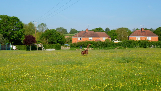
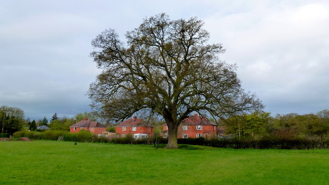
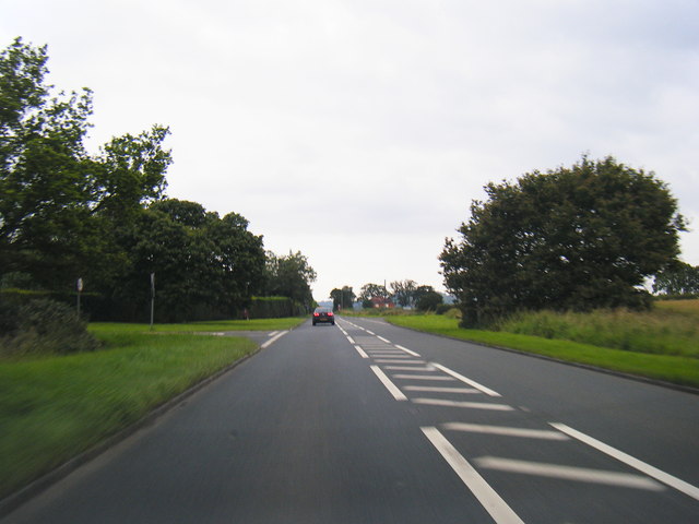
Hazeldine Wood Images

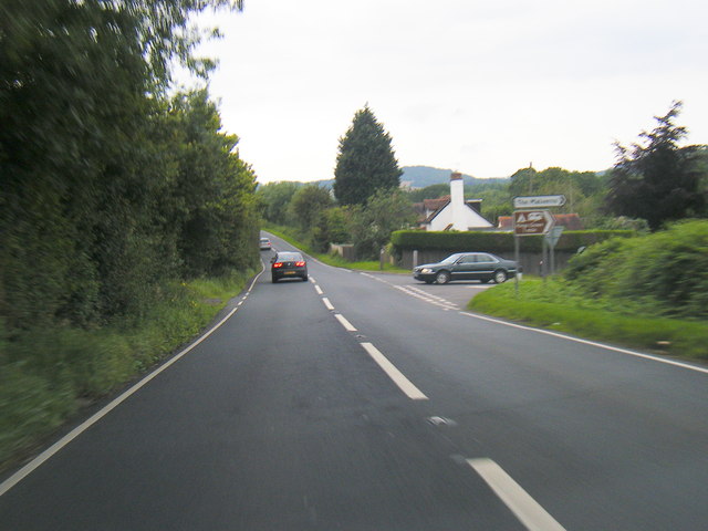
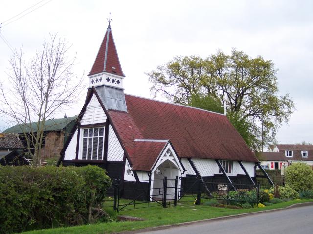
Images are sourced within 2km of 51.987943/-2.3608781 or Grid Reference SO7532. Thanks to Geograph Open Source API. All images are credited.

M50 looking west at junction 2
M50 looking west
M50 looking west
Wild daffodils by the M50 These Narcissus pseudonarcissus clothe the slopes surrounding the Highways Authority depot at Junction 2 of the M50.
Wild daffodils by the M50
These Narcissus pseudonarcissus clothe the slopes surrounding the Highways Authority depot at Junction 2 of the M50.
Weatherboard cottage By the lane from Redmarley to Newent.
Weatherboard cottage
By the lane from Redmarley to Newent.
Autumn edge The morning mist in the shallow Glynch valley is burning off on this fine September day.
Autumn edge
The morning mist in the shallow Glynch valley is burning off on this fine September day.
Redmarley bridleway A country route to Ryton.
Redmarley bridleway
A country route to Ryton.
Tunnel-like bridleway Heading west from Redmarley towards Ryton.
Tunnel-like bridleway
Heading west from Redmarley towards Ryton.
Autumnal dawn The line of the public path from Pound House to Parkgate.
Autumnal dawn
The line of the public path from Pound House to Parkgate.
Sunrise over the M50 Early morning commuters and delivery drivers are out on the nation's road system.
Sunrise over the M50
Early morning commuters and delivery drivers are out on the nation's road system.
Bracken by the M50 Whilst waiting in a traffic queue I noticed this little slice of autumn out of my passenger side window!
Bracken by the M50
Whilst waiting in a traffic queue I noticed this little slice of autumn out of my passenger side window!
A big grass field, Bromesberrow Looking towards the limestone hills at Ledbury, beyond Bromesberrow Court and church.
A big grass field, Bromesberrow
Looking towards the limestone hills at Ledbury, beyond Bromesberrow Court and church.
School, Bromesberrow Village primary school and telephone box seen from the green.
School, Bromesberrow
Village primary school and telephone box seen from the green.
Memorial to Marie Every spring this floral tribute by the M50 reminds me of the tragic and as yet (2012) unsolved murder of Marie Wilks in June 1988; see <span class="nowrap"><a title="http://www.bbc.co.uk/herefordandworcester/content/articles/2008/05/14/m50_marie_wilks_timeline_feature.shtml" rel="nofollow ugc noopener" href="http://www.bbc.co.uk/herefordandworcester/content/articles/2008/05/14/m50_marie_wilks_timeline_feature.shtml">Link</a><img style="margin-left:2px;" alt="External link" title="External link - shift click to open in new window" src="https://s1.geograph.org.uk/img/external.png" width="10" height="10"/></span>
Memorial to Marie
Every spring this floral tribute by the M50 reminds me of the tragic and as yet (2012) unsolved murder of Marie Wilks in June 1988; see LinkExternal link
The Redmarley Giraffe Another sculpture in a public setting.
This metal animal can be seen from the A417 at playley Green.
The Redmarley Giraffe
Another sculpture in a public setting. This metal animal can be seen from the A417 at playley Green.
Redmarley oak Photo taken pre-leafing on this cold wet April morning.
Redmarley oak
Photo taken pre-leafing on this cold wet April morning.
A417 at Playley Green
A417 near Hanover Green
A417; early morning Looking north on a fine early autumn day towards the southern end of the Malvern Hills in the blue distance.
A417; early morning
Looking north on a fine early autumn day towards the southern end of the Malvern Hills in the blue distance.
Show me another place!

Hazeldine Wood is located at Grid Ref: SO7532 (Lat: 51.987943, Lng: -2.3608781)

Administrative County: Gloucestershire

District: Forest of Dean

Police Authority: Gloucestershire

What 3 Words

///shall.juicy.mercy. Near Donnington, Herefordshire

Nearby Locations

Hazeldine Wood

Related Wikis

Redmarley D'Abitot

Redmarley D'Abitot is a civil parish and village in the Forest of Dean district, Gloucestershire, South West England. In addition to the village of Redmarley...

Bromsberrow

Bromsberrow (or Bromesberrow) is part of the Forest of Dean district. The village is close to the meeting point between Gloucestershire, Herefordshire...

Three Counties (Gloucestershire, Herefordshire and Worcestershire)

The Three Counties of England are traditionally the three agrarian counties of Gloucestershire, Herefordshire and Worcestershire.Including towns and cities...

Pendock

Pendock is a village and civil parish in the Malvern Hills district in the county of Worcestershire, England, situated about halfway between the towns...

Ketford Bank

Ketford Bank (grid reference SO723308) is a 0.69-hectare (1.7-acre) nature reserve in Gloucestershire.The site is owned and managed by the Gloucestershire...
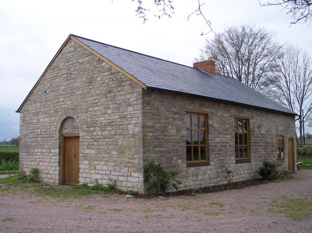
Gadfield Elm Chapel

The Gadfield Elm Chapel near the village of Pendock in Worcestershire, England, is the oldest extant chapel of the Church of Jesus Christ of Latter-day...

Whiteleaved Oak

Whiteleaved Oak is a hamlet in the English county of Herefordshire, lying in a valley at the southern end of the Malvern Hills between Raggedstone Hill...

Raggedstone Hill

Raggedstone Hill is situated on the range of Malvern Hills that runs approximately 13 kilometres (8 mi) north-south along the Herefordshire-Worcestershire...

Nearby Amenities

Located within 500m of 51.987943,-2.3608781
Man Made: water_well
Source: OS 1:25k
Lat/Long: 51.9887105/-2.3670801
Man Made: water_well
Source: OS 1:25k
Lat/Long: 51.9888427/-2.3618659
Pfera Hall Reservoir
Power: pole
Transformer: distribution
Voltage Primary: 11000
Lat/Long: 51.9874054/-2.3611566
Power: pole
Lat/Long: 51.9879674/-2.3612452
Power: pole
Lat/Long: 51.9875792/-2.3633386
Pfera Hall
Power: pole
Transformer: distribution
Voltage Primary: 11000
Lat/Long: 51.9868277/-2.3639066
Power: pole
Lat/Long: 51.9884751/-2.3626647
Power: pole
Lat/Long: 51.9886451/-2.3639528
Power: pole
Lat/Long: 51.9885455/-2.364382
Fairfields House
Power: pole
Transformer: distribution
Voltage Primary: 11000
Lat/Long: 51.9883845/-2.365587
Power: pole
Lat/Long: 51.9886161/-2.3673472
Communication Mobile Phone: yes
Man Made: mast
Tower Type: communication
Lat/Long: 51.9880626/-2.3598367
Communication Mobile Phone: yes
Man Made: mast
Tower Type: communication
Lat/Long: 51.9876216/-2.3600701
The data included in this document is from www.openstreetmap.org. The data is made available under ODbL.

Have you been to Hazeldine Wood?

Leave your review of Hazeldine Wood below (or comments, questions and feedback).