Broughton Birches

Wood, Forest in Staffordshire Stafford

England

Broughton Birches

Free Gospel Chapel The Chapel, built in 1874 according to the stone above the door, appears to be under development for residential use.
Free Gospel Chapel Credit: Peter Fleming

Broughton Birches is a picturesque woodland area located in the county of Staffordshire, England. Encompassing an area of approximately 200 acres, this woodland is known for its diverse range of tree species, making it a haven for nature enthusiasts and outdoor adventurers alike.

The forest is primarily composed of birch trees, which give the area its name. However, visitors will also find a variety of other tree species, including oak, beech, and pine. This diverse ecosystem provides a rich habitat for a wide range of wildlife, including squirrels, rabbits, deer, and an array of bird species.

Broughton Birches offers several walking trails that meander through the forest, allowing visitors to explore and appreciate the natural beauty of the area. These trails vary in difficulty and length, catering to both casual strollers and avid hikers. Along the paths, visitors can enjoy the peaceful ambiance of the woodland, listen to the soothing sounds of birdsong, and breathe in the fresh, crisp air.

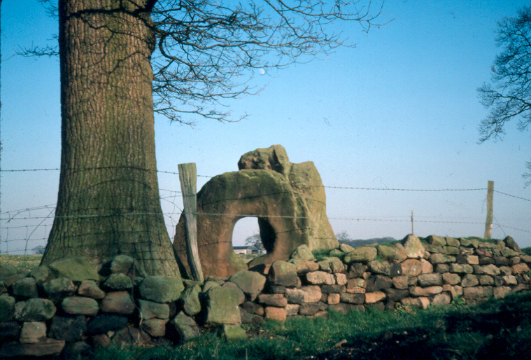
In addition to its natural beauty, Broughton Birches also holds historical significance. The woodland was once part of a larger estate and has remnants of old stone walls and structures that harken back to its past. These historical artifacts add a touch of intrigue to the forest and provide a glimpse into its storied past.

Overall, Broughton Birches in Staffordshire is a tranquil and breathtaking woodland, offering visitors a chance to immerse themselves in nature, enjoy peaceful walks, and discover the rich history of the area.

If you have any feedback on the listing, please let us know in the comments section below.

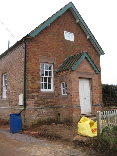
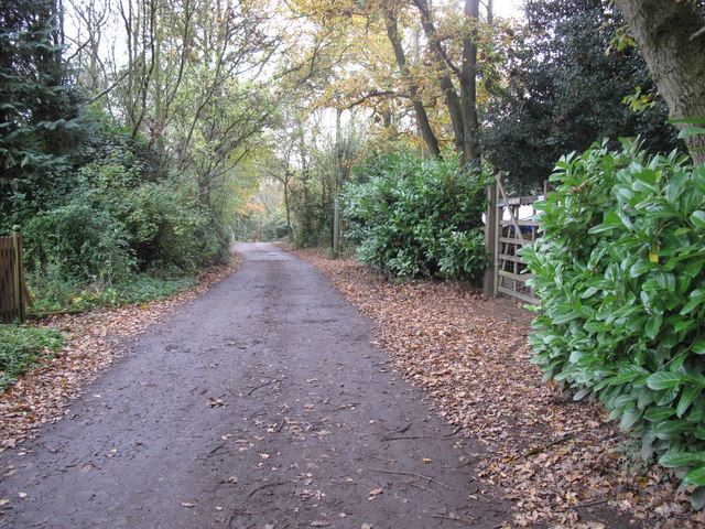
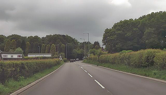
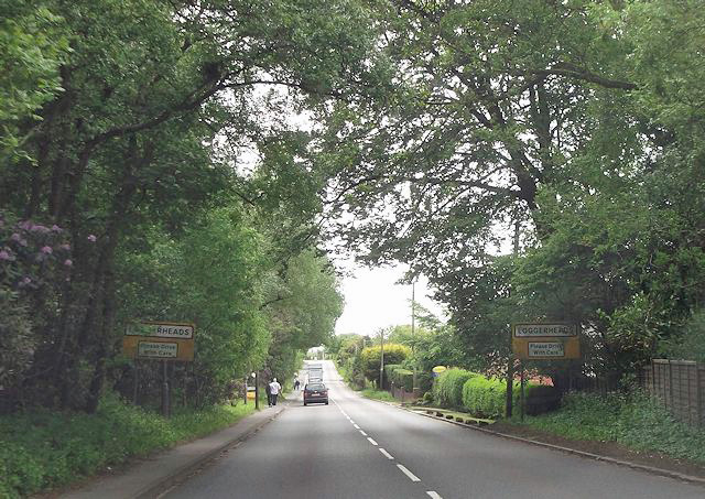
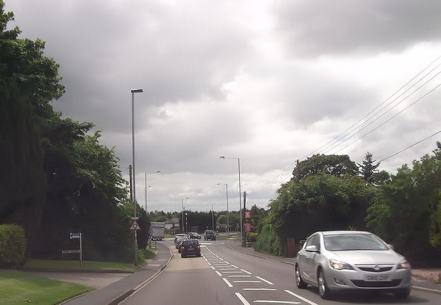
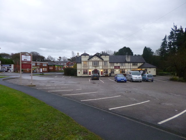
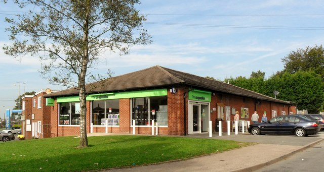
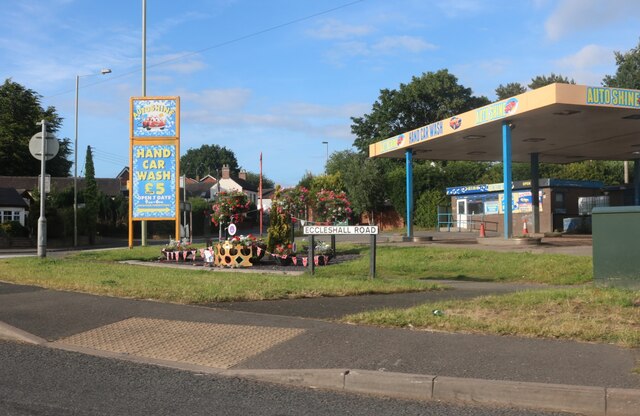
Broughton Birches Images

Images are sourced within 2km of 52.907786/-2.3701755 or Grid Reference SJ7534. Thanks to Geograph Open Source API. All images are credited.

Free Gospel Chapel The Chapel, built in 1874 according to the stone above the door, appears to be under development for residential use.
Free Gospel Chapel
The Chapel, built in 1874 according to the stone above the door, appears to be under development for residential use.
Ashley Heath Park at end of Tower Road on grey dry morning. Top on road beside house called Whinberry whose owner wondered what I was doing with my camera and GPS.
Name: Ashley Heath
Hill number: 5391
Height: 236m / 774ft
Area: 36: Lancashire, Cheshire & the Southern Pennines
Class: Hu
Grid ref: SJ745357 (est)
Drop: 119m
Col: 117m  SJ792406
Ashley Heath
Park at end of Tower Road on grey dry morning. Top on road beside house called Whinberry whose owner wondered what I was doing with my camera and GPS. Name: Ashley Heath Hill number: 5391 Height: 236m / 774ft Area: 36: Lancashire, Cheshire & the Southern Pennines Class: Hu Grid ref: SJ745357 (est) Drop: 119m Col: 117m SJ792406
A53 approaching Ashley Heath
A53 at Loggerheads
A53 at Loggerheads
Loggerheads roundabout from A53
Loggerheads, The Loggerheads Brewer's Tudor-style pub on A53; of the accessible area, back bar, with drinking area front and right; wooden beams, Artex plasterwork, some exposed stonework; dining at the back. Cask ales on offer at my visit: Greene King Abbot, Wells Bombardier & Good Stuffing.
Loggerheads, The Loggerheads
Brewer's Tudor-style pub on A53; of the accessible area, back bar, with drinking area front and right; wooden beams, Artex plasterwork, some exposed stonework; dining at the back. Cask ales on offer at my visit: Greene King Abbot, Wells Bombardier & Good Stuffing.
Co-Operative store, Loggerheads
Eccleshall Road at the corner of Newcastle Road
Mandalay Chinese and Thai Takeaway, Loggerheads Mandalay's in Burma. Go figure.
Mandalay Chinese and Thai Takeaway, Loggerheads
Mandalay's in Burma. Go figure.
Eccleshall Road, Loggerheads This is the first village I have come across named after a pub (it's on the right of this location), but many local areas such as Baker's Arms and Nag's Head in London, which do appear on signposts but are part of other suburbs.
Eccleshall Road, Loggerheads
This is the first village I have come across named after a pub (it's on the right of this location), but many local areas such as Baker's Arms and Nag's Head in London, which do appear on signposts but are part of other suburbs.
The Loggerheads Pub, Loggerheads The village is named after the pub, and unlike the current meaning loggerheads meant fools, and this was originally the Three Loggerheads. <span class="nowrap"><a title="https://en.wikipedia.org/wiki/Loggerheads,_Staffordshire" rel="nofollow ugc noopener" href="https://en.wikipedia.org/wiki/Loggerheads,_Staffordshire">Link</a><img style="margin-left:2px;" alt="External link" title="External link - shift click to open in new window" src="https://s1.geograph.org.uk/img/external.png" width="10" height="10"/></span>
The Loggerheads Pub, Loggerheads
The village is named after the pub, and unlike the current meaning loggerheads meant fools, and this was originally the Three Loggerheads. LinkExternal link
Eccleshall Road at the corner of Newcastle Road
Eccleshall Road, Loggerheads
A road to be in Loggerheads As with Leighton View the other side of town this field will become the road in the picture.
A road to be in Loggerheads
As with Leighton View the other side of town this field will become the road in the picture.
The entrance to Hugo Meynell Primary School, Loggerheads Hugo Meynell was a local politician and Master of Foxhounds for the Quorn Hunt. <span class="nowrap"><a title="https://en.wikipedia.org/wiki/Hugo_Meynell" rel="nofollow ugc noopener" href="https://en.wikipedia.org/wiki/Hugo_Meynell">Link</a><img style="margin-left:2px;" alt="External link" title="External link - shift click to open in new window" src="https://s1.geograph.org.uk/img/external.png" width="10" height="10"/></span>
The entrance to Hugo Meynell Primary School, Loggerheads
Hugo Meynell was a local politician and Master of Foxhounds for the Quorn Hunt. LinkExternal link
Bungalow on Mucklestone Road, Loggerheads
Autoshine car wash in Loggerheads.
Eccleshall Road, Hookgate
Show me another place!

Broughton Birches is located at Grid Ref: SJ7534 (Lat: 52.907786, Lng: -2.3701755)

Administrative County: Staffordshire

District: Stafford

Police Authority: Staffordshire

What 3 Words

///port.headless.giggles. Near Standon, Staffordshire

Nearby Locations

Broughton Birches New Wood

Related Wikis

Loggerheads, Staffordshire

Loggerheads is a village and civil parish in north-west Staffordshire, England, on the A53 between Market Drayton and Newcastle-under-Lyme. == Name... ==

Ashley, Staffordshire

Ashley is a village and former civil parish, now in the parish of Loggerheads, in the Newcastle-under-Lyme district, in the county of Staffordshire, England...

Blore Heath Rural District

Blore Heath was a rural district in Staffordshire, England from 1894 to 1932. It was created under the Local Government Act 1894 from that part of the...

Armsdale

Armsdale is a village in Staffordshire, England. Population details for the 2011 census can be found under Eccleshall.

Battle of Blore Heath

The Battle of Blore Heath was a battle in the English Wars of the Roses that was fought on 23 September 1459, at Blore Heath, Staffordshire. Blore Heath...

Audley's Cross

Audley's Cross is a cross sited in Blore Heath, Staffordshire to mark the spot on which James Touchet, Lord Audley was killed at the battle of Blore Heath...

Hales, Staffordshire

Hales is a village in Staffordshire approximately 2 miles east of Market Drayton. Population details as taken at the 2011 census can be found under Loggerheads...

Mucklestone

Mucklestone is a village and former civil parish, now in the parish of Loggerheads, in the Newcastle-under-Lyme district, in the county of Staffordshire...

Nearby Amenities

Located within 500m of 52.907786,-2.3701755
Power: pole
Lat/Long: 52.9072066/-2.3759488
Power: pole
Lat/Long: 52.9033419/-2.3701767
Power: pole
Lat/Long: 52.9068491/-2.3756993
Power: pole
Lat/Long: 52.9040231/-2.372143
Power: pole
Lat/Long: 52.9046831/-2.3740795
Power: pole
Lat/Long: 52.9075649/-2.3759127
Power: pole
Lat/Long: 52.9067863/-2.3754259
Power: pole
Lat/Long: 52.9057141/-2.3747234
Power: pole
Lat/Long: 52.9059148/-2.3751116
Power: pole
Lat/Long: 52.9049373/-2.3744954
Power: pole
Lat/Long: 52.9082144/-2.3766063
Power: pole
Lat/Long: 52.9091853/-2.377218
Power: pole
Lat/Long: 52.9116757/-2.3665678
Power: pole
Lat/Long: 52.9116394/-2.3675199
Power: pole
Lat/Long: 52.9115604/-2.369109
Power: pole
Lat/Long: 52.9114921/-2.3707122
Power: pole
Lat/Long: 52.9114345/-2.3719863
The data included in this document is from www.openstreetmap.org. The data is made available under ODbL.

Have you been to Broughton Birches?

Leave your review of Broughton Birches below (or comments, questions and feedback).