Stocking Coppice

Wood, Forest in Herefordshire

England

Stocking Coppice

A4103 at Storridge
A4103 at Storridge Credit: Peter Whatley

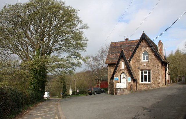
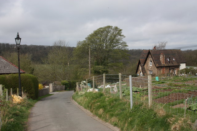
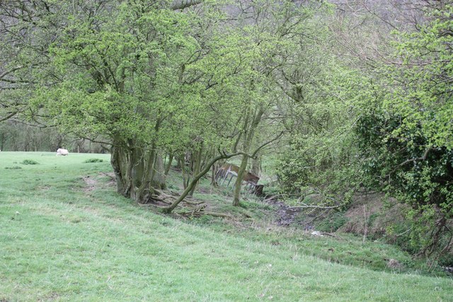
Stocking Coppice is a picturesque woodland located in Herefordshire, England. Covering an area of approximately 100 acres, it is nestled in the heart of the county and offers visitors a peaceful and tranquil retreat. The coppice is primarily made up of deciduous trees, including oak, ash, birch, and beech, creating a diverse and vibrant ecosystem.

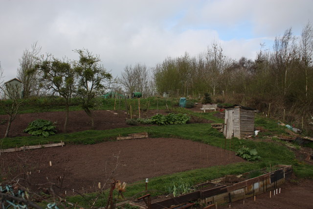
The woodland is well-maintained and managed by local conservation groups, ensuring its preservation and promoting biodiversity. It is home to a variety of wildlife, including deer, badgers, foxes, and a wide range of bird species, making it a popular spot for nature enthusiasts and birdwatchers.

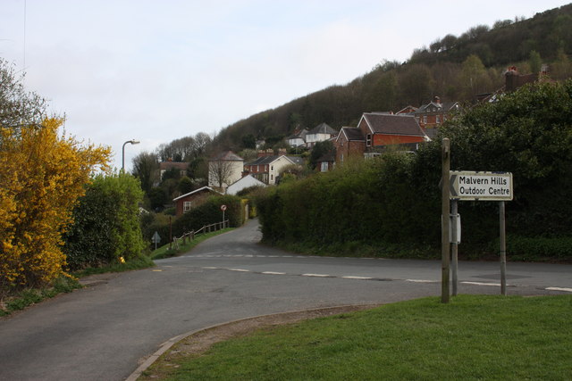
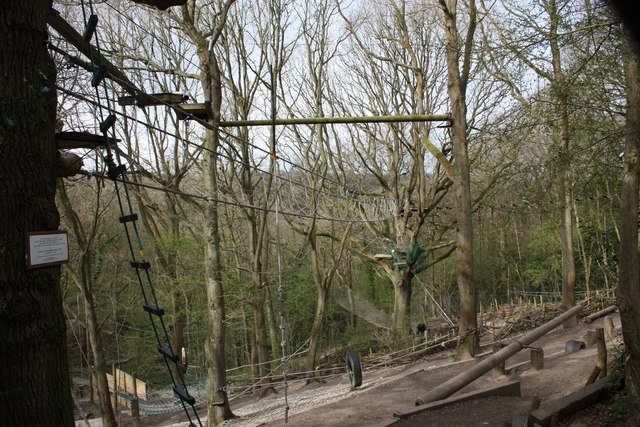
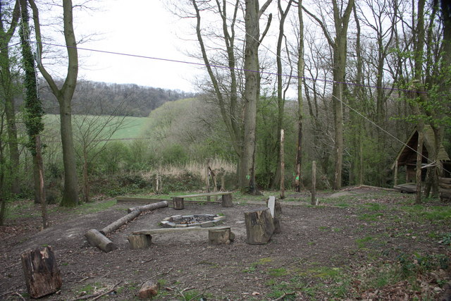
Visitors to Stocking Coppice can enjoy a network of well-maintained walking trails, allowing them to explore the forest and take in its natural beauty. The pathways wind through the trees, offering glimpses of sun-dappled clearings and babbling brooks. There are also picnic areas and benches scattered throughout the woodland, providing opportunities for visitors to relax and soak in the peaceful atmosphere.

In addition to its natural beauty, Stocking Coppice holds historical significance. The woodland has been used for centuries as a source of timber, providing wood for various purposes such as construction and fuel. The remnants of old saw pits and charcoal platforms can still be found, serving as reminders of the coppice's industrial past.

Overall, Stocking Coppice is a haven for nature lovers and those seeking a tranquil escape. Its stunning woodland, diverse wildlife, and rich history make it a must-visit destination in Herefordshire.

If you have any feedback on the listing, please let us know in the comments section below.

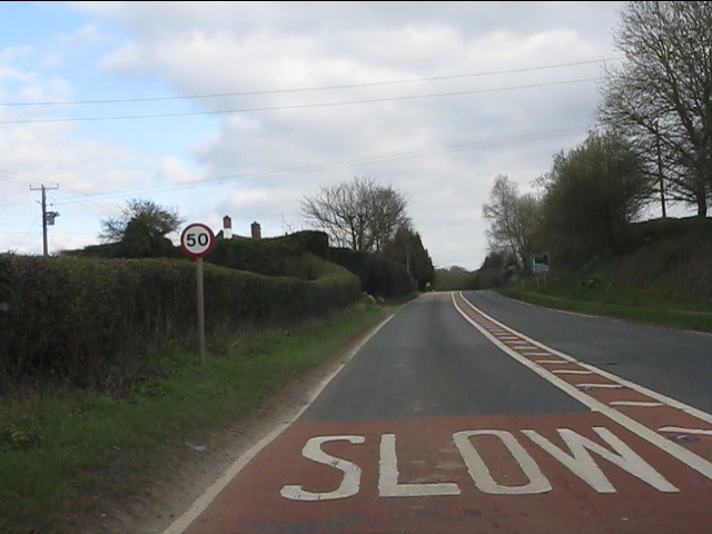
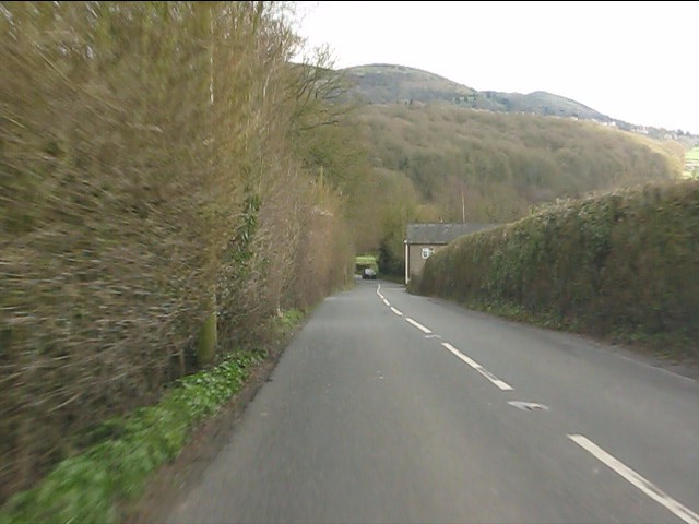
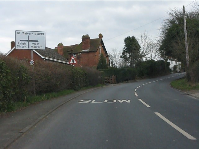
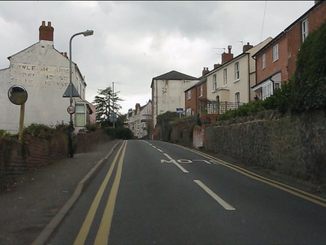
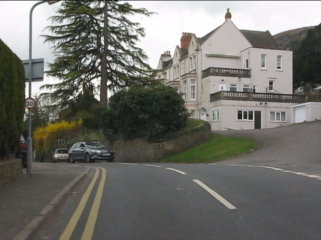
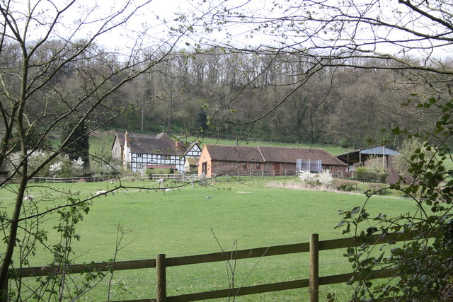
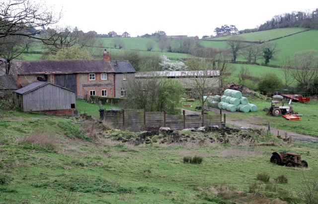
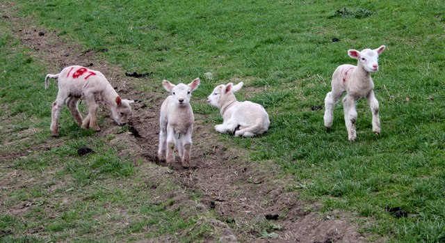
Stocking Coppice Images

Images are sourced within 2km of 52.129049/-2.3644136 or Grid Reference SO7547. Thanks to Geograph Open Source API. All images are credited.

A4103 at Storridge
A4103 at Storridge
Cowleigh Road near Rough Hill Wood
North Malvern - Cowleigh Road approaching Cowleigh Bank crossroads
North Malvern - Cowleigh Road Faded lettering on the building on the left reveals it to once have been the Cowleigh Arms free house and off licence.  It is now a private dwelling.
North Malvern - Cowleigh Road
Faded lettering on the building on the left reveals it to once have been the Cowleigh Arms free house and off licence. It is now a private dwelling.
North Malvern - building at the junction of Cowleigh Road and Old Hollow
Cowleigh Gate Farm From near the ford through Whippets Brook in Cowleigh Park.
Cowleigh Gate Farm
From near the ford through Whippets Brook in Cowleigh Park.
Birches Farm In the valley of the Whippets Brook between the limestone ridge to the west and the granite of the Malvern Hills to the east.
Birches Farm
In the valley of the Whippets Brook between the limestone ridge to the west and the granite of the Malvern Hills to the east.
Young lambs near Birches Farm The lambs are numbered to match their mothers.
They seemed to gather on the footpath and appeared more curious than cautious - until their anxious mothers called to them.
Young lambs near Birches Farm
The lambs are numbered to match their mothers. They seemed to gather on the footpath and appeared more curious than cautious - until their anxious mothers called to them.
Reception, West Malvern Outdoor Centre Dating back to the open air school of 1914.
"The main focus of a visit to the centre is the residential experience, incorporating activities designed to challenge and stretch participants."
<span class="nowrap"><a title="http://www.worcestershire.gov.uk/cms/education-and-learning/be-healthy/outdoor-education-centres/malvern-hills-oec.aspx" rel="nofollow ugc noopener" href="http://www.worcestershire.gov.uk/cms/education-and-learning/be-healthy/outdoor-education-centres/malvern-hills-oec.aspx">Link</a><img style="margin-left:2px;" alt="External link" title="External link - shift click to open in new window" src="https://s1.geograph.org.uk/img/external.png" width="10" height="10"/></span>
Reception, West Malvern Outdoor Centre
Dating back to the open air school of 1914. "The main focus of a visit to the centre is the residential experience, incorporating activities designed to challenge and stretch participants." LinkExternal link
Old Hollow, West Malvern The junction with the narrow road to the outdoor education centre.
Old Hollow, West Malvern
The junction with the narrow road to the outdoor education centre.
The road to West Malvern Outdoor Centre The narrow lane is still lit with the old gas lamps.
The building on the right is the reception office for the outdoor centre.
The road to West Malvern Outdoor Centre
The narrow lane is still lit with the old gas lamps. The building on the right is the reception office for the outdoor centre.
West Malvern allotments Just off the road to the outdoor centre.
The apple trees are bristling with mistletoe.
West Malvern allotments
Just off the road to the outdoor centre. The apple trees are bristling with mistletoe.
Confidence course The plaque on the tree reads:
This Confidence Course at
West Malvern Outdoor Education Centre
was designed and erected by
the staff of the centre and opened for use by
Colonel J.N. Blashford Snell MBE
on January 12th 1991
"To encourage the development of confidence, trust and self-control"
Education Department
Hereford and Worcester County Council
Confidence course
The plaque on the tree reads: This Confidence Course at West Malvern Outdoor Education Centre was designed and erected by the staff of the centre and opened for use by Colonel J.N. Blashford Snell MBE on January 12th 1991 "To encourage the development of confidence, trust and self-control" Education Department Hereford and Worcester County Council
Camp fire, West Malvern Outdoor Education Centre Just below the ropes and confidence course.
Camp fire, West Malvern Outdoor Education Centre
Just below the ropes and confidence course.
Field boundary and stream near Birches Farm The trees are slowly spreading into the field.
Field boundary and stream near Birches Farm
The trees are slowly spreading into the field.
Ewes and lambs near Birches Farm Looking back along the bridleway towards the farm with West Malvern and North hill beyond.
Ewes and lambs near Birches Farm
Looking back along the bridleway towards the farm with West Malvern and North hill beyond.
Storridge church
Storridge church
Farm at Storridge
Farm at Storridge
Show me another place!

Stocking Coppice is located at Grid Ref: SO7547 (Lat: 52.129049, Lng: -2.3644136)

Unitary Authority: County of Herefordshire

Police Authority: West Mercia

What 3 Words

///tastier.sailing.tramps. Near Great Malvern, Worcestershire

Related Wikis

Cradley, Herefordshire

Cradley () is a village in the civil parish of Cradley and Storridge, in Herefordshire, England. The nearest Herefordshire to Cradley towns are Ledbury...

Church of St Peter, Cowleigh

The Church of St Peter, Cowleigh, is a Grade II listed Anglican church in the parish of Malvern Link and Cowleigh. It was built in 1865, and was designed...

End Hill

End Hill is the northernmost top of the Malvern Hills that runs approximately 13 kilometres (8 mi) north-south along the Herefordshire-Worcestershire border...

West Malvern

West Malvern is a village and a civil parish on the west side of the north part of the Malvern Hills, on the western edge of Worcestershire, England. It...

North Malvern

North Malvern is a suburb of Malvern, Worcestershire, England. It nestles on the northern slopes of the Malvern Hills. It is a contiguous urban extension...

Regents Theological College

Regents Theological College is a theological college in Malvern, Worcestershire, England. It is the training centre of the Elim Pentecostal Church. First...

Radar Research and Development Establishment

The Radar Research and Development Establishment, RRDE for short, was a civilian research organization run by the United Kingdom's Ministry of Supply that...
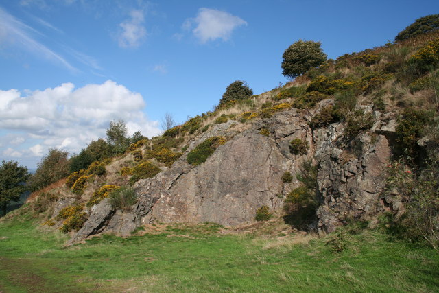
Table Hill

Table Hill is situated in the range of Malvern Hills that runs about 13 kilometres (8 mi) north-south along the Herefordshire-Worcestershire border. It...

Nearby Amenities

Located within 500m of 52.129049,-2.3644136
Fixme: incomplete
Lat/Long: 52.1257192/-2.3595739
Barrier: stile
Lat/Long: 52.1301627/-2.3650175
Barrier: stile
Lat/Long: 52.1306709/-2.3658151
Power: pole
Lat/Long: 52.1283571/-2.3588446
Power: pole
Lat/Long: 52.1250058/-2.3663112
Upper Vinesend
Power: pole
Transformer: distribution
Voltage Primary: 11000
Lat/Long: 52.1252441/-2.3655769
Power: pole
Lat/Long: 52.1255385/-2.3646274
Power: pole
Lat/Long: 52.1258341/-2.3636699
Power: pole
Lat/Long: 52.1265413/-2.3628505
Power: pole
Lat/Long: 52.1271909/-2.3621008
Power: pole
Lat/Long: 52.1275392/-2.3616743
Power: pole
Lat/Long: 52.1277393/-2.3609769
Power: pole
Lat/Long: 52.1280184/-2.3599979
Cowleigh Gate
Power: pole
Transformer: distribution
Voltage Primary: 11000
Lat/Long: 52.1284596/-2.3588741
Location Transition: yes
Power: pole
Lat/Long: 52.1291298/-2.3590846
Power: pole
Lat/Long: 52.1297044/-2.3592389
Power: pole
Lat/Long: 52.1303894/-2.3594776
Whitmans Hill Farm
Power: pole
Transformer: distribution
Voltage Primary: 11000
Lat/Long: 52.1318383/-2.3639958
Power: pole
Lat/Long: 52.1316922/-2.363232
Power: pole
Lat/Long: 52.1314662/-2.3620203
Power: pole
Lat/Long: 52.1312637/-2.3609488
Power: pole
Lat/Long: 52.1310217/-2.359672
Power: pole
Lat/Long: 52.1317169/-2.359896
Power: pole
Lat/Long: 52.1324944/-2.3597599
The data included in this document is from www.openstreetmap.org. The data is made available under ODbL.

Have you been to Stocking Coppice?

Leave your review of Stocking Coppice below (or comments, questions and feedback).