Heron Grove

Wood, Forest in Dorset

England

Heron Grove

Ilsington Road towards Tincleton
Ilsington Road towards Tincleton Credit: JThomas

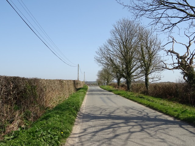
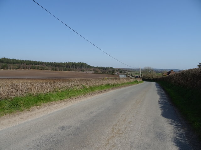
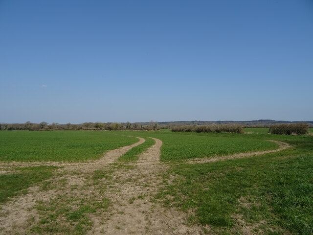
Heron Grove is a picturesque woodland located in the heart of Dorset, England. Situated amidst the natural beauty of the region, this forested area spans over several acres and is a popular destination for nature lovers and outdoor enthusiasts alike.

The grove is characterized by an abundance of tall, majestic trees, predominantly oak and beech, which create a dense canopy overhead, providing a cool and tranquil environment. The forest floor is blanketed with a thick layer of moss, ferns, and wildflowers, adding to the enchanting atmosphere of the grove.

Heron Grove is home to a diverse array of wildlife, including numerous species of birds, such as herons, owls, and woodpeckers, which give the grove its name. The forest is also inhabited by deer, foxes, and squirrels, making it a haven for animal enthusiasts and photographers.

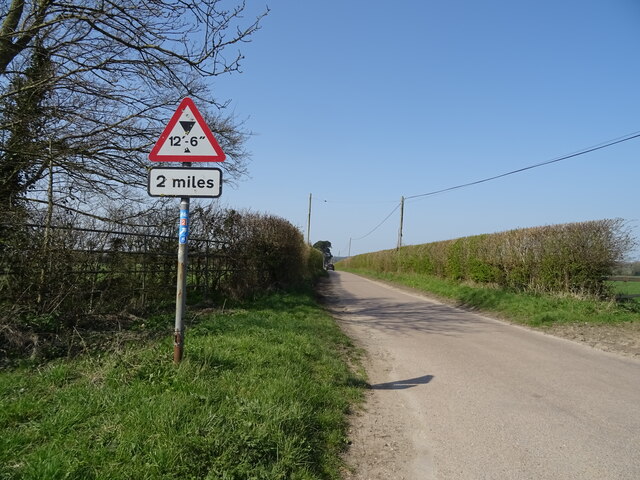
Tranquil walking trails meander through the grove, allowing visitors to explore its natural beauty at their own pace. The trails are well-maintained, and signposts provide information about the various plant and animal species that can be found within the forest.

In addition to its natural allure, Heron Grove offers visitors a range of recreational activities. Picnic areas are scattered throughout the forest, providing the perfect spot for a leisurely lunch amidst nature. The grove also features a designated camping area for those who wish to spend a night under the starlit sky.

Overall, Heron Grove in Dorset is a stunning woodland retreat that offers a peaceful escape from the hustle and bustle of everyday life. Its natural beauty, diverse wildlife, and recreational opportunities make it a must-visit destination for all nature enthusiasts.

If you have any feedback on the listing, please let us know in the comments section below.
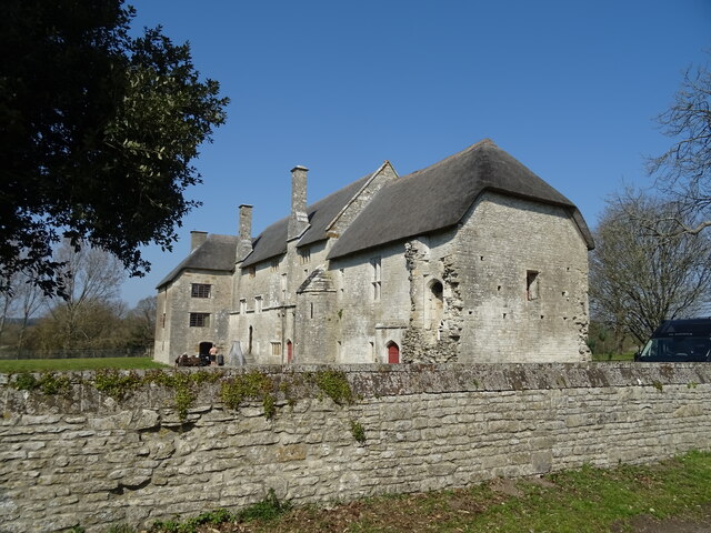
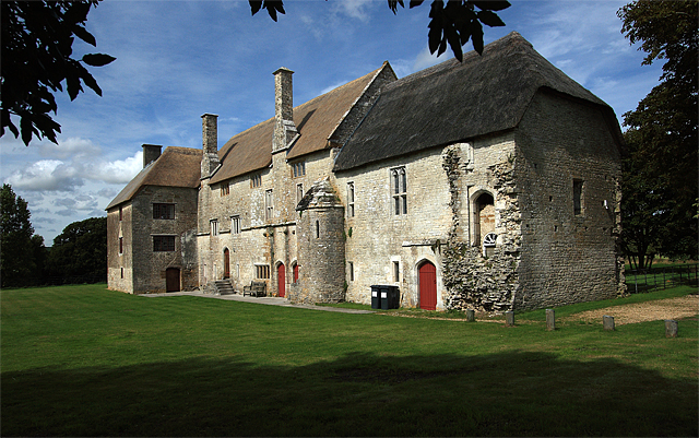
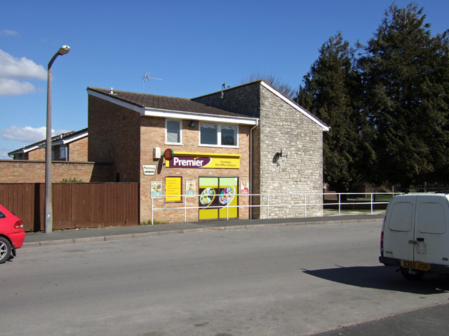
Heron Grove Images

Images are sourced within 2km of 50.706874/-2.3543595 or Grid Reference SY7589. Thanks to Geograph Open Source API. All images are credited.

Ilsington Road towards Tincleton
Minor road towards Ilsington
Barn, Woodsford
Barn, Woodsford
National Cycle Route 2, Woodsford
Drain, Woodsford
Drain, Woodsford
Tracks in crop field, Woodsford
Woodsford Castle See <a title="https://www.geograph.org.uk/photo/40292" href="https://www.geograph.org.uk/photo/40292">Link</a>
Woodsford Castle
See Link
K6 telephone box, Woodsford
Track to Woodsford Castle
National Cycle Route 2, West Woodsford
National Cycle Route 2 towards Dorchester
Woodland beside National Cycle Route 2
National Cycle Route 2 towards Dorchester
Elizabeth II postbox, Woodsford Postbox No. DT2 24.
Elizabeth II postbox, Woodsford
Postbox No. DT2 24.
Defending Dorset in 1940: the Maiden Newton - Poole Harbour Stop Line (55) -
Pillbox type FW3/26 (variant): DoB ID: S0000094

Woodsford Castle - Square Pillbox, Type 26 Variant.  This is an unusual 11 ft square pillbox partly disguised by being built into the garden wall of Woodsford Castle. It has 20 in. brick walls with three embrasures, the main embrasure facing south (towards RAF Warmwell), the other two are on the east, and west sides respectively. The entrance on the north side to the rear, is accessed from inside the walled garden via two descending steps. The aperture of the front embrasure both on the inside and outside is 24 ins. wide, narrowing to 13 in. inside at the 'throat'. The other two embrasures positioned towards the front corners of the side walls are much smaller. Both the roof and floor are of concrete, the former being shuttered, the latter smooth. Overall it can be seen that the pillbox is in very poor condition, with the outer part of the west wall having fallen away exposing the interior on that side.

<a href="https://www.geograph.org.uk/photo/4842362">SY7590 : Defending Dorset in 1940: the Maiden Newton - Poole Harbour Stop Line (56)</a>
Defending Dorset in 1940: the Maiden Newton - Poole Harbour Stop Line (55)
- Pillbox type FW3/26 (variant): DoB ID: S0000094 Woodsford Castle - Square Pillbox, Type 26 Variant. This is an unusual 11 ft square pillbox partly disguised by being built into the garden wall of Woodsford Castle. It has 20 in. brick walls with three embrasures, the main embrasure facing south (towards RAF Warmwell), the other two are on the east, and west sides respectively. The entrance on the north side to the rear, is accessed from inside the walled garden via two descending steps. The aperture of the front embrasure both on the inside and outside is 24 ins. wide, narrowing to 13 in. inside at the 'throat'. The other two embrasures positioned towards the front corners of the side walls are much smaller. Both the roof and floor are of concrete, the former being shuttered, the latter smooth. Overall it can be seen that the pillbox is in very poor condition, with the outer part of the west wall having fallen away exposing the interior on that side. SY7590 : Defending Dorset in 1940: the Maiden Newton - Poole Harbour Stop Line (56)
Defending Dorset in 1940: the Maiden Newton - Poole Harbour Stop Line (56) -
Pillbox type FW3/26 (variant): DoB ID: S0000094

Woodsford Castle - Square Pillbox, Type 26 Variant.  An interesting juxtaposition of two very different fortifications, one from the mid-C20, the other from the C14.

<a href="https://www.geograph.org.uk/photo/4842364">SY7590 : Defending Dorset in 1940: the Maiden Newton - Poole Harbour Stop Line (57)</a>
Defending Dorset in 1940: the Maiden Newton - Poole Harbour Stop Line (56)
- Pillbox type FW3/26 (variant): DoB ID: S0000094 Woodsford Castle - Square Pillbox, Type 26 Variant. An interesting juxtaposition of two very different fortifications, one from the mid-C20, the other from the C14. SY7590 : Defending Dorset in 1940: the Maiden Newton - Poole Harbour Stop Line (57)
Defending Dorset in 1940: the Maiden Newton - Poole Harbour Stop Line (57) -
Pillbox type FW3/26 (variant): DoB ID: S0000094

Woodsford Castle - Square Pillbox, Type 26 Variant.  The first of two interior views, this one taken from the entrance doorway looking towards the main embrasure at the front, and showing the positioning of the other two embrasures towards the front corners of the side walls.

<a href="https://www.geograph.org.uk/photo/4842367">SY7590 : Defending Dorset in 1940: the Maiden Newton - Poole Harbour Stop Line (58)</a>
Defending Dorset in 1940: the Maiden Newton - Poole Harbour Stop Line (57)
- Pillbox type FW3/26 (variant): DoB ID: S0000094 Woodsford Castle - Square Pillbox, Type 26 Variant. The first of two interior views, this one taken from the entrance doorway looking towards the main embrasure at the front, and showing the positioning of the other two embrasures towards the front corners of the side walls. SY7590 : Defending Dorset in 1940: the Maiden Newton - Poole Harbour Stop Line (58)
Defending Dorset in 1940: the Maiden Newton - Poole Harbour Stop Line (58) -
Pillbox type FW3/26 (variant): DoB ID: S0000094

Woodsford Castle -Square Pillbox, Type 26 Variant.  The second interior view taken from the front embrasure looking inside towards the entrance doorway. Note the clay pipe smoke vent at ceiling level on the right.

<a href="https://www.geograph.org.uk/photo/4842373">SY7691 : Defending Dorset in 1940: the Maiden Newton - Poole Harbour Stop Line (59)</a>
Defending Dorset in 1940: the Maiden Newton - Poole Harbour Stop Line (58)
- Pillbox type FW3/26 (variant): DoB ID: S0000094 Woodsford Castle -Square Pillbox, Type 26 Variant. The second interior view taken from the front embrasure looking inside towards the entrance doorway. Note the clay pipe smoke vent at ceiling level on the right. SY7691 : Defending Dorset in 1940: the Maiden Newton - Poole Harbour Stop Line (59)
Show me another place!

Heron Grove is located at Grid Ref: SY7589 (Lat: 50.706874, Lng: -2.3543595)

Unitary Authority: Dorset

Police Authority: Dorset

What 3 Words

///skillet.simple.bids. Near Puddletown, Dorset

Nearby Locations

Heron Grove

Related Wikis

RAF Warmwell

Royal Air Force Warmwell or more simply RAF Warmwell is a former Royal Air Force station near Warmwell in Dorset, England from 1937 to 1946, located about...

Woodsford

Woodsford is a village and civil parish beside the River Frome, Dorset, England, about 4 miles (6.4 km) east of the county town Dorchester. Dorset County...

Warmwell

Warmwell is a small village and civil parish in south west Dorset, England, situated on the B3390 road about 5 miles (8.0 km) southeast of Dorchester....

Crossways, Dorset

Crossways is a village and civil parish in the English county of Dorset. It lies 6 miles (9.7 km) east of the county town Dorchester. In the 2011 census...

West Stafford

West Stafford is a village and civil parish in southwest Dorset, England, situated in the Frome valley 2 miles (3.2 km) east of Dorchester. In the 2011...

Frome Billet

Frome Billet is a former village in Dorset, just to the north of West Stafford.It is mentioned in the Domesday Book. There is slight archaeological evidence...

West Knighton, Dorset

West Knighton is a village and civil parish in Dorset, England, situated 3 miles (4.8 km) southeast of the county town Dorchester. It has an 11th-century...

Moreton railway station (Dorset)

Moreton railway station serves the villages of Moreton and Crossways in Dorset, England. It is operated by South Western Railway and is served by their...

Nearby Amenities

Located within 500m of 50.706874,-2.3543595
Material: wood
Power: pole
Source: bing
Lat/Long: 50.7069843/-2.360639
Material: wood
Power: pole
Source: bing
Lat/Long: 50.7075065/-2.3595889
Material: wood
Power: pole
Source: bing
Lat/Long: 50.7080164/-2.3585543
Material: wood
Power: pole
Source: bing
Transformer: distribution
Lat/Long: 50.7085238/-2.3574885
The data included in this document is from www.openstreetmap.org. The data is made available under ODbL.

Have you been to Heron Grove?

Leave your review of Heron Grove below (or comments, questions and feedback).