Old Storridge Common
Wood, Forest in Worcestershire Malvern Hills
England
Old Storridge Common
Old Storridge Common is a picturesque woodland area located in Worcestershire, England. Nestled in the heart of the county, this ancient common boasts a rich history and offers a tranquil escape for nature enthusiasts.
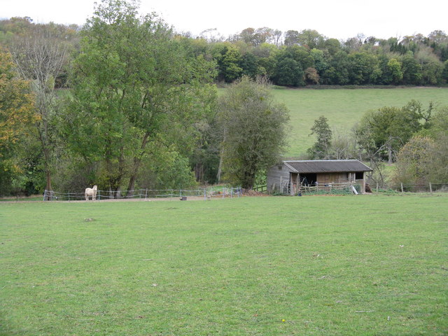
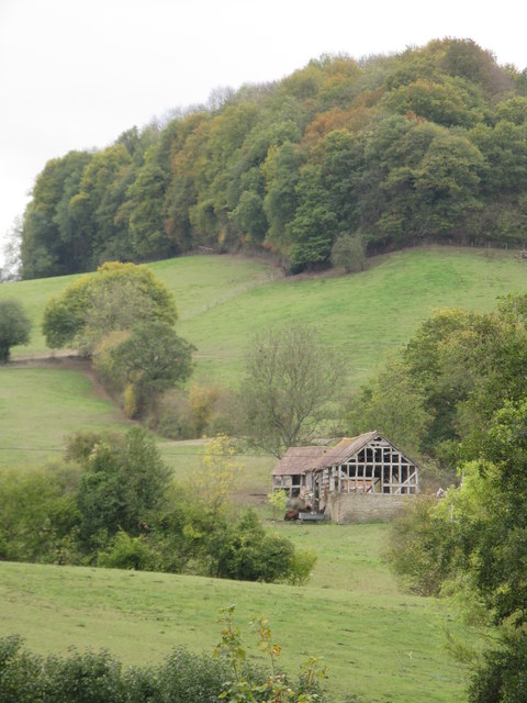
Covering an expansive area of approximately 100 acres, Old Storridge Common is characterized by its dense and diverse forest, composed mainly of deciduous trees such as oak, beech, and ash. The canopy of the wood provides a cool shade during the summer months and a vibrant display of colors in the autumn. The forest floor is carpeted with a variety of wildflowers, making it a haven for wildlife and a delight for botany enthusiasts.
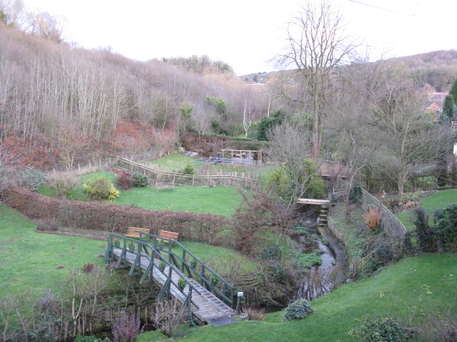
The common is intersected by a network of footpaths and trails, allowing visitors to explore its hidden treasures. One of the notable features of Old Storridge Common is the presence of a small stream that winds its way through the woodland, adding to the area's natural beauty and attracting an array of wildlife, including birds, butterflies, and small mammals.
The common is managed by the Worcestershire Wildlife Trust, which ensures the preservation of its unique ecosystem. It is also a designated Site of Special Scientific Interest, highlighting its importance for conservation and biodiversity.
Old Storridge Common is a popular destination for locals and tourists alike, offering opportunities for walking, birdwatching, and photography. Its peaceful and serene atmosphere provides an ideal escape from the hustle and bustle of everyday life, making it a cherished natural gem in Worcestershire.
If you have any feedback on the listing, please let us know in the comments section below.
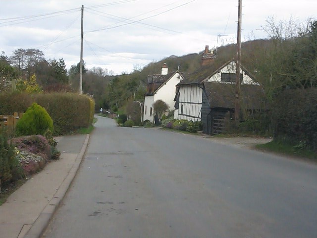
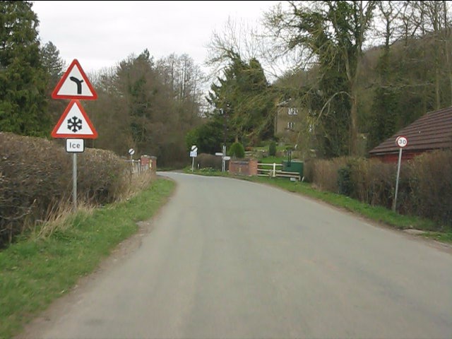
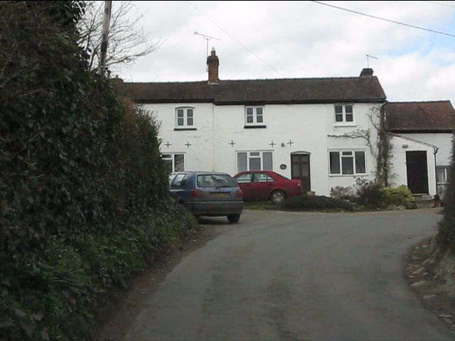
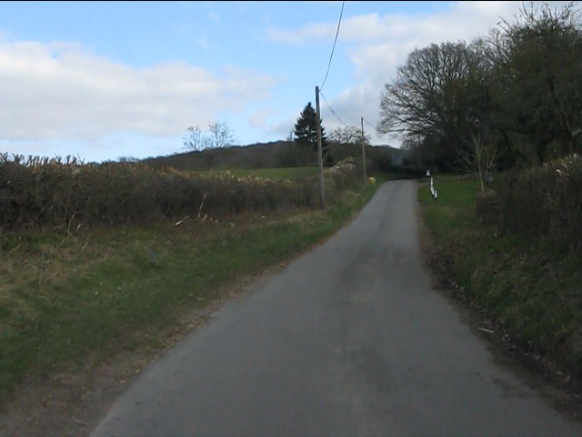
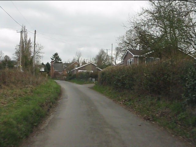
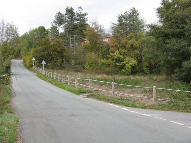
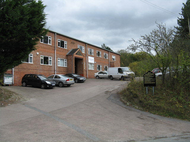
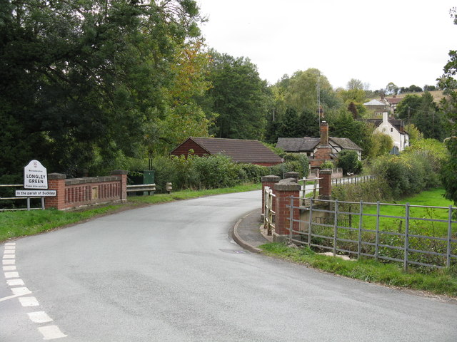
Old Storridge Common Images
Images are sourced within 2km of 52.15645/-2.3679848 or Grid Reference SO7450. Thanks to Geograph Open Source API. All images are credited.


Old Storridge Common is located at Grid Ref: SO7450 (Lat: 52.15645, Lng: -2.3679848)
Administrative County: Worcestershire
District: Malvern Hills
Police Authority: West Mercia
What 3 Words
///ranches.gobbling.charging. Near Great Malvern, Worcestershire
Nearby Locations
Related Wikis
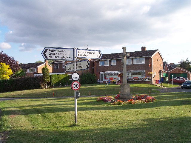
Alfrick Pound
Alfrick Pound is a small village in the county of Worcestershire, England, in the United Kingdom. == Location == Alfrick Pound village is located on the...

Crowcroft
Crowcroft is a small hamlet just outside Leigh Sinton in Worcestershire, England. The main industry for the area is fruit growing, particularly for local...
Alfrick
Alfrick is a village and civil parish in the Malvern Hills district of Worcestershire, England, about seven miles west of Worcester. == Amenities == The...
Suckley
Suckley is a village and civil parish in the Malvern Hills District in the county of Worcestershire, England, close to the border with Herefordshire....

Leigh Sinton
Leigh Sinton is a village in the Malvern Hills district of the county of Worcestershire, England, and one of the constituent places of the civil parish...

Malvern Hills District
Malvern Hills is a local government district in Worcestershire, England. Its council is based in the town of Malvern, and its area covers most of the western...
Radar Research and Development Establishment
The Radar Research and Development Establishment, RRDE for short, was a civilian research organization run by the United Kingdom's Ministry of Supply that...

Bransford
Bransford is a village and civil parish in the Malvern Hills district of the county of Worcestershire, England. It is situated close to the River Teme...
Nearby Amenities
Located within 500m of 52.15645,-2.3679848Have you been to Old Storridge Common?
Leave your review of Old Storridge Common below (or comments, questions and feedback).