Prior's Down

Wood, Forest in Dorset

England

Prior's Down

House at Rhodes House Farm This farmhouse appears to be an older stone building with a  large modern  extension added to the rear which may be a separate house. The farm is a large working dairy farm run by R G Barnes and Sons.
House at Rhodes House Farm Credit: Nigel Mykura

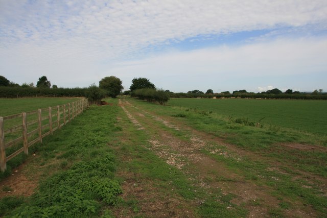
Prior's Down is a picturesque woodland located in Dorset, England. This enchanting forest covers an area of approximately 100 acres and is nestled within the rolling hills of the Dorset countryside. The woodland is known for its diverse range of tree species, including oak, beech, ash, and birch, which create a stunning canopy and provide a habitat for a multitude of wildlife.

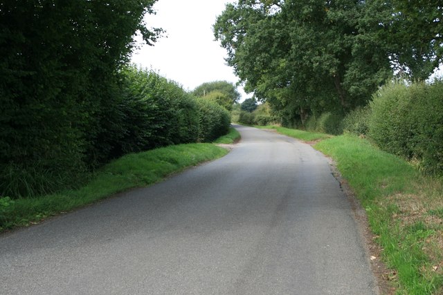
The forest is a popular destination for nature enthusiasts and hikers, offering a network of well-maintained trails that wind through the woods. These paths allow visitors to explore the serene beauty of the woodland, meandering through sun-dappled glades and alongside babbling brooks. The tranquility of the forest provides a perfect escape from the hustle and bustle of everyday life.

Prior's Down is also rich in history, with remnants of ancient settlements and archaeological sites scattered throughout the woodland. These remnants offer a glimpse into the area's past, providing insight into the lives of those who once inhabited the land.

In addition to its natural and historical significance, Prior's Down is a vital habitat for various wildlife species. The forest is home to a diverse range of animals, including deer, foxes, rabbits, and numerous bird species. Birdwatchers can often spot woodpeckers, owls, and various songbirds flitting among the trees.

Overall, Prior's Down in Dorset is a haven of natural beauty and historical intrigue. Whether you seek a peaceful stroll, a glimpse into the past, or a chance to observe wildlife in their natural habitat, this enchanting woodland offers it all.

If you have any feedback on the listing, please let us know in the comments section below.

Prior's Down Images

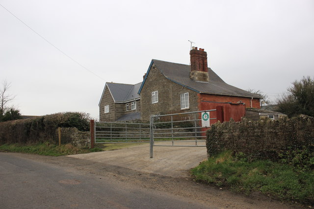
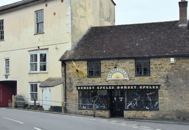
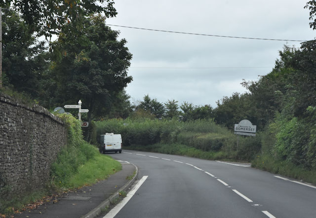
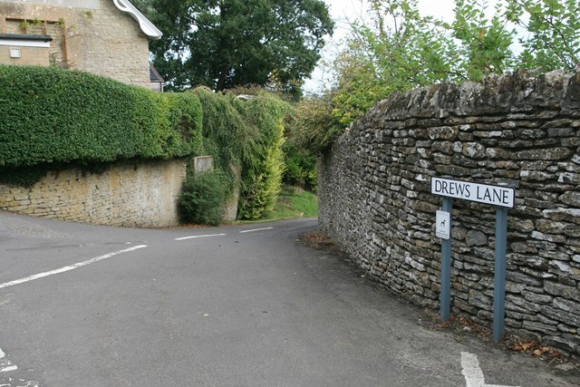
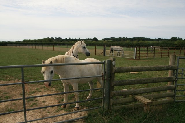
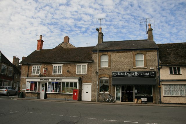
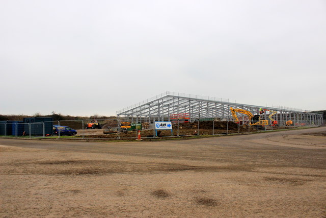
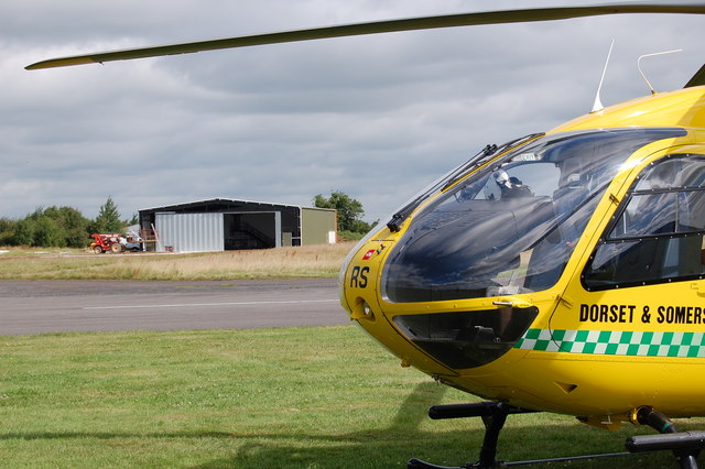
Images are sourced within 2km of 50.967766/-2.3600592 or Grid Reference ST7418. Thanks to Geograph Open Source API. All images are credited.

House at Rhodes House Farm This farmhouse appears to be an older stone building with a  large modern  extension added to the rear which may be a separate house. The farm is a large working dairy farm run by R G Barnes and Sons.
House at Rhodes House Farm
This farmhouse appears to be an older stone building with a large modern extension added to the rear which may be a separate house. The farm is a large working dairy farm run by R G Barnes and Sons.
Dykes shop and car park in Stalbridge
Dorset Cycle shop on corner of Duck Lane
A357 entering Somerset
Disused railway, Stalbridge
Drews Lane, Stalbridge
Ponies at Wardsham Farm
Landshire Lane This road forms part of the northern boundary between Dorset and Somerset.
Landshire Lane
This road forms part of the northern boundary between Dorset and Somerset.
Post Office and Butchers, Stalbridge
Old Direction Sign - Signpost by the A357, Henstridge parish Pyramid finial - 4 arms; Somerset SCC pyramid by the A357, in parish of Henstridge (South Somerset District), near Newhouse Farm, junction with Landshire Lane at county boundary, on verge.

Surveyed

Milestone Society National ID: SO_ST7219
Old Direction Sign - Signpost by the A357, Henstridge parish
Pyramid finial - 4 arms; Somerset SCC pyramid by the A357, in parish of Henstridge (South Somerset District), near Newhouse Farm, junction with Landshire Lane at county boundary, on verge. Surveyed Milestone Society National ID: SO_ST7219
New Industrial Building Hestridge Airfield This large steel framed industrial building is being erected on the site of what used to be the old Henstridge Airfield.
New Industrial Building Hestridge Airfield
This large steel framed industrial building is being erected on the site of what used to be the old Henstridge Airfield.
Shaking up milk sales A stand-alone milk station in Stalbridge, close to the car park on Station Road. It is a self-service unit offering fresh cooled milk, dairy products and milkshakes. The latter has the small side shelf with a corrugated canopy over it, with several pump dispensers containing various flavoured syrups.
Shaking up milk sales
A stand-alone milk station in Stalbridge, close to the car park on Station Road. It is a self-service unit offering fresh cooled milk, dairy products and milkshakes. The latter has the small side shelf with a corrugated canopy over it, with several pump dispensers containing various flavoured syrups.
Stalbridge library and The Hub A modern building by the car park that offers a community room for hire next to the library. An obligatory defribrillator in a round case resides by the door.
Stalbridge library and The Hub
A modern building by the car park that offers a community room for hire next to the library. An obligatory defribrillator in a round case resides by the door.
The Gugg Formerly Guggleton Farm, the site now also offers residence for several small businesses, workshops and an arts hub.
The Gugg
Formerly Guggleton Farm, the site now also offers residence for several small businesses, workshops and an arts hub.
The path out of the village Follow this footpath and you can get to the school or carry on towards Drew's Lane or Shipney Lane.
The path out of the village
Follow this footpath and you can get to the school or carry on towards Drew's Lane or Shipney Lane.
High door A wooden farm door, set into the wall several feet off the ground below.
High door
A wooden farm door, set into the wall several feet off the ground below.
A little thirsty The bucket contains a few rather dry specimens, which infers that the pump is no longer in use. The pump is a Joseph Evans product, numbered 46671.
A little thirsty
The bucket contains a few rather dry specimens, which infers that the pump is no longer in use. The pump is a Joseph Evans product, numbered 46671.
Down Church Hill The bunting is still out, presumably from the coronation of King Charles III. The classic telephone box is otherwise empty.
Down Church Hill
The bunting is still out, presumably from the coronation of King Charles III. The classic telephone box is otherwise empty.
Show me another place!

Prior's Down is located at Grid Ref: ST7418 (Lat: 50.967766, Lng: -2.3600592)

Unitary Authority: Dorset

Police Authority: Dorset

What 3 Words

///overpaid.pave.recliner. Near Stalbridge, Dorset

Nearby Locations

Prior's Down

Related Wikis

Stalbridge railway station

Stalbridge railway station was a station in Stalbridge in the county of Dorset, England. It was located on the Somerset and Dorset Joint Railway. Sited...

Stalbridge

Stalbridge () is a town and civil parish in Dorset, England, situated in the Blackmore Vale, near the border with Somerset. In the 2011 census the civil...

Brownshall Hundred

Brownshall Hundred was a hundred in the county of Dorset, England, containing the following parishes: Holwell (transferred from Somerset 1844) Lydlinch...

RNAS Henstridge (HMS Dipper)

Royal Naval Air Station Henstridge (RNAS Henstridge; or HMS Dipper) is a former Royal Navy Fleet Air Arm airbase, located 7 miles (11 km) west of Shaftesbury...

Nearby Amenities

Located within 500m of 50.967766,-2.3600592
Barrier: stile
Lat/Long: 50.966235/-2.3625435
The data included in this document is from www.openstreetmap.org. The data is made available under ODbL.

Have you been to Prior's Down?

Leave your review of Prior's Down below (or comments, questions and feedback).