Victoria Wood

Wood, Forest in Cheshire

England

Victoria Wood

The Smithy at Smithy Green
The Smithy at Smithy Green Credit: John Naisbitt

The requested URL returned error: 429 Too Many Requests

If you have any feedback on the listing, please let us know in the comments section below.

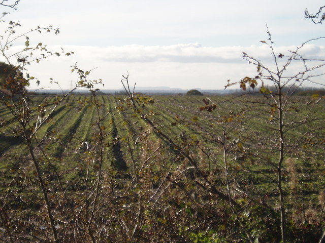
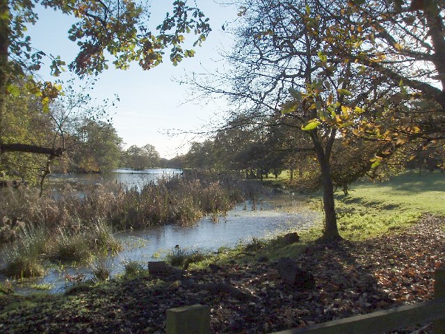
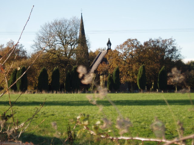
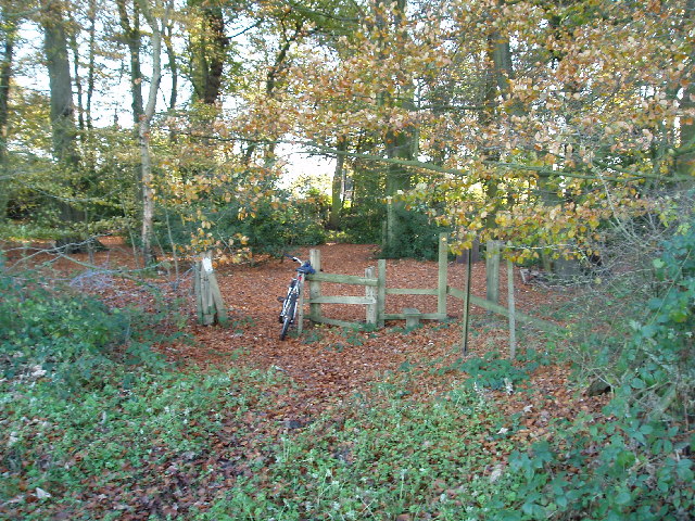
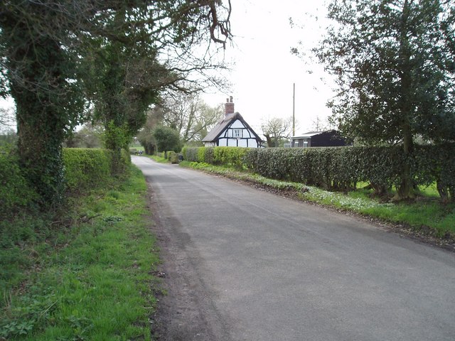
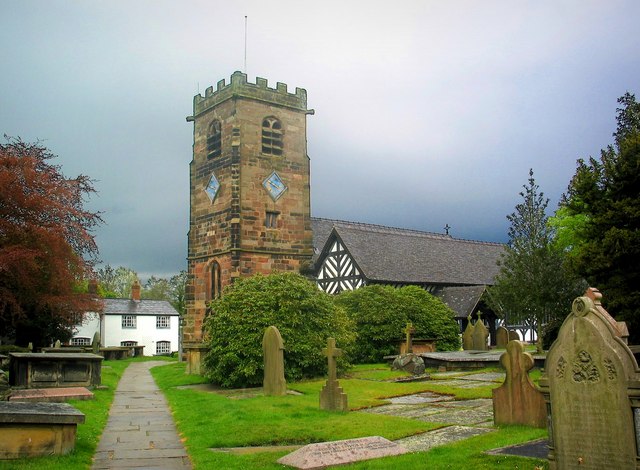
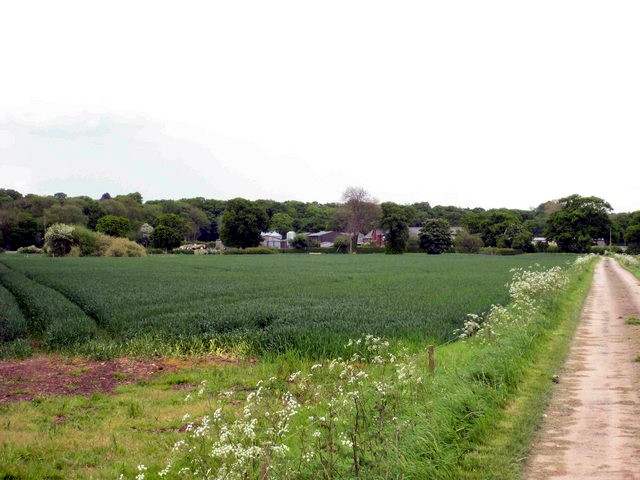
Victoria Wood Images

Images are sourced within 2km of 53.276275/-2.3814816 or Grid Reference SJ7475. Thanks to Geograph Open Source API. All images are credited.

The Smithy at Smithy Green
View across farmland Taken close to Blackhill Lane railway bridge, looking SW, hills on the horizon are the Peckforton Hills and the "mound" to the right Beeston Castle.
View across farmland
Taken close to Blackhill Lane railway bridge, looking SW, hills on the horizon are the Peckforton Hills and the "mound" to the right Beeston Castle.
Toft Hall Mere looking south Taken from the drive to Toft Hall (just off Holmes Chapel Road, A50).
Toft Hall Mere looking south
Taken from the drive to Toft Hall (just off Holmes Chapel Road, A50).
Church of St John the Evangelist Founded in 1855 as the parish church for Toft and parts of Bexton and Knutsford Inferior
Church of St John the Evangelist
Founded in 1855 as the parish church for Toft and parts of Bexton and Knutsford Inferior
Moss Wood, Seven Sisters Lane (Looking S) The end of the Goughs lane to Seven Sisters lane footpath is about 50m from this stile.
Moss Wood, Seven Sisters Lane (Looking S)
The end of the Goughs lane to Seven Sisters lane footpath is about 50m from this stile.
Oak Tree Barn & Merry Farm , Plumley Moor Road Between Lower Peover & Plumley. Was known just as Merry Farm until the barn was converted.
Oak Tree Barn & Merry Farm , Plumley Moor Road
Between Lower Peover & Plumley. Was known just as Merry Farm until the barn was converted.
Road Junction Confusing signs! You used to be able to get to Ullardhall Farm via Ullardhall Lane, that is until the M6 was built (back in the early '60s) which split the lane in two. On some maps the lane looks as though it passes under the M6!!
Road Junction
Confusing signs! You used to be able to get to Ullardhall Farm via Ullardhall Lane, that is until the M6 was built (back in the early '60s) which split the lane in two. On some maps the lane looks as though it passes under the M6!!
The Bells of Peover The entrance of the pub leads straight into the church. The pub is named after a family that ran it and has nothing to do with the church bells. Sadly, another pub lost to a national chain but worth a visit.
The Bells of Peover
The entrance of the pub leads straight into the church. The pub is named after a family that ran it and has nothing to do with the church bells. Sadly, another pub lost to a national chain but worth a visit.
Parkside Cottage, Sudlow Lane
Hollyhedge Farm, Middlewich Road, Knutsford
Church at Lower Peover The body of the church with its black and white timbering dates from the 14th century.  The Perpendicular stone tower is a later addition, built in 1582.
Church at Lower Peover
The body of the church with its black and white timbering dates from the 14th century. The Perpendicular stone tower is a later addition, built in 1582.
Bridleway to Freegreen Farm This bridleway passes through a small wood before going through Freegreen Farm.
Bridleway to Freegreen Farm
This bridleway passes through a small wood before going through Freegreen Farm.
The Road to Hucknall Farm Taken on the footpath just off the road. A small pond can be found on the left.
The Road to Hucknall Farm
Taken on the footpath just off the road. A small pond can be found on the left.
Bridleway through Freegreen Farm Taken at the gate into the farmyard, the bridleway runs straight through to the open fields beyond.
Bridleway through Freegreen Farm
Taken at the gate into the farmyard, the bridleway runs straight through to the open fields beyond.
The Road away from Hucknall Farm Facing Smithy Green, the image records the path to the hamlet.
The Road away from Hucknall Farm
Facing Smithy Green, the image records the path to the hamlet.
Towards Wash Farm Taken just beyond Plumley, with the M6 to the right.
Towards Wash Farm
Taken just beyond Plumley, with the M6 to the right.
Looking towards the M6 Taken from the road to Wash Farm. The position of the gate can be ascertained from the first image for this grid square. In the background is the M6 motorway.
Looking towards the M6
Taken from the road to Wash Farm. The position of the gate can be ascertained from the first image for this grid square. In the background is the M6 motorway.
Pasture Land The public footpath runs across open countryside.
Pasture Land
The public footpath runs across open countryside.
Show me another place!

Victoria Wood is located at Grid Ref: SJ7475 (Lat: 53.276275, Lng: -2.3814816)

Unitary Authority: Cheshire East

Police Authority: Cheshire

What 3 Words

///handle.reprints.converter. Near Knutsford, Cheshire

Nearby Locations

Victoria Wood

Related Wikis

Toft Hall

Toft Hall is a 17th-century country house in Toft, Cheshire, England to which additions and alterations have been made during the following three centuries...

Lower Peover

Lower Peover is a village in the civil parish of Nether Peover in the unitary authority of Cheshire West and Chester and the ceremonial county of Cheshire...

Toft, Cheshire

Toft is a village and civil parish in the unitary authority of Cheshire East and the ceremonial county of Cheshire, England. It is located immediately...

Bexton

Bexton is a civil parish to the south west of Knutsford, in the unitary authority of Cheshire East, England. According to the 2001 census it had a population...

Have you been to Victoria Wood?

Leave your review of Victoria Wood below (or comments, questions and feedback).