The Forty Acres

Wood, Forest in Staffordshire Newcastle-under-Lyme

England

The Forty Acres

Ashley village hall
Ashley village hall Credit: Simon Huguet

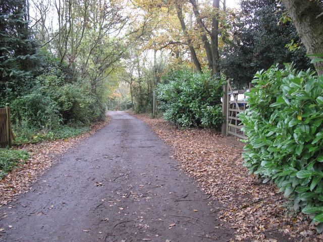
The Forty Acres in Staffordshire is a picturesque woodland area situated in the heart of the county. Spanning approximately 40 acres, it is a well-preserved forest that offers visitors a tranquil and natural environment to explore. The woodland is known for its diverse range of flora and fauna, with a variety of trees including oak, beech, and birch, as well as an assortment of wildflowers that bloom throughout the year.

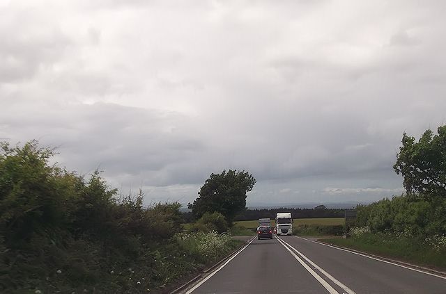
The terrain of The Forty Acres is relatively flat, making it accessible to visitors of all ages and abilities. The forest is crisscrossed by well-maintained walking trails, which allow visitors to fully immerse themselves in the beauty of the surroundings. These trails lead to various points of interest, including a small stream that runs through the woodland, adding to the overall charm of the area.

The Forty Acres is a popular destination for nature enthusiasts, hikers, and picnickers. It offers ample opportunities for outdoor activities such as birdwatching, photography, and wildlife spotting. The forest is home to a diverse range of wildlife, including deer, rabbits, squirrels, and a wide variety of bird species.

To ensure the preservation of the area, The Forty Acres has implemented strict conservation measures. The woodland is protected by local authorities, and visitors are encouraged to adhere to the guidelines to maintain the natural integrity of the forest.

Overall, The Forty Acres in Staffordshire is a beautiful and peaceful woodland that provides a haven for both nature lovers and those seeking a serene escape from the bustling city life.

If you have any feedback on the listing, please let us know in the comments section below.

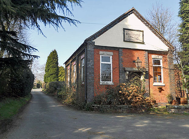
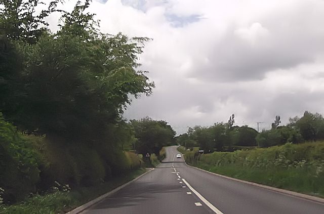
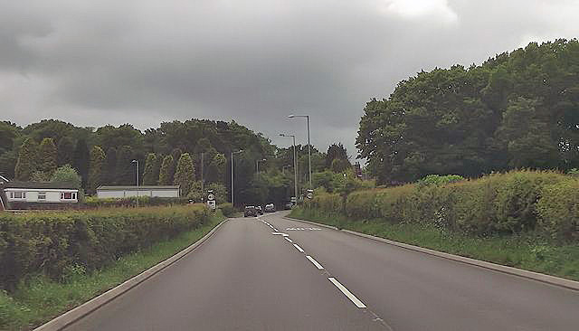
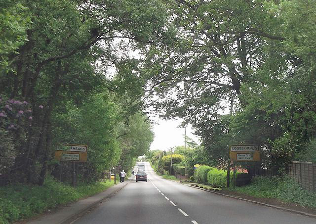
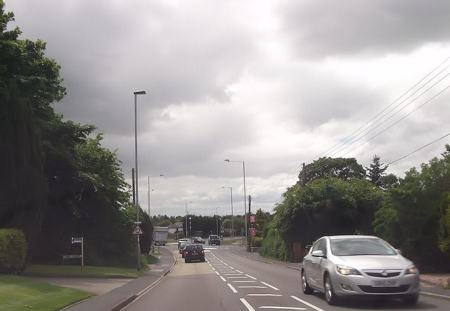
The Forty Acres Images

Images are sourced within 2km of 52.930453/-2.3828058 or Grid Reference SJ7437. Thanks to Geograph Open Source API. All images are credited.

Ashley village hall
Ashley village hall
The Catholic church of Our Lady and St John A side view of the chapel and presbytry
The Catholic church of Our Lady and St John
A side view of the chapel and presbytry
Jug Bank Seen from the fields by Rudge Lane.
Jug Bank
Seen from the fields by Rudge Lane.
Ashley Heath from near Rudge Lane
Hookgate, former Methodist chapel
Ashley Heath Park at end of Tower Road on grey dry morning. Top on road beside house called Whinberry whose owner wondered what I was doing with my camera and GPS.
Name: Ashley Heath
Hill number: 5391
Height: 236m / 774ft
Area: 36: Lancashire, Cheshire & the Southern Pennines
Class: Hu
Grid ref: SJ745357 (est)
Drop: 119m
Col: 117m  SJ792406
Ashley Heath
Park at end of Tower Road on grey dry morning. Top on road beside house called Whinberry whose owner wondered what I was doing with my camera and GPS. Name: Ashley Heath Hill number: 5391 Height: 236m / 774ft Area: 36: Lancashire, Cheshire & the Southern Pennines Class: Hu Grid ref: SJ745357 (est) Drop: 119m Col: 117m SJ792406
Long straight on Newcastle Road near Castle Hill
Bend on A53 approaching Park Lane junction
A53 approaching School Lane junction
A53 approaching Ashley Heath
A53 at Loggerheads
A53 at Loggerheads
Loggerheads roundabout from A53
A53 just west of Rowney Farm Entrance on left is a layby and on the right a farm entrance
A53 just west of Rowney Farm
Entrance on left is a layby and on the right a farm entrance
Loggerheads, The Loggerheads Brewer's Tudor-style pub on A53; of the accessible area, back bar, with drinking area front and right; wooden beams, Artex plasterwork, some exposed stonework; dining at the back. Cask ales on offer at my visit: Greene King Abbot, Wells Bombardier & Good Stuffing.
Loggerheads, The Loggerheads
Brewer's Tudor-style pub on A53; of the accessible area, back bar, with drinking area front and right; wooden beams, Artex plasterwork, some exposed stonework; dining at the back. Cask ales on offer at my visit: Greene King Abbot, Wells Bombardier & Good Stuffing.
Co-Operative store, Loggerheads
Benchmark on St Mary's Church Ordnance Survey cut mark benchmark described on the Bench Mark Database at <span class="nowrap"><a title="http://www.bench-marks.org.uk/bm59201" rel="nofollow ugc noopener" href="http://www.bench-marks.org.uk/bm59201">Link</a><img style="margin-left:2px;" alt="External link" title="External link - shift click to open in new window" src="https://s1.geograph.org.uk/img/external.png" width="10" height="10"/></span>
Benchmark on St Mary's Church
Ordnance Survey cut mark benchmark described on the Bench Mark Database at LinkExternal link
North face of St Mary's Church There is an OS benchmark <a href="https://www.geograph.org.uk/photo/4107720">SJ7237 : Benchmark on St Mary's Church</a> on this face of the church near the doorway
North face of St Mary's Church
There is an OS benchmark SJ7237 : Benchmark on St Mary's Church on this face of the church near the doorway
Ashley Congregational Chapel Built 1841
Ashley Congregational Chapel
Built 1841
Show me another place!

The Forty Acres is located at Grid Ref: SJ7437 (Lat: 52.930453, Lng: -2.3828058)

Administrative County: Staffordshire

District: Newcastle-under-Lyme

Police Authority: Staffordshire

What 3 Words

///station.recording.unstated. Near Standon, Staffordshire

Related Wikis

Loggerheads, Staffordshire

Loggerheads is a village and civil parish in north-west Staffordshire, England, on the A53 between Market Drayton and Newcastle-under-Lyme. == Name... ==

Mucklestone

Mucklestone is a village and former civil parish, now in the parish of Loggerheads, in the Newcastle-under-Lyme district, in the county of Staffordshire...

Ashley, Staffordshire

Ashley is a village and former civil parish, now in the parish of Loggerheads, in the Newcastle-under-Lyme district, in the county of Staffordshire, England...

Bearstone

Bearstone is a hamlet in Shropshire, England. For population details as taken at the 2011 census see Woore (Shropshire).

Knighton, Newcastle-under-Lyme

Knighton is a hamlet in north west Staffordshire, England, located in the Borough of Newcastle-under-Lyme. It is surrounded to the west, north and east...

Battle of Blore Heath

The Battle of Blore Heath was a battle in the English Wars of the Roses that was fought on 23 September 1459, at Blore Heath, Staffordshire. Blore Heath...

Audley's Cross

Audley's Cross is a cross sited in Blore Heath, Staffordshire to mark the spot on which James Touchet, Lord Audley was killed at the battle of Blore Heath...

Blore Heath Rural District

Blore Heath was a rural district in Staffordshire, England from 1894 to 1932. It was created under the Local Government Act 1894 from that part of the...

Nearby Amenities

Located within 500m of 52.930453,-2.3828058
Power: pole
Lat/Long: 52.9283116/-2.377771
Power: pole
Lat/Long: 52.9287507/-2.3788941
Power: pole
Lat/Long: 52.9285818/-2.3799005
Power: pole
Lat/Long: 52.928427/-2.3809045
Power: pole
Lat/Long: 52.9279921/-2.3821094
Power: pole
Lat/Long: 52.9275402/-2.383389
Power: pole
Lat/Long: 52.9269251/-2.3842062
Power: pole
Lat/Long: 52.9265422/-2.3850725
Barrier: stile
Lat/Long: 52.9307204/-2.3775356
The data included in this document is from www.openstreetmap.org. The data is made available under ODbL.

Have you been to The Forty Acres?

Leave your review of The Forty Acres below (or comments, questions and feedback).