Carswalls Wood

Wood, Forest in Gloucestershire Forest of Dean

England

Carswalls Wood

Polytunnels by Hopyard Lane There is a lot of soft fruit grown in the Newent area.
Polytunnels by Hopyard Lane Credit: Jonathan Billinger

Carswalls Wood is a picturesque woodland located in Gloucestershire, England. Covering an area of approximately 50 acres, it is nestled within the Forest of Dean, a renowned ancient forest. The wood is situated near the village of Parkend and is easily accessible from the nearby towns of Lydney and Coleford.

This enchanting woodland boasts a diverse range of tree species, including oak, beech, and birch, creating a rich and vibrant ecosystem. The forest floor is carpeted with an array of native flora, such as bluebells and wood anemones, providing a breathtaking display of colors in the springtime.

Carswalls Wood is a haven for wildlife enthusiasts, as it is home to a variety of animal species. Visitors may catch a glimpse of roe deer, badgers, foxes, and a multitude of bird species, including woodpeckers and tawny owls. The wood's tranquil atmosphere and abundance of natural beauty make it an ideal spot for birdwatching and wildlife photography.

For those seeking outdoor recreational activities, Carswalls Wood offers a network of well-maintained footpaths and trails. Visitors can enjoy leisurely walks or more challenging hikes, taking in the stunning surroundings and enjoying the fresh air. The wood is also a popular destination for dog walkers, providing a peaceful and safe environment for pets to explore.

Carswalls Wood is a true gem of Gloucestershire, offering visitors a serene escape into nature. Whether you are a nature lover, a keen walker, or simply looking for a peaceful retreat, this woodland promises an unforgettable experience.

If you have any feedback on the listing, please let us know in the comments section below.

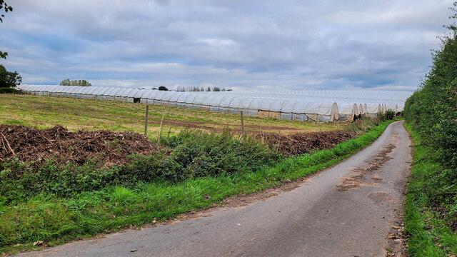
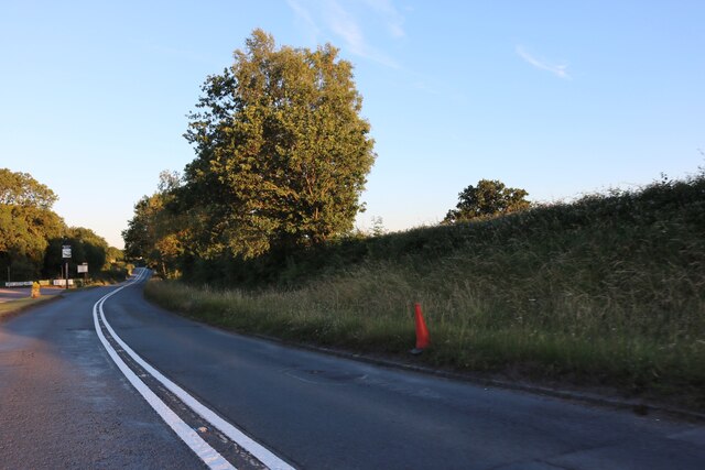
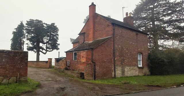
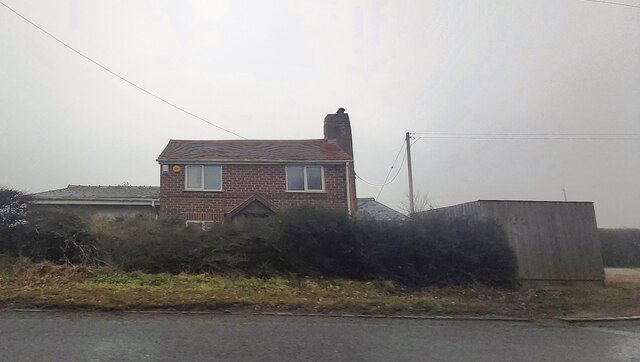
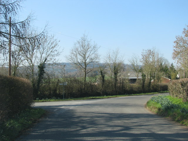
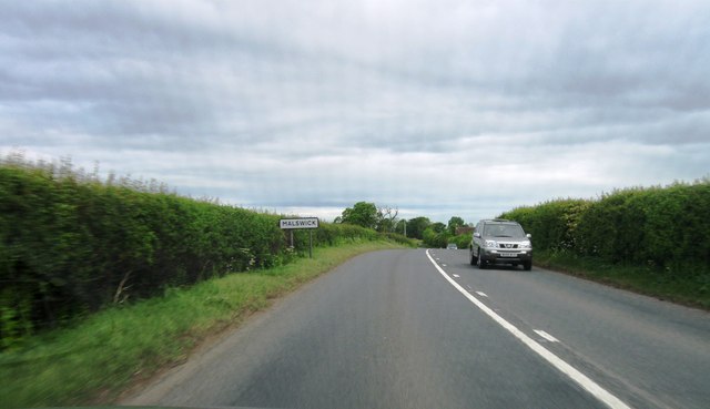
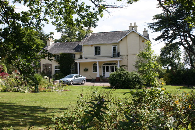
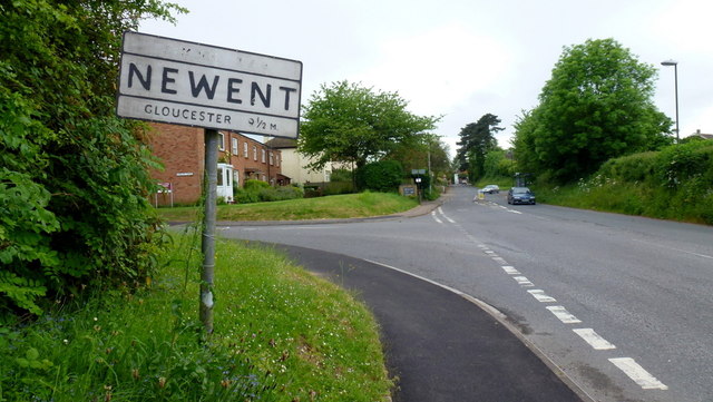
Carswalls Wood Images

Images are sourced within 2km of 51.939908/-2.3745153 or Grid Reference SO7426. Thanks to Geograph Open Source API. All images are credited.

Polytunnels by Hopyard Lane There is a lot of soft fruit grown in the Newent area.
Polytunnels by Hopyard Lane
There is a lot of soft fruit grown in the Newent area.
The B4215, Malswick
The B4215, Malswick
Aylescroft Farm House
House near Malswick
House near Malswick
Turning into Moat Lane
Malswick entrance sign
Upleadon Village, Detached dwelling Detached dwelling on the outskirts of Upleadon village, Gloucestershire.
Upleadon Village, Detached dwelling
Detached dwelling on the outskirts of Upleadon village, Gloucestershire.
Upleadon Crossroads Upleadon Crossroads, Gloucestershire. Note the Public telephone box. Most of these are disappearing due to the dominance of mobile phones.
Upleadon Crossroads
Upleadon Crossroads, Gloucestershire. Note the Public telephone box. Most of these are disappearing due to the dominance of mobile phones.
Collinpark Wood 1 Straight path through the wood looking north-east.
Collinpark Wood 1
Straight path through the wood looking north-east.
Collinpark Wood 2 The opposite view to <a href="https://www.geograph.org.uk/photo/2549365">SO7527 : Collinpark Wood 1</a>.
Collinpark Wood 2
The opposite view to SO7527 : Collinpark Wood 1.
Wheat field in the Vale of Leadon The footpath follows the field edge to the right.
In the distance is Chase End Hill - the southerly outpost of the Malvern Hills.
Wheat field in the Vale of Leadon
The footpath follows the field edge to the right. In the distance is Chase End Hill - the southerly outpost of the Malvern Hills.
Fallen oak By the path to Upleadon from Witherdine.
Fallen oak
By the path to Upleadon from Witherdine.
View from Eden's Hill Looking south-west towards the ubiguitous view of May Hill.
View from Eden's Hill
Looking south-west towards the ubiguitous view of May Hill.
Bridleway by The Woodings Eden's Hill forms the backdrop to the scene.
Bridleway by The Woodings
Eden's Hill forms the backdrop to the scene.
Early shift Wintry sunrise over Newent Business Park.
Early shift
Wintry sunrise over Newent Business Park.
Old Newent town sign The pre-Worboys sign on Gloucester Road is showing its age as the Dymock 3&3/4 miles is almost invisible.  There are two more town signs within a few metres of this one - the slate millennium version can be seen up ahead.
Old Newent town sign
The pre-Worboys sign on Gloucester Road is showing its age as the Dymock 3&3/4 miles is almost invisible. There are two more town signs within a few metres of this one - the slate millennium version can be seen up ahead.
Slightly elevated pavement, Gloucester Street, Newent There are buildings on only one side of the street here.
Slightly elevated pavement, Gloucester Street, Newent
There are buildings on only one side of the street here.
Welcome to Newent The slate sign on the left is located alongside Gloucester Street near the eastern boundary of Newent, between the corner of Onslow Road and a bus stop. An older boundary sign <a title="https://www.geograph.org.uk/photo/2979599" href="https://www.geograph.org.uk/photo/2979599">Link</a> is a fewer metres behind the camera.
Welcome to Newent
The slate sign on the left is located alongside Gloucester Street near the eastern boundary of Newent, between the corner of Onslow Road and a bus stop. An older boundary sign Link is a fewer metres behind the camera.
Show me another place!

Carswalls Wood is located at Grid Ref: SO7426 (Lat: 51.939908, Lng: -2.3745153)

Administrative County: Gloucestershire

District: Forest of Dean

Police Authority: Gloucestershire

What 3 Words

///minerals.snowballs.decent. Near Newent, Gloucestershire

Nearby Locations

Carswalls Wood

Related Wikis

Brand Green

Brand Green is a village in Gloucestershire, England. == References == == External links == Media related to Brand Green at Wikimedia Commons

Upleadon

Upleadon is a village and civil parish situated 10.5 km north-west of Gloucester. Soon after the Norman conquest Upleadon became part of the estates of...

Collinpark Wood SSSI

Collinpark Wood (grid reference SO750278) is a 66.69-hectare (164.8-acre) biological Site of Special Scientific Interest in Gloucestershire, notified in...

Malswick Halt railway station

Malswick Halt was a request stop on the former Ledbury and Gloucester Railway. It opened on 1st February 1938 and was closed in 1959 when the line was...

Newent Town F.C.

Newent Town Association Football Club is a football club based in Newent, Gloucestershire, England. They were established in 1920. Affiliated to the Gloucestershire...

Newent

Newent (; originally called "Noent") is a market town and civil parish in the Forest of Dean in Gloucestershire, England. The town is 11 miles (18 km)...

Newent railway station

Newent railway station served the town of Newent in Gloucestershire, England. It opened on 27 July 1885 when the Newent Railway and the Ross and Ledbury...

Okle Green

Okle Green is a village in Gloucestershire, England.

Nearby Amenities

Located within 500m of 51.939908,-2.3745153
Carswalls Manor
Historic: manor
Source: OS OpenData StreetView
Lat/Long: 51.9414363/-2.3764569
Kennels
Bullar Trees Kennels & Cattery
Source: OS OpenData StreetView
Source Name: local knowledge
Lat/Long: 51.9424548/-2.3693651
Power: pole
Lat/Long: 51.9355222/-2.3735271
Carswalls Manor
Power: pole
Transformer: distribution
Voltage Primary: 11000
Lat/Long: 51.9411858/-2.37818
Power: pole
Lat/Long: 51.9405012/-2.3779302
Power: pole
Lat/Long: 51.9388758/-2.3807911
Power: pole
Lat/Long: 51.9392127/-2.3798697
Power: pole
Lat/Long: 51.9393846/-2.3794091
Power: pole
Lat/Long: 51.939495/-2.3785293
Power: pole
Lat/Long: 51.9396178/-2.3776355
Power: pole
Lat/Long: 51.9380332/-2.3765291
Power: pole
Lat/Long: 51.9387406/-2.3773679
Power: pole
Lat/Long: 51.9372589/-2.3756057
Power: pole
Lat/Long: 51.9366835/-2.374911
Carswalls South
Power: pole
Transformer: distribution
Voltage Primary: 11000
Lat/Long: 51.9355796/-2.3749512
Power: pole
Lat/Long: 51.9361088/-2.374215
Buller Trees
Power: pole
Transformer: distribution
Voltage Primary: 11000
Lat/Long: 51.9425296/-2.3691309
The data included in this document is from www.openstreetmap.org. The data is made available under ODbL.

Have you been to Carswalls Wood?

Leave your review of Carswalls Wood below (or comments, questions and feedback).