Cowlinge

Settlement in Suffolk West Suffolk

England

Cowlinge

A Suffolk crossroads This is where a narrow lane from Hobbles Green to Kirtling (ahead) crosses the road from Great Bradley to Cowlinge (right). Late summer or early autumn? The trees hint at both.
A Suffolk crossroads Credit: John Sutton

Cowlinge is a small village located in the county of Suffolk, England. Situated approximately 12 miles southeast of Newmarket, it falls within the administrative district of West Suffolk. With a population of around 200 residents, the village is known for its tranquil and rural atmosphere.

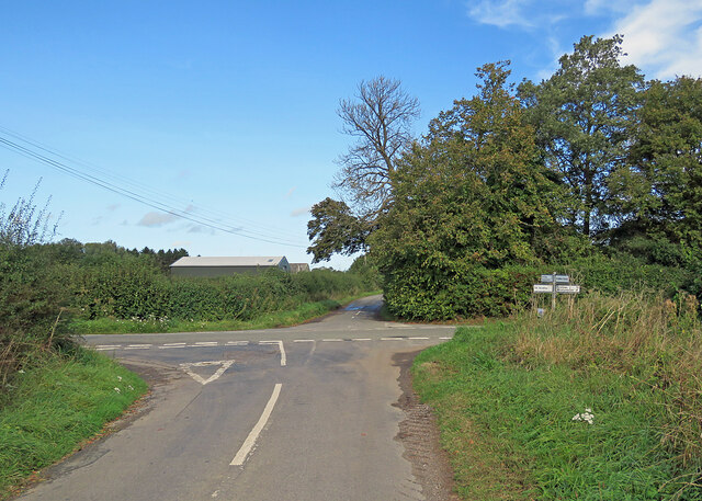
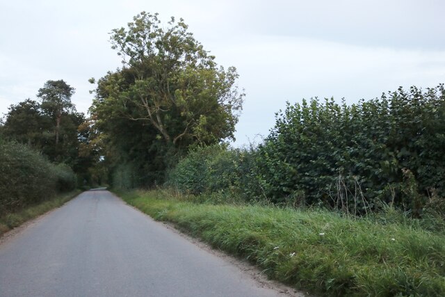
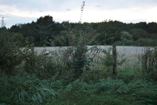
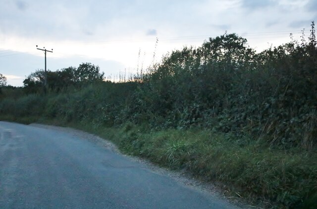
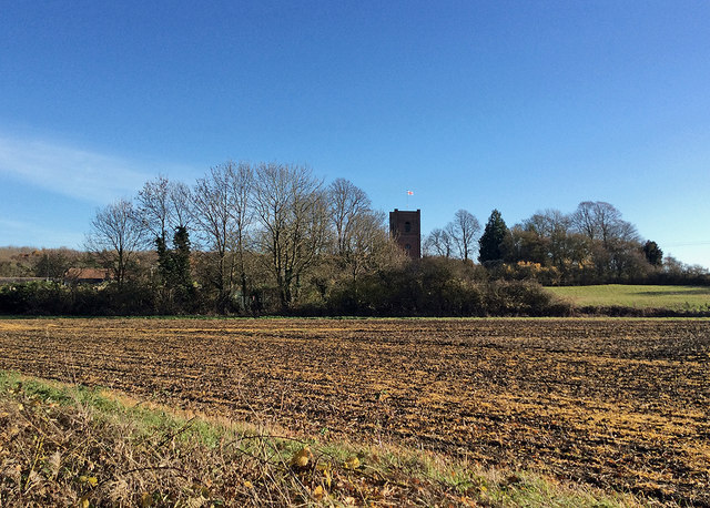
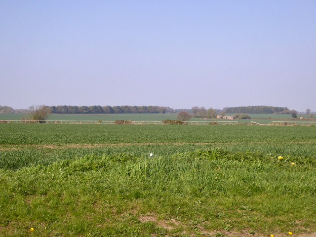
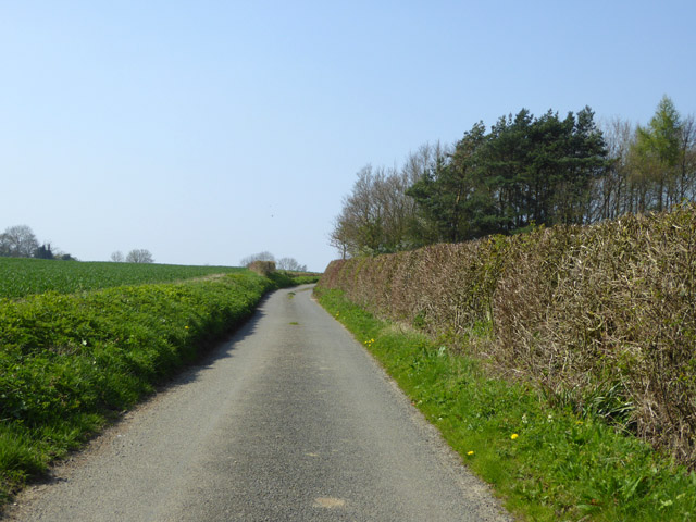
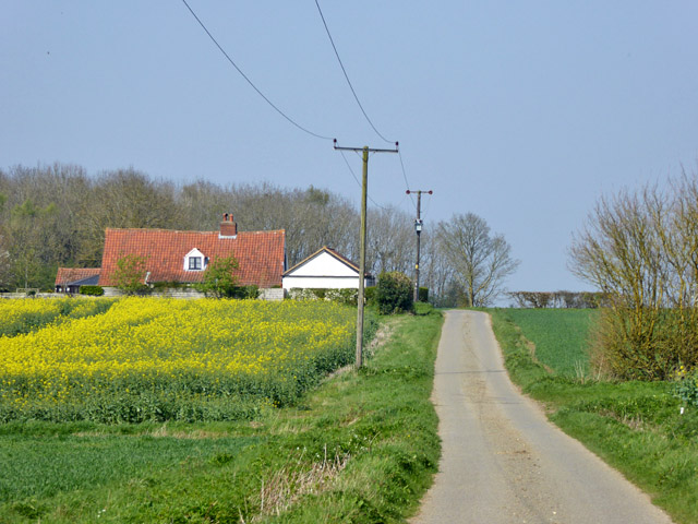
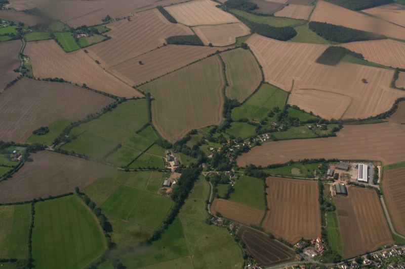
The village is surrounded by picturesque countryside, characterized by rolling hills, meadows, and farmland. The landscape is dotted with traditional thatched cottages and historic buildings, showcasing the village's rich heritage. St. Margaret's Church, a Grade I listed building dating back to the 14th century, stands as a prominent landmark in the village.

Despite its small size, Cowlinge offers a range of amenities to its residents. The village boasts a local pub, The Three Horseshoes, which serves as a social hub for both villagers and visitors. Additionally, there is a village hall that hosts various community events and gatherings.

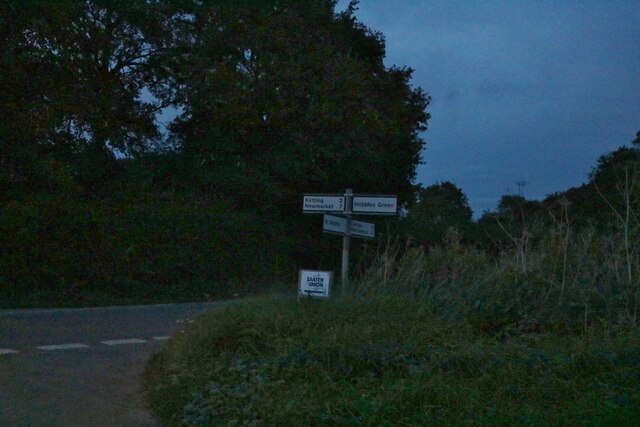
Cowlinge is well-positioned for those seeking a peaceful countryside lifestyle while still having access to larger towns and cities. The nearby town of Newmarket offers a wider range of amenities, including shops, supermarkets, schools, and healthcare facilities. The village benefits from good transport links, with the A143 road passing nearby, providing easy access to neighboring towns and the wider region.

Overall, Cowlinge provides an idyllic setting for residents looking for a close-knit community in a rural and picturesque part of Suffolk.

If you have any feedback on the listing, please let us know in the comments section below.

Cowlinge Images

Images are sourced within 2km of 52.159621/0.50542723 or Grid Reference TL7154. Thanks to Geograph Open Source API. All images are credited.

A Suffolk crossroads This is where a narrow lane from Hobbles Green to Kirtling (ahead) crosses the road from Great Bradley to Cowlinge (right). Late summer or early autumn? The trees hint at both.
A Suffolk crossroads
This is where a narrow lane from Hobbles Green to Kirtling (ahead) crosses the road from Great Bradley to Cowlinge (right). Late summer or early autumn? The trees hint at both.
Queen Street, Cowlinge
Junction on Bradley Road, Cowlinge
Cowlinge war memorial
Elms Road, Pound Green
Mill Farm, Pound Green
Bradley Road, Cowlinge
Field by Bradley Road, Cowlinge
Field by Trotting Horse Lane, Lambfair Green
Woods by Newmarket Road near Cowlinge
Newmarket Road, Cowlinge
Towards Cowlinge Church This was an almost unreally bright morning in late November. The brick tower of the parish church, which stands apart from the village, dates from 1733.
Towards Cowlinge Church
This was an almost unreally bright morning in late November. The brick tower of the parish church, which stands apart from the village, dates from 1733.
Cowlinge: noisy sheep at Erratts Farm Park in a gateway to take a picture of a church (behind the camera) and the chances are the sheep on the other side of the field will come to talk to you. Part of Pond Plantation forms the backdrop. This was an especially mild and sunny morning in late November.
Cowlinge: noisy sheep at Erratts Farm
Park in a gateway to take a picture of a church (behind the camera) and the chances are the sheep on the other side of the field will come to talk to you. Part of Pond Plantation forms the backdrop. This was an especially mild and sunny morning in late November.
Road towards Cock and End Heading north.
Road towards Cock and End
Heading north.
View north from road near Moat Farm The continuous rail fence (in poor repair) rather like a racecourse is noticeable, but there never was one here and the farming is currently arable.
View north from road near Moat Farm
The continuous rail fence (in poor repair) rather like a racecourse is noticeable, but there never was one here and the farming is currently arable.
Lane towards Cowlinge
Mot's End The lane does a right-angled bend to the left around the house. The house, from about 1700, is a grade II listed building. It is described as having a thatched roof, which is not the case now.
Mot's End
The lane does a right-angled bend to the left around the house. The house, from about 1700, is a grade II listed building. It is described as having a thatched roof, which is not the case now.
Capley Wood Lane meets Newmarket Road The signpost just has one finger, pointing back down the lane to Farley Green.
Capley Wood Lane meets Newmarket Road
The signpost just has one finger, pointing back down the lane to Farley Green.
Show me another place!

Cowlinge is located at Grid Ref: TL7154 (Lat: 52.159621, Lng: 0.50542723)

Administrative County: Suffolk

District: West Suffolk

Police Authority: Suffolk

What 3 Words

///sidelined.surpasses.routine. Near Kedington, Suffolk

Related Wikis

Cowlinge

Cowlinge (/ˈkuː.lɪnʤ/), pronounced "Coolinje", is a village and civil parish in the West Suffolk district of Suffolk in eastern England close to the Cambridgeshire...

HM Prison Highpoint North

HM Prison Highpoint North (formerly called Highpoint Prison and Edmunds Hill Prison) is a Category C men's prison, located in the village of Stradishall...

HM Prison Highpoint South

HM Prison Highpoint South (formerly called Highpoint prison) is a Category C men's prison, located in the village of Stradishall (near Haverhill) in Suffolk...

Attleton Green

Attleton Green is a hamlet in Suffolk, England. It is part of the Whepstead & Wickhambrook Electoral division of West Suffolk District. Attleton Green...

Nearby Amenities

Located within 500m of 52.159621,0.50542723
Historic: memorial
Note: war memorial
Lat/Long: 52.1612742/0.5047534
Recycling
Lat/Long: 52.159252/0.5048373
Post Box
Collection Times: Mo-Fr 09:00; Sa 07:00
Operator: Royal Mail
Post Box Type: lamp
Ref: CB8 69
Royal Cypher: EIIR
Royal Cypher Wikidata: Q33102113
Source: survey
Lat/Long: 52.1581743/0.5066237
Post Box
Collection Times: Mo-Fr 16:00; Sa 09:30
Operator: Royal Mail
Post Box Type: lamp
Ref: CB8 70
Royal Cypher: EIIR
Royal Cypher Wikidata: Q33102113
Source: survey
Lat/Long: 52.1630703/0.5056603
Pub
Three Ways (formerly Three Tuns)
Addr City: Cowlinge
Addr Postcode: CB8 9QD
Addr Street: Queen Street
Lat/Long: 52.1595963/0.5052071
Cowlinge
Is In: Suffolk,England,UK
Place: village
Source Name: dictaphone
Wikidata: Q2293844
Lat/Long: 52.1635639/0.5061536
Pound Green
Is In: Suffolk,England,UK
Place: hamlet
Lat/Long: 52.1565883/0.5081358
Lambfair Green
Is In: Suffolk,England,UK
Place: hamlet
Source Name: dictaphone
Lat/Long: 52.1571033/0.5000353
Bus Stop
Three Tuns
Naptan AtcoCode: 390050142
Naptan Bearing: N
Naptan BusStopType: CUS
Naptan CommonName: Three Tuns
Naptan Indicator: adj
Naptan Landmark: Three Tuns
Naptan NaptanCode: sufgdmat
Naptan Street: Queen Street
Naptan Verified: no
Source: naptan_import
Lat/Long: 52.1595716/0.5054645
Bus Stop
Three Tuns
Naptan AtcoCode: 390050143
Naptan Bearing: S
Naptan BusStopType: CUS
Naptan CommonName: Three Tuns
Naptan Indicator: opp
Naptan Landmark: Three Tuns
Naptan NaptanCode: sufgdmaw
Naptan Street: Queen Street
Naptan Verified: no
Source: naptan_import
Lat/Long: 52.1596239/0.5055405
Bus Stop
Tillbrooks Hill
Naptan AtcoCode: 390051097
Naptan Bearing: N
Naptan BusStopType: CUS
Naptan CommonName: Tillbrooks Hill
Naptan Indicator: adj
Naptan Landmark: Tillbrooks Hill
Naptan NaptanCode: sufjgwat
Naptan Street: Queen Street
Naptan Verified: no
Source: naptan_import
Lat/Long: 52.1613761/0.5047616
Bus Stop
Tillbrook Hill
Naptan AtcoCode: 390051098
Naptan Bearing: S
Naptan BusStopType: CUS
Naptan CommonName: Tillbrook Hill
Naptan Indicator: opp
Naptan Landmark: Tillbrook Hill
Naptan NaptanCode: sufjgwaw
Naptan Street: Queen Street
Naptan Verified: no
Source: naptan_import
Lat/Long: 52.1613557/0.5048774
Public Bookcase
Cowlinge Free Community Library
Booth: K6
Disused Amenity: telephone
Man Made: telephone_box
Public Bookcase Type: phone_box
Lat/Long: 52.1594935/0.5056238
The data included in this document is from www.openstreetmap.org. The data is made available under ODbL.

Have you been to Cowlinge?

Leave your review of Cowlinge below (or comments, questions and feedback).