Cowling
Settlement in Lancashire Chorley
England
Cowling
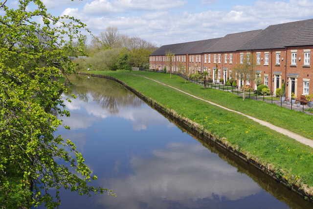
Cowling is a small village located in the Craven district of Lancashire, England. Situated in the beautiful countryside of the South Pennines, it lies approximately 7 miles north-west of the town of Keighley and 12 miles south-west of the city of Bradford. The village is nestled within the Aire Valley, surrounded by rolling hills and picturesque landscapes.
With a population of around 1,800 residents, Cowling maintains a close-knit community feel. The village is known for its quaint stone-built houses, many of which date back to the 18th and 19th centuries, adding to its charm and character. The local architecture is predominantly traditional, reflecting the area's rich history.
Cowling is well-served by amenities, including a primary school, a church, a post office, and a village hall. The village also boasts several local shops, pubs, and eateries, providing essential services and meeting places for residents and visitors alike.
For nature enthusiasts, Cowling offers ample opportunities to explore the great outdoors. The surrounding countryside provides a range of walking and hiking trails, offering breathtaking views of the Yorkshire Dales National Park. The village is also a popular base for outdoor activities such as cycling, horse riding, and fishing.
Overall, Cowling offers a tranquil and idyllic setting for those seeking a peaceful rural lifestyle, while still providing convenient access to nearby towns and cities. Its natural beauty, community spirit, and historic charm make it a delightful place to live or visit.
If you have any feedback on the listing, please let us know in the comments section below.
Cowling Images
Images are sourced within 2km of 53.645218/-2.615646 or Grid Reference SD5916. Thanks to Geograph Open Source API. All images are credited.


Cowling is located at Grid Ref: SD5916 (Lat: 53.645218, Lng: -2.615646)
Administrative County: Lancashire
District: Chorley
Police Authority: Lancashire
What 3 Words
///luck.ship.drive. Near Chorley, Lancashire
Nearby Locations
Related Wikis

Albany Academy, Chorley
Albany Academy (formerly Albany Science College, Albany High School and St Alban's) is a secondary school with academy status located on the south side...
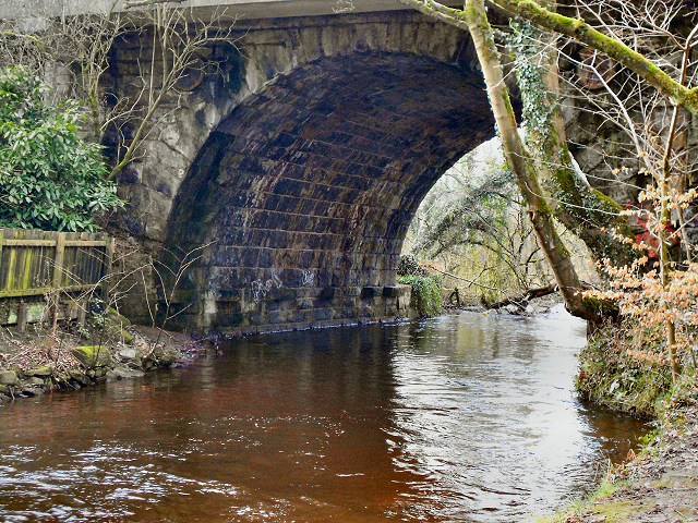
Yarrow Bridge
Yarrow Bridge is a small road bridge which crosses the River Yarrow in Chorley, Lancashire, England. The bridge carries the A6 road over the river. There...
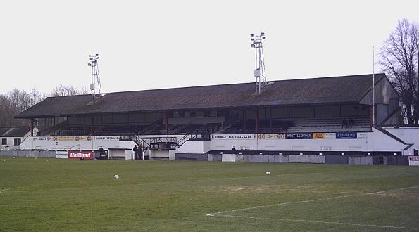
Victory Park (Chorley)
Victory Park is a football ground in Chorley, Lancashire, England. The home ground of Chorley F.C., it opened in 1920. It has hosted some big games, including...
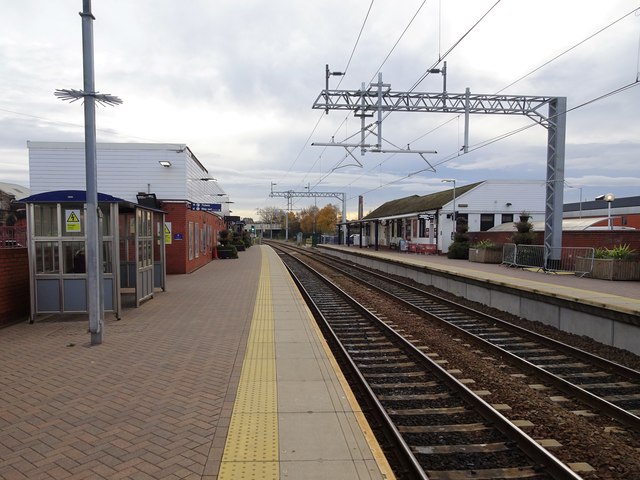
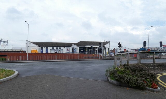
Chorley railway station
Chorley railway station serves the town of Chorley in Lancashire, England. Since 2004 it has been linked with Chorley Interchange bus and coach station...

St George's Church, Chorley
St George's Church is in St George's Street, Chorley, Lancashire, England. It is an active Anglican parish church in the deanery of Chorley, the archdeaconry...

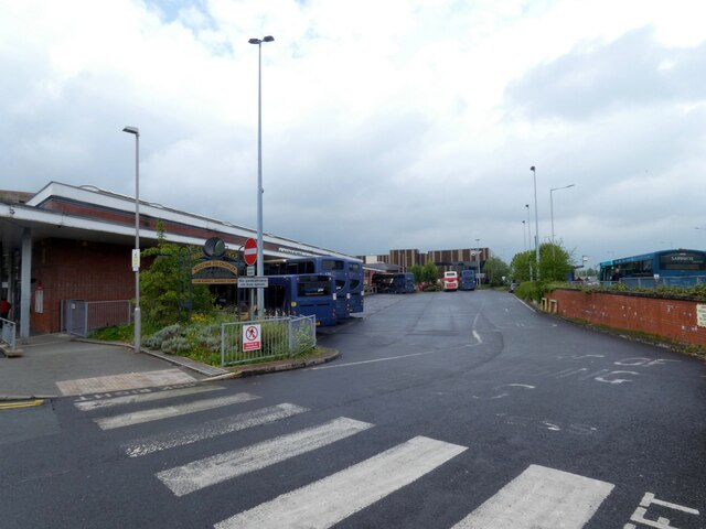
Chorley Interchange
Chorley Interchange is a bus station in Chorley, England. == History == Chorley Interchange opened in February 2003 replacing the previous structure. It...
Holy Cross Catholic High School, Chorley
Holy Cross Catholic High School is a Roman Catholic Voluntary aided comprehensive school in Chorley, Lancashire, England. The school provides co-educational...

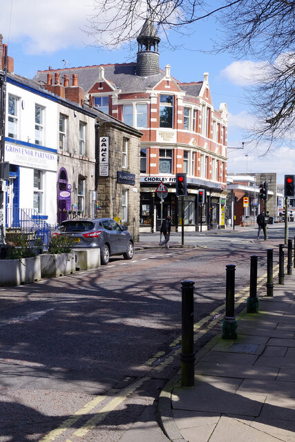
Chorley
Chorley is a town and the administrative centre of the wider Borough of Chorley in Lancashire, England, 8 miles (13 km) north of Wigan, 11 miles (18 km...
Nearby Amenities
Located within 500m of 53.645218,-2.615646Have you been to Cowling?
Leave your review of Cowling below (or comments, questions and feedback).