Londonderry Coppice
Wood, Forest in Shropshire
England
Londonderry Coppice
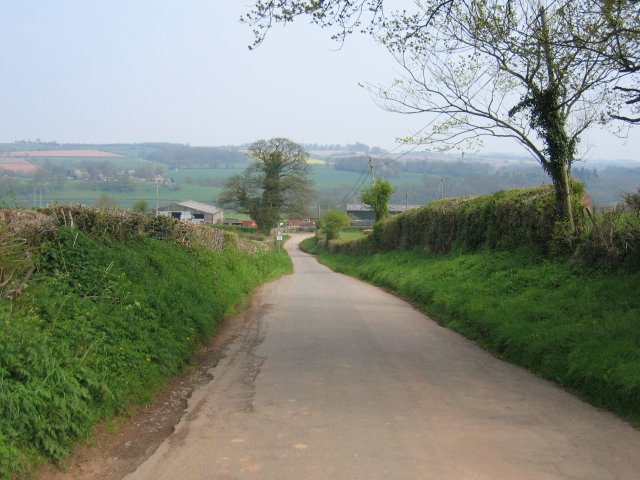
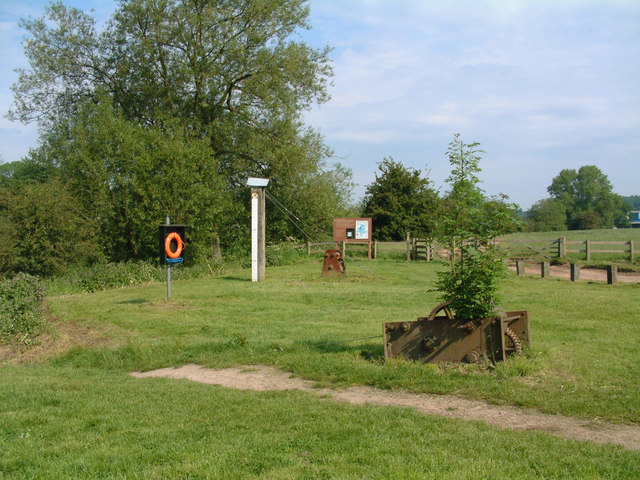
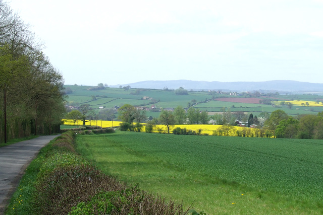
Londonderry Coppice is a picturesque woodland located in the county of Shropshire, England. Situated near the village of Londonderry, this coppice is renowned for its natural beauty and rich biodiversity. Spanning over an area of approximately 100 acres, it serves as a haven for wildlife and a popular destination for nature enthusiasts.
The coppice primarily consists of a mixed woodland, comprising various tree species such as oak, beech, birch, and ash. These trees form a dense canopy, providing shade and shelter for the abundant flora and fauna present in the area. The forest floor is carpeted with ferns, mosses, and wildflowers, creating a vibrant and enchanting atmosphere.
Visitors to Londonderry Coppice can explore the network of well-maintained footpaths and trails that wind their way through the woodland. These trails offer a chance to immerse oneself in the tranquility of nature, while also providing opportunities for birdwatching and wildlife spotting. The coppice is home to numerous bird species, including woodpeckers, owls, and various songbirds.
Historically, Londonderry Coppice has been managed through the traditional practice of coppicing, whereby trees are periodically cut to encourage new growth. This sustainable management method has resulted in a diverse range of habitats within the woodland, supporting a wide variety of wildlife.
Overall, Londonderry Coppice is a natural gem in the heart of Shropshire, offering visitors a chance to connect with nature and experience the beauty of a well-preserved woodland.
If you have any feedback on the listing, please let us know in the comments section below.
Londonderry Coppice Images
Images are sourced within 2km of 52.467325/-2.3820847 or Grid Reference SO7485. Thanks to Geograph Open Source API. All images are credited.


Londonderry Coppice is located at Grid Ref: SO7485 (Lat: 52.467325, Lng: -2.3820847)
Unitary Authority: Shropshire
Police Authority: West Mercia
What 3 Words
///logic.unsecured.mild. Near Alveley, Shropshire
Nearby Locations
Related Wikis

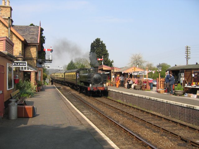
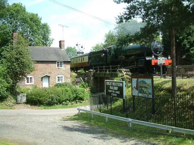
Hampton Loade railway station
Hampton Loade railway station is a station on the Severn Valley Railway heritage line, close to the hamlet of Hampton on the western bank of the River...

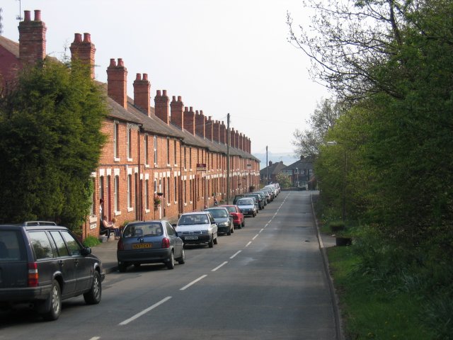
Hampton Loade
Hampton Loade is a hamlet in Shropshire, England along the Severn Valley. It is situated on the east bank of the River Severn at grid reference SO747864...
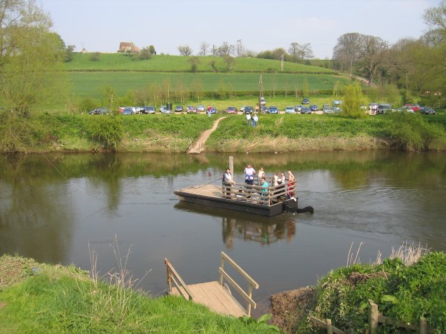
Hampton Loade Ferry
Hampton Loade Ferry was a pedestrian cable ferry linking the villages of Hampton Loade and Hampton across the River Severn in the English county of Shropshire...
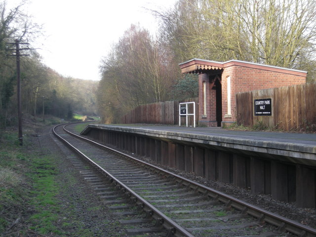
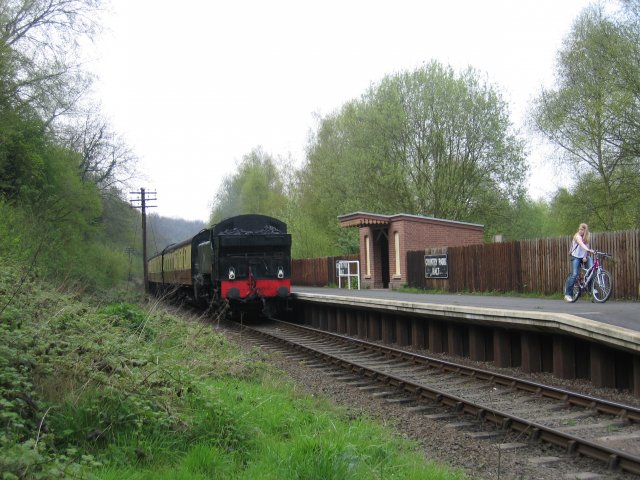
Country Park Halt railway station
Country Park Halt is an unstaffed request stop on the Severn Valley Railway heritage line in Shropshire, situated near the west bank of the River Severn...
Nearby Amenities
Located within 500m of 52.467325,-2.3820847Have you been to Londonderry Coppice?
Leave your review of Londonderry Coppice below (or comments, questions and feedback).