Knighton Wood

Wood, Forest in Staffordshire Stafford

England

Knighton Wood

Fields and crops near Hopshot
Fields and crops near Hopshot Credit: Row17

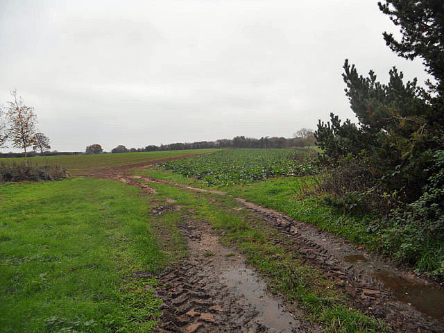
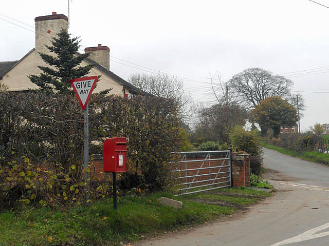
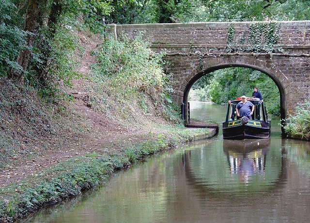
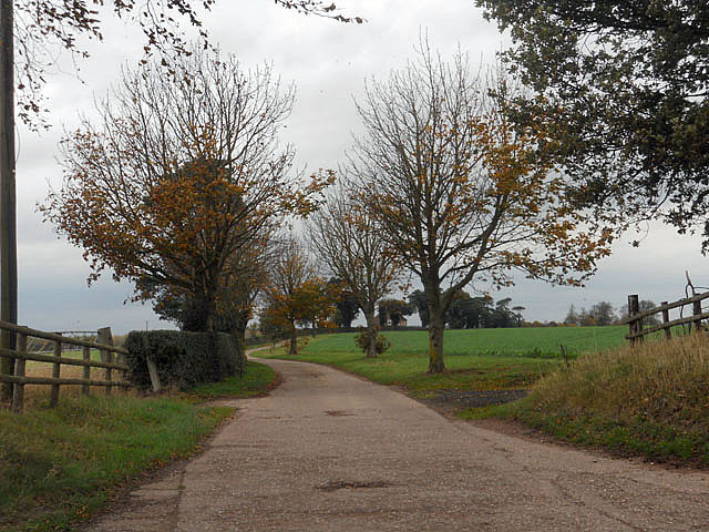
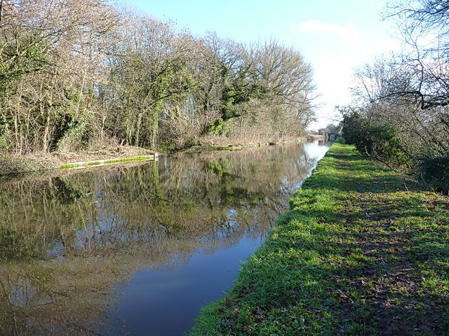
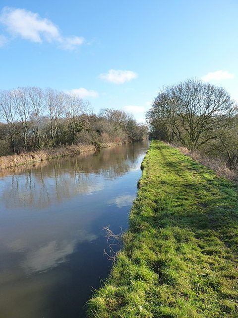
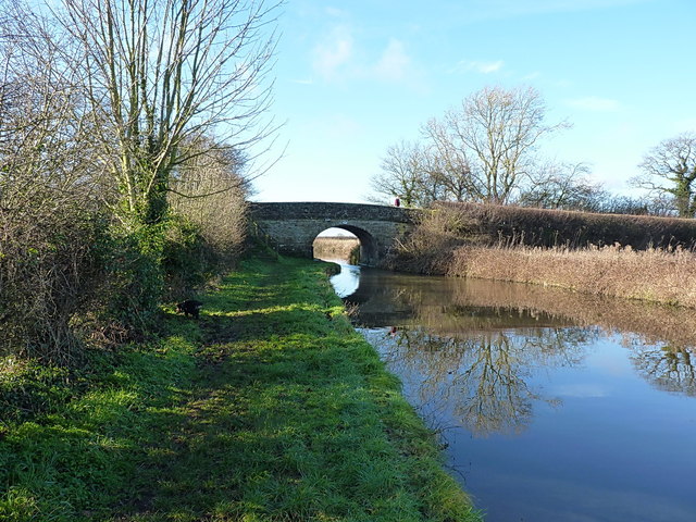
Knighton Wood is a picturesque woodland area located in Staffordshire, England. Covering an area of approximately 45 hectares, the wood is situated near the village of Knighton, just a few miles from the bustling city of Stafford. The wood is a popular destination for nature lovers, hikers, and birdwatchers, offering a tranquil and serene escape from the surrounding urban environment.

The woodland is predominantly made up of native broadleaf trees, including oak, ash, birch, and beech, which create a dense canopy overhead. This provides a perfect habitat for a variety of wildlife, including deer, squirrels, and numerous bird species such as woodpeckers and owls. Visitors to the wood can often catch glimpses of these creatures as they explore the well-maintained footpaths that wind their way through the trees.

The wood is also home to a diverse range of plant life, with an array of wildflowers adorning the forest floor in the spring and summer months. Bluebells, primroses, and foxgloves are just a few of the species that contribute to the vibrant and colorful display.

Knighton Wood is managed by a local conservation group, who work tirelessly to preserve and protect the natural beauty of the area. They organize regular guided walks and educational events, allowing visitors to learn more about the woodland's ecology and history.

Overall, Knighton Wood offers a peaceful retreat for nature enthusiasts, providing a haven of tranquility and natural beauty in the heart of Staffordshire.

If you have any feedback on the listing, please let us know in the comments section below.

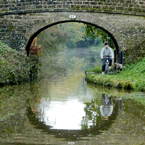
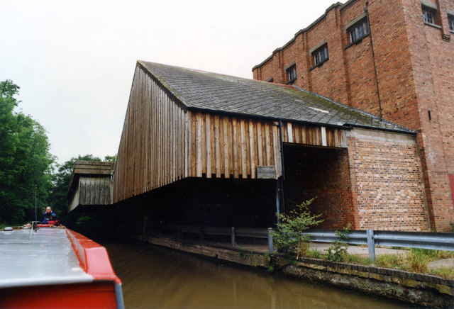
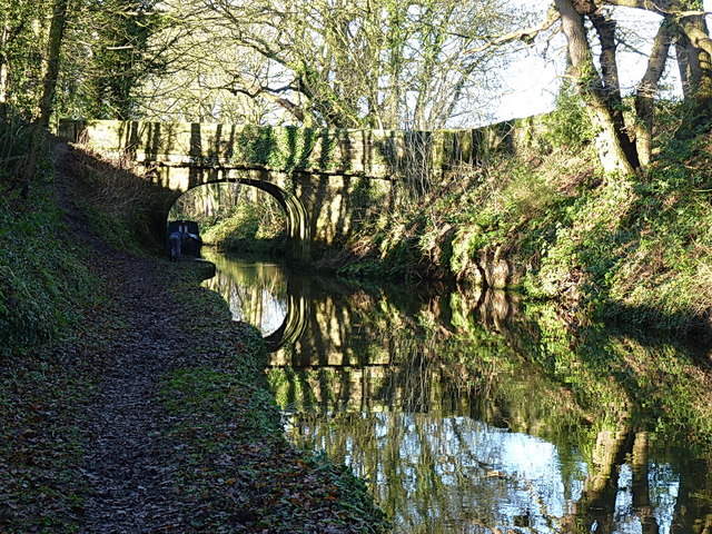
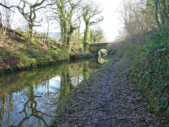
Knighton Wood Images

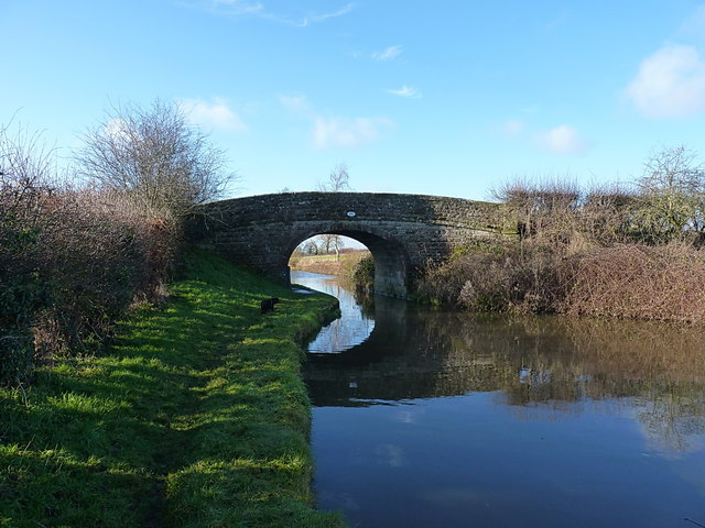
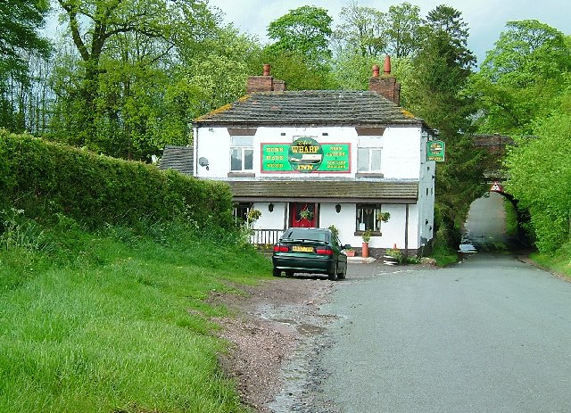
Images are sourced within 2km of 52.846978/-2.3880247 or Grid Reference SJ7327. Thanks to Geograph Open Source API. All images are credited.

Fields and crops near Hopshot
Postbox at Doley crossroads
Shropshire Union canal at Knighton, Staffordshire Knighton Bridge (No 46) carries a bridleway and farm track.
Shropshire Union canal at Knighton, Staffordshire
Knighton Bridge (No 46) carries a bridleway and farm track.
Private driveway
Private driveway
Biking the dog, near Cheswardine, Shropshire Well "walking the dog" would seem to be a wild inaccuracy, and I do try to make my descriptions reliable. This is at Black Flat Bridge, No 47 across the Shropshire Union Canal, on a dull morning in October.
Biking the dog, near Cheswardine, Shropshire
Well "walking the dog" would seem to be a wild inaccuracy, and I do try to make my descriptions reliable. This is at Black Flat Bridge, No 47 across the Shropshire Union Canal, on a dull morning in October.
Premier Foods Knighton Wharf Adbaston I don't know how old the information is but the Knighton factory reportedly produces around 29,000 tonnes of powder per annum. Main brands include Cadbury's Drinking Chocolate, Highlights, Marvel, Angel Delight, Birds Custard Powder, Hartley's powder Jelly and others. In 1660 Knighton was exempted from the payment of all civil and military taxes. Cadburys’ built a milk processing factory at Knighton in 1911, attracted by the rates exemption. Cadbury operated the wharf up to the 1960s and the exemption from rates for Knighton continued as late as the 1970s although this also meant that not all local public services were supplied to the village.
Premier Foods Knighton Wharf Adbaston
I don't know how old the information is but the Knighton factory reportedly produces around 29,000 tonnes of powder per annum. Main brands include Cadbury's Drinking Chocolate, Highlights, Marvel, Angel Delight, Birds Custard Powder, Hartley's powder Jelly and others. In 1660 Knighton was exempted from the payment of all civil and military taxes. Cadburys’ built a milk processing factory at Knighton in 1911, attracted by the rates exemption. Cadbury operated the wharf up to the 1960s and the exemption from rates for Knighton continued as late as the 1970s although this also meant that not all local public services were supplied to the village.
Bridge 46 and the Shroppy Just west of Knighton, the minor bridge 46 carries a farm track, and gives pedestrian access to the towpath, which is currently closed off at the adjacent road bridge 45.
Bridge 46 and the Shroppy
Just west of Knighton, the minor bridge 46 carries a farm track, and gives pedestrian access to the towpath, which is currently closed off at the adjacent road bridge 45.
Knighton road bridge (45) on the Shroppy Access from the road bridge to the (rather muddy) towpath is closed off at the moment, so a quick stroll along a field edge to the adjacent bridge 46 is required.
Knighton road bridge (45) on the Shroppy
Access from the road bridge to the (rather muddy) towpath is closed off at the moment, so a quick stroll along a field edge to the adjacent bridge 46 is required.
Canal milepost at Knighton A cast iron milepost, one of several along this length of the cut; the next one to the northwest is <a href="https://www.geograph.org.uk/photo/3819016">SJ7327 : Canal milepost at Park Heath</a>
Canal milepost at Knighton
A cast iron milepost, one of several along this length of the cut; the next one to the northwest is SJ7327 : Canal milepost at Park Heath
Shroppy canal at Knighton A section of the canal coming out of Knighton cutting, and heading towards the Black Flat bridge in the distance.
Shroppy canal at Knighton
A section of the canal coming out of Knighton cutting, and heading towards the Black Flat bridge in the distance.
Black Flat bridge (no 47) on the Shroppy
The Knighton Wood straight Between Knighton cutting and the woods ahead, the canal here cuts a dead straight course across the countryside of Staffordshire. The border with Shropshire is just on the far side of the woods.
The Knighton Wood straight
Between Knighton cutting and the woods ahead, the canal here cuts a dead straight course across the countryside of Staffordshire. The border with Shropshire is just on the far side of the woods.
In Knighton Wood An area that used to provide superb fishing - small roach, perch and gudgeon aplenty in the 1980s, with the chance of a decent bream or carp once in a while. It'd be interesting to have a warm afternoon back here with half a pint of pinkies and some bloodworm.
In Knighton Wood
An area that used to provide superb fishing - small roach, perch and gudgeon aplenty in the 1980s, with the chance of a decent bream or carp once in a while. It'd be interesting to have a warm afternoon back here with half a pint of pinkies and some bloodworm.
Just west of Knighton Wood A straight section of the Shroppy, where it crosses the county border between Shrops (in the foreground) and Staffs (about 150 yards away)
Just west of Knighton Wood
A straight section of the Shroppy, where it crosses the county border between Shrops (in the foreground) and Staffs (about 150 yards away)
Park Heath bridge (48) The road between Puleston and Soudley crosses the Shroppy at Park Heath.
Park Heath bridge (48)
The road between Puleston and Soudley crosses the Shroppy at Park Heath.
Canal milepost at Park Heath One of several original cast iron mileposts along this piece of the canal. The next one southeast is <a href="https://www.geograph.org.uk/photo/3819006">SJ7426 : Canal milepost at Knighton</a>, and the next one northwest is <a href="https://www.geograph.org.uk/photo/3819019">SJ7128 : Canal milepost at Little Soudley</a>
Canal milepost at Park Heath
One of several original cast iron mileposts along this piece of the canal. The next one southeast is SJ7426 : Canal milepost at Knighton, and the next one northwest is SJ7128 : Canal milepost at Little Soudley
Hazeldines Bridge (no 49) A farm bridge, providing access from Park Heath farm to fields north of the canal.
Hazeldines Bridge (no 49)
A farm bridge, providing access from Park Heath farm to fields north of the canal.
The 'Oak Tree' stretch Known to those of us that regularly used to fish here in the 1980s as the Oak Tree length, this piece of canal would produce good nets of small roach and bream ('skimmers'), with a good chance of dropping on a decent shoal of bigger bream on occasions. It still looks much the same, but whether it still fishes as well is open to question. Oh, and the eponymous oak seems to have gone (or been replaced by the alder on the far bank)
The 'Oak Tree' stretch
Known to those of us that regularly used to fish here in the 1980s as the Oak Tree length, this piece of canal would produce good nets of small roach and bream ('skimmers'), with a good chance of dropping on a decent shoal of bigger bream on occasions. It still looks much the same, but whether it still fishes as well is open to question. Oh, and the eponymous oak seems to have gone (or been replaced by the alder on the far bank)
Show me another place!

Knighton Wood is located at Grid Ref: SJ7327 (Lat: 52.846978, Lng: -2.3880247)

Administrative County: Staffordshire

District: Stafford

Police Authority: Staffordshire

What 3 Words

///comments.pacemaker.fencing. Near Chetwynd, Shropshire

Related Wikis

Knighton, Stafford

Knighton is a hamlet part of the parish of Adbaston in the county of Staffordshire, England. Knighton is situated close to the Staffordshire/Shropshire...

Soudley, Shropshire

Soudley is a small village in Shropshire in the civil parish of Cheswardine. The village had a pub called The Wheatsheaf until it was destroyed by fire...

Adbaston

Adbaston is a village and a civil parish in the English county of Staffordshire. == Location == The village is 13 miles (20.9 km) north east of the town...

Shebdon

Shebdon is a hamlet in the county of Staffordshire, England. It is part of the parish of High Offley, a small village approximately 1.5 miles to the ENE...

Have you been to Knighton Wood?

Leave your review of Knighton Wood below (or comments, questions and feedback).