Bays Wood

Wood, Forest in Gloucestershire

England

Bays Wood

Toll House, B4060 Wickwar Tollgate Cottage, on the NW side of the road. Originally served the Kingswood Turnpike Trust.

Milestone Society National ID: AV.WIC01
Toll House, B4060 Wickwar Credit: Mr Red

Bays Wood is a charming forest located in Gloucestershire, England. Spanning over a vast area, it offers visitors a peaceful retreat within nature's embrace. The woodland is situated near the village of Bays, hence its name, and is known for its captivating beauty and diverse vegetation.

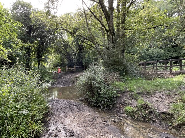
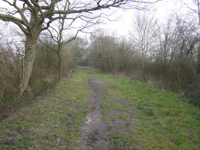
Upon entering Bays Wood, visitors are greeted by a network of well-maintained footpaths that wind through the dense foliage. The woodland's towering trees, including oak, beech, and ash, create a magnificent canopy that filters sunlight and casts enchanting shadows on the forest floor. Bluebells, wild garlic, and ferns adorn the ground, adding a splash of color and texture to the landscape.

For nature enthusiasts, Bays Wood is a haven for wildlife. The forest is home to numerous species of birds, such as woodpeckers, nuthatches, and thrushes, which delight visitors with their melodic songs. Squirrels and rabbits can also be spotted darting among the trees, while lucky observers may even catch a glimpse of a deer gracefully navigating through the undergrowth.

The wood is open to the public year-round, allowing visitors to enjoy its beauty in every season. In spring, the forest bursts into life with vibrant blossoms and fresh green leaves. Summer brings a lush and vibrant atmosphere, with the rustling of leaves providing a soothing soundtrack. Autumn is a sight to behold, as the forest transforms into a kaleidoscope of golden hues. And in winter, a serene stillness envelops the woodland, creating a peaceful and tranquil setting.

Bays Wood is not only a picturesque destination but also an important ecological site, fostering biodiversity and providing a sanctuary for both flora and fauna. Its natural splendor and tranquil ambiance make it a must-visit location for those seeking solace in nature's embrace.

If you have any feedback on the listing, please let us know in the comments section below.
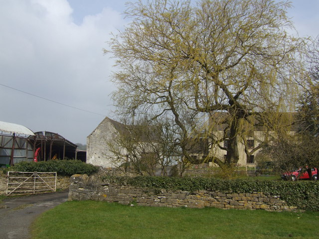
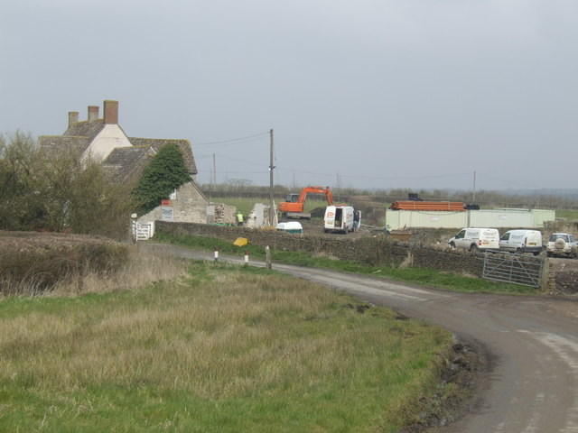
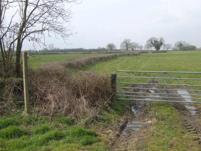
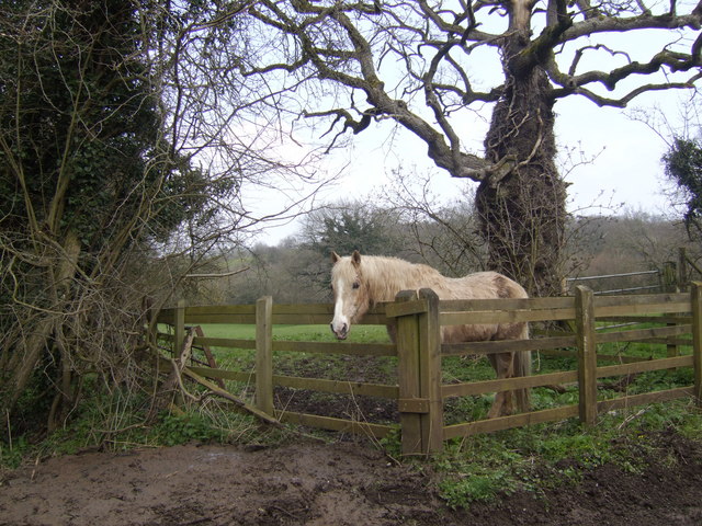
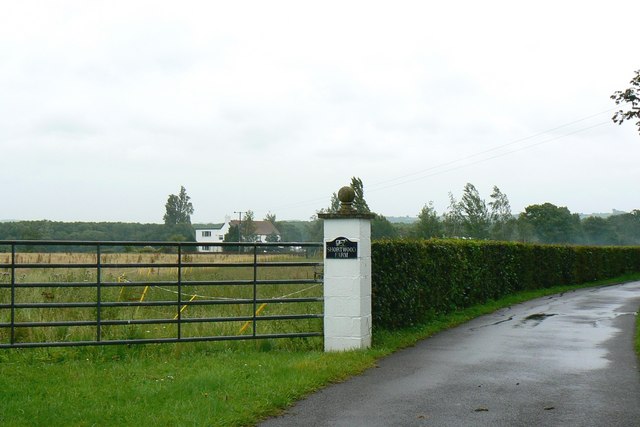
Bays Wood Images

Images are sourced within 2km of 51.578307/-2.3789944 or Grid Reference ST7386. Thanks to Geograph Open Source API. All images are credited.

Toll House, B4060 Wickwar Tollgate Cottage, on the NW side of the road. Originally served the Kingswood Turnpike Trust.

Milestone Society National ID: AV.WIC01
Toll House, B4060 Wickwar
Tollgate Cottage, on the NW side of the road. Originally served the Kingswood Turnpike Trust. Milestone Society National ID: AV.WIC01
Ford on Little Avon River This ford on the Little Avon River at Wickwar is found beside Sturt Bridge which is known locally as Roman Bridge as it is on the route of a Roman road. A video of the ford can be viewed at:
<span class="nowrap"><a title="https://youtu.be/Mcgc6bxe6-o" rel="nofollow ugc noopener" href="https://youtu.be/Mcgc6bxe6-o">Link</a><img style="margin-left:2px;" alt="External link" title="External link - shift click to open in new window" src="https://s1.geograph.org.uk/img/external.png" width="10" height="10"/></span>
Ford on Little Avon River
This ford on the Little Avon River at Wickwar is found beside Sturt Bridge which is known locally as Roman Bridge as it is on the route of a Roman road. A video of the ford can be viewed at: LinkExternal link
Lower Wood Ford This ford is found in Lower Wood Nature Reserve a short walk down from the carpark.
Lower Wood Ford
This ford is found in Lower Wood Nature Reserve a short walk down from the carpark.
Sturt Bridge Hidden away in the valley below the village but well known to locals.  You can find it by walking down Poplar Lane.
Sturt Bridge
Hidden away in the valley below the village but well known to locals. You can find it by walking down Poplar Lane.
Sturt Farm Available for hire (at least in wintertime)
Sturt Farm
Available for hire (at least in wintertime)
Oxwick farm The farmhouse is at the centre of a group of huge dilapidated buildings.
Oxwick farm
The farmhouse is at the centre of a group of huge dilapidated buildings.
Mapleridge caravan storage Rural business diversification.
Mapleridge caravan storage
Rural business diversification.
Pincots Lane This isolated house stands at the junction with the B4060.
Pincots Lane
This isolated house stands at the junction with the B4060.
Haskin's Farm With a fine willow in typical early leaf.
Haskin's Farm
With a fine willow in typical early leaf.
Development at Bix Farm This substantial building is receiving a "full-on makeover"!
Development at Bix Farm
This substantial building is receiving a "full-on makeover"!
Footpath off Vinney Lane Heading West towards Springfield Farm.
Footpath off Vinney Lane
Heading West towards Springfield Farm.
Over the fields to Sodbury Common The footpath appears the stop dead in the middle of this gridsquare on 1:50,000 scale map, but in fact reaches the common land with freedom to roam. The RTR areas have not reached the smaller scale OS maps yet!
Over the fields to Sodbury Common
The footpath appears the stop dead in the middle of this gridsquare on 1:50,000 scale map, but in fact reaches the common land with freedom to roam. The RTR areas have not reached the smaller scale OS maps yet!
Bridleway north from Mapleridge Lane Good walking country this with woodland and common land and a fine network of paths. Lowland moor is more than a little damp!
Bridleway north from Mapleridge Lane
Good walking country this with woodland and common land and a fine network of paths. Lowland moor is more than a little damp!
Pincots Farm A relatively new but clearly infrequently-used drive directly to the farm from the B4060 Sodbury Road. A footpath feeds off to the right across an uninviting ploughed field.
Pincots Farm
A relatively new but clearly infrequently-used drive directly to the farm from the B4060 Sodbury Road. A footpath feeds off to the right across an uninviting ploughed field.
Go on - take a picture of me! A pony in a field by Horwood Lane. Amazing how horses in particular appear to enjoy being made the subject of photography - never mind the landscape; look at me!
Go on - take a picture of me!
A pony in a field by Horwood Lane. Amazing how horses in particular appear to enjoy being made the subject of photography - never mind the landscape; look at me!
Hillhouse Farm, Hall End Viewed from a footpath which follows the fenceline visible in the centre of the image.
Hillhouse Farm, Hall End
Viewed from a footpath which follows the fenceline visible in the centre of the image.
Shortwood Farm, near Wickwar The farm is visible in the background. The metalled driveway leading off to the right is private from the gatepost on. There is a public footpath on the other side of the gate to the left of the image.
Shortwood Farm, near Wickwar
The farm is visible in the background. The metalled driveway leading off to the right is private from the gatepost on. There is a public footpath on the other side of the gate to the left of the image.
Confluence of streams and a bridge Lower Woods This is on the edge of Lower Woods Nature Reserve
Confluence of streams and a bridge Lower Woods
This is on the edge of Lower Woods Nature Reserve
Show me another place!

Bays Wood is located at Grid Ref: ST7386 (Lat: 51.578307, Lng: -2.3789944)

Unitary Authority: South Gloucestershire

Police Authority: Avon and Somerset

What 3 Words

///sweetly.screamed.interrupt. Near Wickwar, Gloucestershire

Related Wikis

Nearby Amenities

Located within 500m of 51.578307,-2.3789944
The data included in this document is from www.openstreetmap.org. The data is made available under ODbL.

Have you been to Bays Wood?

Leave your review of Bays Wood below (or comments, questions and feedback).