Home Covert
Wood, Forest in Somerset Mendip
England
Home Covert
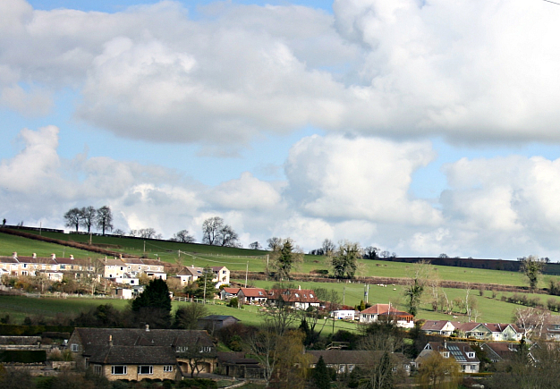
Home Covert, Somerset (Wood, Forest) is a picturesque woodland area located in the county of Somerset, England. Covering an approximate area of 50 hectares, this enchanting forest is a haven for nature lovers and offers a tranquil escape from the hustle and bustle of everyday life.
Home Covert is characterized by its dense and diverse tree population, including oak, beech, and birch trees, which create a stunning canopy over the forest floor. These towering trees provide a habitat for a wide variety of wildlife, making it an excellent spot for birdwatching and wildlife spotting. Visitors may be lucky enough to catch a glimpse of woodpeckers, owls, and various small mammals, such as foxes and squirrels.
The forest is crisscrossed with well-maintained walking trails, allowing visitors to explore the area and appreciate its natural beauty. The trails wind through the woodland, offering breathtaking views of the surrounding countryside and providing opportunities for peaceful walks and invigorating hikes.
Home Covert also boasts a number of picnic areas, making it a perfect destination for a family day out. Visitors can enjoy a leisurely lunch surrounded by the sights and sounds of nature, or simply relax and soak up the peaceful ambiance of the forest.
The woodland is open to the public year-round and is managed by the local conservation authority to ensure the preservation of its natural ecosystem. Whether you are a nature enthusiast, a keen walker, or simply looking for a serene and picturesque escape, Home Covert, Somerset (Wood, Forest) is sure to captivate and inspire.
If you have any feedback on the listing, please let us know in the comments section below.
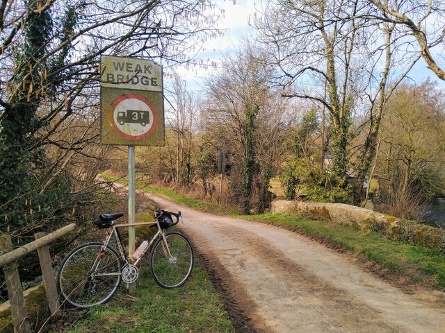
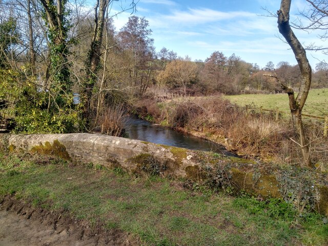
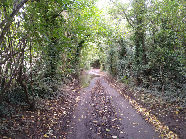
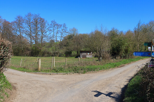
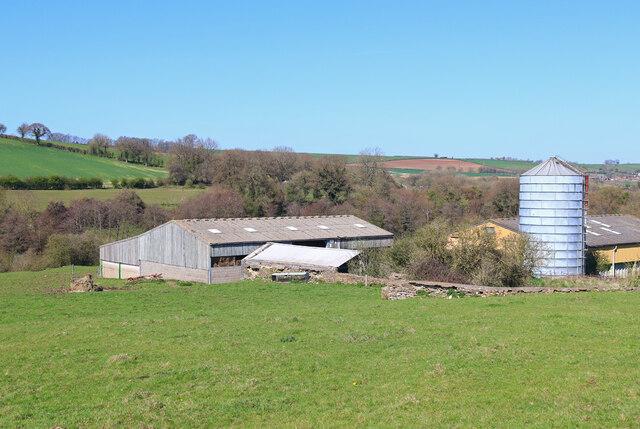
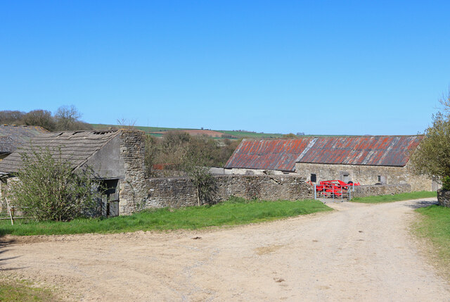
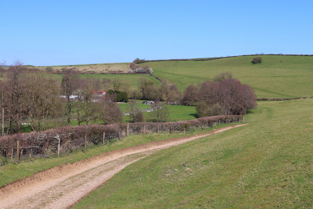
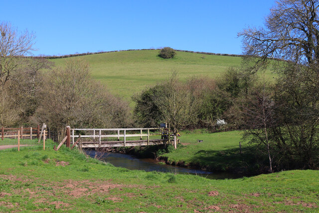
Home Covert Images
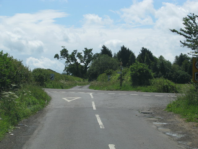
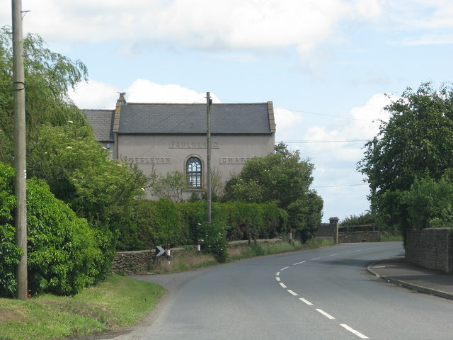
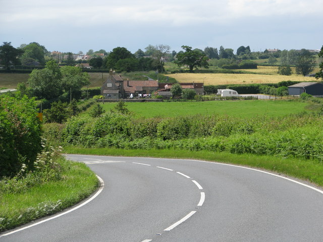
Images are sourced within 2km of 51.299456/-2.3772371 or Grid Reference ST7355. Thanks to Geograph Open Source API. All images are credited.


Home Covert is located at Grid Ref: ST7355 (Lat: 51.299456, Lng: -2.3772371)
Administrative County: Somerset
District: Mendip
Police Authority: Avon and Somerset
What 3 Words
///downsize.passage.card. Near Wellow, Somerset
Nearby Locations
Related Wikis

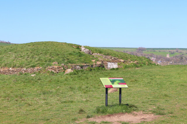
Stoney Littleton Long Barrow
The Stoney Littleton Long Barrow (also known as the Bath Tumulus and the Wellow Tumulus) is a Neolithic chambered tomb with multiple burial chambers, located...
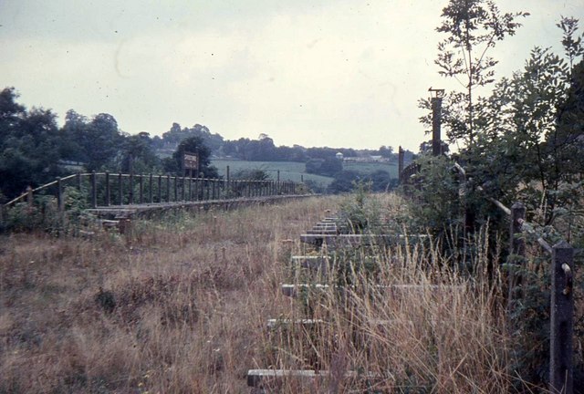
Shoscombe and Single Hill Halt railway station
Shoscombe & Single Hill Halt was a small railway station on the Somerset and Dorset Joint Railway serving small villages between Wellow and Radstock, about...
Shoscombe
Shoscombe is a small village and civil parish in the valley of the Wellow Brook in north-east Somerset, about 7 miles (11 km) south of Bath, England. The...

Church of St James The Less, Foxcote
The Anglican Church of St James The Less in Foxcote, within the English county of Somerset, was rebuilt in the early 18th century incorporating a 15th...

Radstock rail accident
The Radstock rail accident took place on the Somerset and Dorset Joint Railway in south west England, on 7 August 1876. Two trains collided on a single...

Wellow (Somerset) railway station
Wellow railway station was a station on the Somerset and Dorset Joint Railway at Wellow in the county of Somerset in England. Opened on 20 July 1874, the...

Hemington, Somerset
Hemington is a village and civil parish 5.5 miles (8.9 km) north west of Frome, in the Mendip district of Somerset, England. It is located just off the...

Wellow, Somerset
Wellow is a village and civil parish in Somerset, England, about 5 miles (8.0 km) south of Bath. The parish, which includes the hamlets of Twinhoe, White...
Nearby Amenities
Located within 500m of 51.299456,-2.3772371Have you been to Home Covert?
Leave your review of Home Covert below (or comments, questions and feedback).