Beck Wood
Wood, Forest in Westmorland Eden
England
Beck Wood

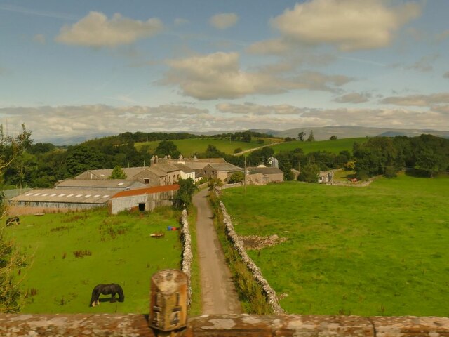
Beck Wood, located in the county of Westmorland, is a picturesque forest situated in the North West region of England. Spanning over a vast area, the wood is renowned for its natural beauty and biodiversity. The forest is predominantly composed of deciduous trees, including oak, beech, and ash, which create a dense canopy, providing shade and shelter to the diverse flora and fauna.
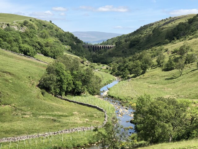
Beck Wood is intersected by a meandering stream called Beck River, which adds to the enchanting atmosphere of the forest. The gently flowing water, accompanied by the tranquil sounds of birds chirping and leaves rustling, creates a serene environment that is ideal for nature lovers and hikers.
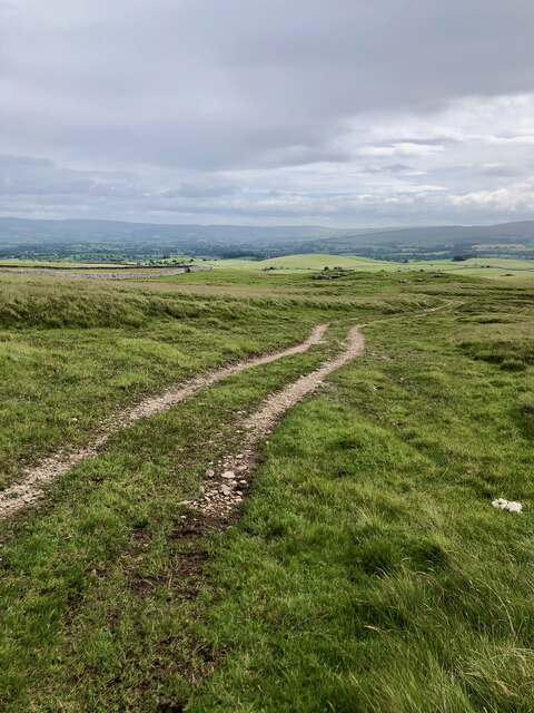
The wood offers various recreational opportunities, with numerous well-maintained trails and pathways that allow visitors to explore its enchanting landscapes. These trails cater to different levels of difficulty, accommodating both casual strollers and experienced hikers.
Wildlife enthusiasts will be delighted by the diverse range of animal species that call Beck Wood their home. Squirrels, foxes, badgers, and an array of bird species can be spotted within the forest's boundaries. The wood is also home to several rare and protected species, making it a significant area for conservation efforts.
Beck Wood, with its idyllic setting and rich biodiversity, serves as a cherished natural gem in Westmorland. Its accessibility, combined with its natural beauty, makes it an ideal destination for nature lovers, hikers, and those seeking tranquility amidst the beauty of the English countryside.
If you have any feedback on the listing, please let us know in the comments section below.
Beck Wood Images
Images are sourced within 2km of 54.464231/-2.407049 or Grid Reference NY7307. Thanks to Geograph Open Source API. All images are credited.

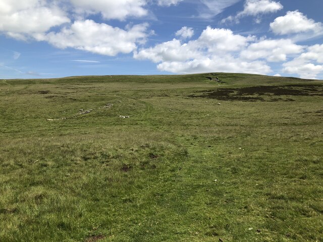
![Romano-British settlement and associated field system at Waitby Intake For more info. see Heritagegateway.org.uk. (2018). List Entry Number: 1018064. [online] Available at: <span class="nowrap"><a title="https://www.heritagegateway.org.uk/Gateway/Results_Single.aspx?uid=1018064&amp;resourceID=5" rel="nofollow ugc noopener" href="https://www.heritagegateway.org.uk/Gateway/Results_Single.aspx?uid=1018064&amp;resourceID=5">Link</a><img style="margin-left:2px;" alt="External link" title="External link - shift click to open in new window" src="https://s1.geograph.org.uk/img/external.png" width="10" height="10"/></span> [Accessed 26 Jun. 2022].](https://s0.geograph.org.uk/geophotos/07/21/03/7210332_c411505d.jpg)
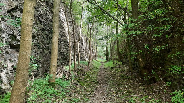
![Long Plantation The name that appears on the 1862 6&quot; O.S. map. with a wood symbol — see Maps.nls.uk. (2022). View map: Westmorland XXX (includes: Kirkby Stephen; Mallerstang; Nateby; Ravenstonedale; ...) - Ordnance Survey Six-inch England and Wales, 1842-1952. [online] Available at: <span class="nowrap"><a title="https://maps.nls.uk/view/102347880#zoom=6&amp;lat=9304&amp;lon=2399&amp;layers=BT" rel="nofollow ugc noopener" href="https://maps.nls.uk/view/102347880#zoom=6&amp;lat=9304&amp;lon=2399&amp;layers=BT">Link</a><img style="margin-left:2px;" alt="External link" title="External link - shift click to open in new window" src="https://s1.geograph.org.uk/img/external.png" width="10" height="10"/></span> [Accessed 26 Jun. 2022].](https://s3.geograph.org.uk/geophotos/07/21/03/7210371_573ad245.jpg)


Beck Wood is located at Grid Ref: NY7307 (Lat: 54.464231, Lng: -2.407049)
Administrative County: Cumbria
District: Eden
Police Authority: Cumbria
What 3 Words
///blossom.scoping.tiny. Near Kirkby Stephen, Cumbria
Nearby Locations
Related Wikis
Smardale
Smardale is a small village and former civil parish, now in the parish of Waitby, in the Eden district, in Cumbria, England. In 1891 the parish had a population...

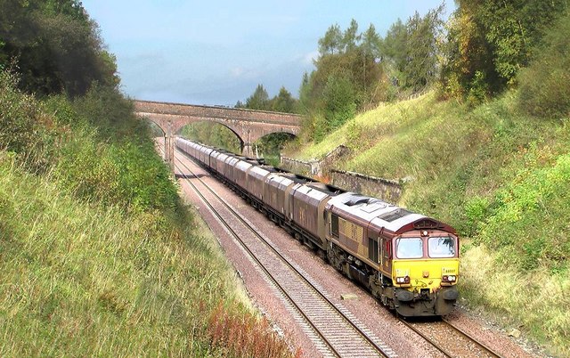
Smardale railway station
Smardale railway station was a minor station on the South Durham & Lancashire Union Railway between Tebay and Kirkby Stephen East. It served the villages...
Waitby
Waitby is a small village and civil parish in the Eden district of Cumbria, England. The parish contains two small villages, Waitby and Smardale, plus...

Crosby Garrett
Crosby Garrett is a hamlet and civil parish in the Eden District of Cumbria, England. It was formerly in the county of Westmorland. In the 2011 census...
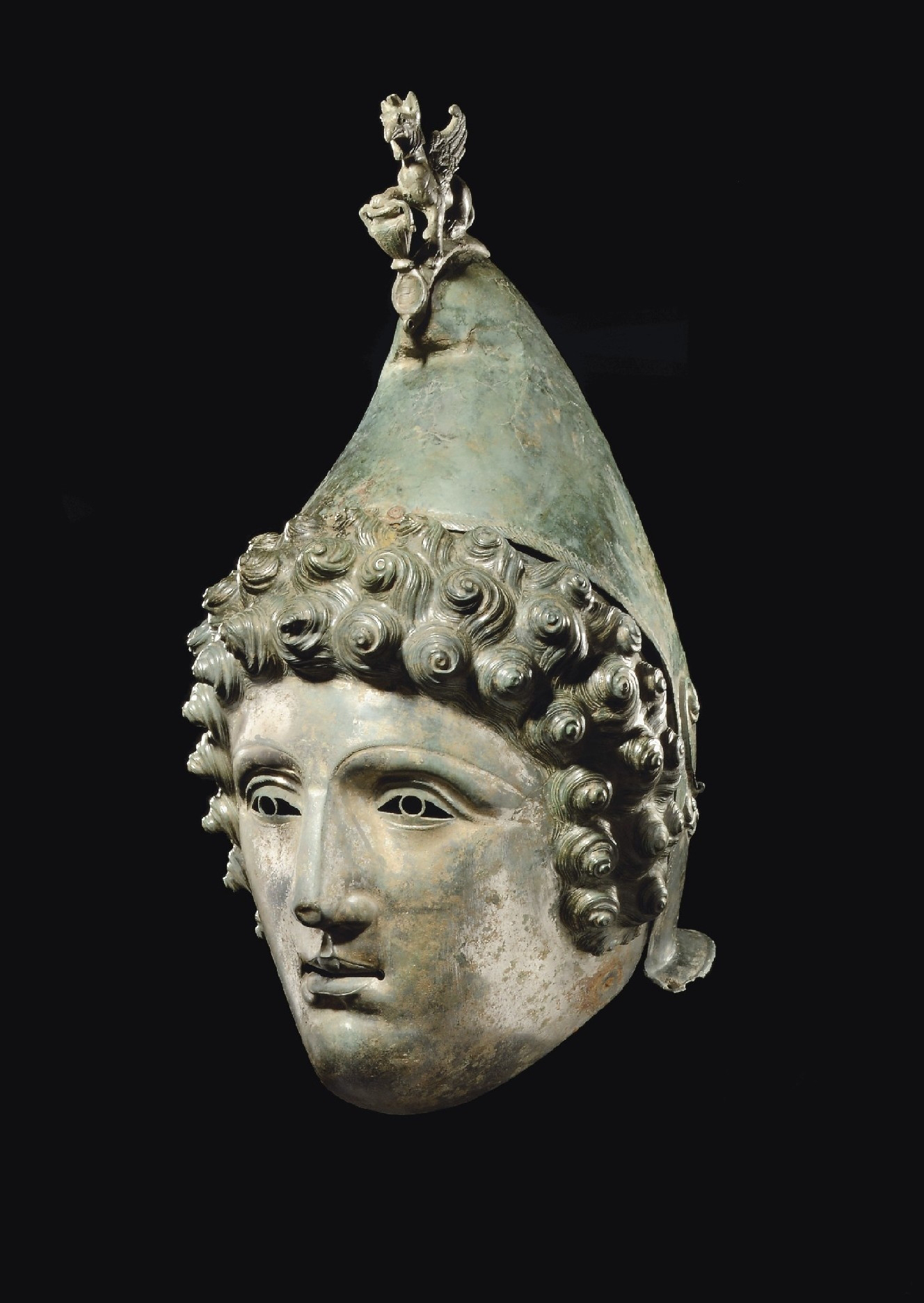
Crosby Garrett Helmet
The Crosby Garrett Helmet is a copper alloy Roman cavalry helmet dating from the late 2nd or early 3rd century AD. It was found by an unnamed metal detectorist...
St Andrew's Church, Crosby Garrett
St Andrew's Church is in the village of Crosby Garrett, Cumbria, England. It is an active Anglican parish church in the deanery of Appleby, the archdeaconry...
Crosby Garrett railway station
Crosby Garrett was a railway station which served the village of Crosby Garrett in Cumbria, England. It was situated on the Settle-Carlisle Line 38+1⁄4...
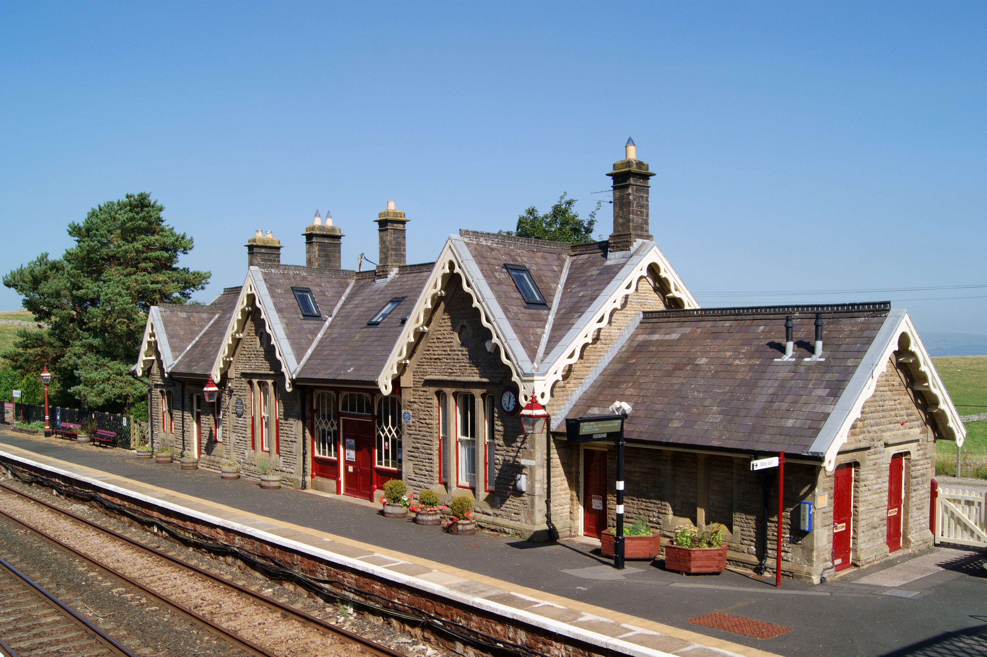
Kirkby Stephen railway station
Kirkby Stephen is a railway station in Eden in Cumbria, England, on the Settle and Carlisle Line, which runs between Carlisle and Leeds via Settle. The...
Nearby Amenities
Located within 500m of 54.464231,-2.407049Have you been to Beck Wood?
Leave your review of Beck Wood below (or comments, questions and feedback).