Elbow Wood
Wood, Forest in Lancashire Ribble Valley
England
Elbow Wood
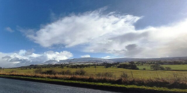
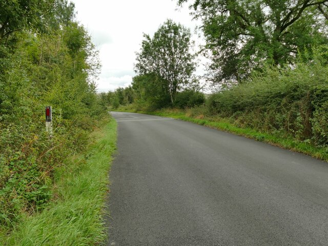
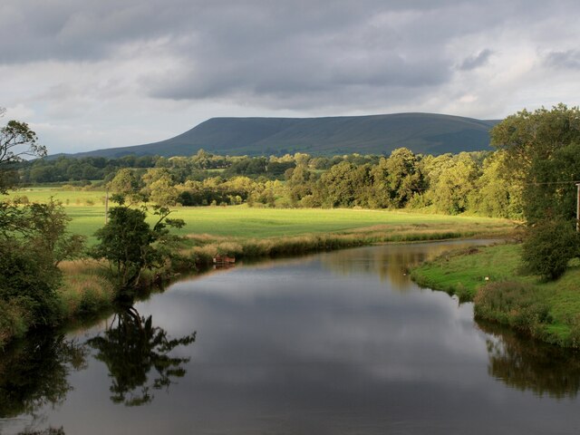
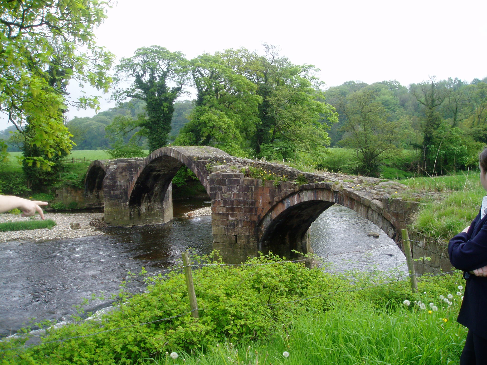
Elbow Wood, located in Lancashire, England, is a charming and picturesque forest that spans over a vast area. Nestled amidst the rolling hills and lush greenery, the wood is known for its natural beauty and tranquility. The forest gets its name from the unique bend in a nearby river that resembles an elbow, adding to its distinctive appeal.
Covering a diverse landscape, Elbow Wood offers a variety of habitats for flora and fauna to thrive. The forest is primarily composed of broadleaf trees, including oak, beech, and birch, which create a dense canopy providing shade and shelter for numerous species of wildlife. These trees also contribute to the stunning autumn foliage that blankets the forest floor in vibrant hues.
Elbow Wood is renowned for its rich biodiversity, attracting nature enthusiasts and wildlife photographers alike. The forest is home to a wide array of animal species, including deer, foxes, badgers, and various bird species. It serves as an important habitat for many migratory birds, making it a popular spot for birdwatching during the spring and fall seasons.
Visitors can explore the forest through a network of well-maintained walking trails that wind their way through the wood. These trails offer stunning views of the surrounding countryside, making it an ideal destination for hikers and nature lovers. Additionally, there are designated picnic areas where visitors can relax and enjoy the peaceful ambiance of the wood.
Overall, Elbow Wood in Lancashire is a captivating destination for those seeking solace in nature. With its diverse ecosystem and breathtaking scenery, it provides a memorable experience for visitors of all ages.
If you have any feedback on the listing, please let us know in the comments section below.
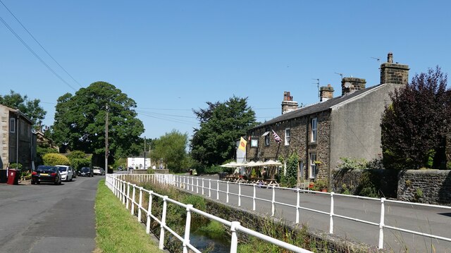
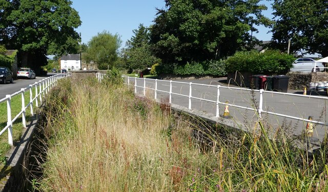
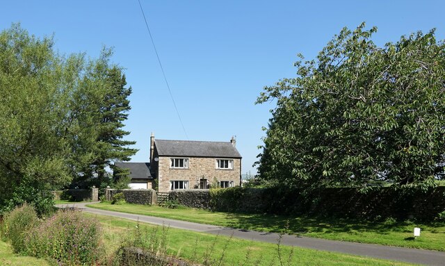
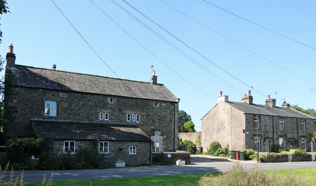
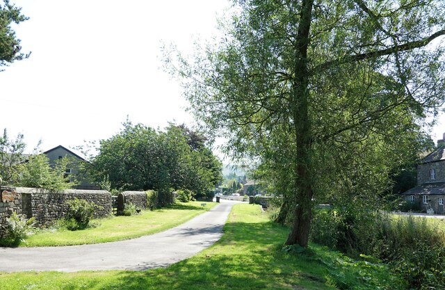
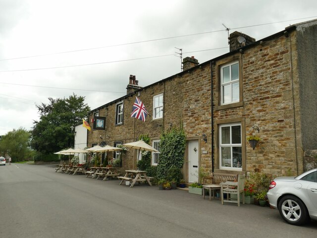
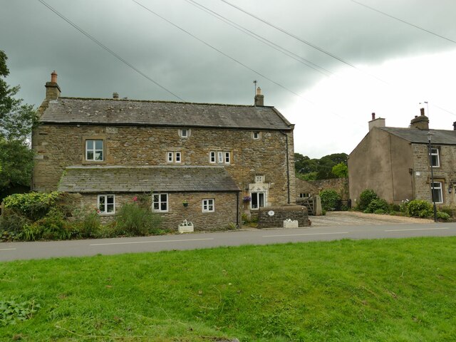
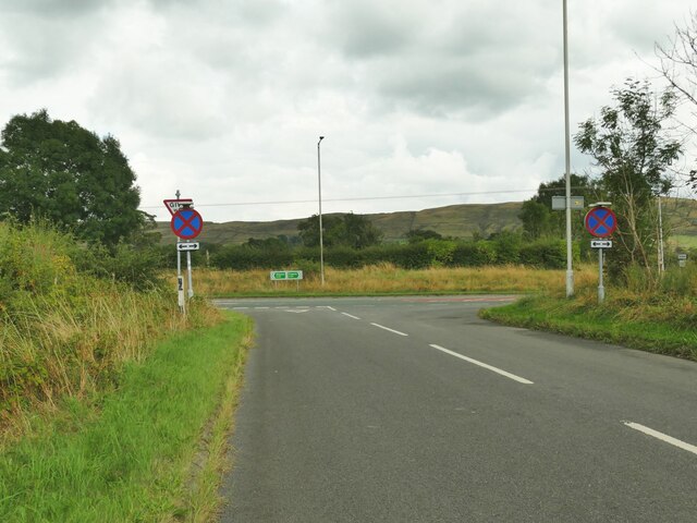
Elbow Wood Images
Images are sourced within 2km of 53.847635/-2.4019973 or Grid Reference SD7339. Thanks to Geograph Open Source API. All images are credited.


Elbow Wood is located at Grid Ref: SD7339 (Lat: 53.847635, Lng: -2.4019973)
Administrative County: Lancashire
District: Ribble Valley
Police Authority: Lancashire
What 3 Words
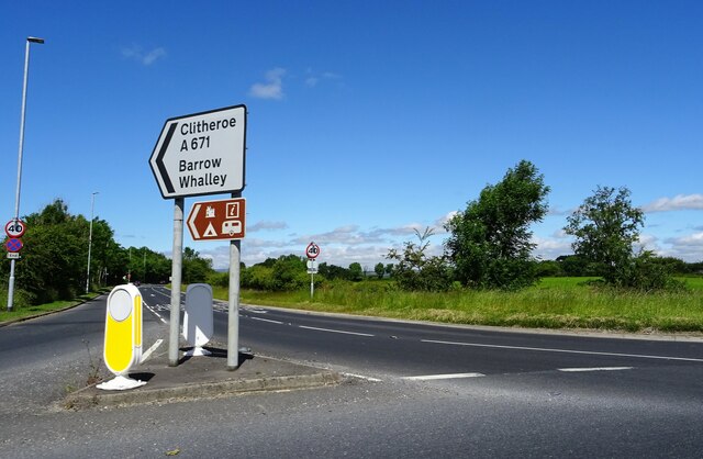
///fats.slowly.crossword. Near Clitheroe, Lancashire
Nearby Locations
Related Wikis

Barrow, Lancashire
Barrow is a village and civil parish in the Ribble Valley district in Lancashire, England, situated between Whalley and Clitheroe and bypassed by the A59...

Pendleton Brook
Pendleton Brook is a small river in Lancashire. The brook rises on Pendleton Moor and flows through the village of Pendleton, travelling north west to...

Little Mitton
Little Mitton is a civil parish in the Ribble Valley district, in the county of Lancashire, England. In 2001 the population of the civil parish of Little...
River Hodder
The River Hodder is in Lancashire, England. It is a County Biological Heritage Site. It rises on White Hill and flows for approximately 23 miles to the...
Related Videos

Whalley Walking Tour 4K - English Country Village Walk (60fps)
The walk begins at Whalley viaduct then around Whalley Abbey, past the Church of Saint Mary and a brief walk through the ...

Clitheroe and Castle Walking Tour 4K - English Country Town (60fps)
Beautiful evening walk just before sunset. The town is Clitheroe in Lancashire. The walk takes us through the town and then up to ...
![Clitheroe Town Centre and Castle | Walking Tour [4K60fps]](https://i.ytimg.com/vi/w22z_lFvv30/hqdefault.jpg)
Clitheroe Town Centre and Castle | Walking Tour [4K60fps]
A MancPlod on-tour special today plodders. We take a trip around Clitheroe including the castle. Unfortunately with it being a ...

Exploring Whalley Abbey, the viaduct and the Calder Valley
Exploring Whalley Abbey, the viaduct and the Calder Valley on rainy day in April (7 April 2022). Circular walk Strava route ...
Nearby Amenities
Located within 500m of 53.847635,-2.4019973Have you been to Elbow Wood?
Leave your review of Elbow Wood below (or comments, questions and feedback).